MA
The Avenue, Brighton, BN2
By Mansell McTaggart
£ 385,000
Mansell McTaggart says ..
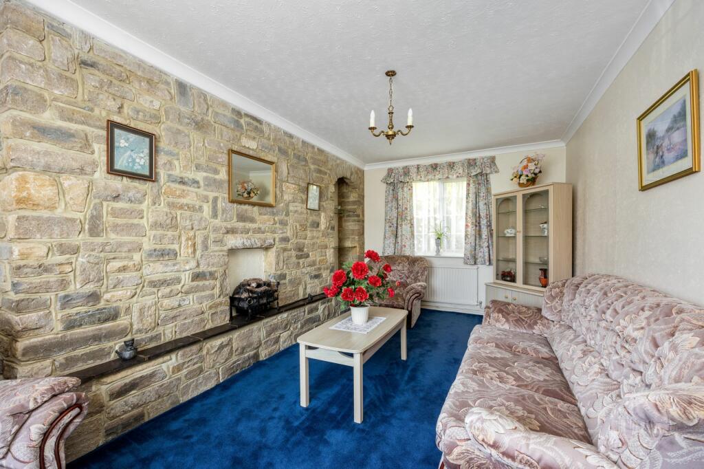
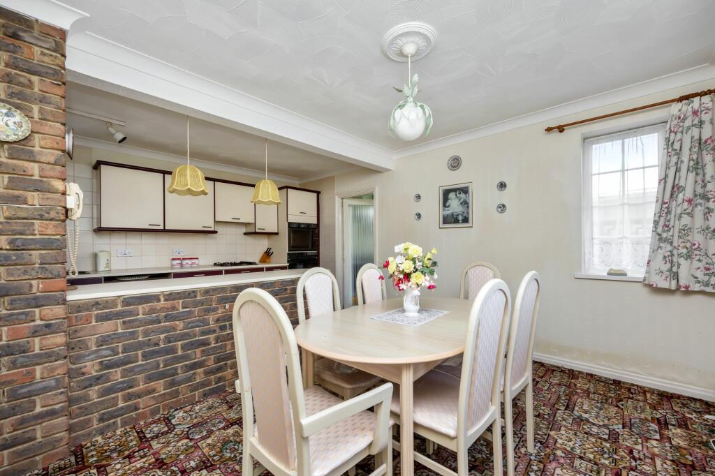
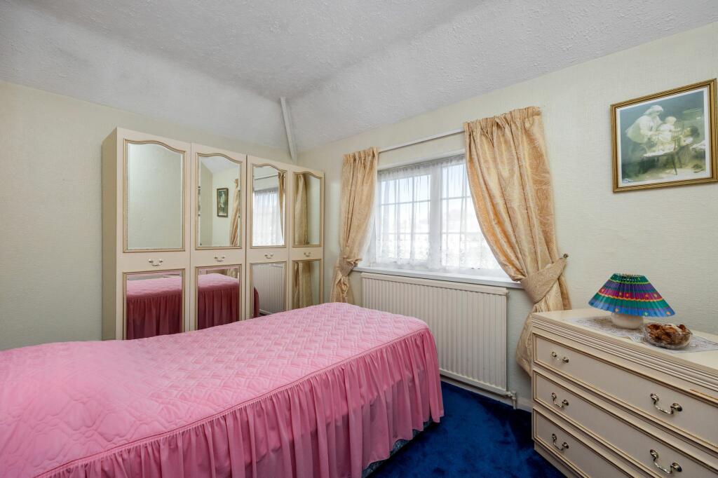
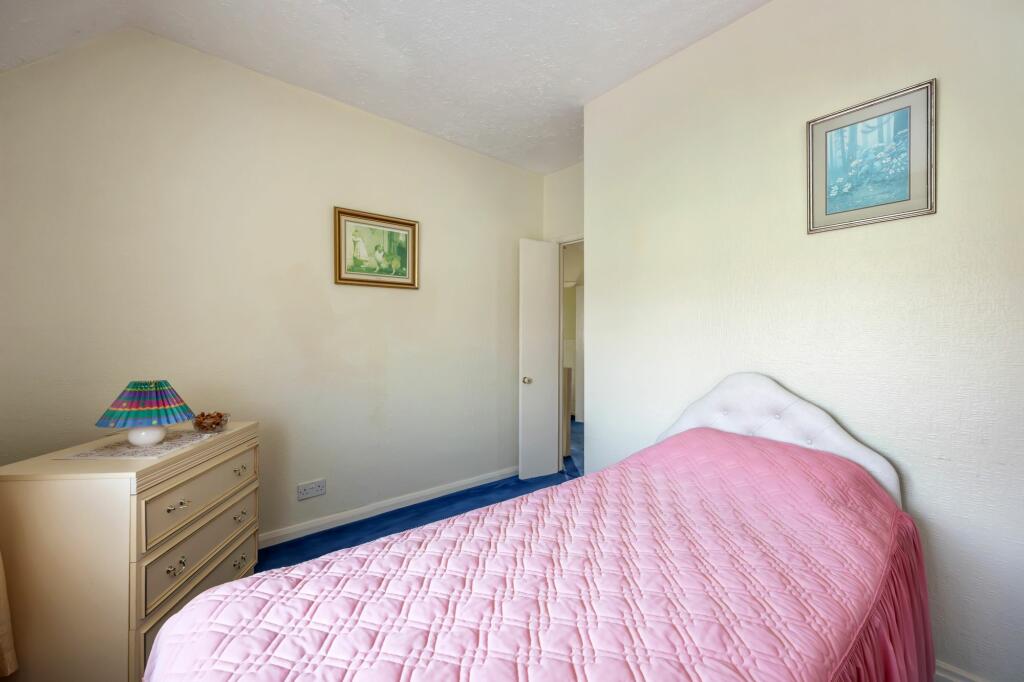
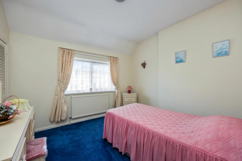
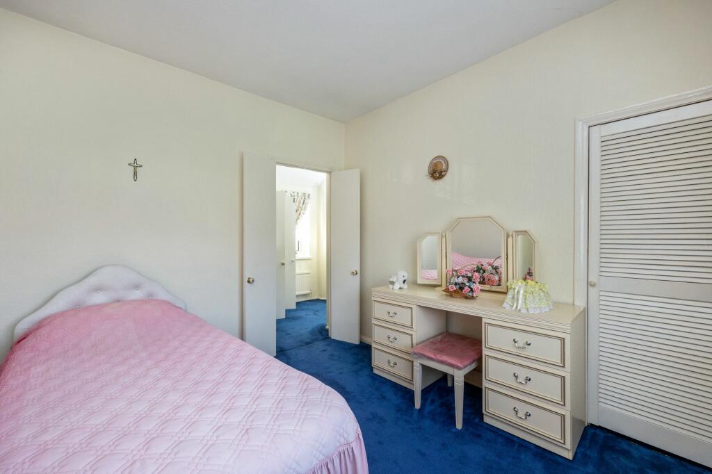
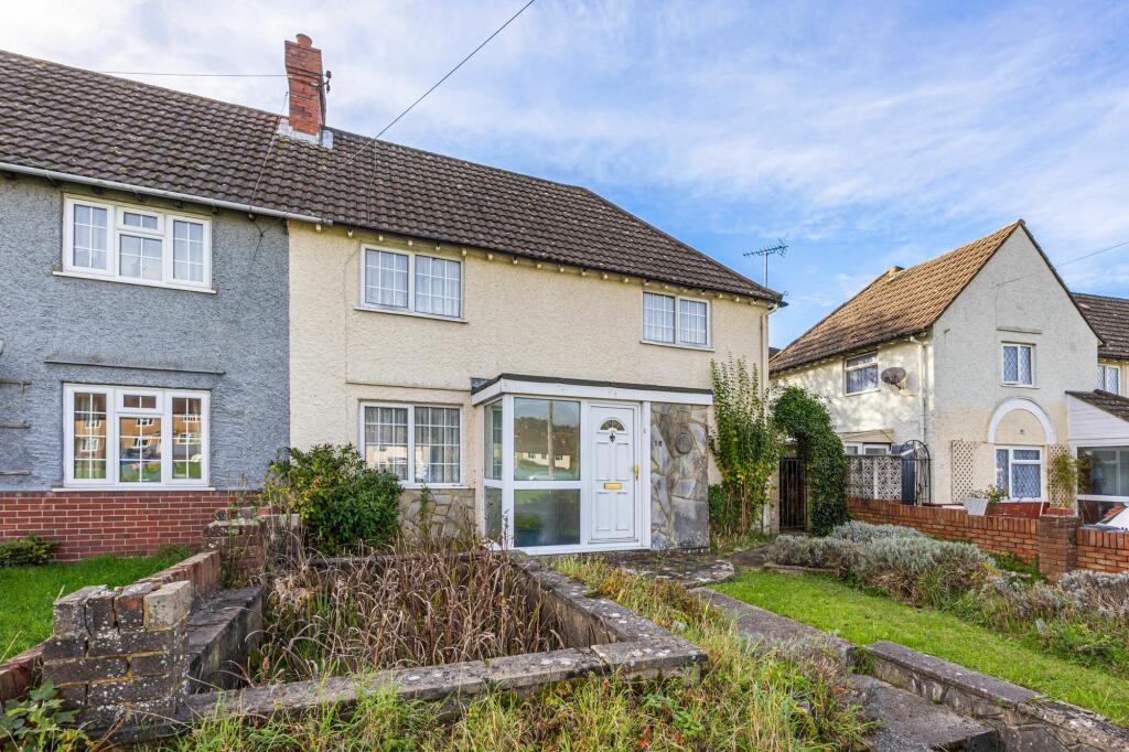
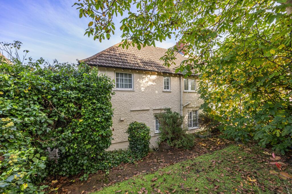
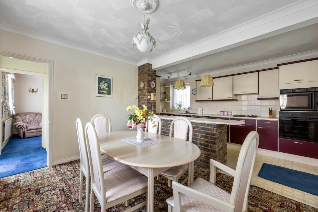
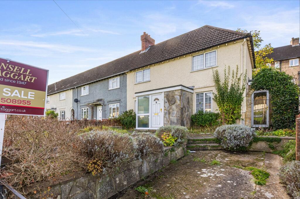
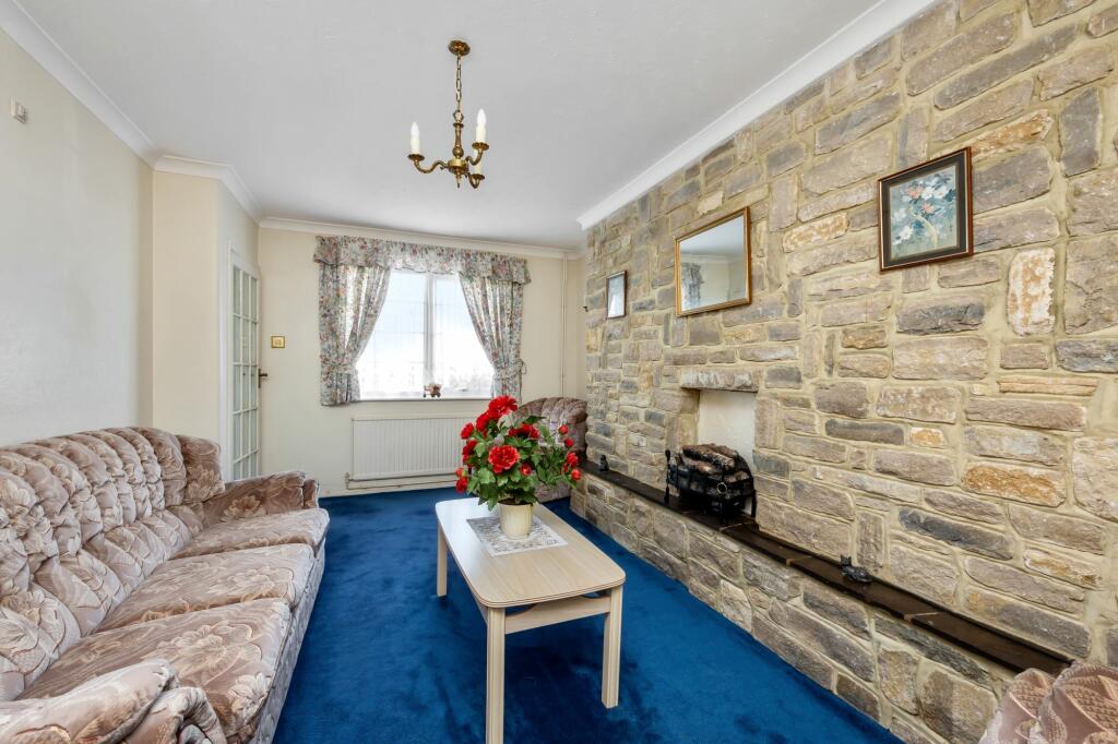
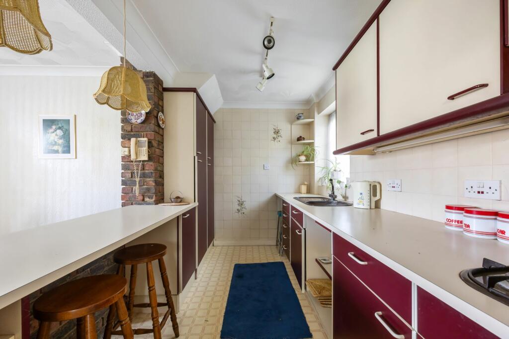
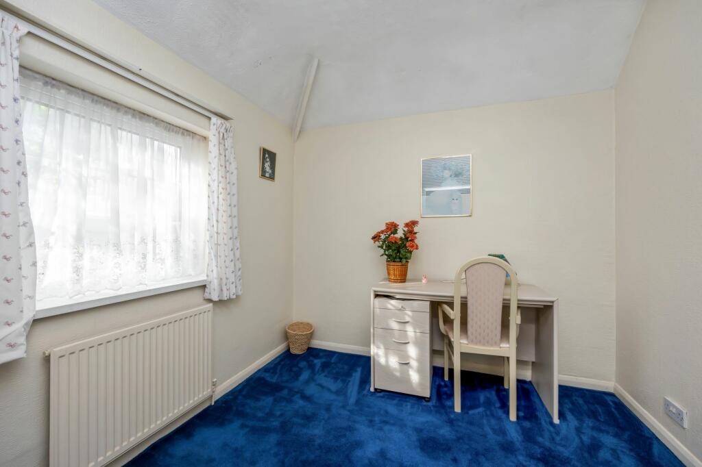
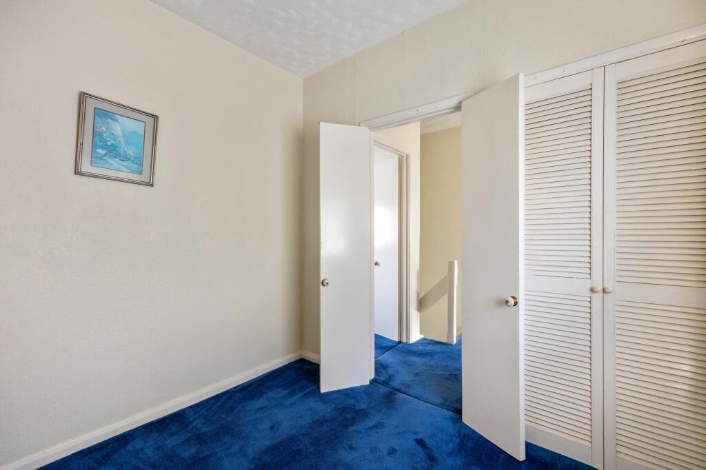
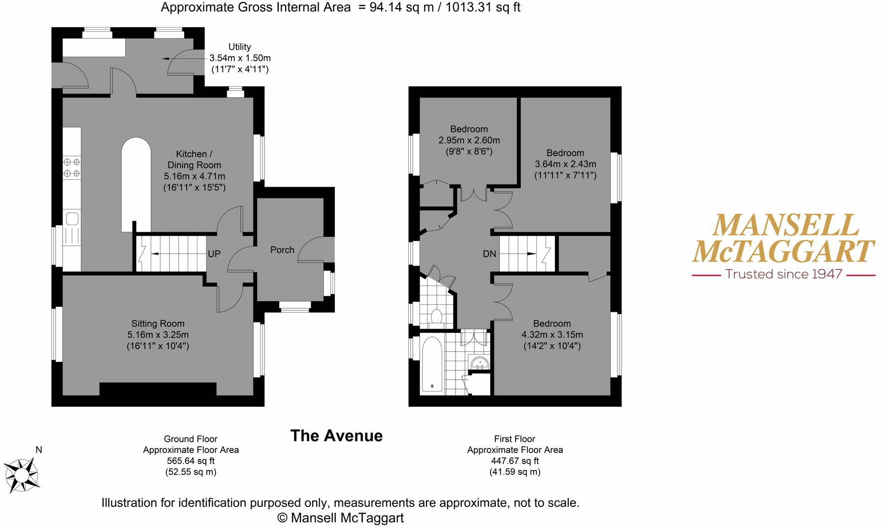
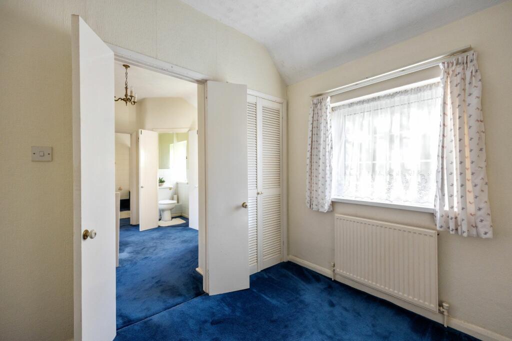
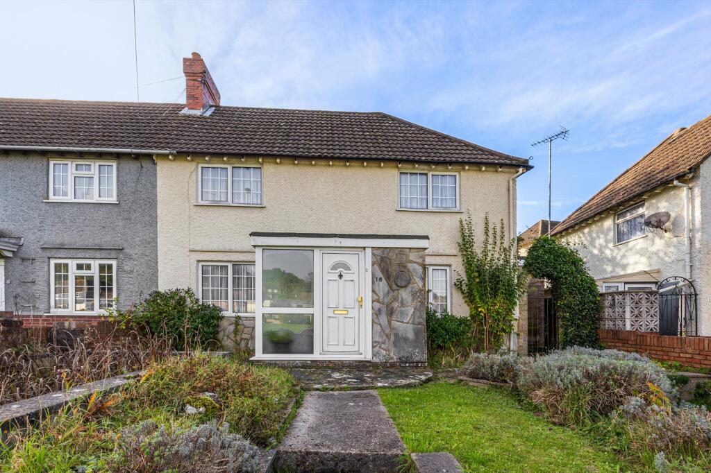
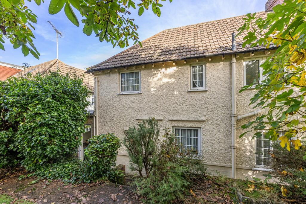
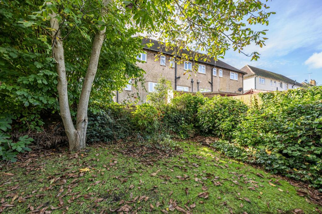
A Three Bedroom Two Reception End of Terrace property overlooking the open common with a southerly facing rear garden and private driveway to front.
- Bedrooms
- 3
- Bathrooms
- 1
The heatmap indicates the level of crime in the area. The color of the heatmap indicates the crime severity and recency.
Metrics Year-on-Year
- Average area value
- 595,400.00 £Increased by 55.56 %
- Average area rental value
- 1,973.00 £/moIncreased by 0.41 %
- Est rental Yield
- 3.98 %Decreased by 35.39 %
- Crime Rate
- 5.00 %Unchanged by 0.00 %
from 382,736.00 £
from 1,965.00 £/mo
from 6.16 %
from 5.00 %
Agent Activity
Mansell McTaggart created the listing.
Nearby Schools
| Name | Type | Ofsted | Distance |
|---|---|---|---|
| University Of Brighton | Higher Education Institutions | Good | 0.55 KM |
| Coombe Road Primary School | Community School | Good | 0.63 KM |
| Homewood College | Community Special School | Requires improvement | 0.75 KM |
| Moulsecoomb Primary School | Academy Sponsor Led | 0.86 KM | |
| Moulsecoomb Children'S Centre | Children's Centre | 0.91 KM |
Images
Nearby Streets
| Name | Average Price | Average Sqft | Distance |
|---|---|---|---|
| Robin Davis Close | £ 0 | 0 | 0.00 KM |
| Lambourne Close | £ 0 | 0 | 0.00 KM |
| Peace Close | £ 0 | 0 | 0.00 KM |
| Saint Helen's Road | £ 0 | 0 | 0.00 KM |
| Saint Leonard's Road | £ 550,000 | 0 | 0.00 KM |
Nearby Transport
| Name | NLC | TLC | Distance |
|---|---|---|---|
| Moulsecoomb | 5312 | MCB | 0.53 KM |
| London Road (Brighton) | 5281 | LRB | 2.57 KM |
| Brighton | 5268 | BTN | 3.41 KM |
| Falmer | 5337 | FMR | 3.60 KM |
| Preston Park | 5285 | PRP | 4.48 KM |
Nearby Listings
| Address | Price | Type | Score | Distance |
|---|---|---|---|---|
| The Avenue, Brighton, BN2 | £ 385,000 | BUY | Unknown | 0.00 KM |
| Southall Avenue, Brighton, BN2 | £ 450,000 | BUY | 6 / 10 | 0.13 KM |
| The Highway, Brighton | £ 500,000 | BUY | 5 / 10 | 0.25 KM |
| The Crescent, Brighton | £ 425,000 | BUY | Unknown | 0.29 KM |
| Selsfield Drive, Brighton | £ 275,000 | BUY | 6 / 10 | 0.32 KM |
Nearby Properties
| Address | Price | Distance |
|---|---|---|
| 47 The Avenue | £ 111,000 | 0.12 KM |
| 17 The Avenue | £ 201,000 | 0.12 KM |
| 13 The Avenue | £ 110,000 | 0.12 KM |
| 23 The Avenue | £ 390,000 | 0.12 KM |
| 7 The Avenue | £ 265,000 | 0.12 KM |