
A
Esplanade, Burnham-on-Sea, TA8
By A & F
£ 950
A & F says ..
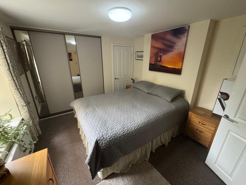
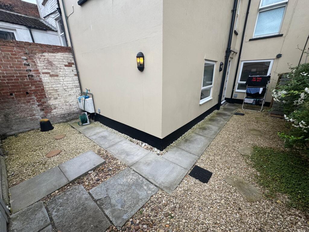
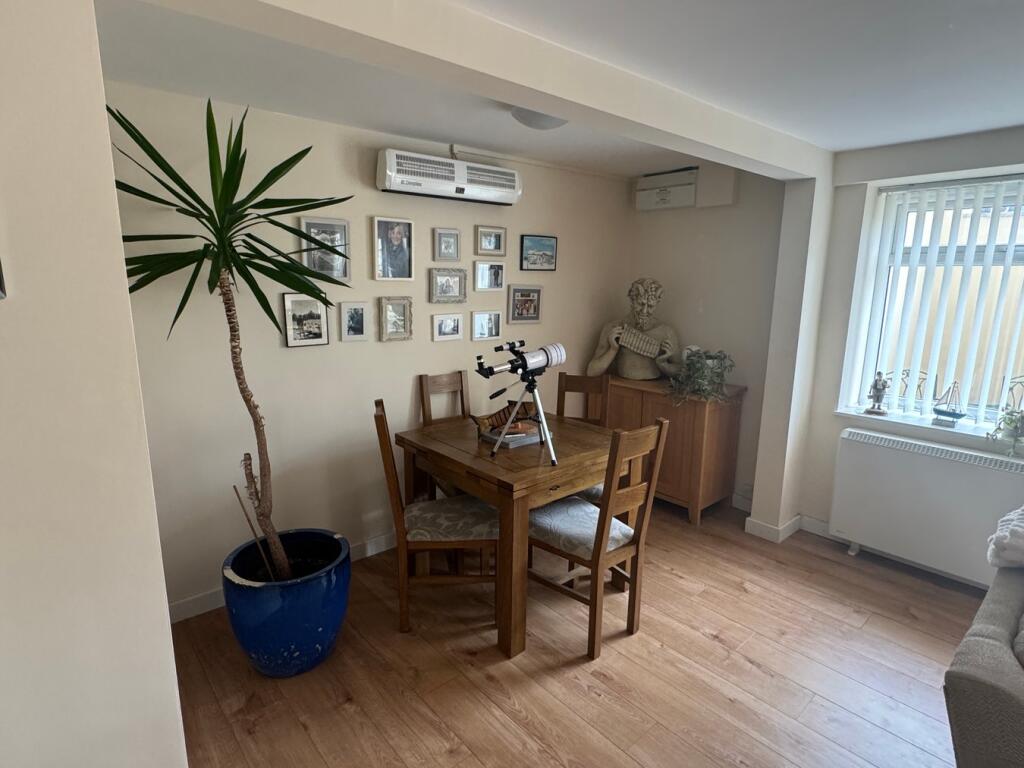
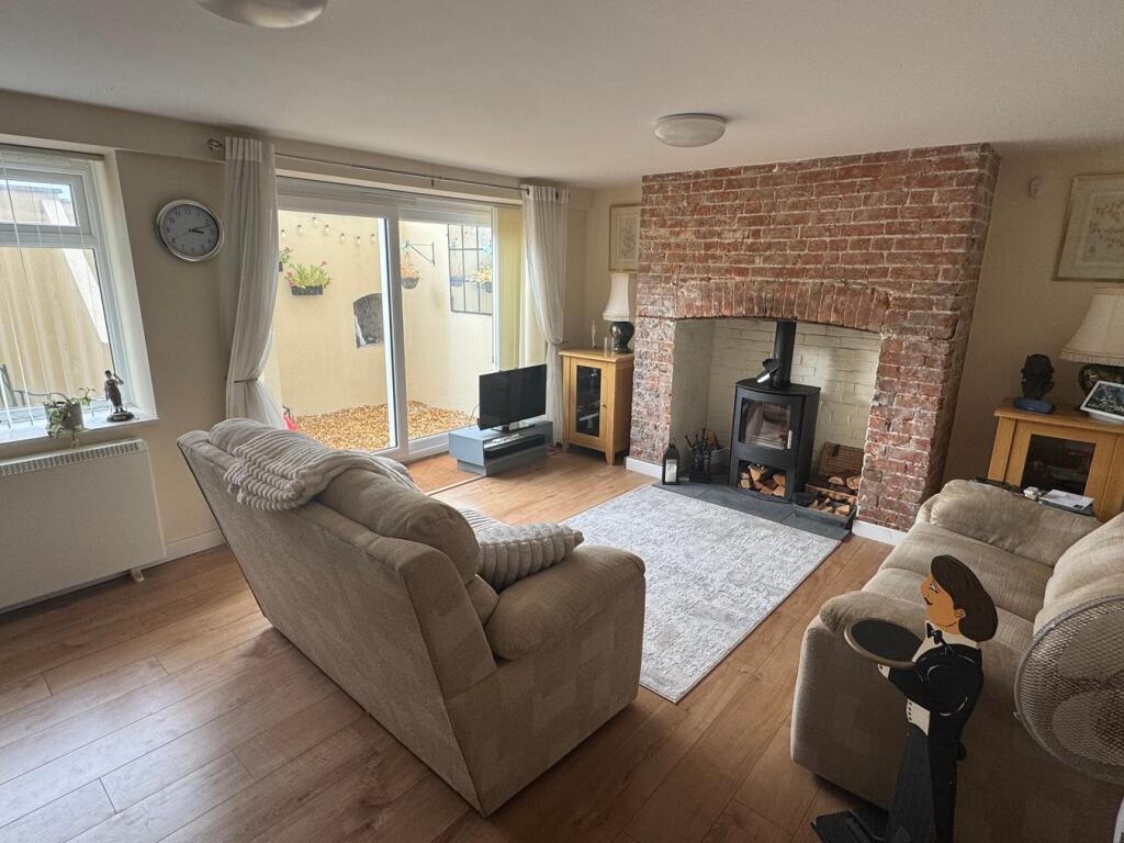
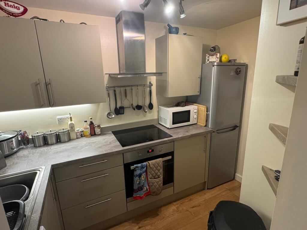
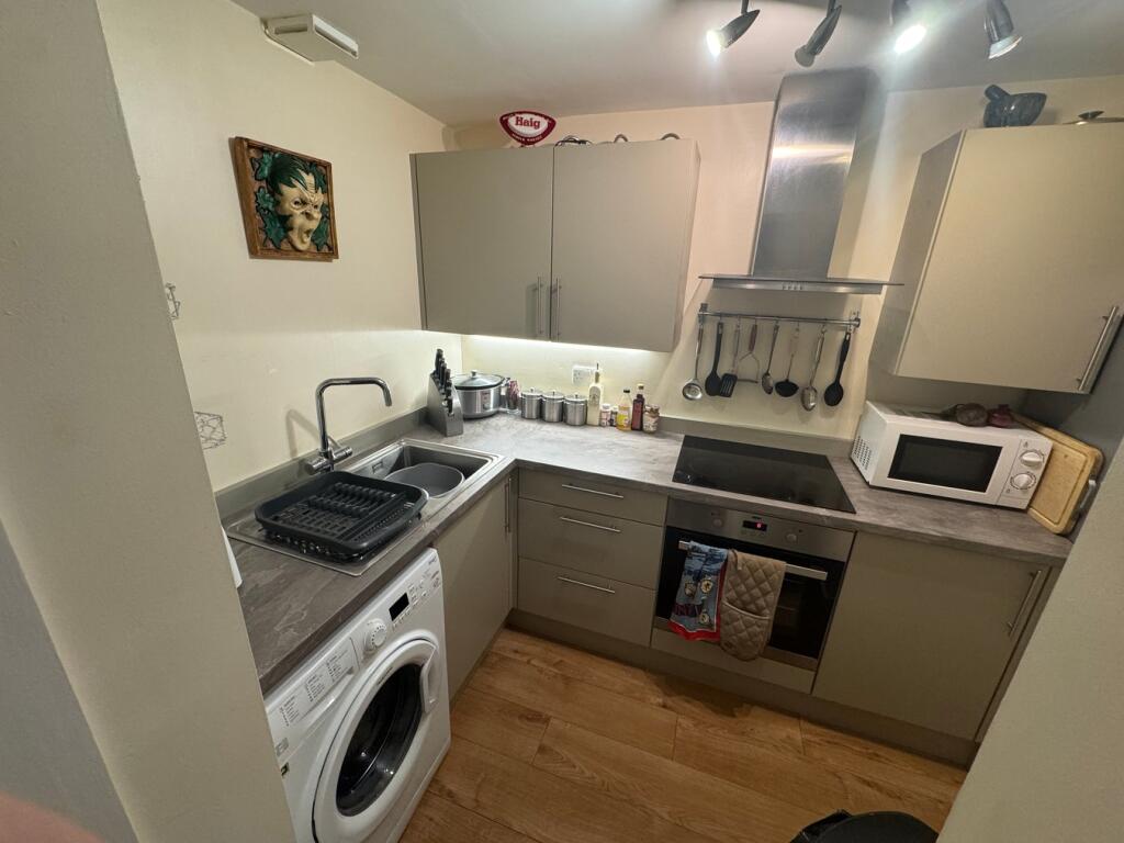
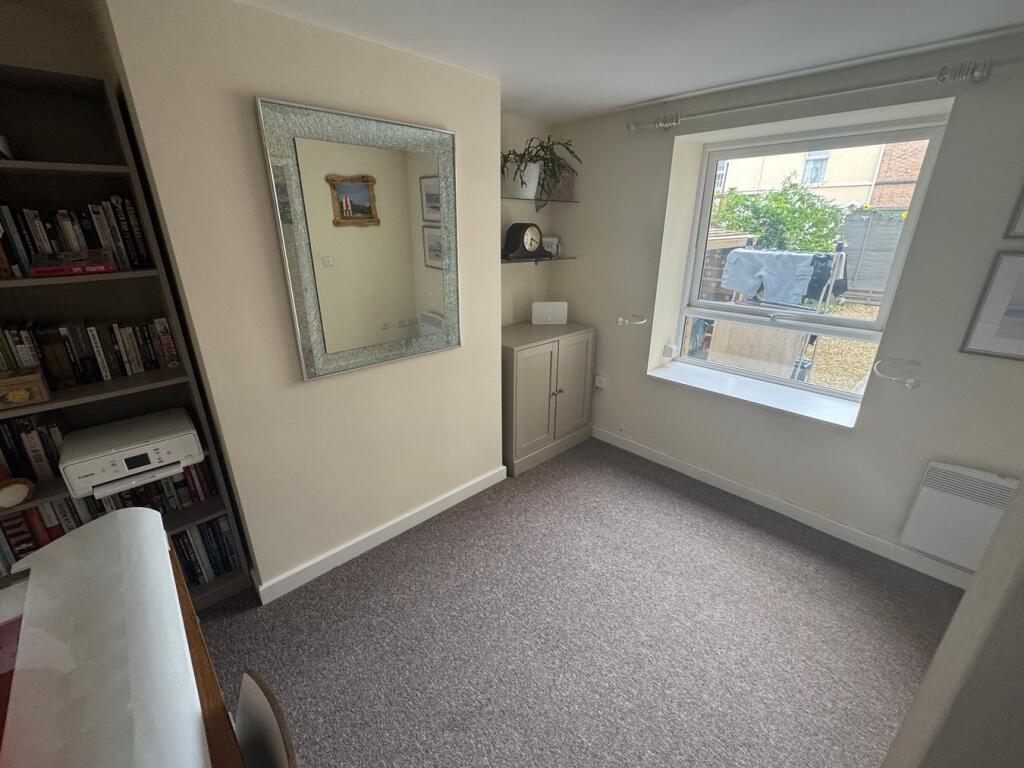
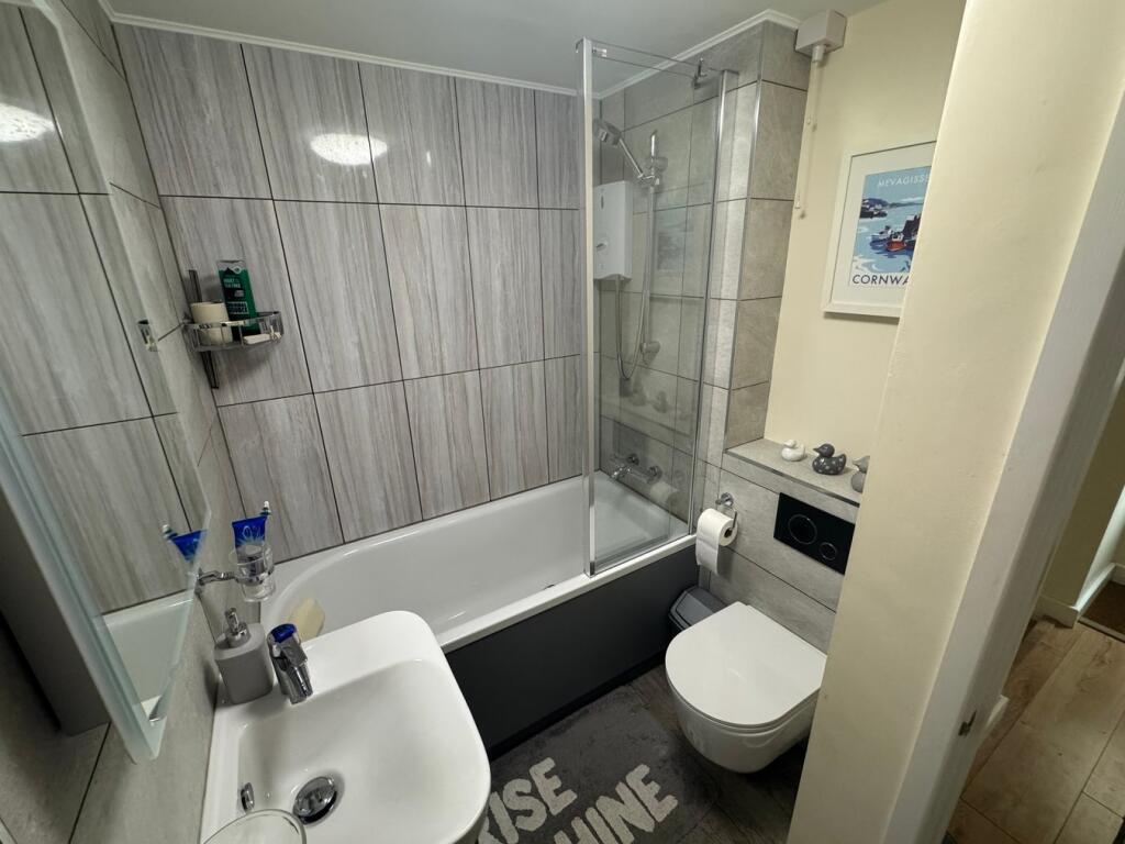
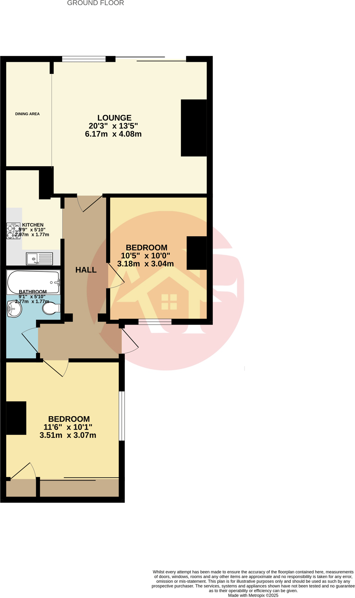
A 2 bed Basement flat situated on the heart of the seafront "To Let" with parking and thoroughly modernised accommodation.
- Bedrooms
- 2
- Bathrooms
- 1
The heatmap indicates the level of crime in the area. The color of the heatmap indicates the crime severity and recency.
Metrics Year-on-Year
- Average area value
- 277,658.00 £Decreased by 1.13 %
- Average area rental value
- 942.00 £/moDecreased by 17.59 %
- Est rental Yield
- 4.07 %Decreased by 16.60 %
- Crime Rate
- 67.00 %Unchanged by 0.00 %
from 280,828.00 £
from 1,143.00 £/mo
from 4.88 %
from 67.00 %
Agent Activity
A & F created the listing.
Nearby Schools
| Name | Type | Ofsted | Distance |
|---|---|---|---|
| St Andrew'S Church Of England Voluntary Controlled Junior School | Voluntary Controlled School | Good | 0.47 KM |
| Burnham-On-Sea Building | Children's Centre Linked Site | 1.34 KM | |
| Burnham-On-Sea Community Infant School | Community School | Outstanding | 1.49 KM |
| The King Alfred School An Academy | Academy Sponsor Led | 2.00 KM | |
| Churchfield Church School | Academy Sponsor Led | Good | 2.84 KM |
Images


Nearby Streets
| Name | Average Price | Average Sqft | Distance |
|---|---|---|---|
| John Street South | £ 0 | 0 | 0.00 KM |
| Chapel Street | £ 179,375 | 0 | 0.00 KM |
| College Street | £ 164,950 | 0 | 0.00 KM |
| George Street | £ 0 | 0 | 0.00 KM |
| South Street | £ 182,469 | 0 | 0.00 KM |
Nearby Transport
| Name | NLC | TLC | Distance |
|---|---|---|---|
| Highbridge And Burnham | 3314 | HIG | 3.58 KM |
Nearby Listings
| Address | Price | Type | Score | Distance |
|---|---|---|---|---|
| Esplanade, Burnham-on-Sea, TA8 | £ 950 | RENT | Unknown | 0.00 KM |
| George Street, Burnham-on-Sea, TA8 | £ 900 | RENT | Unknown | 0.13 KM |
| High Street, Burnham-on-Sea, Somerset, TA8 | £ 1,150 | RENT | Unknown | 0.13 KM |
| Regent Street, Burnham-on-Sea, Somerset, TA8 | £ 825 | RENT | Unknown | 0.15 KM |
| Regent Street, Burnham-on-Sea, Somerset, TA8 | £ 700 | RENT | Unknown | 0.17 KM |
Nearby Properties
| Address | Price | Distance |
|---|---|---|
| 20 Esplanade | £ 177,000 | 0.01 KM |
| 13d Esplanade | £ 172,500 | 0.07 KM |
| 13b Esplanade | £ 139,000 | 0.07 KM |
| 13c Esplanade | £ 175,000 | 0.07 KM |
| 5 Cross Street | £ 120,000 | 0.09 KM |