HA
Vardon Road, Stevenage
By haart
£ 325,000
haart says ..
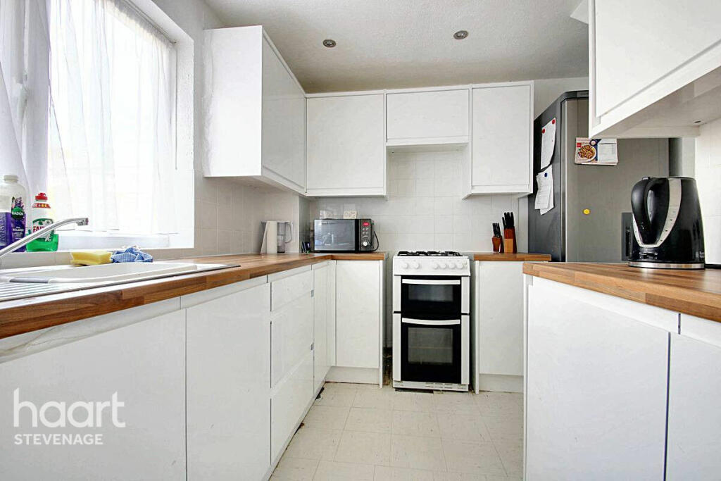
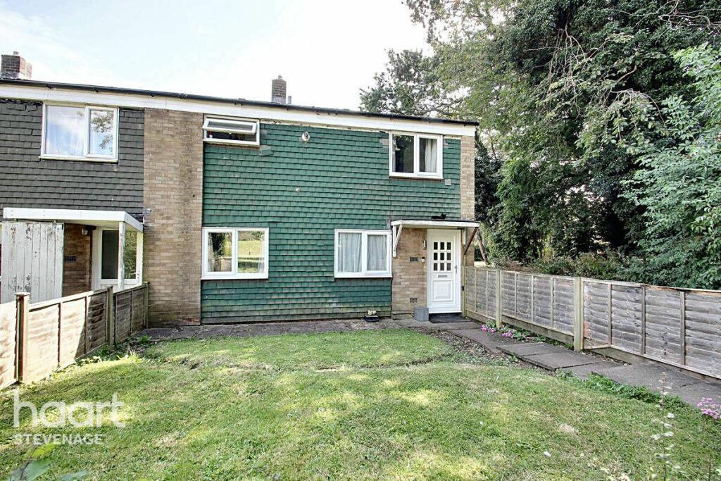
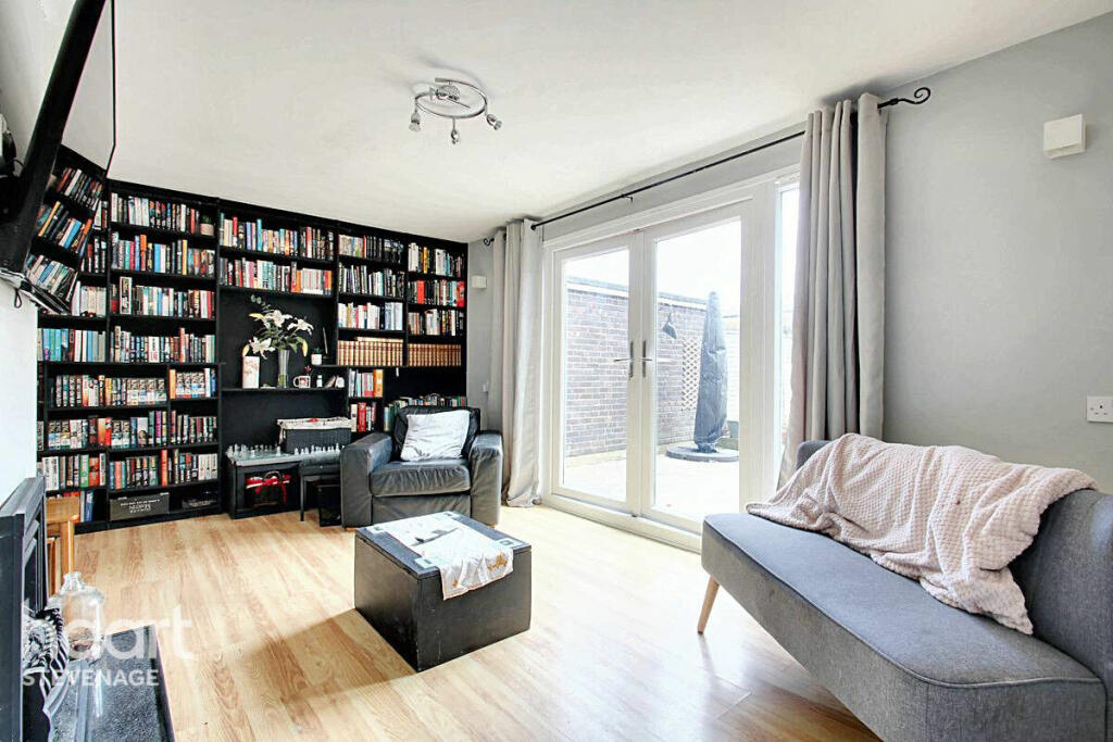
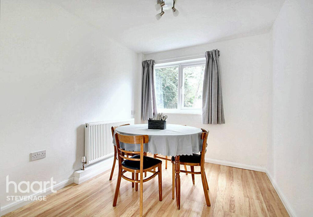
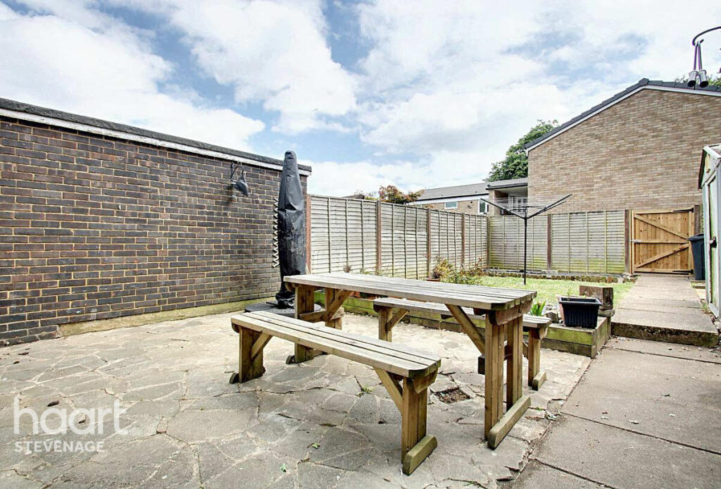
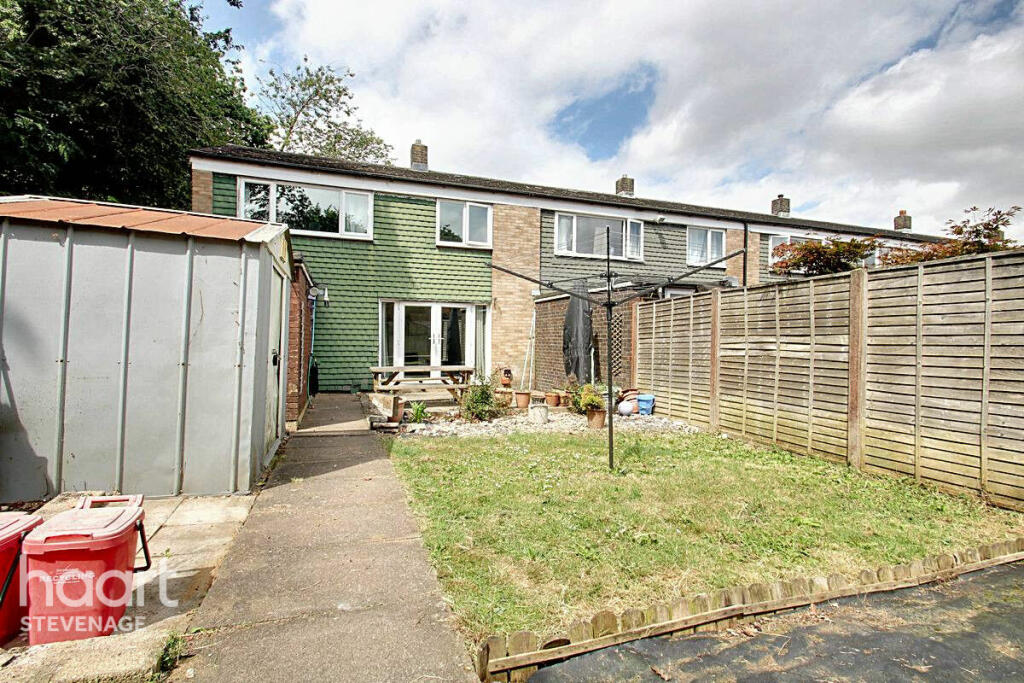
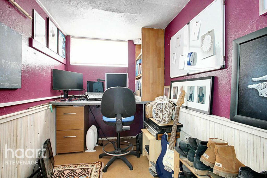
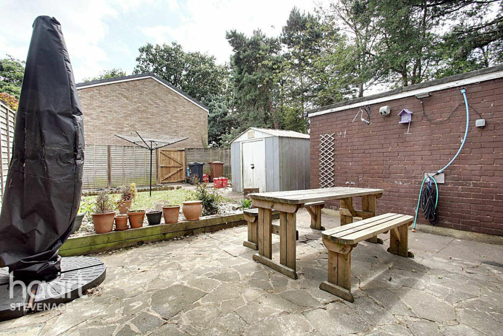
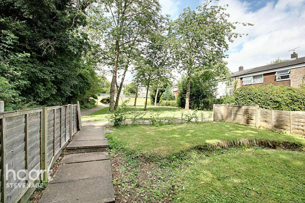
Tucked away in a peaceful off road position overlooking a green with the Pin Green Area of Stevenage this family home also offers a study and a generous south facing rear garden
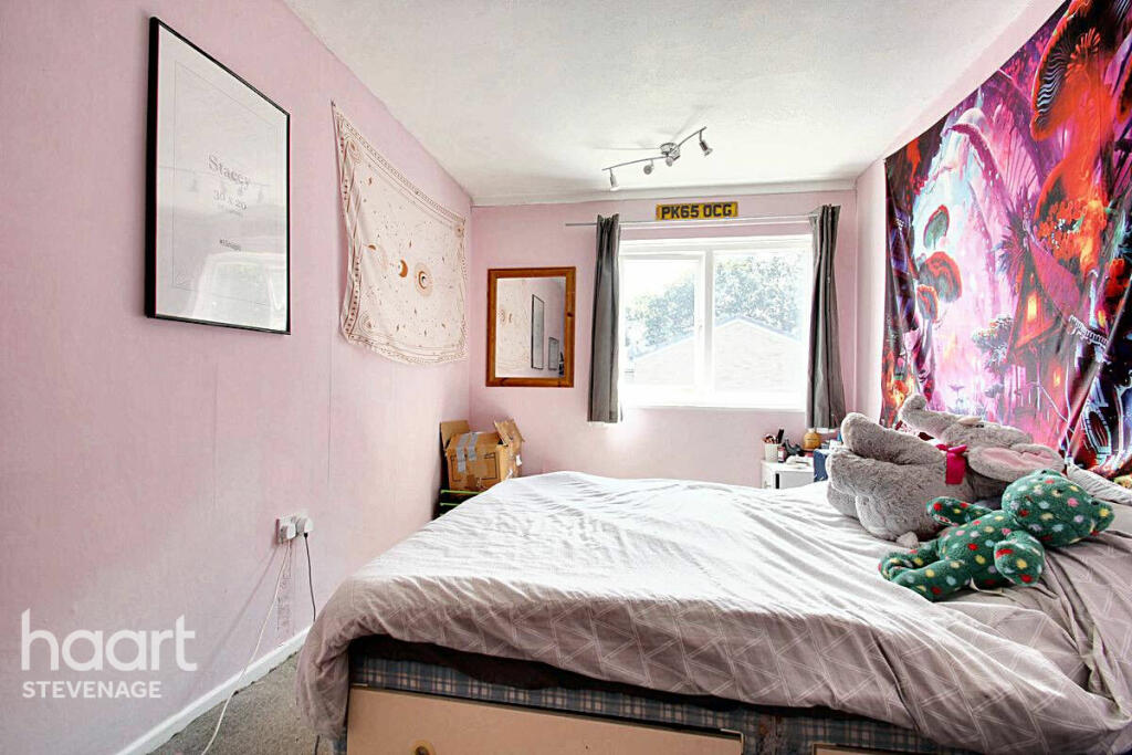
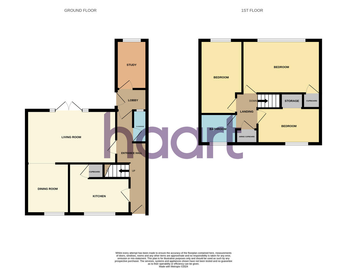
- Bedrooms
- 3
- Bathrooms
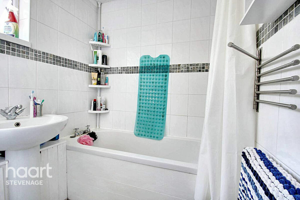
- 1
The heatmap indicates the level of crime in the area. The color of the heatmap indicates the crime severity and recency.
Metrics Year-on-Year
- Average area value
- 383,997.00 £Decreased by 7.91 %
- Average area rental value
- 950.00 £/moDecreased by 51.90 %
- Est rental Yield
- 2.97 %Decreased by 47.71 %
- Crime Rate
- 15.00 %Unchanged by 0.00 %
from 416,970.00 £
from 1,975.00 £/mo
from 5.68 %
from 15.00 %
Agent Activity
haart created the listing.
Nearby Schools
| Name | Type | Ofsted | Distance |
|---|---|---|---|
| S2 St Nicholas & Martins Wood Family Centre | Children's Centre | 0.16 KM | |
| Martins Wood Primary School | Community School | Good | 0.48 KM |
| Giles Junior School | Community School | Good | 0.65 KM |
| The Giles Infant And Nursery School | Community School | Good | 0.65 KM |
| Moss Bury Primary School And Nursery | Community School | Good | 0.69 KM |
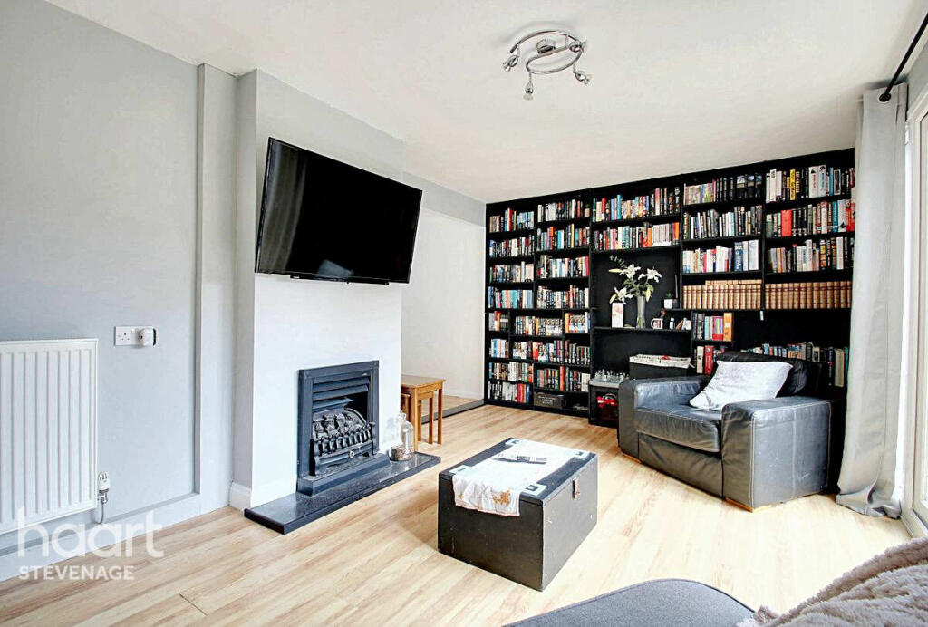
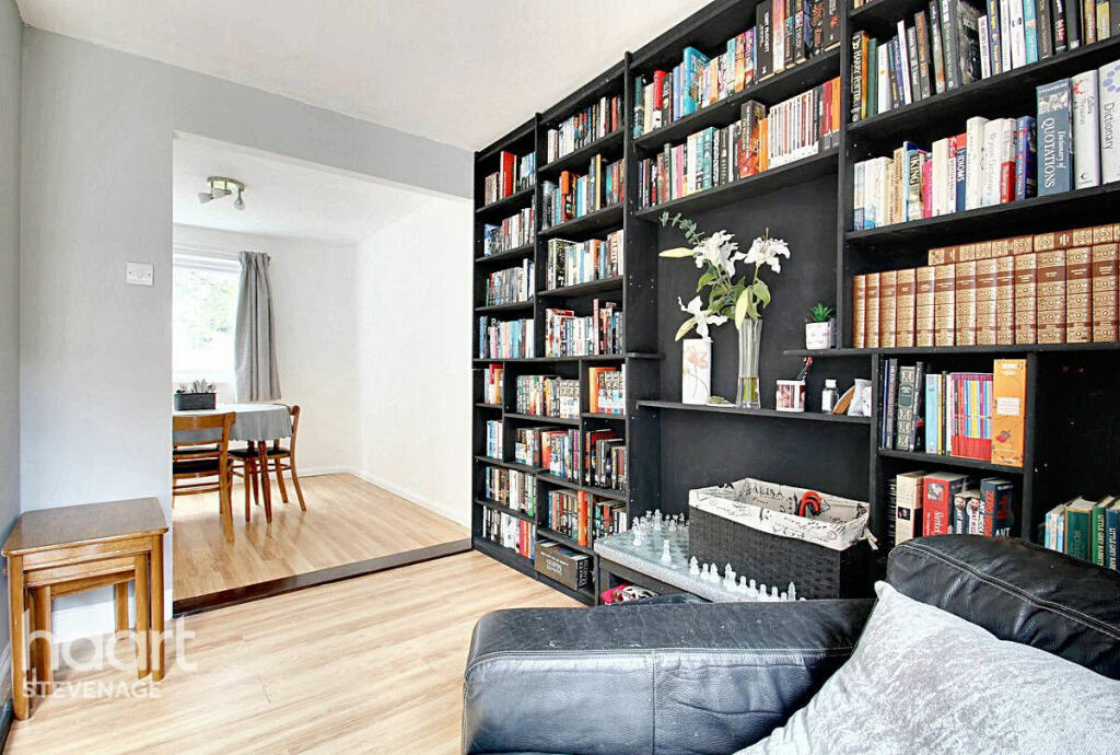
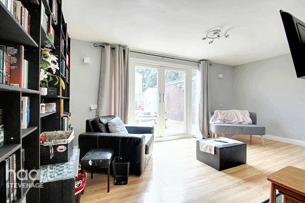
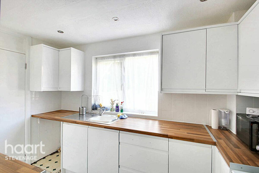
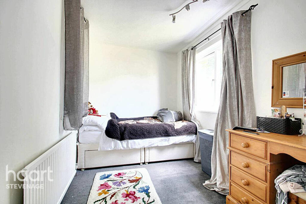
Images

Nearby Streets
| Name | Average Price | Average Sqft | Distance |
|---|---|---|---|
| Larwood Grove | £ 0 | 0 | 0.00 KM |
| Chells Way | £ 325,000 | 0 | 0.00 KM |
| Cameron Close | £ 895,000 | 0 | 0.00 KM |
| Scott Road | £ 340,000 | 0 | 0.00 KM |
| Wedgwood Way | £ 0 | 0 | 0.00 KM |
Nearby Transport
| Name | NLC | TLC | Distance |
|---|---|---|---|
| Stevenage | 6092 | SVG | 3.73 KM |
| Knebworth | 6088 | KBW | 5.82 KM |
| Baldock | 6084 | BDK | 8.38 KM |
| Letchworth Garden City | 6089 | LET | 8.92 KM |
| Watton-At-Stone | 6095 | WAS | 9.44 KM |
Nearby Listings
| Address | Price | Type | Score | Distance |
|---|---|---|---|---|
| Vardon Road, Stevenage | £ 325,000 | BUY | Unknown | 0.00 KM |
| Vardon Road, Stevenage, Hertfordshire, SG1 | £ 130,000 | BUY | 5 / 10 | 0.10 KM |
| Bradman Way, Stevenage | £ 190,000 | BUY | 5 / 10 | 0.14 KM |
| Verity Way, Stevenage | £ 335,000 | BUY | 6 / 10 | 0.15 KM |
| Bradman Way, Stevenage, Hertfordshire, SG1 | £ 290,000 | BUY | Unknown | 0.16 KM |
Nearby Properties
| Address | Price | Distance |
|---|---|---|
| 63 Vardon Road | £ 164,995 | 0.10 KM |
| 35 Vardon Road | £ 109,000 | 0.10 KM |
| 79 Vardon Road | £ 135,000 | 0.10 KM |
| 55 Vardon Road | £ 100,000 | 0.10 KM |
| 33 Vardon Road | £ 30,000 | 0.10 KM |