RE
Ebury Bridge Road, London, SW1W
By Residential Realtors
£ 360
Residential Realtors says ..
***Walking distance to Victoria station ***
- Bedrooms
- 0
- Bathrooms
- 1
The heatmap indicates the level of crime in the area. The color of the heatmap indicates the crime severity and recency.
Metrics Year-on-Year
- Average area value
- 827,000.00 £Decreased by 61.77 %
- Average area rental value
- 2,642.00 £/moIncreased by 25.21 %
- Est rental Yield
- 3.83 %Increased by 227.35 %
- Crime Rate
- 5.00 %Unchanged by 0.00 %
from 2,163,391.00 £
from 2,110.00 £/mo
from 1.17 %
from 5.00 %
Agent Activity
Residential Realtors created the listing.
Nearby Schools
| Name | Type | Ofsted | Distance |
|---|---|---|---|
| St Barnabas' Cofe Primary School | Voluntary Aided School | Good | 0.31 KM |
| Sir Simon Milton Westminster University Technical College | University Technical College | 0.47 KM | |
| Francis Holland School | Other Independent School | 0.53 KM | |
| Knightsbridge And Belgravia Children'S Centre Information Point | Children's Centre Linked Site | 0.65 KM | |
| Garden House School | Other Independent School | 0.80 KM |
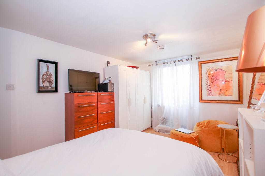
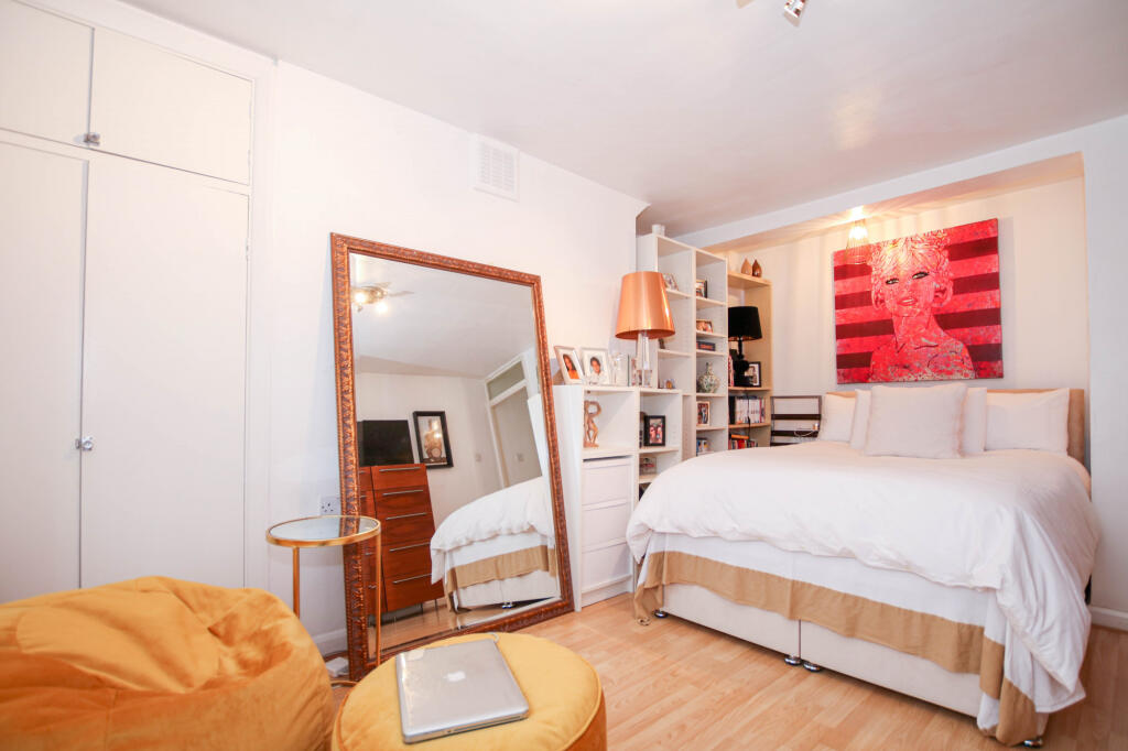
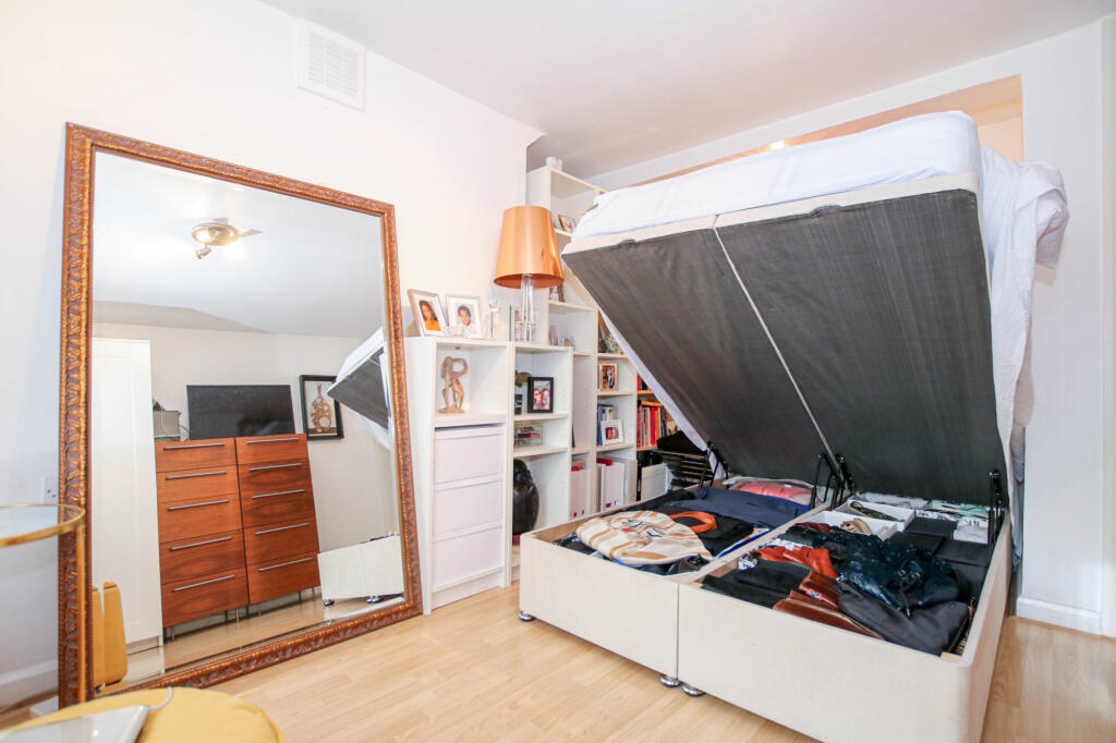
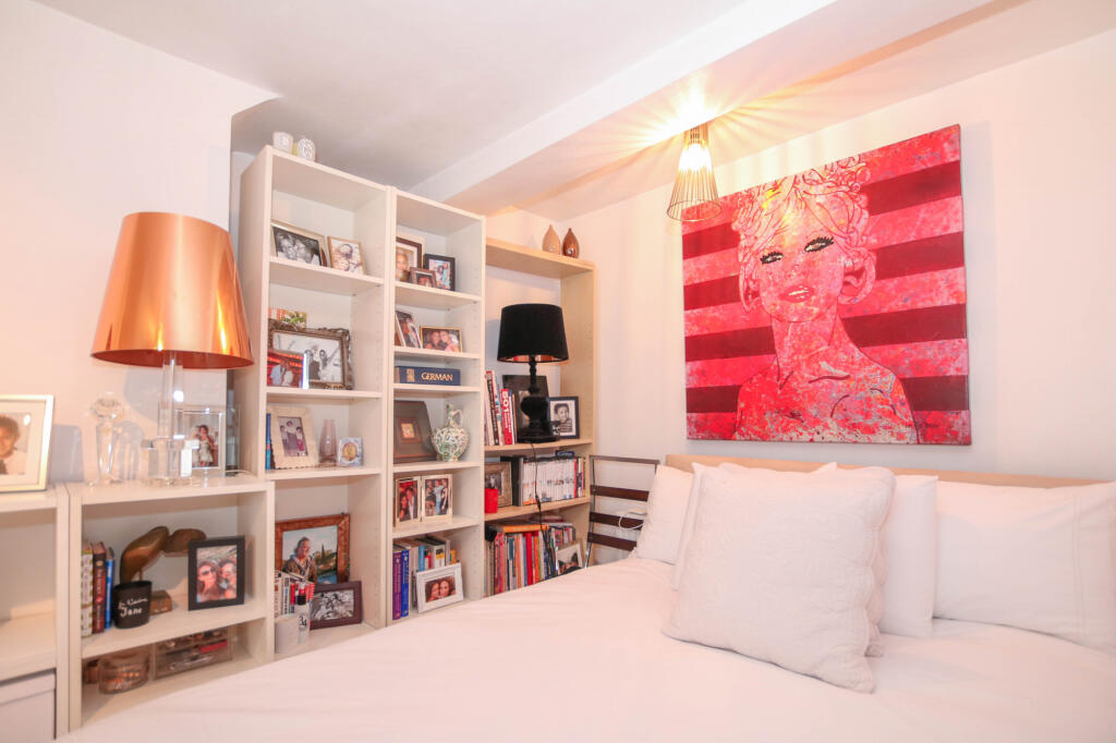
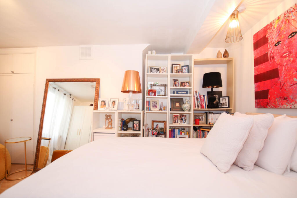
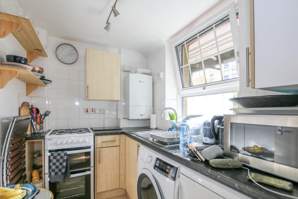
Images


Nearby Streets
| Name | Average Price | Average Sqft | Distance |
|---|---|---|---|
| St Barnabas Mews | £ 0 | 0 | 0.00 KM |
| Ebury Bridge Road | £ 0 | 0 | 0.00 KM |
| Chelsea Bridge | £ 0 | 0 | 0.00 KM |
| Avery Farm Row | £ 0 | 0 | 0.00 KM |
| Palace Mews | £ 0 | 0 | 0.00 KM |
Nearby Transport
| Name | NLC | TLC | Distance |
|---|---|---|---|
| Victoria | 5426 | VIC | 1.08 KM |
| Battersea Park | 5420 | BAK | 1.27 KM |
| Queenstown Road (Battersea) | 5596 | QRB | 1.51 KM |
| Wandsworth Road | 5372 | WWR | 2.40 KM |
| Vauxhall | 5597 | VXH | 3.10 KM |
Nearby Listings
| Address | Price | Type | Score | Distance |
|---|---|---|---|---|
| Ebury Bridge Road, London, SW1W | £ 360 | RENT | Unknown | 0.00 KM |
| Gatliff Close, Ebury Bridge Road, SW1W | £ 3,250 | RENT | Unknown | 0.01 KM |
| Gatliff Close, Ebury Bridge Road, London | £ 400 | RENT | Unknown | 0.01 KM |
| Gatliff Close, London | £ 400 | RENT | Unknown | 0.01 KM |
| Gatliff Close, Ebury Bridge Road, London, SW1W | £ 700 | RENT | Unknown | 0.01 KM |
Nearby Properties
| Address | Price | Distance |
|---|---|---|
| 65 Ebury Bridge Road | £ 795,000 | 0.08 KM |
| 63 Ebury Bridge Road | £ 795,000 | 0.08 KM |
| 67 Ebury Bridge Road | £ 1,370,000 | 0.08 KM |
| 43 Ranelagh Grove | £ 550,750 | 0.23 KM |
| 49 Ranelagh Grove | £ 1,445,000 | 0.23 KM |