

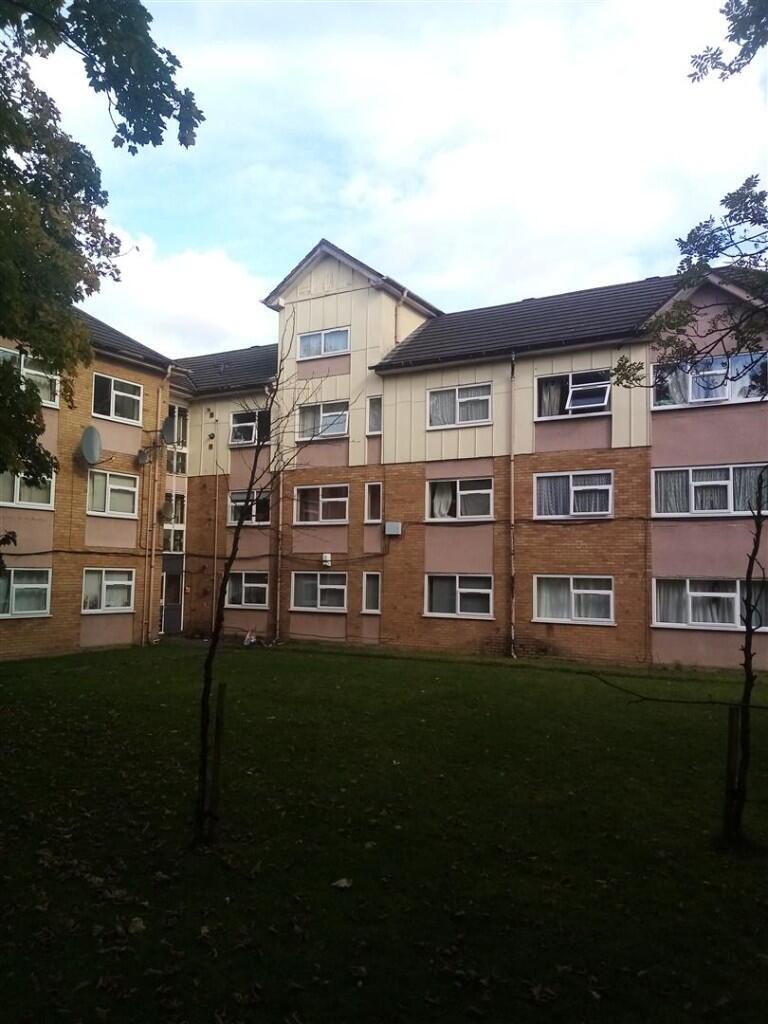
Denison Road, Manchester, Greater Manchester, M14
By H Homes
£ 980
H Homes says ..
Large Duplex 2 Bedroom Apartment
- Bedrooms
- 2
- Bathrooms
- 2
The heatmap indicates the level of crime in the area. The color of the heatmap indicates the crime severity and recency.
Metrics Year-on-Year
- Average area value
- 259,000.00 £Decreased by 16.45 %
- Average area rental value
- 888.00 £/moDecreased by 19.13 %
- Est rental Yield
- 4.11 %Decreased by 3.29 %
- Crime Rate
- 0.00 %
from 309,997.00 £
from 1,098.00 £/mo
from 4.25 %
from 0.00 %
Agent Activity
H Homes created the listing.
Nearby Schools
| Name | Type | Ofsted | Distance |
|---|---|---|---|
| Xaverian College | Further Education | Outstanding | 0.40 KM |
| St Chrysostom'S Cofe Primary School | Voluntary Controlled School | Good | 0.79 KM |
| St James' Cofe Primary School, Birch-In-Rusholme | Voluntary Aided School | Good | 0.83 KM |
| Manchester Hospital School | Community Special School | Good | 0.87 KM |
| Manchester High School For Girls | Other Independent School | 0.98 KM |
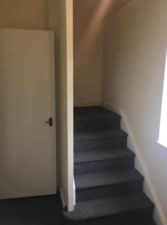
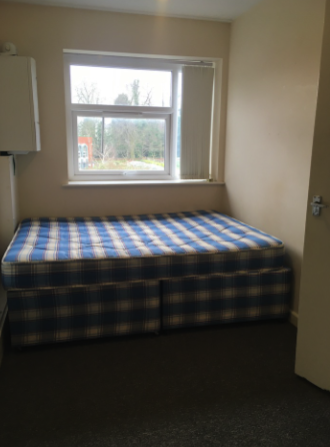
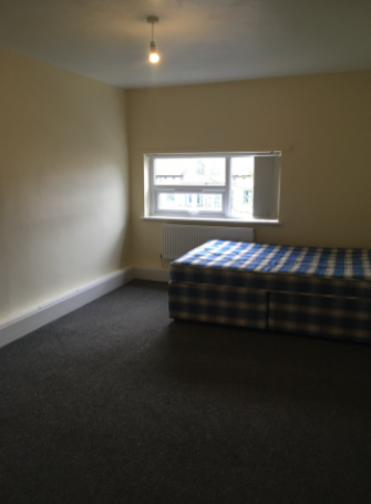
Images

Nearby Streets
| Name | Average Price | Average Sqft | Distance |
|---|---|---|---|
| Aylesford Road | £ 0 | 0 | 0.00 KM |
| Hope Road | £ 0 | 0 | 0.00 KM |
| Oxford Place | £ 165,000 | 0 | 0.00 KM |
| Stone Place | £ 0 | 0 | 0.00 KM |
| Basil Street | £ 0 | 0 | 0.00 KM |
Nearby Transport
| Name | NLC | TLC | Distance |
|---|---|---|---|
| Ardwick | 2960 | ADK | 1.88 KM |
| Mauldeth Road | 2867 | MAU | 2.67 KM |
| Manchester Piccadilly | 2968 | MAN | 2.81 KM |
| Levenshulme | 2862 | LVM | 3.13 KM |
| Ashburys | 2941 | ABY | 3.26 KM |
Nearby Listings
| Address | Price | Type | Score | Distance |
|---|---|---|---|---|
| Denison Road, Manchester, Greater Manchester, M14 | £ 980 | RENT | Unknown | 0.00 KM |
| Denison Road, Victoria Park, £125pppw | £ 125 | RENT | Unknown | 0.06 KM |
| Denison Road, Manchester, M14 | £ 774 | RENT | Unknown | 0.07 KM |
| Denison Road, Victoria Park, £125pppw | £ 125 | RENT | Unknown | 0.09 KM |
| Schuster Road, Victoria Park, £135pppw | £ 135 | RENT | Unknown | 0.10 KM |
Nearby Properties
| Address | Price | Distance |
|---|---|---|
| 61 Denison Road | £ 278,950 | 0.11 KM |
| 57 Denison Road | £ 264,950 | 0.11 KM |
| 41 Denison Road | £ 340,000 | 0.11 KM |
| 37 Denison Road | £ 280,000 | 0.11 KM |
| 53 Denison Road | £ 330,000 | 0.11 KM |