KI
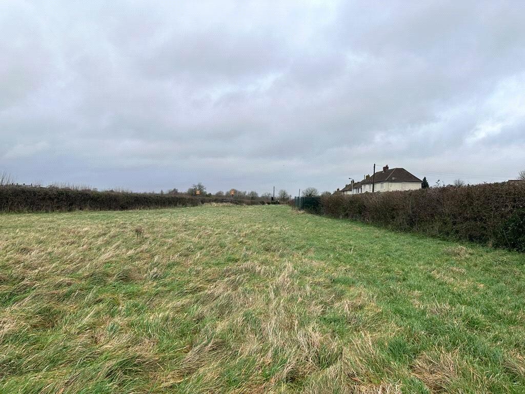
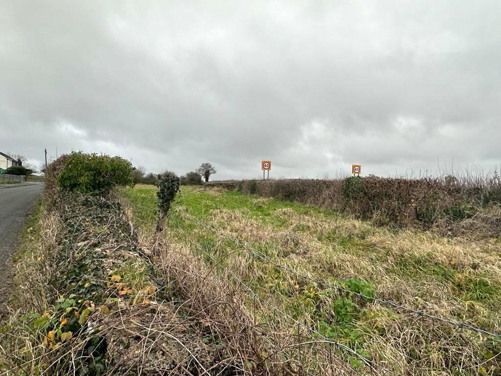
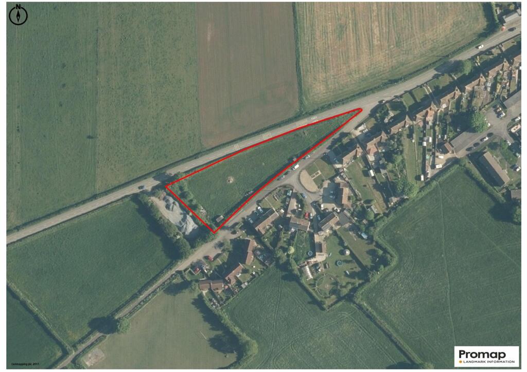
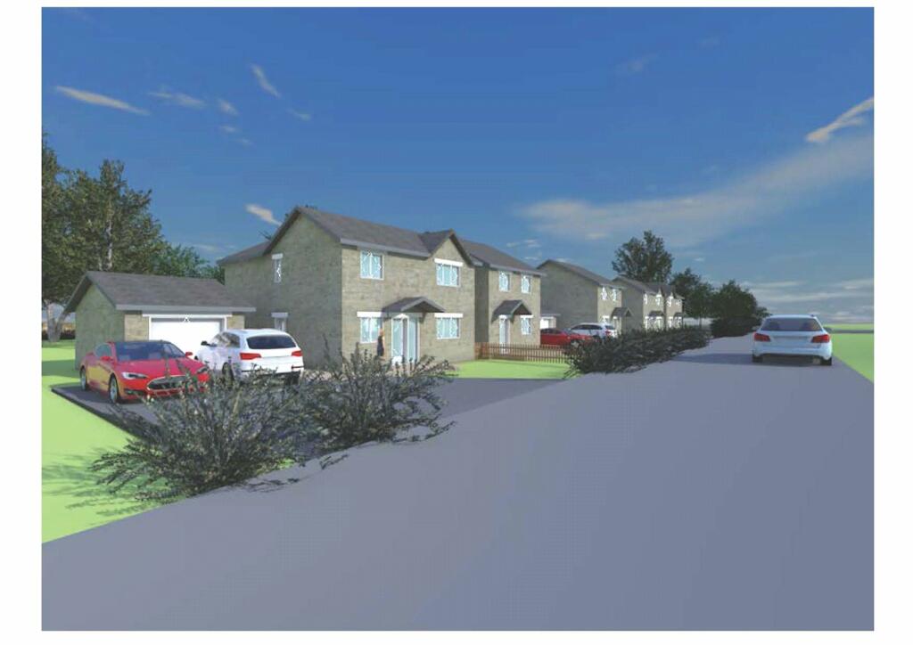
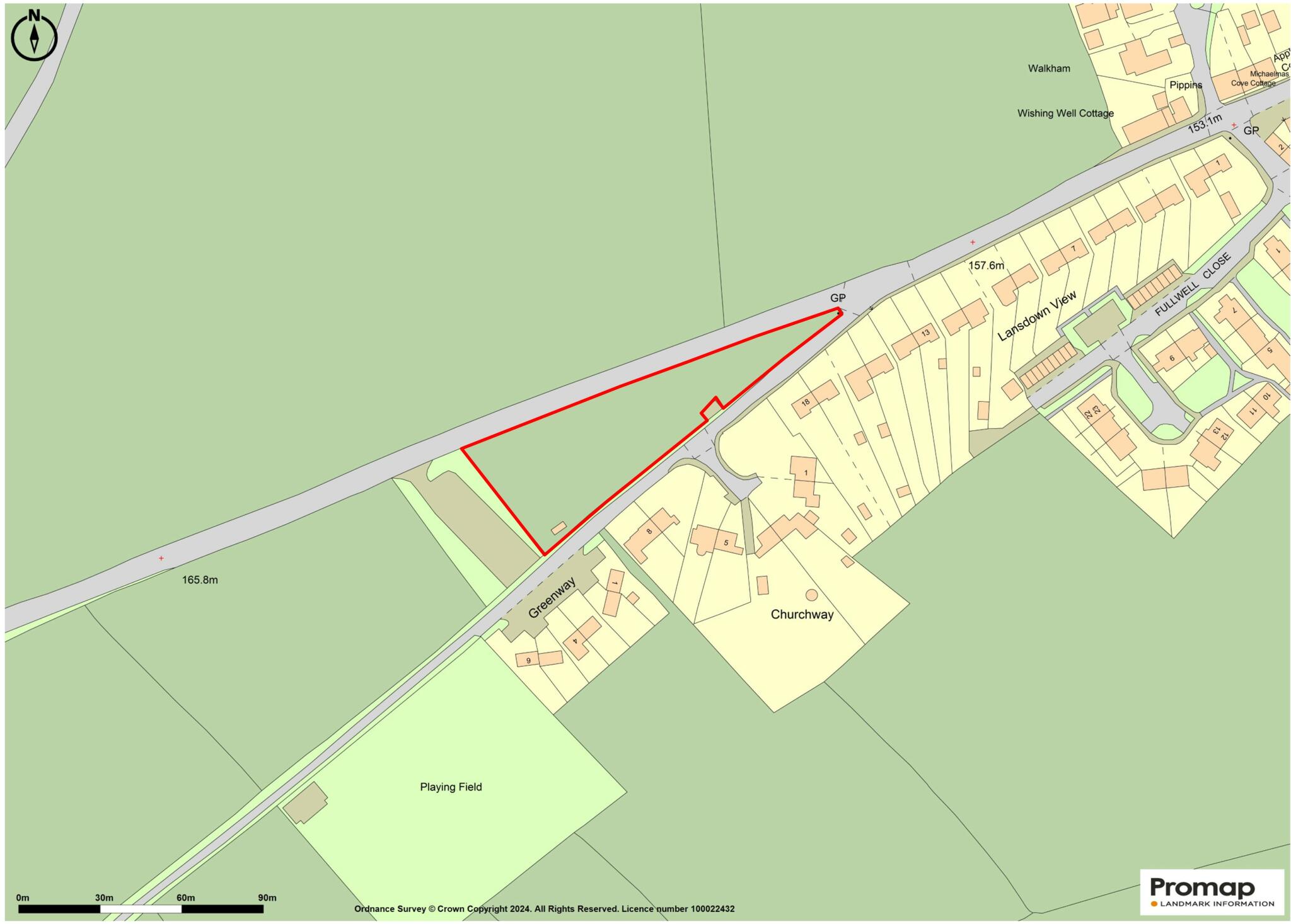
Faulkland - Development Land
By Killens
£ 900,000
Killens says ..
0.9 acres of pasture situated on the edge of the village with outline planning permission for the erection of five dwellings
- Bedrooms
- 0
- Bathrooms
- 0
The heatmap indicates the level of crime in the area. The color of the heatmap indicates the crime severity and recency.
Metrics Year-on-Year
- Average area value
- 686,107.00 £Decreased by 13.94 %
- Average area rental value
- 2,042.00 £/moDecreased by 7.18 %
- Est rental Yield
- 3.57 %Increased by 7.85 %
- Crime Rate
- 0.00 %
from 797,268.00 £
from 2,200.00 £/mo
from 3.31 %
from 0.00 %
Agent Activity
Killens created the listing.
Nearby Schools
| Name | Type | Ofsted | Distance |
|---|---|---|---|
| Hemington Primary School | Academy Converter | 1.22 KM | |
| Shoscombe Church School | Academy Converter | 3.40 KM | |
| St Julian'S Church School | Academy Converter | 4.13 KM | |
| St Mary'S Church Of England Primary School | Academy Converter | 5.05 KM | |
| Writhlington School | Academy Converter | Requires improvement | 5.45 KM |
Images


Nearby Streets
| Name | Average Price | Average Sqft | Distance |
|---|---|---|---|
| Greenway | £ 0 | 0 | 0.00 KM |
| Churchway | £ 0 | 0 | 0.00 KM |
| Bishop Street | £ 575,000 | 0 | 0.00 KM |
| Chapel View | £ 0 | 0 | 0.00 KM |
| Jubilee Cottages | £ 0 | 0 | 0.00 KM |
Nearby Listings
| Address | Price | Type | Score | Distance |
|---|---|---|---|---|
| Faulkland - Development Land | £ 900,000 | BUY | Unknown | 0.00 KM |
| Grove Lane, Faulkland, Radstock, Somerset, BA3 | £ 615,000 | BUY | Unknown | 0.36 KM |
| Grove Lane, Faulkland, BA3 | £ 550,000 | BUY | Unknown | 0.38 KM |
| High Street, Faulkland | £ 375,000 | BUY | Unknown | 0.47 KM |
| Faulkland, Radstock, BA3 | £ 399,950 | BUY | 7 / 10 | 0.50 KM |
Nearby Properties
| Address | Price | Distance |
|---|---|---|
| 2 Churchway | £ 199,000 | 0.09 KM |
| 8 Lansdown View | £ 242,000 | 0.25 KM |
| 18 Lansdown View | £ 200,000 | 0.25 KM |
| 16 Lansdown View | £ 450,123 | 0.25 KM |
| 15 Lansdown View | £ 248,000 | 0.25 KM |