BE
School Lane, Marston, NG32
By Belvoir
£ 1,650
Belvoir says ..
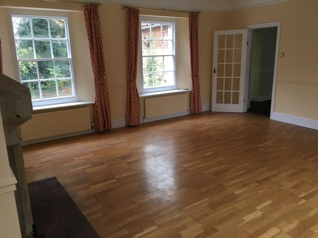
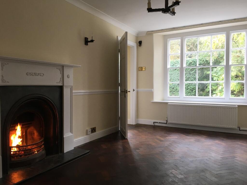
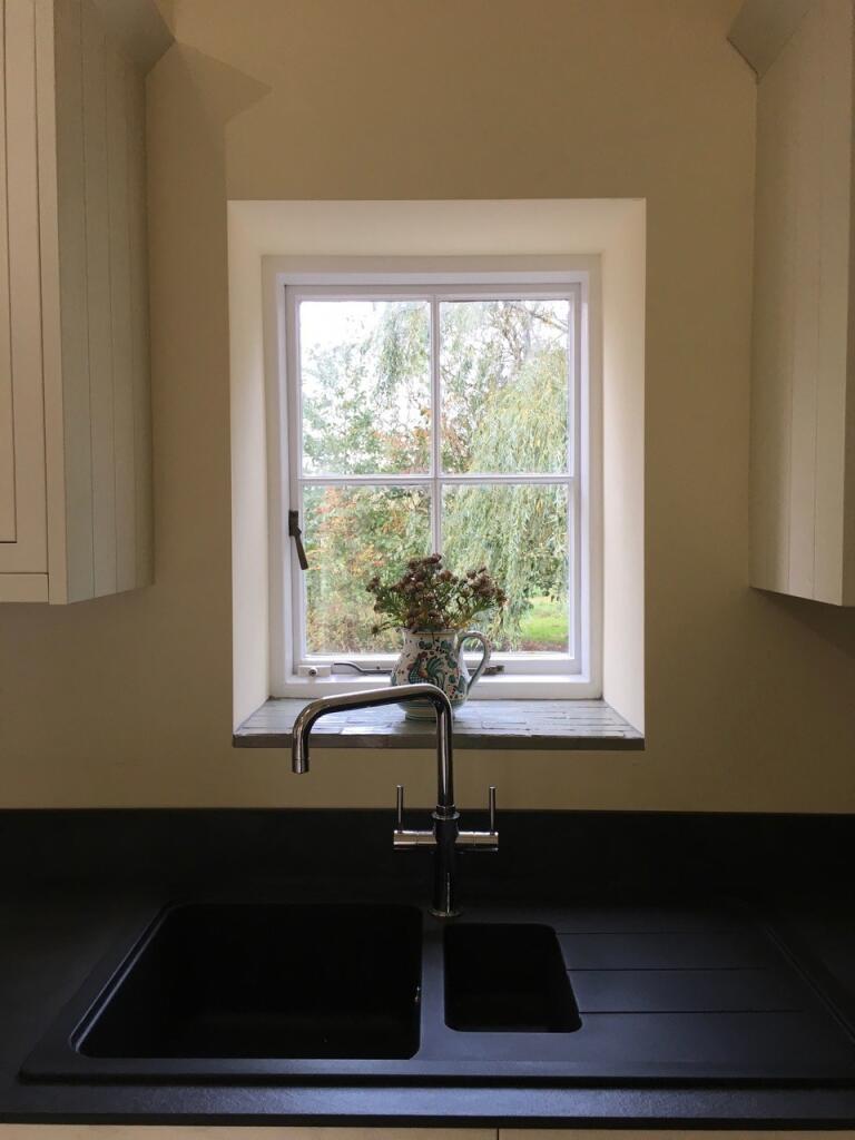
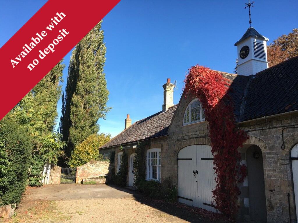
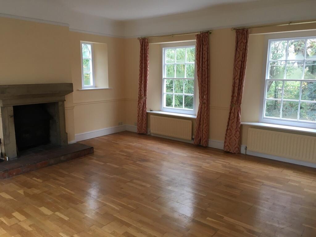
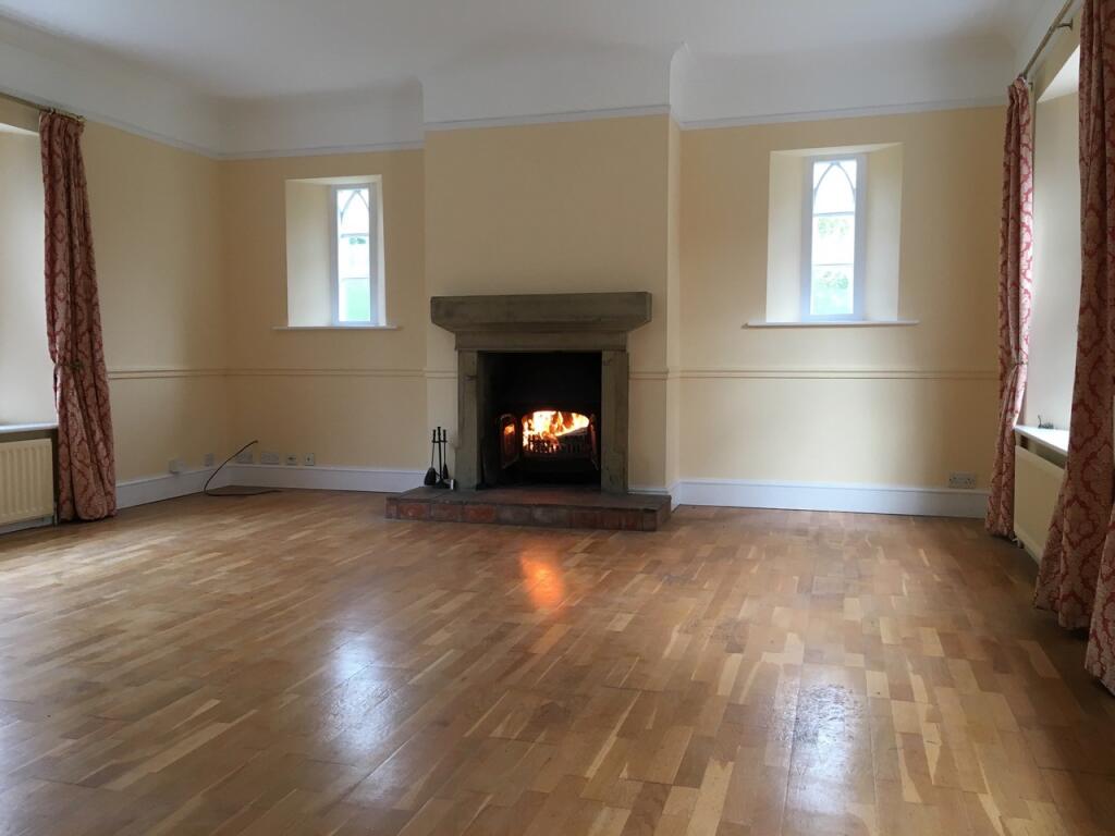
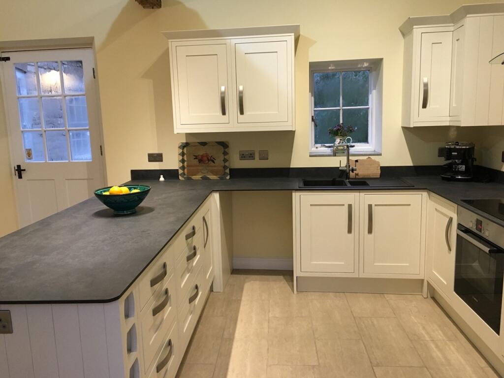
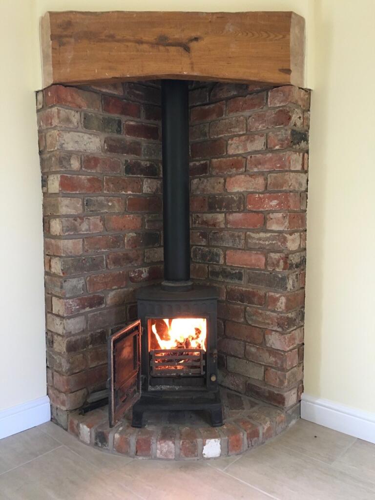
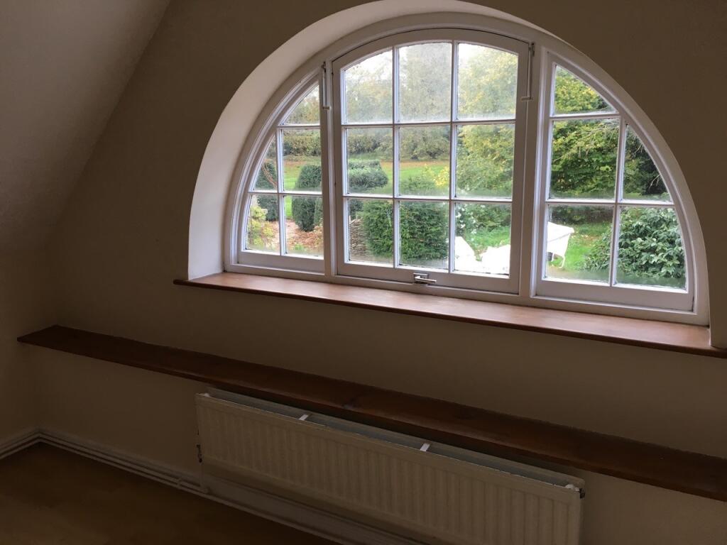
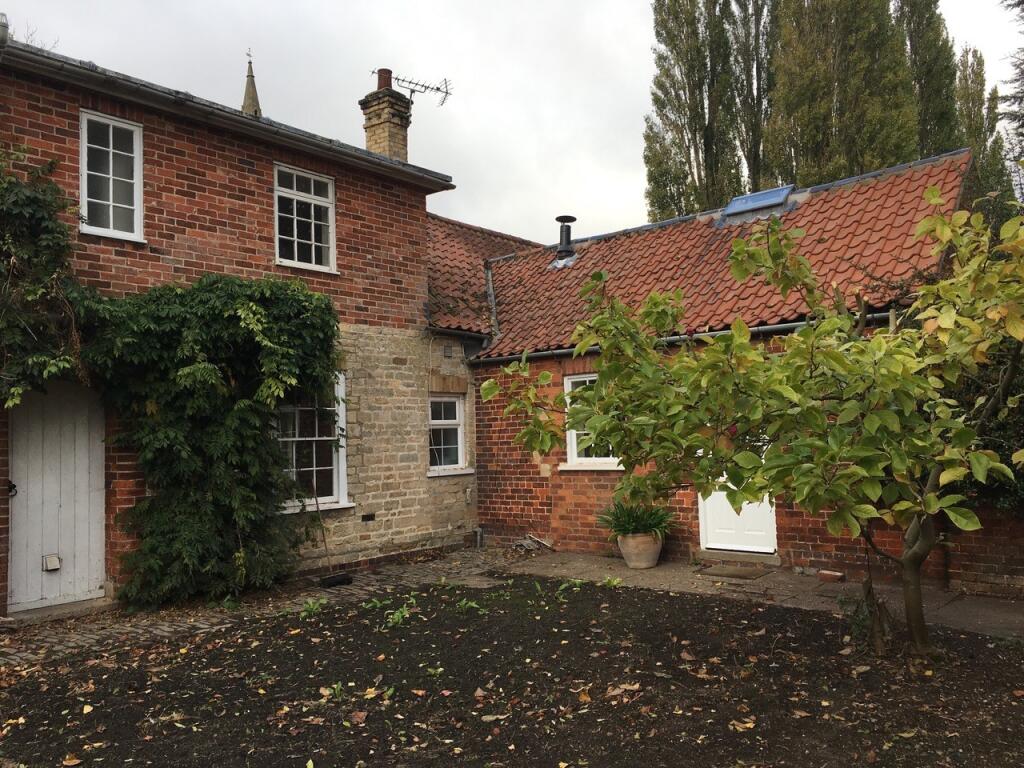
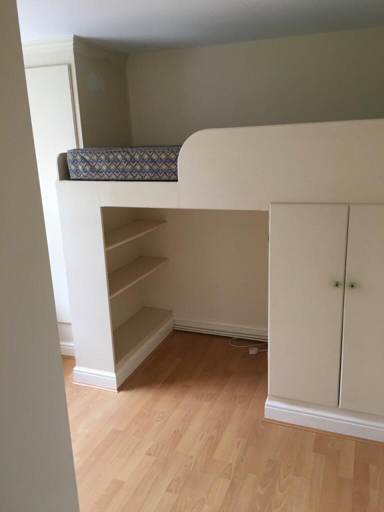
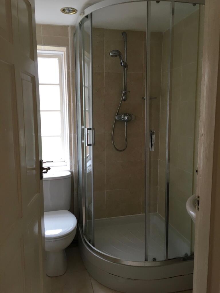
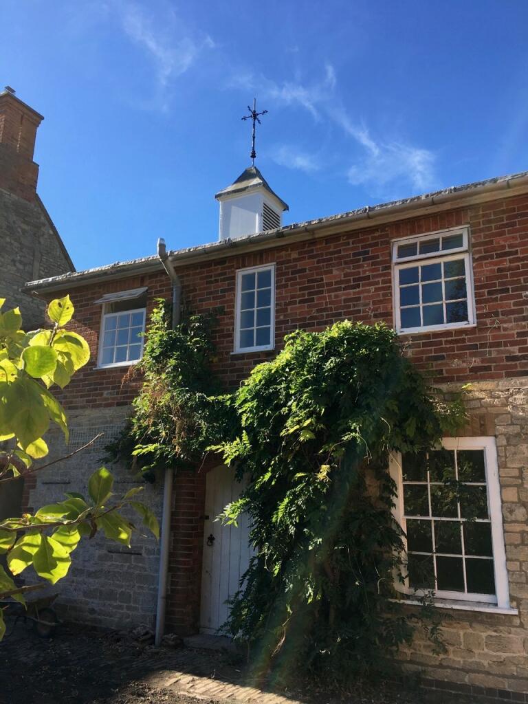
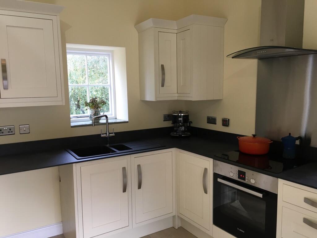
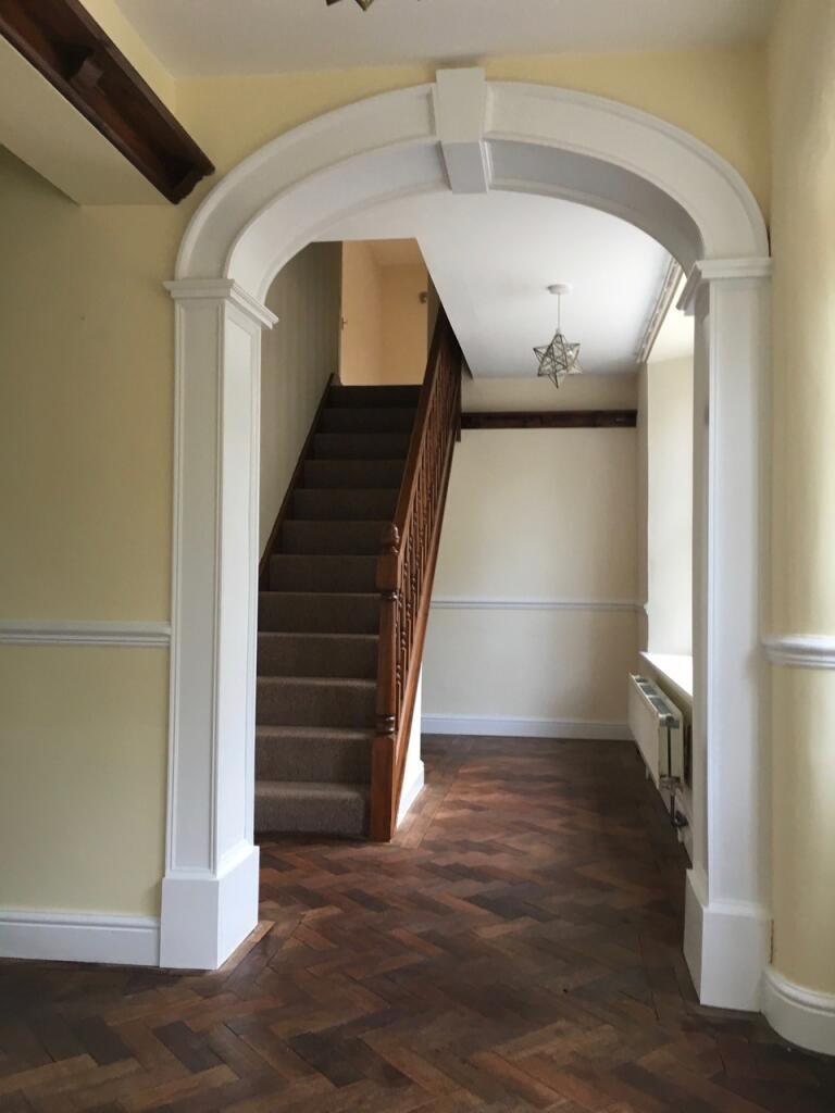
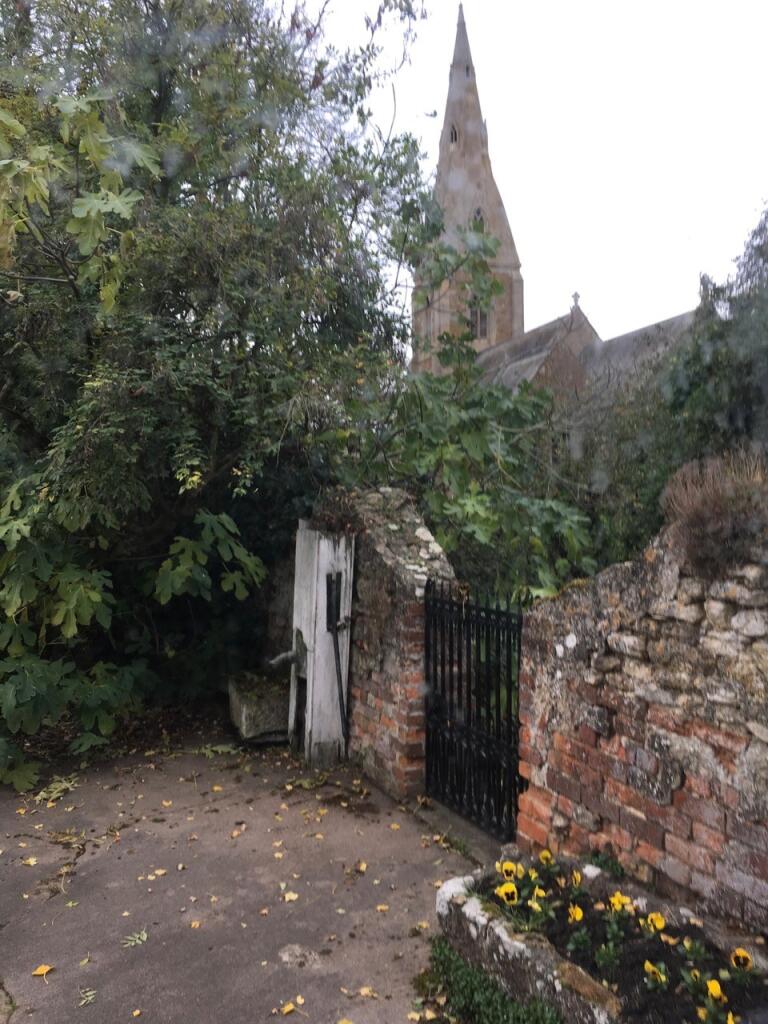
Truly Unique and Enchanting 4 Bedroom Cottage discreetly nestled within the historic grounds of Marston Hall "Additional land for grazing may be available in nearby paddocks; please enquire for details". This converted stable, complete with a charming clock tower, offers a rare opportunity to liv...
- Bedrooms
- 4
- Bathrooms
- 2
The heatmap indicates the level of crime in the area. The color of the heatmap indicates the crime severity and recency.
Metrics Year-on-Year
- Average area value
- 477,882.00 £Increased by 5.54 %
- Average area rental value
- 1,256.00 £/moIncreased by 12.34 %
- Est rental Yield
- 3.15 %Increased by 6.42 %
- Crime Rate
- 56.00 %Unchanged by 0.00 %
from 452,811.00 £
from 1,118.00 £/mo
from 2.96 %
from 56.00 %
Agent Activity
Belvoir created the listing.
Nearby Schools
| Name | Type | Ofsted | Distance |
|---|---|---|---|
| The Marston Thorold'S Charity Church Of England School | Voluntary Aided School | Good | 0.08 KM |
| The St Sebastian'S Church Of England Primary School, Great Gonerby | Voluntary Aided School | Good | 5.56 KM |
| Allington With Sedgebrook Church Of England Primary School | Voluntary Controlled School | Good | 6.31 KM |
| The Gonerby Hill Foot Church Of England Primary School | Voluntary Controlled School | Good | 6.65 KM |
| Barkston And Syston Cofe Primary School | Voluntary Aided School | Good | 6.86 KM |
Images

Nearby Streets
| Name | Average Price | Average Sqft | Distance |
|---|---|---|---|
| Mill Lane | £ 0 | 0 | 0.00 KM |
| Pinfold Lane | £ 525,000 | 0 | 0.00 KM |
| Coach Road | £ 0 | 0 | 0.00 KM |
Nearby Transport
| Name | NLC | TLC | Distance |
|---|---|---|---|
| Grantham | 6469 | GRA | 9.12 KM |
Nearby Listings
| Address | Price | Type | Score | Distance |
|---|---|---|---|---|
| School Lane, Marston, NG32 | £ 1,650 | RENT | Unknown | 0.00 KM |
| Stonepit Lane, Marston, NG32 | £ 1,400 | RENT | Unknown | 0.33 KM |
| Pinfold Lane, Marston | £ 845 | RENT | Unknown | 0.42 KM |
Nearby Properties
| Address | Price | Distance |
|---|---|---|
| Toffys End | £ 384,000 | 0.00 KM |
| Church Wood | £ 310,000 | 0.01 KM |
| Lochranza | £ 241,500 | 0.10 KM |
| 7 Bridge Street | £ 615,000 | 0.10 KM |
| Oak Trees | £ 220,000 | 0.10 KM |