
Justin Close, Brentford
By Quilliam
£ 75
Quilliam says ..
No summary available.
- Bedrooms
- 0
- Bathrooms
- 0
The heatmap indicates the level of crime in the area. The color of the heatmap indicates the crime severity and recency.
Metrics Year-on-Year
- Average area value
- 517,032.00 £Decreased by 3.11 %
- Average area rental value
- 1,845.00 £/moIncreased by 3.59 %
- Est rental Yield
- 4.28 %Increased by 7.00 %
- Crime Rate
- 3.00 %Unchanged by 0.00 %
from 533,636.00 £
from 1,781.00 £/mo
from 4.00 %
from 3.00 %
Agent Activity
Quilliam created the listing.
Nearby Schools
| Name | Type | Ofsted | Distance |
|---|---|---|---|
| St Paul'S Cofe Primary School | Voluntary Aided School | Good | 0.36 KM |
| Brentford School For Girls | Academy Converter | Good | 0.50 KM |
| Brentford Children'S Centre | Children's Centre | 0.97 KM | |
| Green Dragon Primary School | Community School | Good | 1.02 KM |
| Our Lady And St John'S Catholic Primary School | Voluntary Aided School | Good | 1.47 KM |
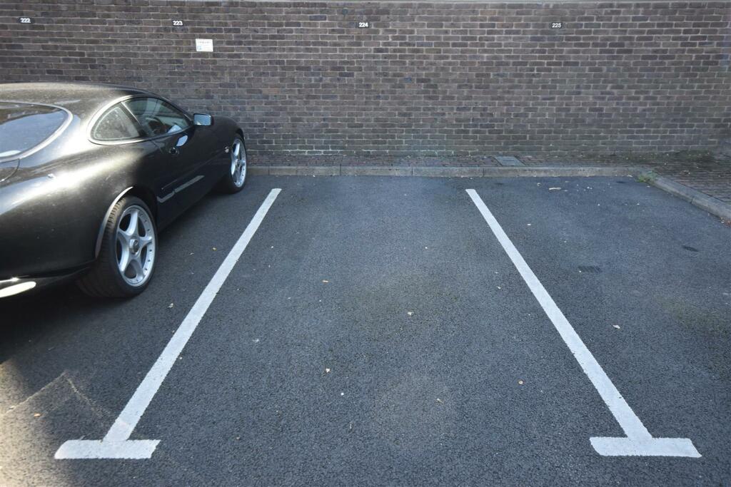
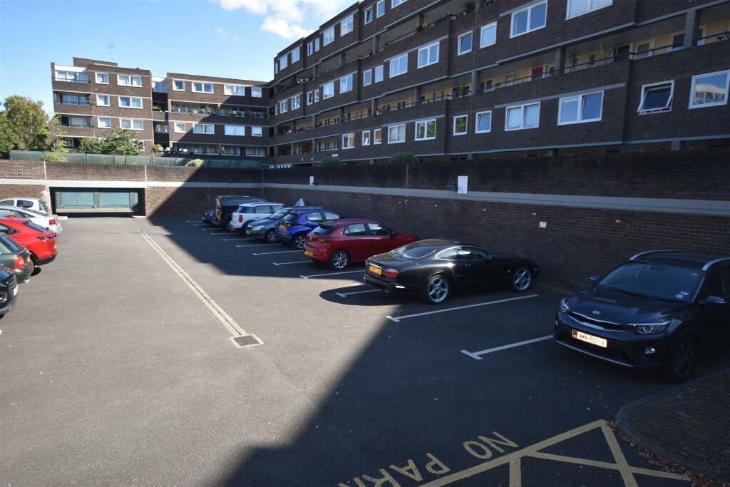
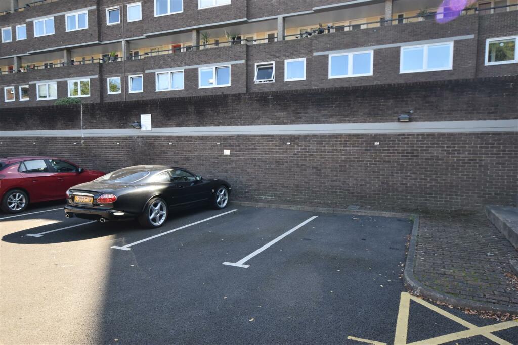
Images

Nearby Streets
| Name | Average Price | Average Sqft | Distance |
|---|---|---|---|
| Dock Road | £ 495,000 | 0 | 0.00 KM |
| High Street | £ 457,500 | 0 | 0.00 KM |
| East Bradbury Yard | £ 0 | 0 | 0.00 KM |
| West Bradbury Yard | £ 0 | 0 | 0.00 KM |
| Albany Place | £ 0 | 0 | 0.00 KM |
Nearby Transport
| Name | NLC | TLC | Distance |
|---|---|---|---|
| Brentford | 5552 | BFD | 0.92 KM |
| Kew Bridge | 5593 | KWB | 2.01 KM |
| Richmond | 5570 | RMD | 2.10 KM |
| Kew Gardens | 5594 | KWG | 2.12 KM |
| Syon Lane | 5609 | SYL | 2.35 KM |
Nearby Listings
| Address | Price | Type | Score | Distance |
|---|---|---|---|---|
| Justin Close, Brentford | £ 75 | RENT | Unknown | 0.00 KM |
| Justin Close, Nero Court, Brentford | £ 100 | RENT | Unknown | 0.04 KM |
| Justin Close, Brentford, TW8 | £ 2,500 | RENT | Unknown | 0.04 KM |
| Brentford Dock, Brentford, London, TW8 | £ 553 | RENT | Unknown | 0.06 KM |
| Nero Court, Brentford Dock | £ 1,550 | RENT | Unknown | 0.06 KM |
Nearby Properties
| Address | Price | Distance |
|---|---|---|
| 3 Justin Close | £ 470,000 | 0.10 KM |
| 36 Augustus Close | £ 685,000 | 0.16 KM |
| 35 Augustus Close | £ 705,000 | 0.16 KM |
| 9 Augustus Close | £ 460,000 | 0.16 KM |
| 22 Augustus Close | £ 715,000 | 0.16 KM |