Rufford Drive, Banks, Southport, PR9 8AX
By eXp UK
£ 205,000
Reviews
3 out of 5 stars
eXp UK says ..
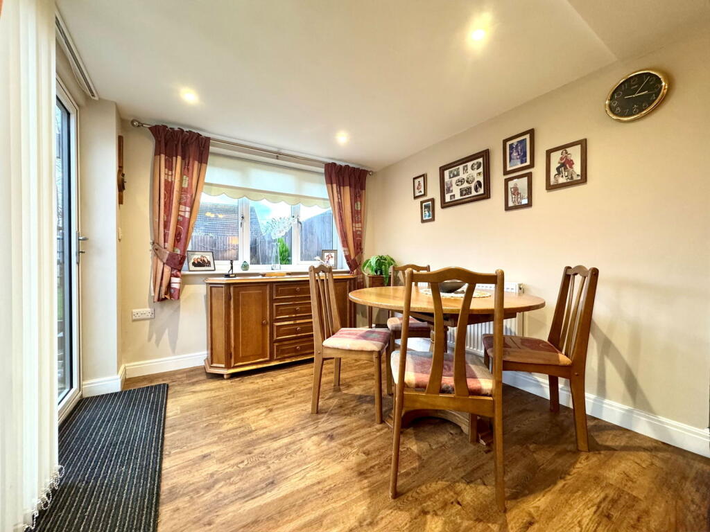
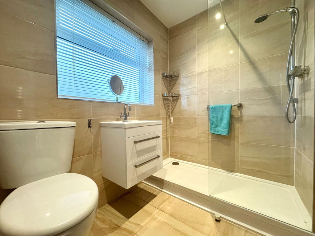
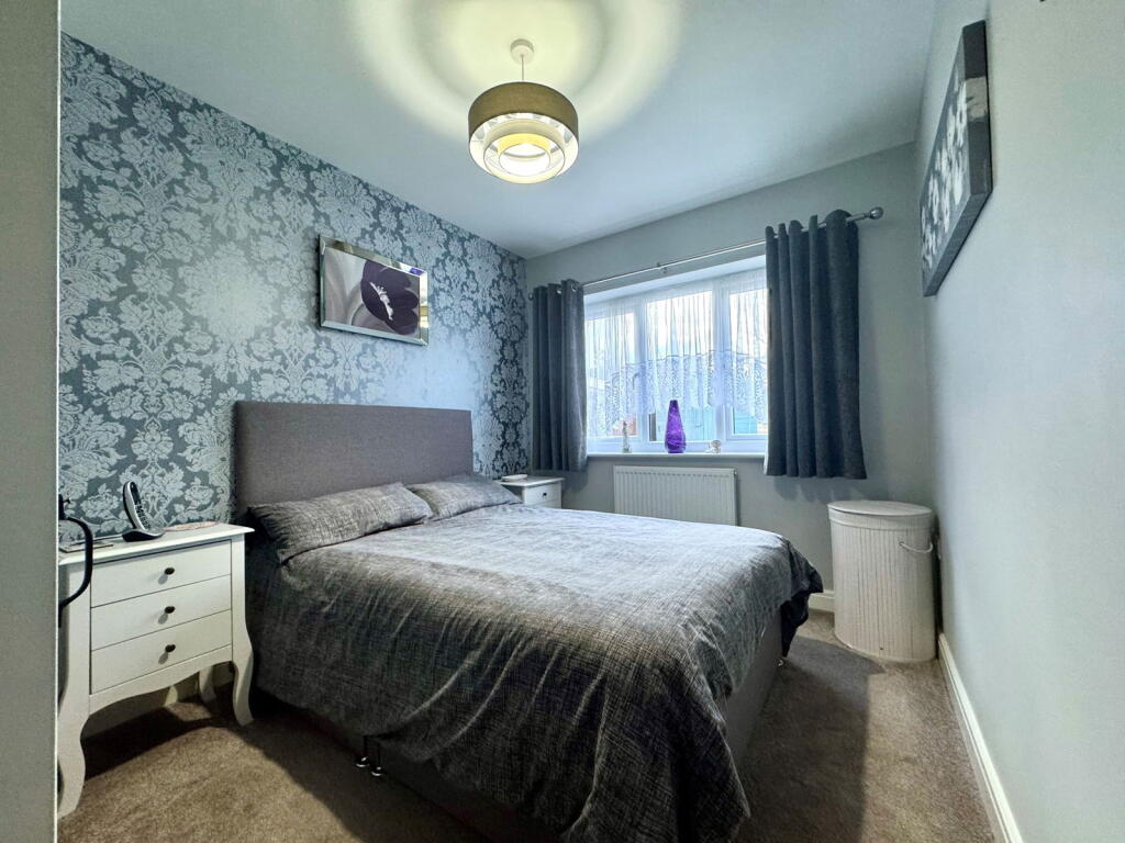
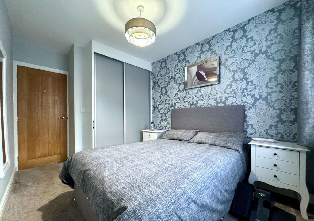
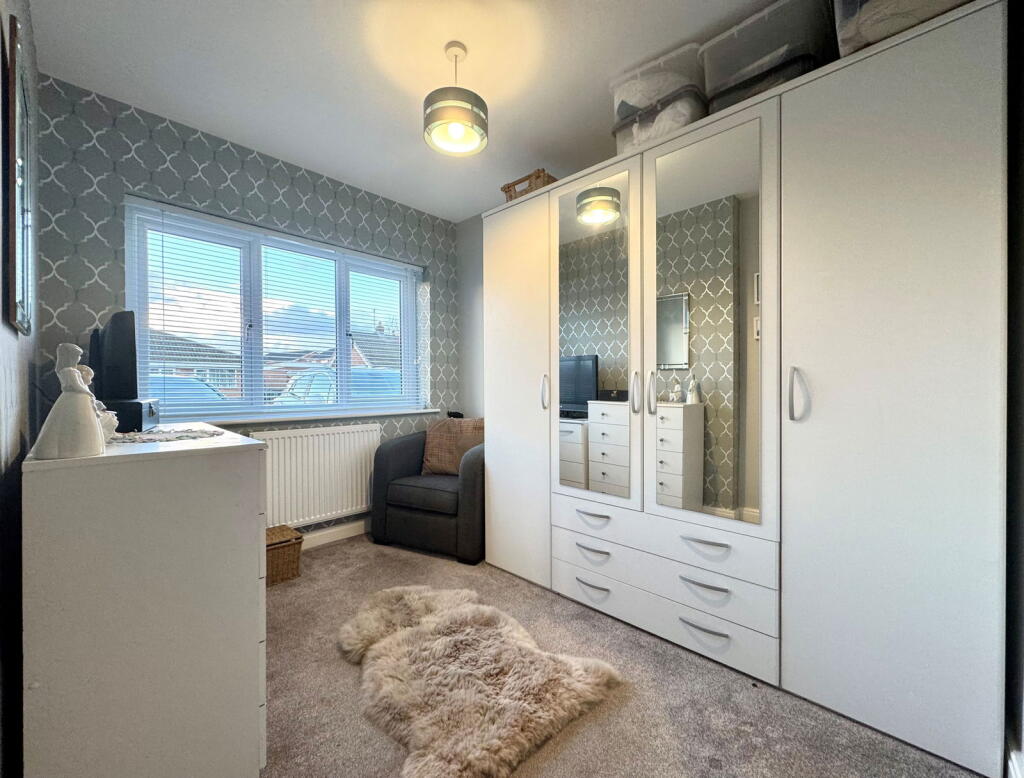
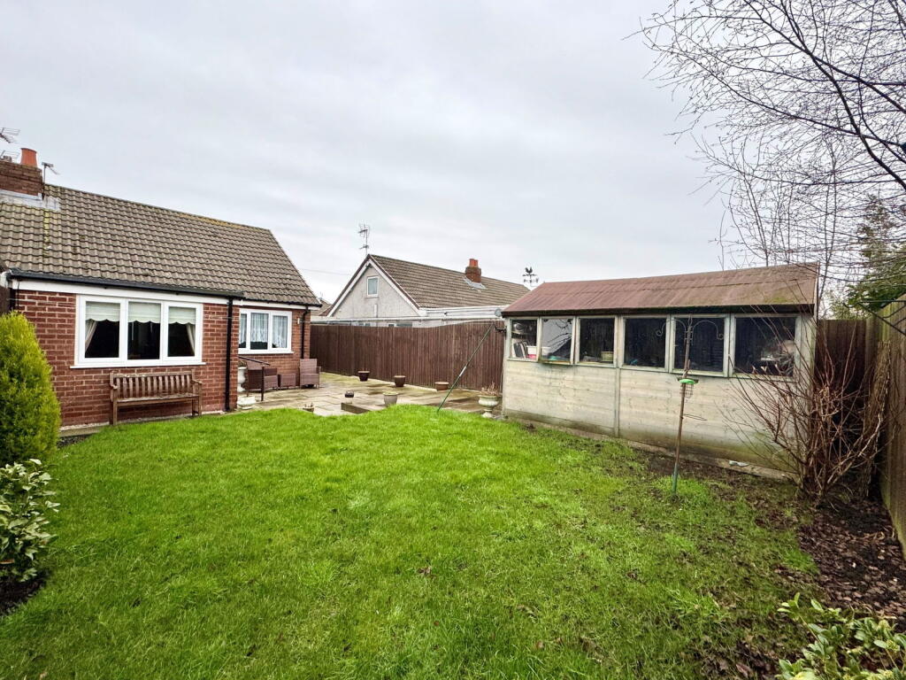
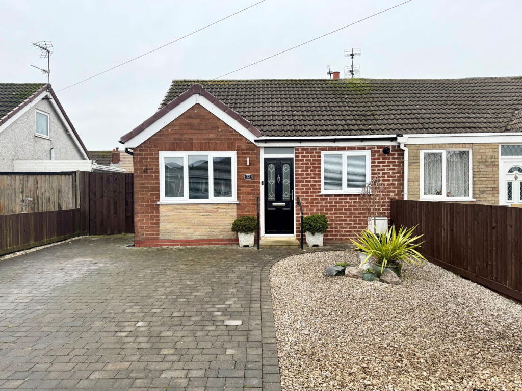
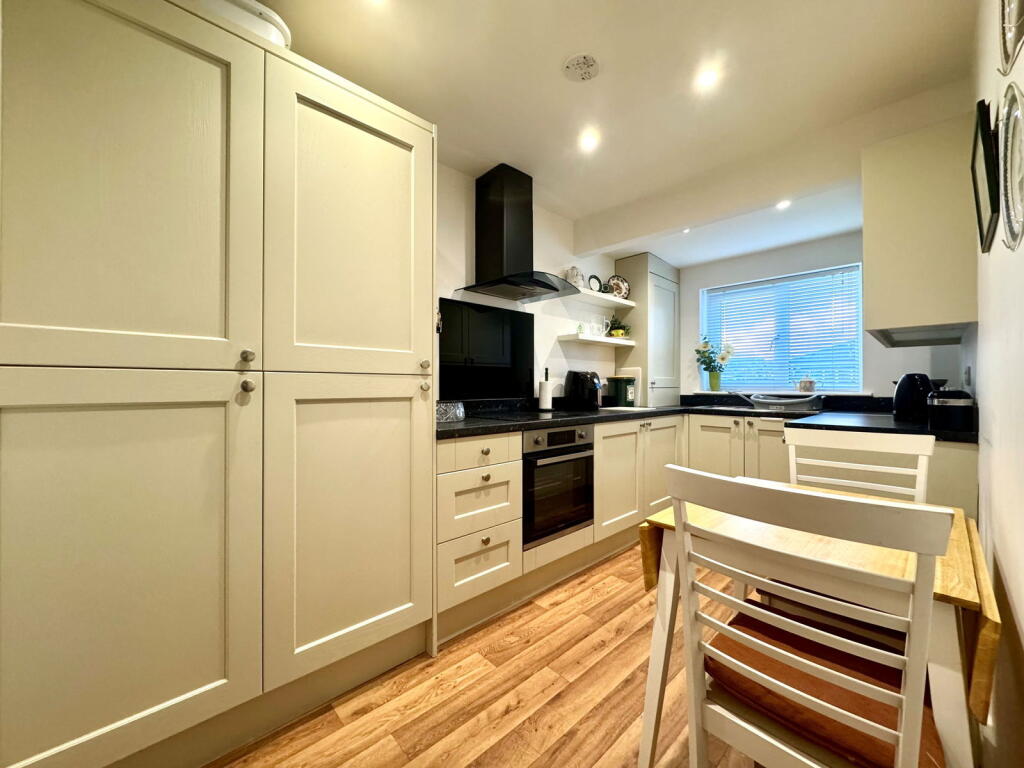
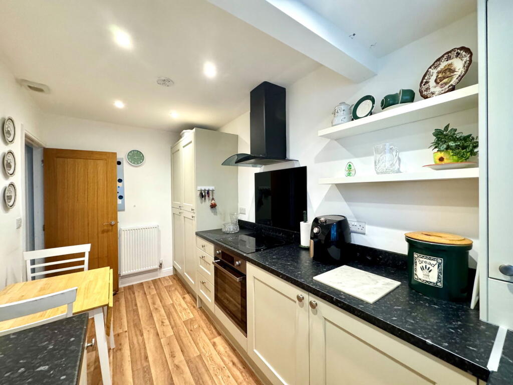
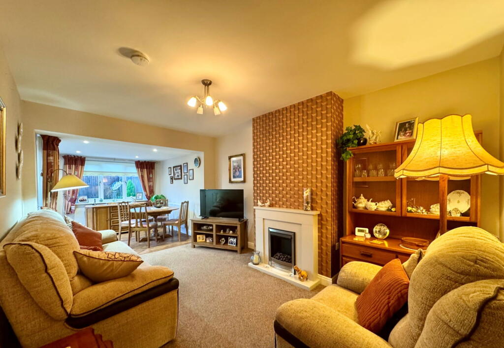
Semi-detached two bedroom true bungalow in the heart of Banks. The property briefly comprises of entrance hallway, kitchen, extended lounge diner, two bedrooms and bathroom. Externally to the front is a block paved driveway and parking for multiple vehicles. To the rear is a gated lawned garde...
Property Oracle says ..
The property is a 2-bedroom semi-detached bungalow located in Banks, Southport, with a list price of £205,000. The average house price in the area is significantly higher at £404,387, and the average price per square foot is £413. This property, at 535 sqft, is considerably smaller than the average. The property appears to be in good condition based on the provided images. The kitchen and bathroom have been recently updated, and the bedrooms are presented well. There is no obvious evidence of significant repair or renovation needs. The property benefits from a garden with a shed, adding to its appeal. While the property’s size is below average for the area, its condition and the inclusion of a garden are positive factors. The location, near Banks St Stephen’S Cofe School and other amenities, is also favorable. However, the list price is considerably lower than the average for the area, suggesting it might be priced competitively, although further analysis of comparable properties and recent sales data would be beneficial to confirm this. The lack of plot size data makes a definitive assessment of land size difficult. The proximity to good schools and transport links enhances its appeal.
Therefore, we give this property 7 / 10. *Disclaimer: This is our option and does constitute a recommendation or financial advice. Do your own research. *
- Price
- 7
- Condition
- 8
- Location
- 7
- Land
- 6
- Bedrooms
- 2
- Bathrooms
- 1
- Sqft (est)
- 535.00
The heatmap indicates the level of crime in the area. The color of the heatmap indicates the crime severity and recency.
Metrics Year-on-Year
- Average area value
- 382,533.00 £Increased by 3.77 %
- Est sale value
- 196,880.00 £Increased by 5.44 %
- Average area rental value
- 1,090.00 £/moDecreased by 17.67 %
- Est letting value
- 535.00 £/moUnchanged by 0.00 %
- Est rental Yield
- 3.42 %Decreased by 20.65 %
- Crime Rate
- 3.00 %Unchanged by 0.00 %
Agent Activity
eXp UK created the listing.
Nearby Schools
| Name | Type | Ofsted | Distance |
|---|---|---|---|
| Banks St Stephen'S Cofe School | Voluntary Controlled School | Good | 1.51 KM |
| St John'S Church Of England Primary School | Voluntary Controlled School | Good | 1.85 KM |
| Banks Methodist School | Voluntary Controlled School | Good | 1.86 KM |
| Peterhouse School | Non-maintained Special School | Outstanding | 3.56 KM |
| Presfield High School And Specialist College | Community Special School | Good | 3.61 KM |
Images

Nearby Streets
| Name | Average Price | Average Sqft | Distance |
|---|---|---|---|
| Southport New Road | £ 248,120 | 0 | 0.00 KM |
| Old School Close | £ 0 | 0 | 0.00 KM |
| Hesketh Avenue | £ 185,000 | 0 | 0.00 KM |
| Grange Close | £ 108,000 | 0 | 0.00 KM |
Nearby Transport
| Name | NLC | TLC | Distance |
|---|---|---|---|
| Meols Cop | 2357 | MEC | 5.94 KM |
| Bescar Lane | 2351 | BES | 6.11 KM |
| Lytham | 2670 | LTM | 7.89 KM |
| Southport | 2262 | SOP | 8.53 KM |
| Moss Side | 2675 | MOS | 9.95 KM |
Nearby Listings
| Address | Price | Type | Score | Distance |
|---|---|---|---|---|
| Rufford Drive, Banks, Southport, PR9 8AX | £ 205,000 | BUY | 7 / 10 | 0.00 KM |
| Lancaster Drive, Southport, Lancashire, PR9 | £ 200,000 | BUY | 8 / 10 | 0.19 KM |
| Lancaster Drive, Southport | £ 200,000 | BUY | Unknown | 0.19 KM |
| Abrams Fold, Southport | £ 220,000 | BUY | 7 / 10 | 0.23 KM |
| Lancaster Drive, Southport, Lancashire, PR9 8AS | £ 200,000 | BUY | 5 / 10 | 0.27 KM |
Nearby Properties
| Address | Price | Distance |
|---|---|---|
| 3 Rufford Drive | £ 115,000 | 0.01 KM |
| 23 Rufford Drive | £ 145,000 | 0.01 KM |
| 26 Rufford Drive | £ 130,000 | 0.01 KM |
| 10 Rufford Drive | £ 171,500 | 0.01 KM |
| 15 Rufford Drive | £ 155,500 | 0.01 KM |