PL
Anfield Road, Newcastle Upon Tyne, NE3
By Places for People
£ 170
Places for People says ..
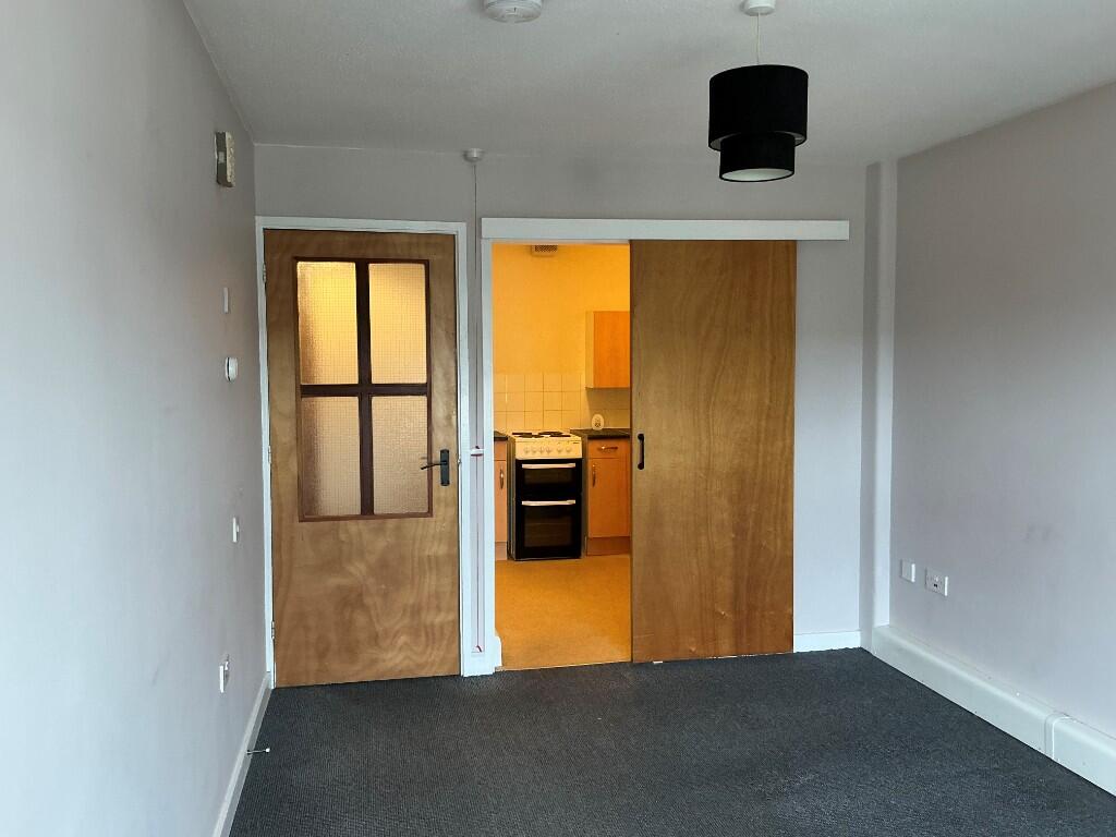
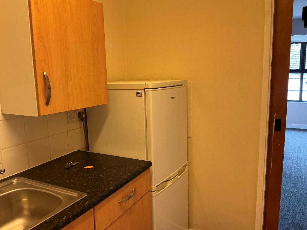
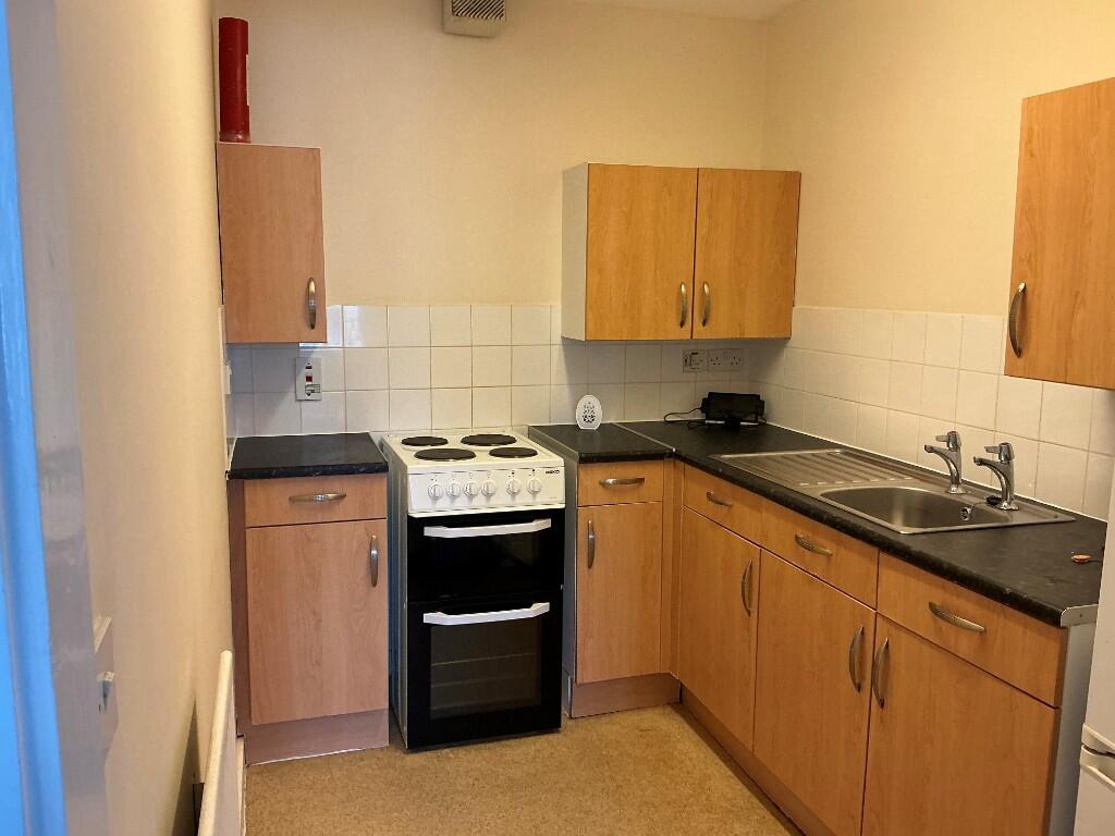
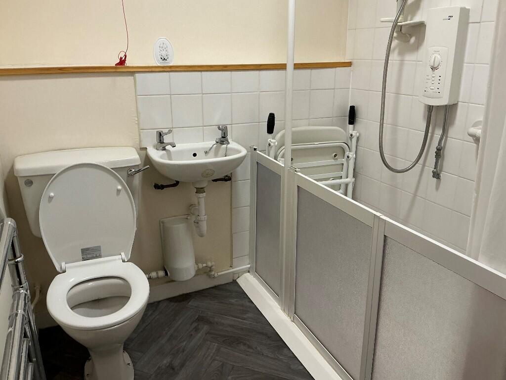
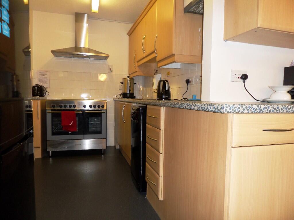
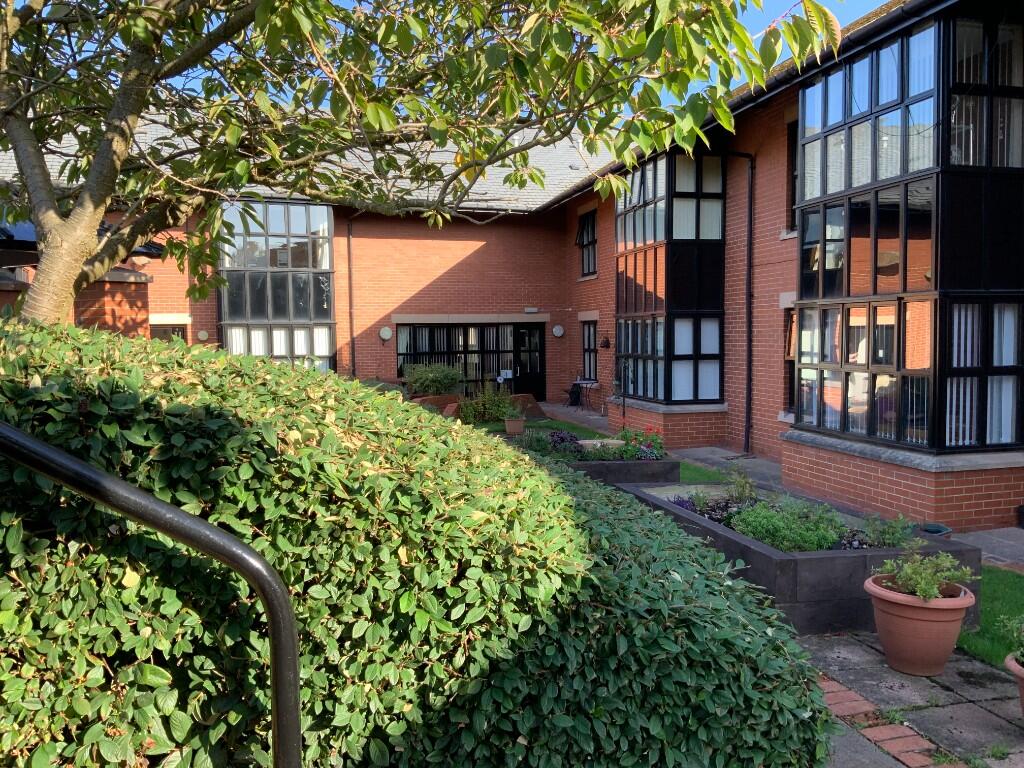
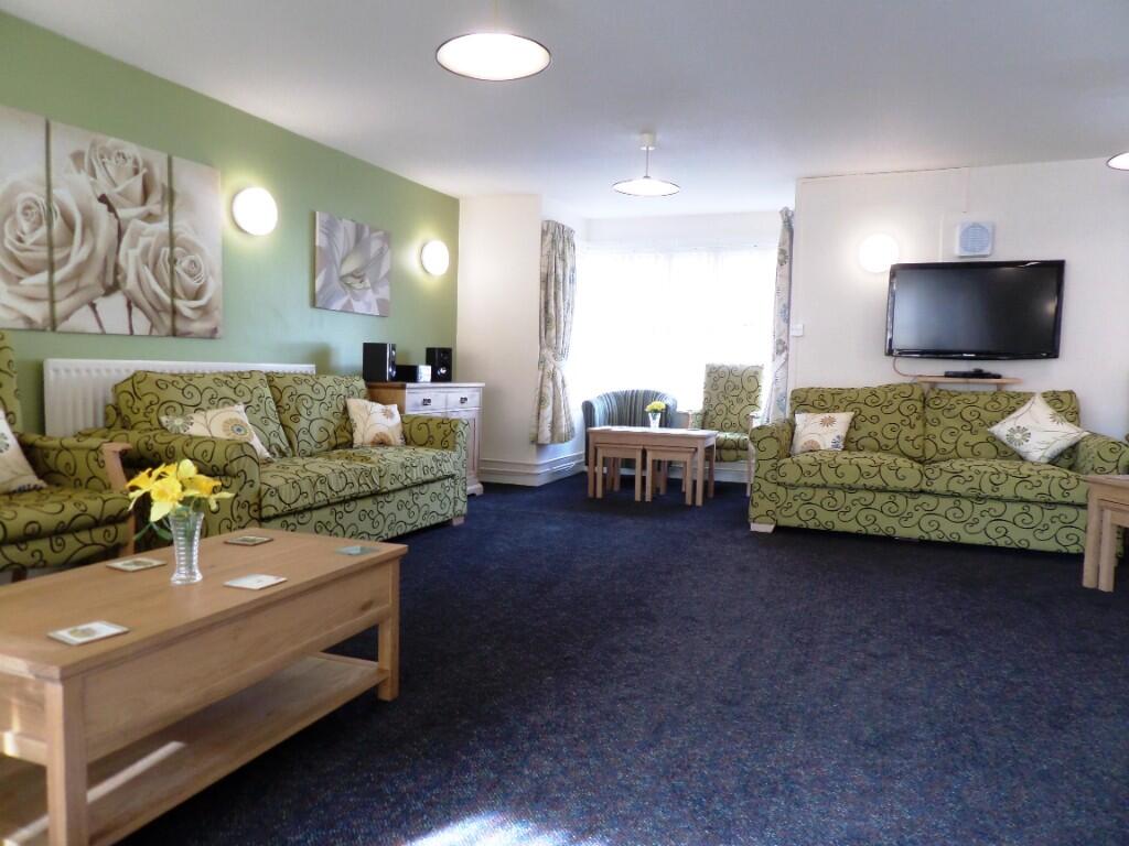
First Floor Flat for Over 55's with lift access and level access shower.
- Bedrooms
- 1
- Bathrooms
- 1
The heatmap indicates the level of crime in the area. The color of the heatmap indicates the crime severity and recency.
Metrics Year-on-Year
- Average area value
- 200,667.00 £Decreased by 60.33 %
- Average area rental value
- 1,454.00 £/moDecreased by 8.95 %
- Est rental Yield
- 8.70 %Increased by 129.55 %
- Crime Rate
- 11.00 %Unchanged by 0.00 %
from 505,808.00 £
from 1,597.00 £/mo
from 3.79 %
from 11.00 %
Agent Activity
Places for People created the listing.
Nearby Schools
| Name | Type | Ofsted | Distance |
|---|---|---|---|
| Sure Start Gosforth & Parklands Children'S Centre | Children's Centre Linked Site | 0.37 KM | |
| Sure Start North Moor And Northern Villages Children'S Centre | Children's Centre Linked Site | 0.37 KM | |
| Mountfield Primary School | Academy Converter | Good | 0.52 KM |
| Newcastle Bridges School | Academy Alternative Provision Converter | 0.54 KM | |
| Kenton School | Academy Converter | Requires improvement | 0.54 KM |
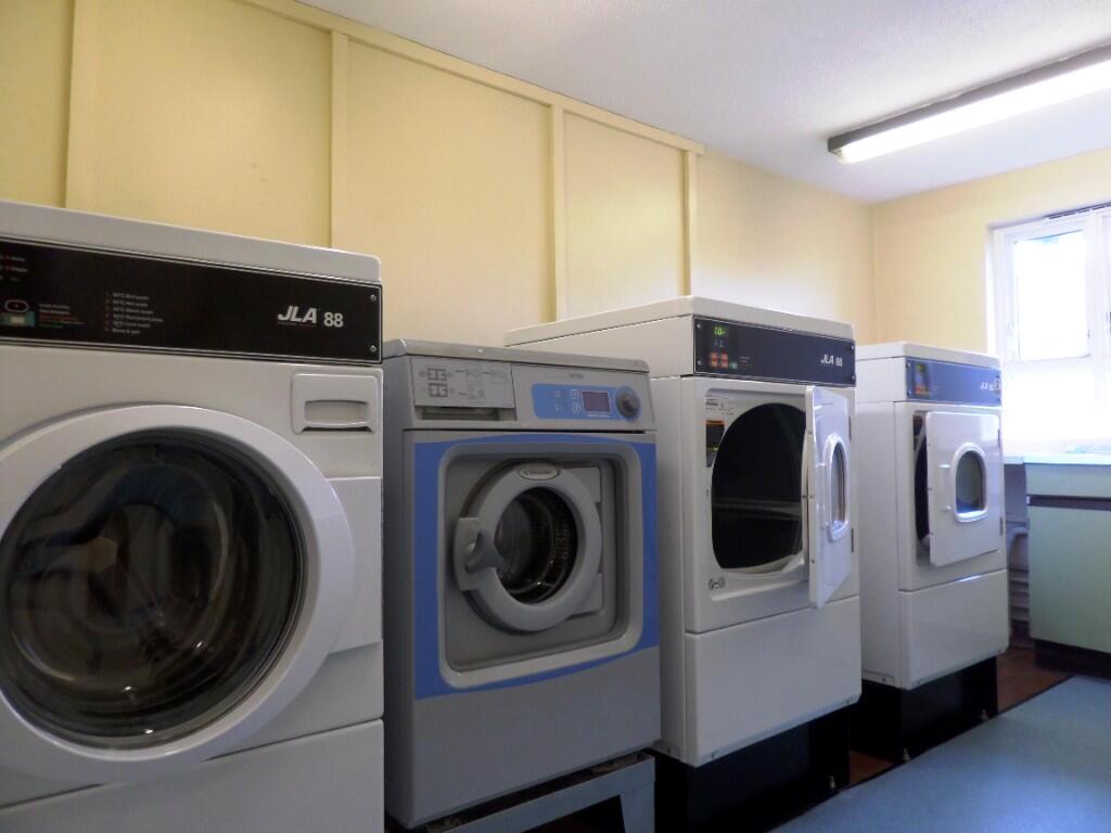
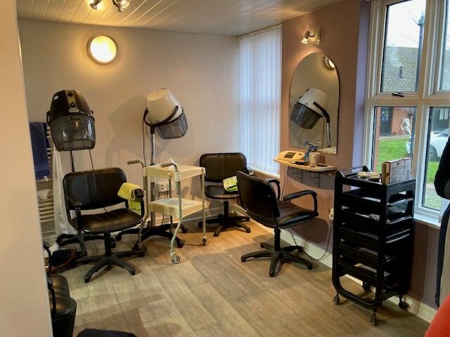
Images


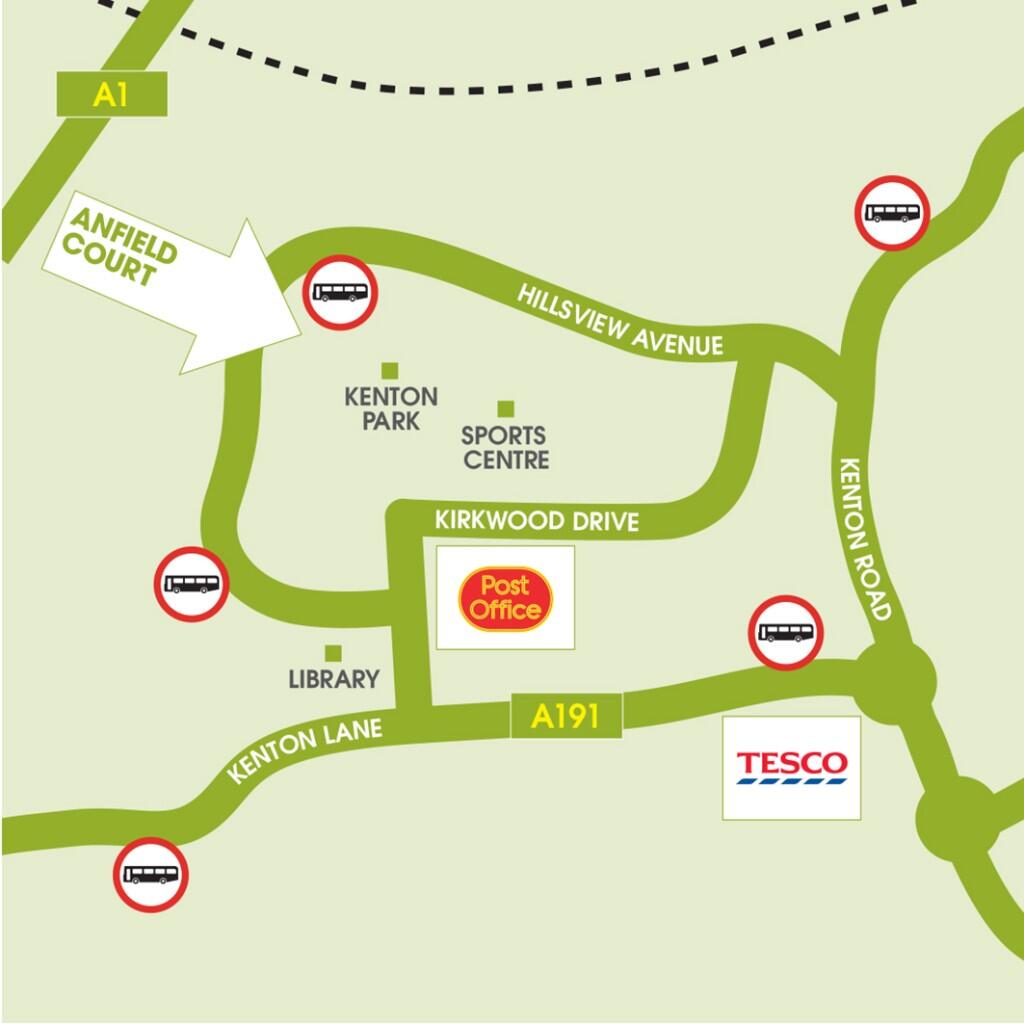

Nearby Streets
| Name | Average Price | Average Sqft | Distance |
|---|---|---|---|
| Sherringham Avenue | £ 0 | 0 | 0.00 KM |
| Warrington Road | £ 290,000 | 0 | 0.00 KM |
| Banbury Road | £ 157,000 | 0 | 0.00 KM |
| Crantock Road | £ 0 | 0 | 0.00 KM |
| Moor Lane | £ 0 | 0 | 0.00 KM |
Nearby Transport
| Name | NLC | TLC | Distance |
|---|---|---|---|
| Metrocentre | 7725 | MCE | 5.71 KM |
| Newcastle | 7728 | NCL | 6.11 KM |
| Dunston | 7744 | DOT | 6.69 KM |
| Manors | 7603 | MAS | 6.82 KM |
| Blaydon | 7503 | BLO | 8.01 KM |
Nearby Listings
| Address | Price | Type | Score | Distance |
|---|---|---|---|---|
| Anfield Road, Newcastle Upon Tyne, NE3 | £ 182 | RENT | Unknown | 0.00 KM |
| Anfield Road, Newcastle Upon Tyne, NE3 | £ 170 | RENT | Unknown | 0.00 KM |
| Columbia Grange, Kenton | £ 675 | RENT | Unknown | 0.10 KM |
| Newlyn Road, Kenton, Newcastle upon Tyne, Tyne and Wear, NE3 3JX | £ 1,200 | RENT | Unknown | 0.28 KM |
| Madron Close, Kenton, Newcastle Upon Tyne, NE3 | £ 850 | RENT | Unknown | 0.34 KM |
Nearby Properties
| Address | Price | Distance |
|---|---|---|
| 12 Anfield Road | £ 99,000 | 0.00 KM |
| 6 Laith Road | £ 99,950 | 0.04 KM |
| 4 Laith Road | £ 107,500 | 0.04 KM |
| 2 Laith Road | £ 105,000 | 0.04 KM |
| 14 Anfield Road | £ 111,000 | 0.05 KM |