EX
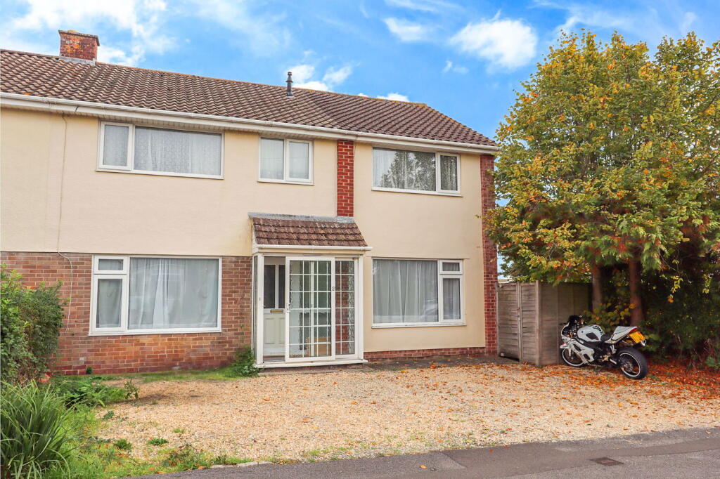
Rochdale Avenue, Calne
By eXp UK
£ 315,000
eXp UK says ..
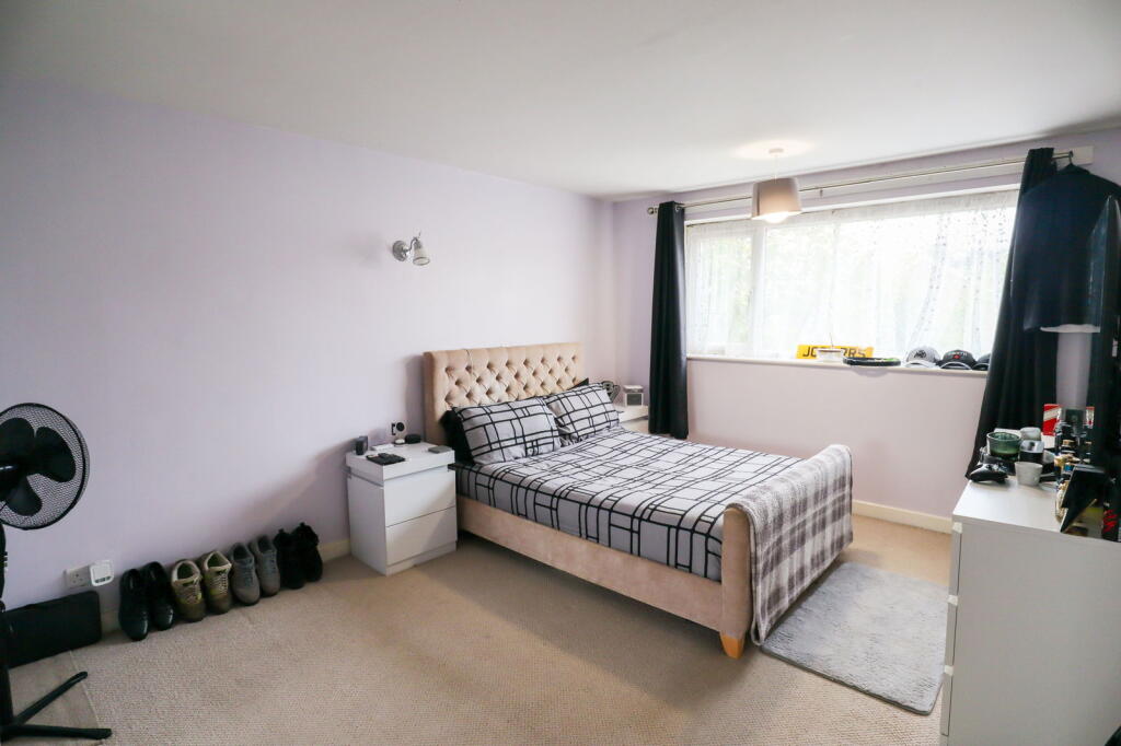
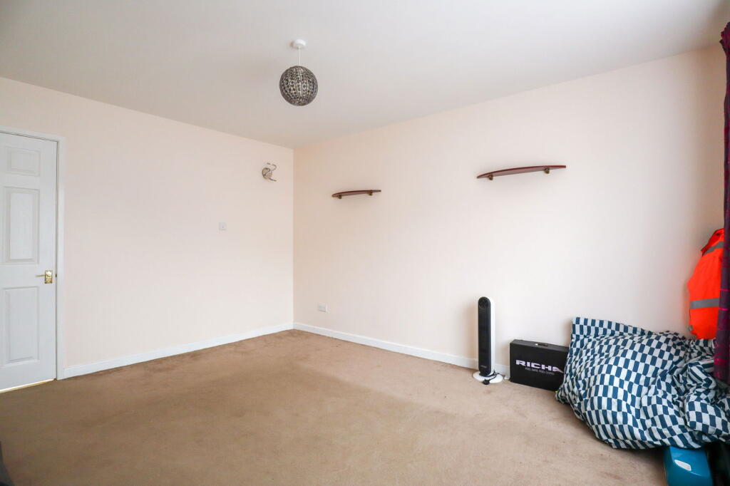
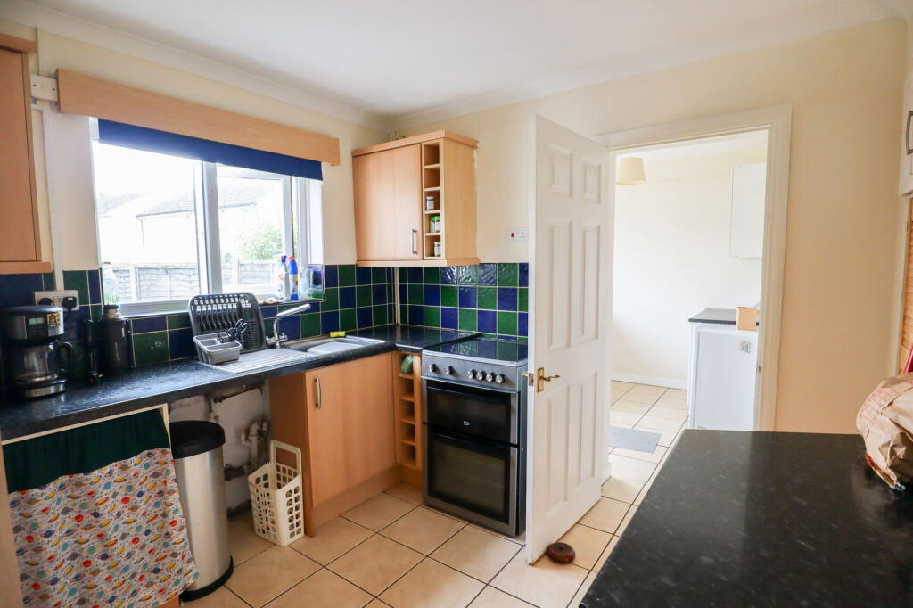
NO CHAIN! A substatial four bedroom semi- detached home placed moments from local amenities and multiple schools. Internally, the first floor of the home features a family bathroom and four bedrooms with the master benefiting from an ensuite. On the ground floor, there is an entrance hall, a u...
- Bedrooms
- 4
- Bathrooms
- 2
The heatmap indicates the level of crime in the area. The color of the heatmap indicates the crime severity and recency.
Metrics Year-on-Year
- Average area value
- 299,076.00 £Increased by 19.14 %
- Average area rental value
- 1,140.00 £/moIncreased by 21.54 %
- Est rental Yield
- 4.57 %Increased by 2.01 %
- Crime Rate
- 13.00 %Unchanged by 0.00 %
from 251,020.00 £
from 938.00 £/mo
from 4.48 %
from 13.00 %
Agent Activity
eXp UK created the listing.
Nearby Schools
| Name | Type | Ofsted | Distance |
|---|---|---|---|
| Saint Edmund'S Roman Catholic Primary School | Academy Converter | Requires improvement | 0.32 KM |
| Marden Vale Cofe Academy | Academy Sponsor Led | Requires improvement | 0.36 KM |
| St Mary'S School (Snr) And St Margaret'S School (Prep) | Other Independent School | 0.92 KM | |
| Fynamore Primary School | Community School | Good | 1.16 KM |
| Calne Community Children'S Centre | Children's Centre | 1.26 KM |
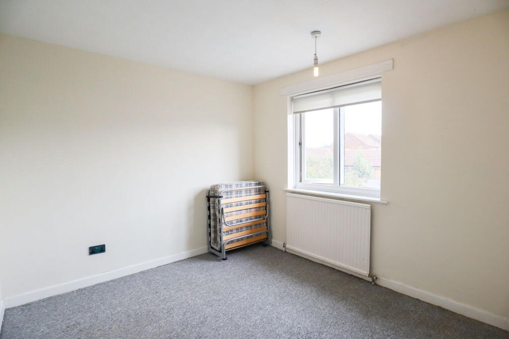
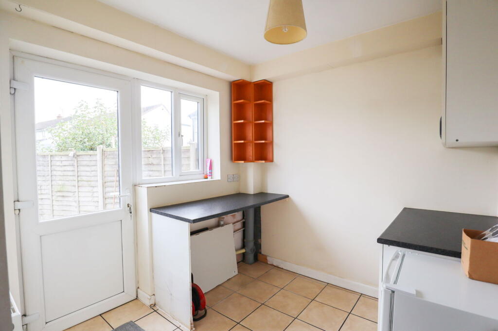
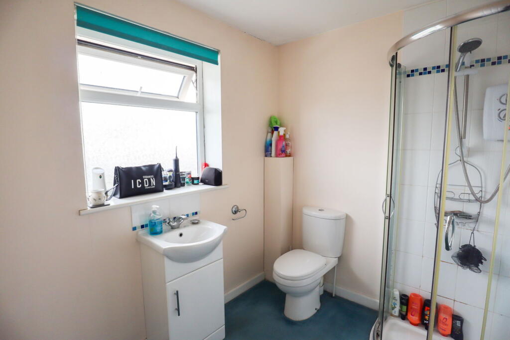
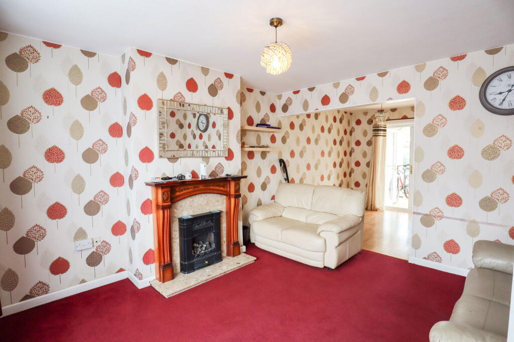
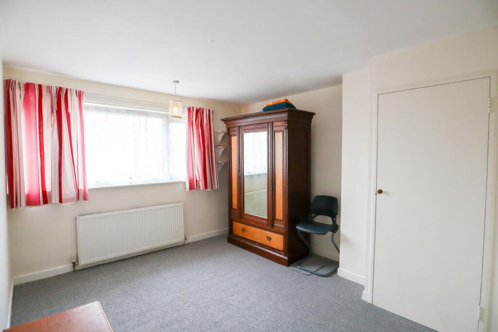
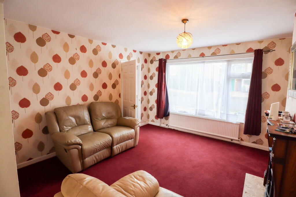
Images


Nearby Streets
| Name | Average Price | Average Sqft | Distance |
|---|---|---|---|
| Campion Close | £ 251,627 | 0 | 0.00 KM |
| Primrose Close | £ 0 | 0 | 0.00 KM |
| Foxglove Way | £ 270,500 | 0 | 0.00 KM |
| Hungerford Road | £ 343,000 | 0 | 0.00 KM |
| Merlin Road | £ 382,500 | 0 | 0.00 KM |
Nearby Listings
| Address | Price | Type | Score | Distance |
|---|---|---|---|---|
| Rochdale Avenue, Calne | £ 315,000 | BUY | Unknown | 0.00 KM |
| Rochdale Avenue, Calne | £ 240,000 | BUY | 5 / 10 | 0.00 KM |
| Rochdale Avenue, Calne | £ 240,000 | BUY | 6 / 10 | 0.02 KM |
| Swaddon Street, Calne, SN11 9AR | £ 285,000 | BUY | 6 / 10 | 0.06 KM |
| Swaddons Mill, Horsebrook, Calne | £ 299,000 | BUY | 6 / 10 | 0.11 KM |
Nearby Properties
| Address | Price | Distance |
|---|---|---|
| 7 Rochdale Avenue | £ 211,000 | 0.00 KM |
| 16 Swaddon Street | £ 200,000 | 0.06 KM |
| 59 Hungerford Road | £ 138,000 | 0.10 KM |
| 57 Hungerford Road | £ 56,000 | 0.10 KM |
| 2 Swaddon Street | £ 142,000 | 0.12 KM |