HA
High Street, ROMFORD
By haart
£ 1,550
haart says ..
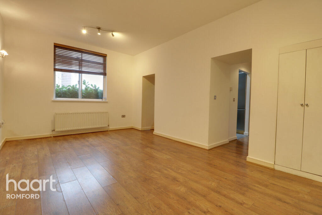
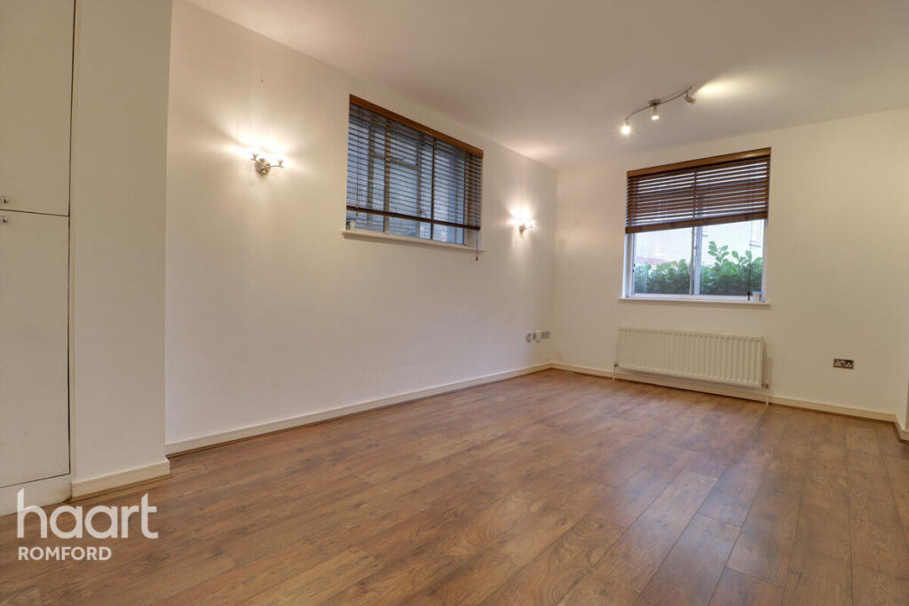
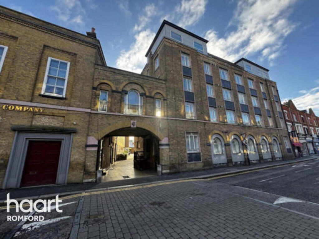
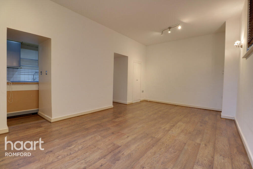
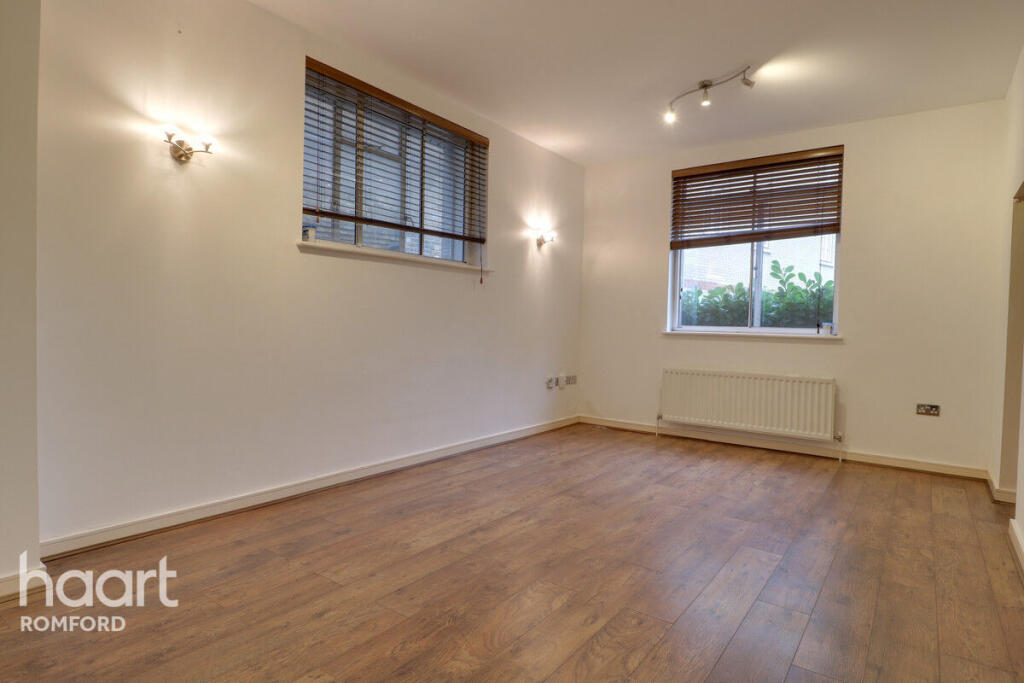
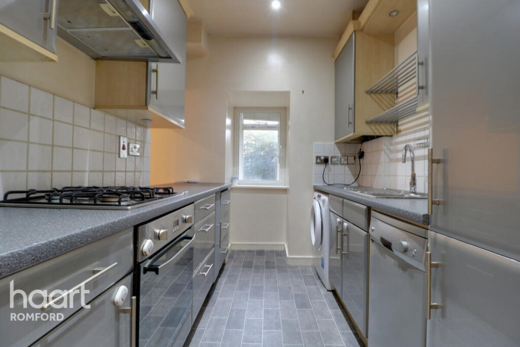
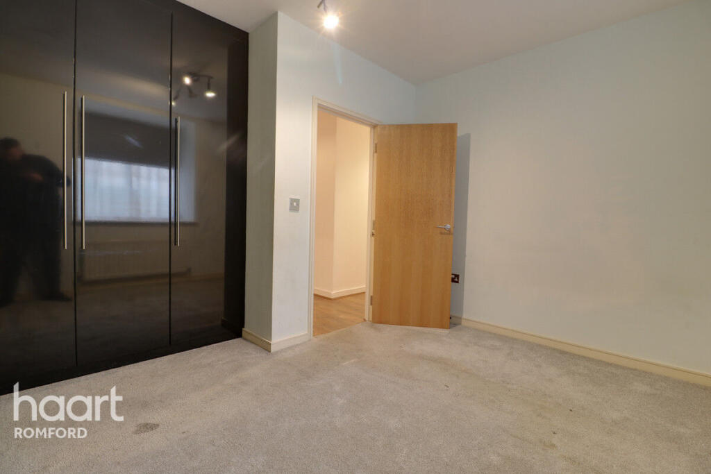
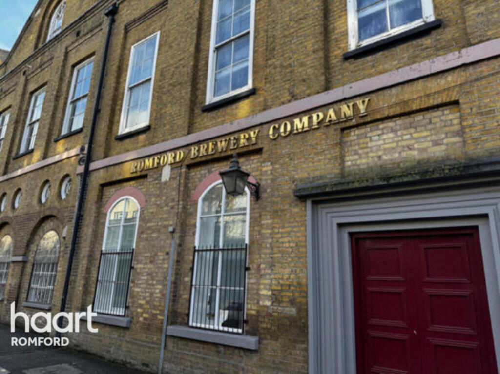
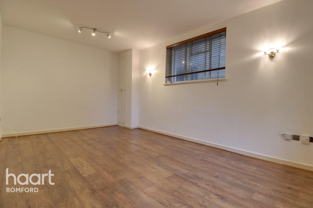
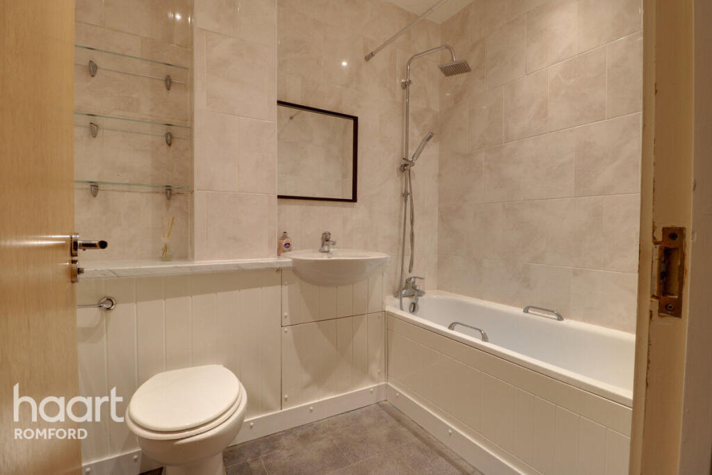
**NO DEPOSIT OPTION AVAILABLE** Two bedroom ground floor apartment within a Grade II listed building
- Bedrooms
- 2
- Bathrooms
- 1
The heatmap indicates the level of crime in the area. The color of the heatmap indicates the crime severity and recency.
Metrics Year-on-Year
- Average area value
- 320,556.00 £Decreased by 21.24 %
- Average area rental value
- 1,673.00 £/moDecreased by 4.18 %
- Est rental Yield
- 6.26 %Increased by 21.55 %
- Crime Rate
- 38.00 %Unchanged by 0.00 %
from 407,014.00 £
from 1,746.00 £/mo
from 5.15 %
from 38.00 %
Agent Activity
haart created the listing.
Nearby Schools
| Name | Type | Ofsted | Distance |
|---|---|---|---|
| St Edward'S Church Of England Voluntary Aided Primary School | Voluntary Aided School | Good | 0.61 KM |
| The Mawney Foundation School | Foundation School | Good | 0.68 KM |
| St Peter'S Catholic Primary School | Voluntary Aided School | Outstanding | 0.71 KM |
| Concordia Academy | Free Schools | Outstanding | 0.77 KM |
| Bep Academy | Other Independent School | Good | 0.89 KM |
Images


Nearby Streets
| Name | Average Price | Average Sqft | Distance |
|---|---|---|---|
| Brewery Walk | £ 0 | 0 | 0.00 KM |
| The Brewery Walk | £ 275,000 | 0 | 0.00 KM |
| The Mews | £ 275,000 | 0 | 0.00 KM |
| Ducking Stool Court | £ 240,000 | 0 | 0.00 KM |
| A118 | £ 0 | 0 | 0.00 KM |
Nearby Transport
| Name | NLC | TLC | Distance |
|---|---|---|---|
| Romford | 6886 | RMF | 0.54 KM |
| Gidea Park | 6877 | GDP | 2.90 KM |
| Emerson Park | 7473 | EMP | 4.57 KM |
| Chadwell Heath | 6874 | CTH | 5.76 KM |
| Harold Wood | 6879 | HRO | 6.09 KM |
Nearby Listings
| Address | Price | Type | Score | Distance |
|---|---|---|---|---|
| High Street, ROMFORD | £ 1,550 | RENT | Unknown | 0.00 KM |
| High Street, Romford | £ 1,350 | RENT | Unknown | 0.01 KM |
| High Street, Amber Court High Street, RM1 | £ 1,600 | RENT | Unknown | 0.08 KM |
| Amber Court, The Brewery, Romford | £ 1,350 | RENT | Unknown | 0.09 KM |
| Malt House Place, Exchange Street, Romford | £ 1,750 | RENT | Unknown | 0.12 KM |
Nearby Properties
| Address | Price | Distance |
|---|---|---|
| 11 Malt House Place | £ 125,000 | 0.12 KM |
| 36 Malt House Place | £ 175,000 | 0.12 KM |
| 20 Malt House Place | £ 145,000 | 0.12 KM |
| 23 Malt House Place | £ 240,000 | 0.12 KM |
| 51 Malt House Place | £ 240,000 | 0.12 KM |