HA
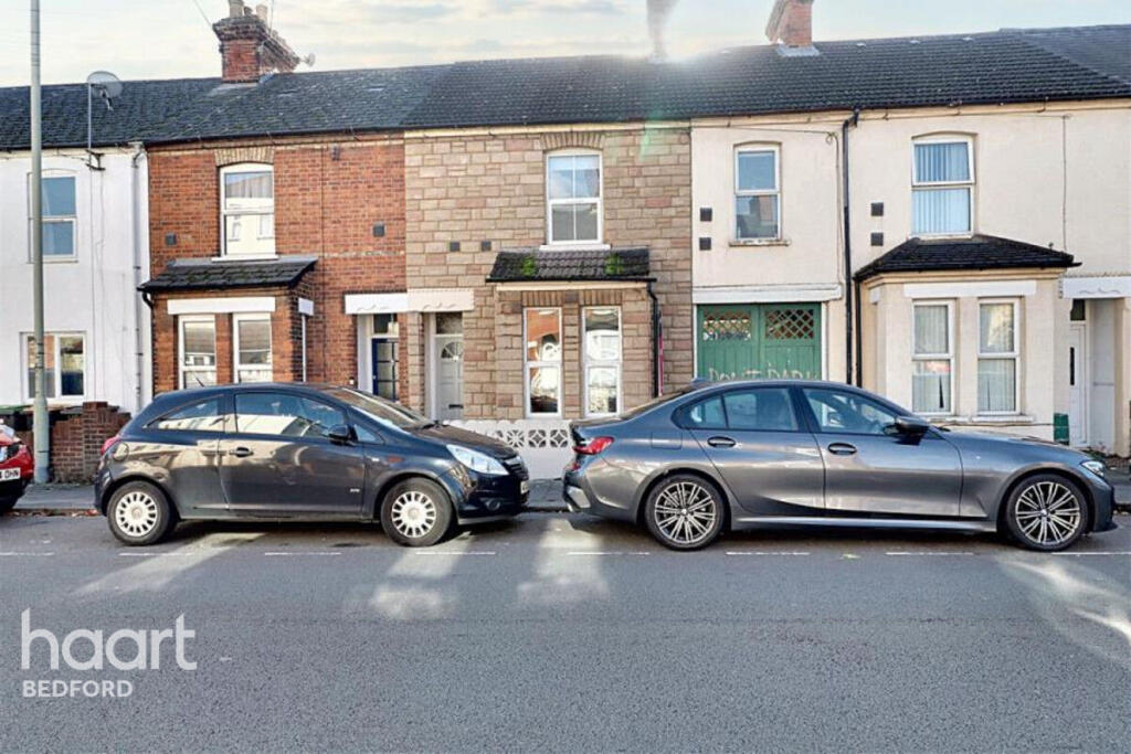
Roff Avenue, Bedford
By haart
£ 1,250
haart says ..
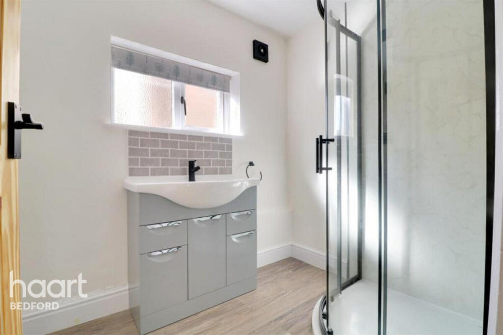
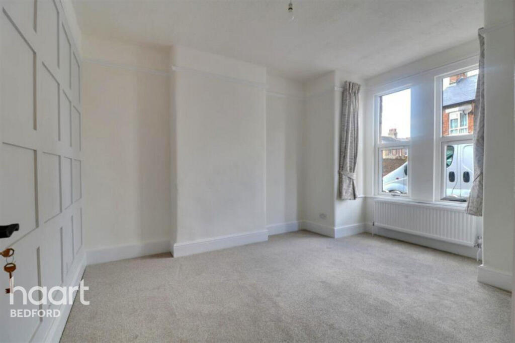
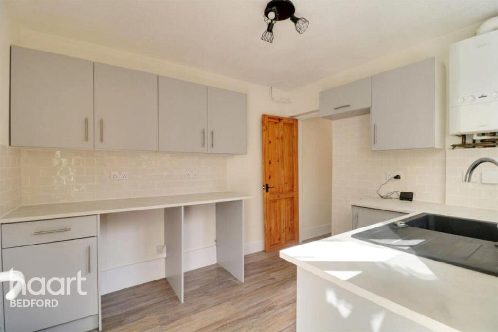
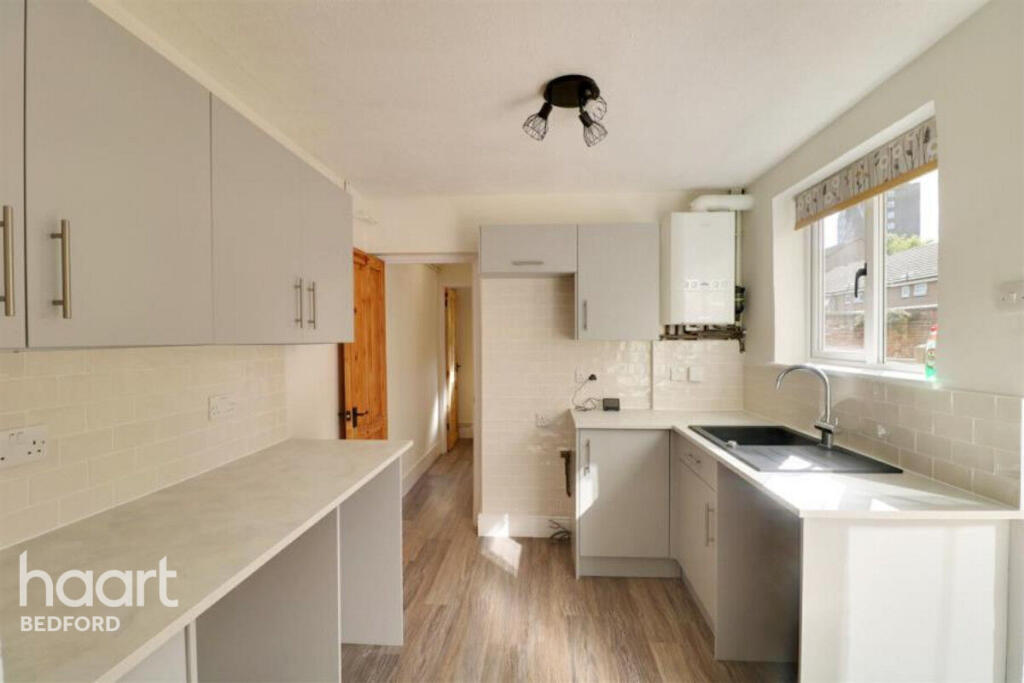
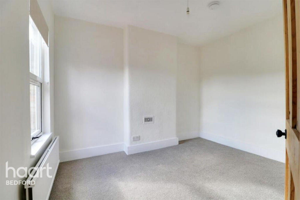
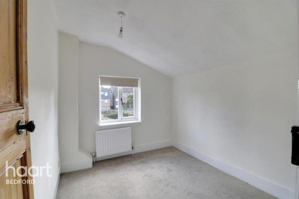
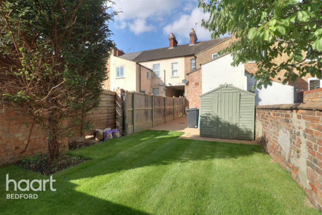
3-bedroom terraced house
- Bedrooms
- 3
- Bathrooms
- 1
The heatmap indicates the level of crime in the area. The color of the heatmap indicates the crime severity and recency.
Metrics Year-on-Year
- Average area value
- 334,286.00 £Increased by 12.68 %
- Average area rental value
- 1,243.00 £/moIncreased by 20.21 %
- Est rental Yield
- 4.46 %Increased by 6.70 %
- Crime Rate
- 13.00 %Unchanged by 0.00 %
from 296,656.00 £
from 1,034.00 £/mo
from 4.18 %
from 13.00 %
Agent Activity
haart created the listing.
Nearby Schools
| Name | Type | Ofsted | Distance |
|---|---|---|---|
| Pine Cones Cc (Bedford Borough) | Children's Centre | 0.48 KM | |
| Livingstone Primary School | Foundation School | Good | 0.51 KM |
| Polam School | Other Independent School | 0.65 KM | |
| Bedford Central Cc (Bedford Borough) | Children's Centre | 0.68 KM | |
| Priory Primary School | Foundation School | Outstanding | 0.70 KM |
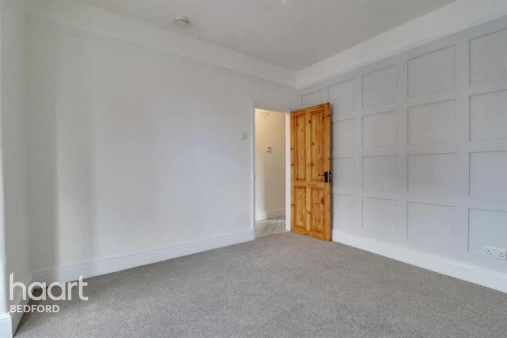
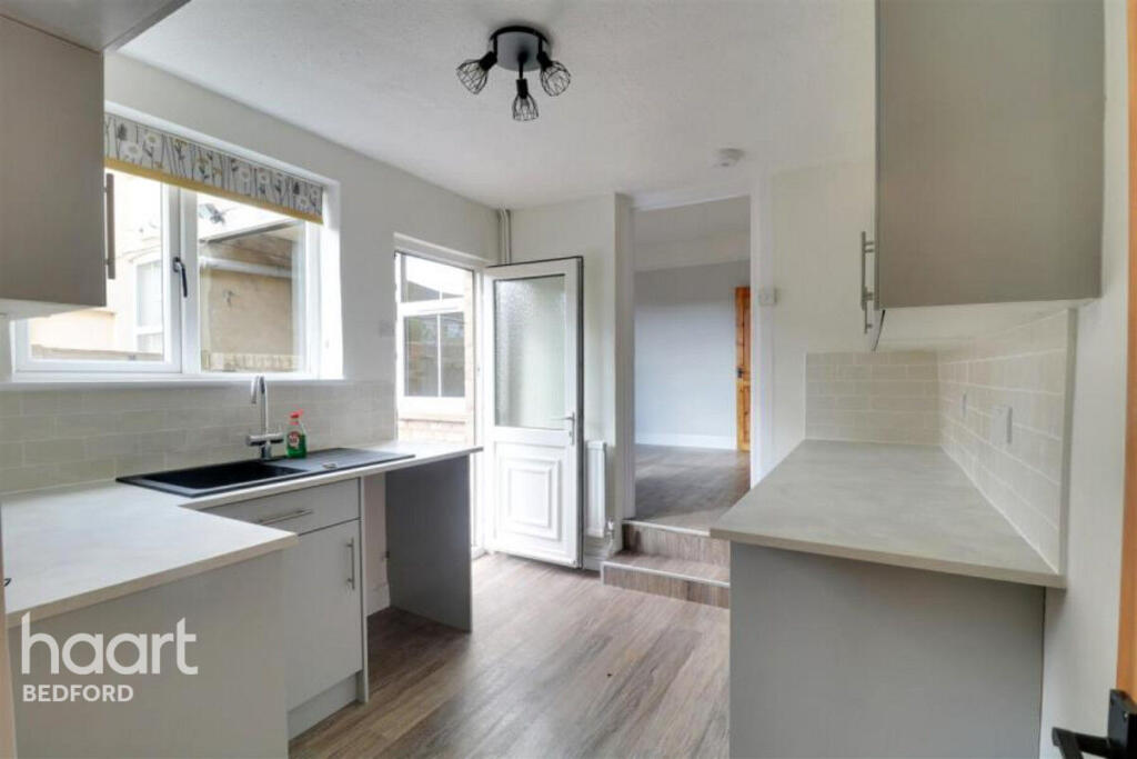
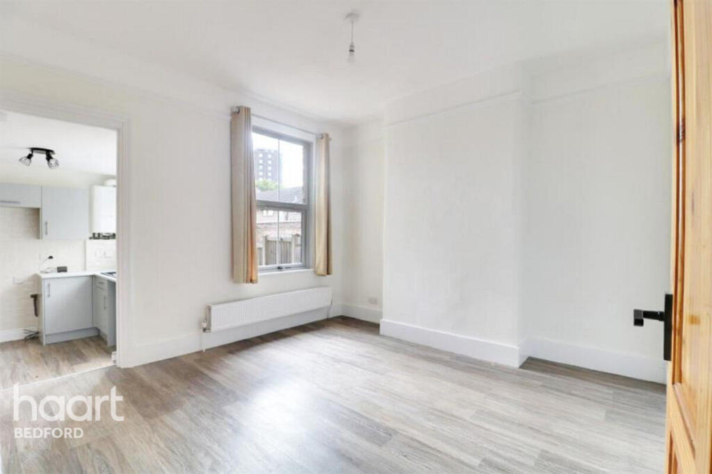
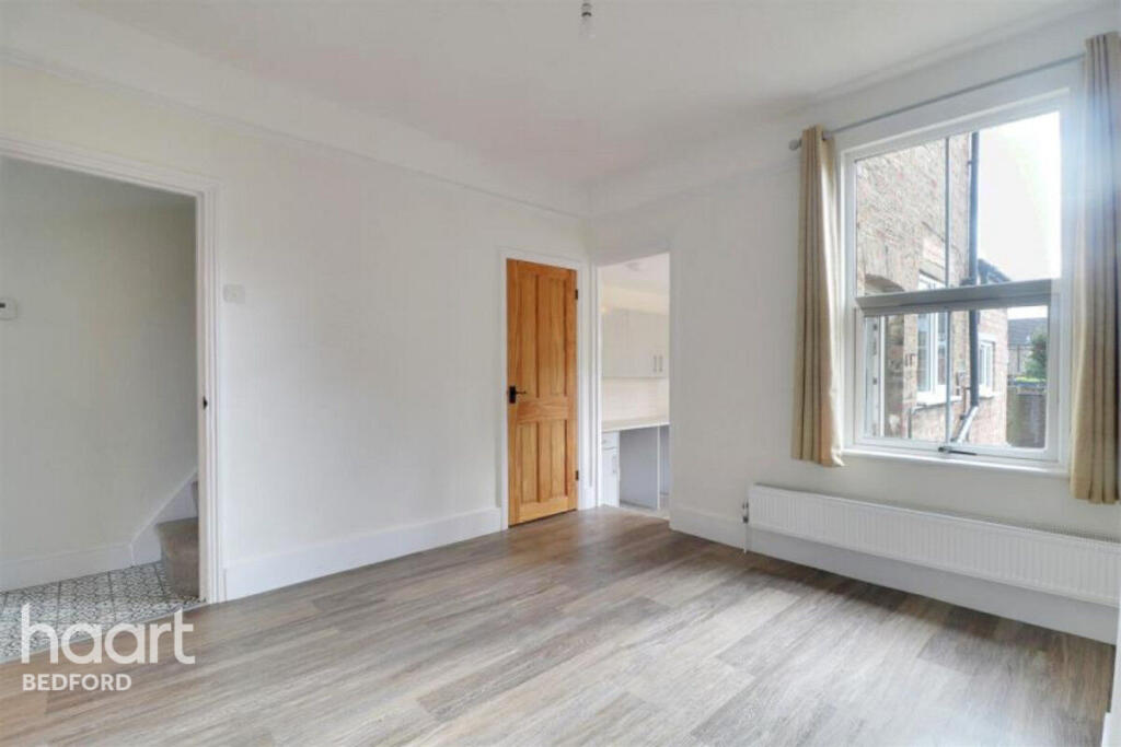
Images


Nearby Streets
| Name | Average Price | Average Sqft | Distance |
|---|---|---|---|
| Hogarth Close | £ 0 | 0 | 0.00 KM |
| Allhallows | £ 0 | 0 | 0.00 KM |
| Reynolds Close | £ 335,000 | 0 | 0.00 KM |
| Church Square | £ 0 | 0 | 0.00 KM |
| De Parys Avenue | £ 0 | 0 | 0.00 KM |
Nearby Transport
| Name | NLC | TLC | Distance |
|---|---|---|---|
| Bedford | 1512 | BDM | 1.16 KM |
| Bedford St Johns | 1510 | BSJ | 1.60 KM |
| Kempston Hardwick | 1384 | KMH | 6.70 KM |
| Stewartby | 1386 | SWR | 9.87 KM |
Nearby Listings
| Address | Price | Type | Score | Distance |
|---|---|---|---|---|
| Roff Avenue, Bedford | £ 1,250 | RENT | Unknown | 0.00 KM |
| Boswell Court, Bedford, Bedfordshire, MK40 | £ 794 | RENT | Unknown | 0.08 KM |
| Gladstone Street, Bedford, MK41 | £ 1,295 | RENT | Unknown | 0.10 KM |
| Gladstone Street, Bedford, MK41 | £ 1,495 | RENT | Unknown | 0.10 KM |
| , , | £ 1,275 | RENT | Unknown | 0.11 KM |
Nearby Properties
| Address | Price | Distance |
|---|---|---|
| 87 - 89 Queen Street | £ 130,000 | 0.05 KM |
| 87 Queen Street | £ 130,000 | 0.05 KM |
| 103 Queen Street | £ 184,995 | 0.06 KM |
| 21 Garfield Street | £ 184,000 | 0.10 KM |
| 51 Garfield Street | £ 179,995 | 0.10 KM |