
HA
Swallowfield
By haart
£ 895
haart says ..
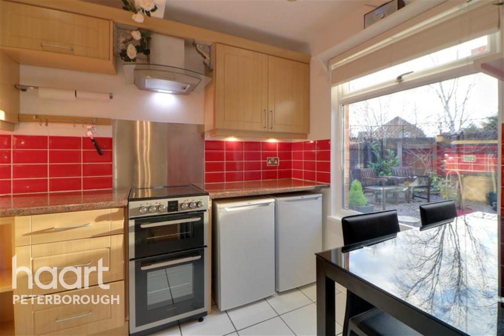
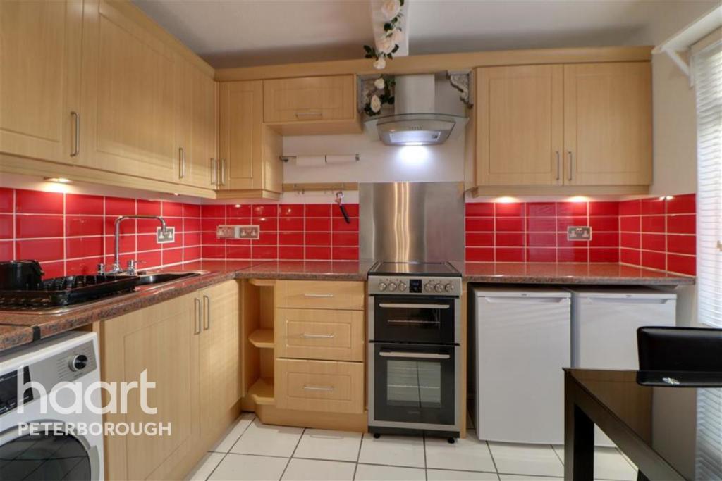
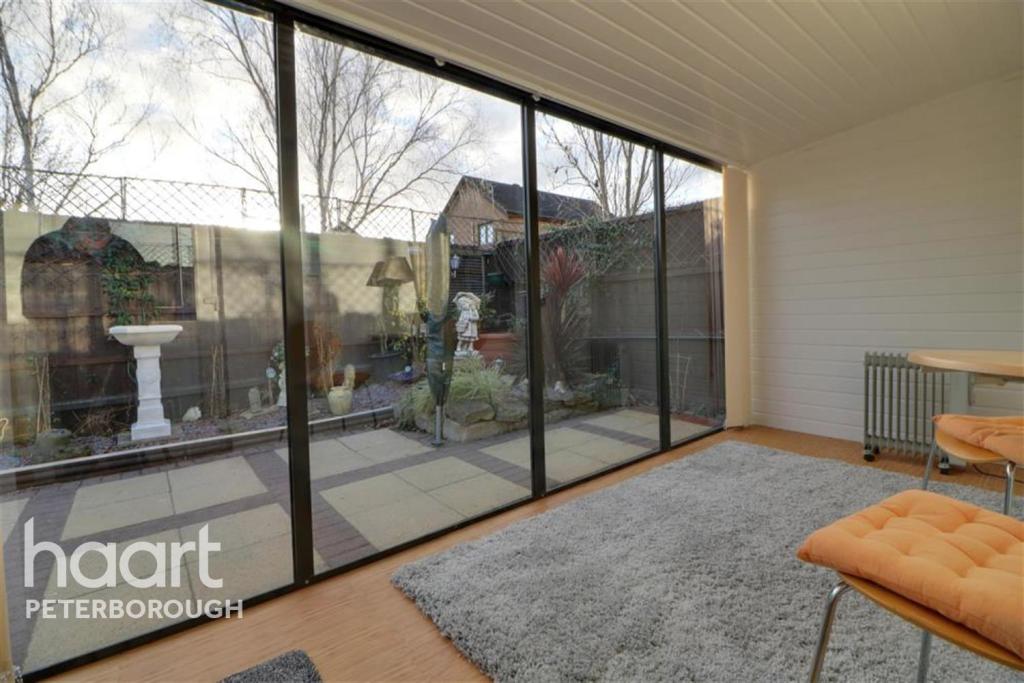
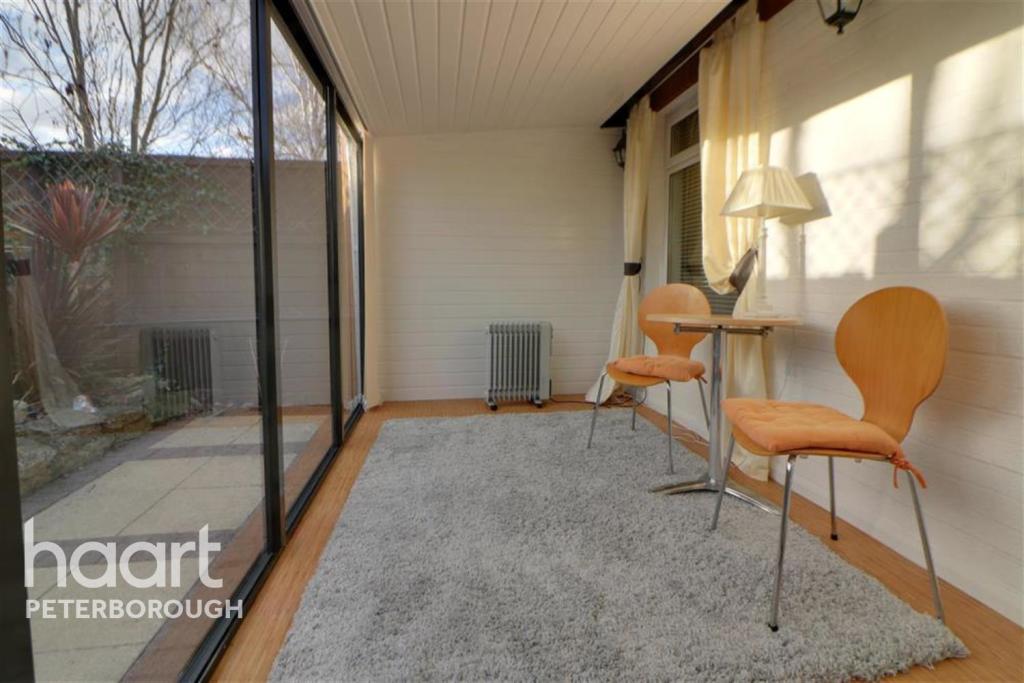
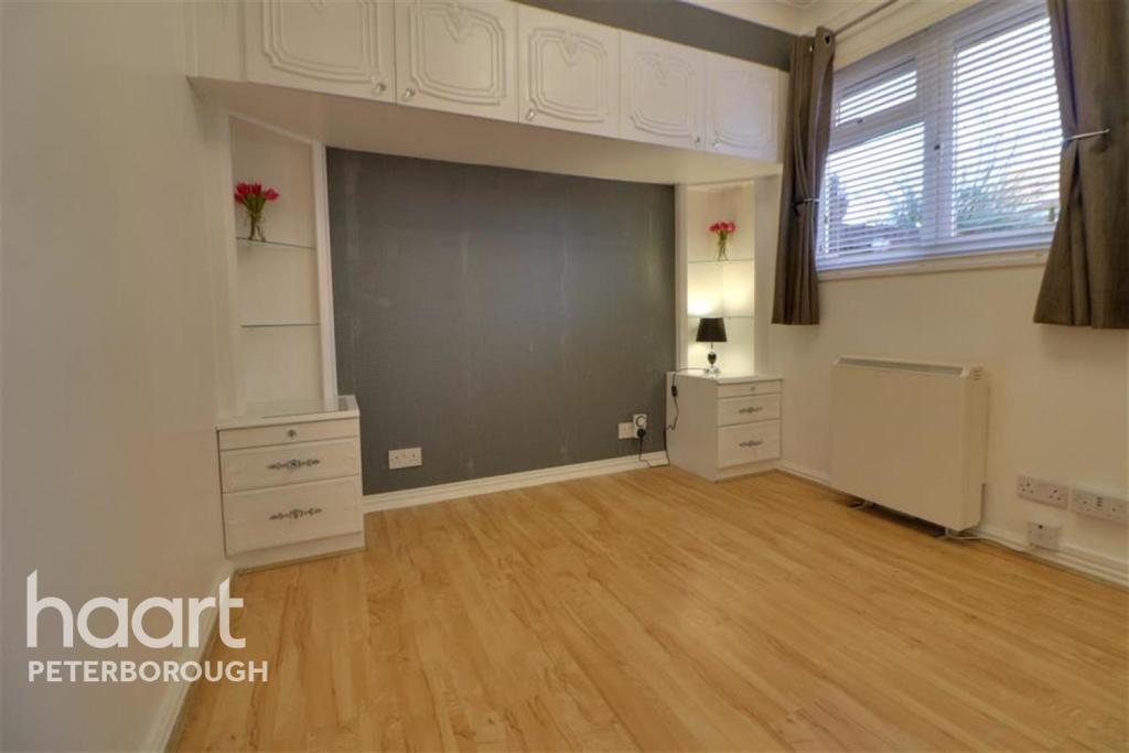
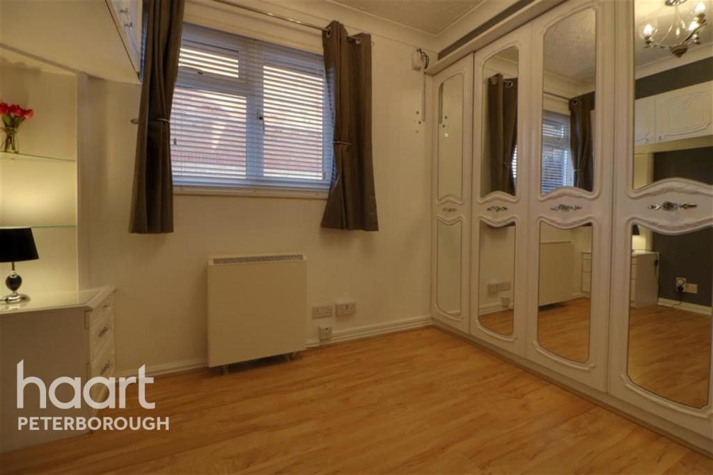
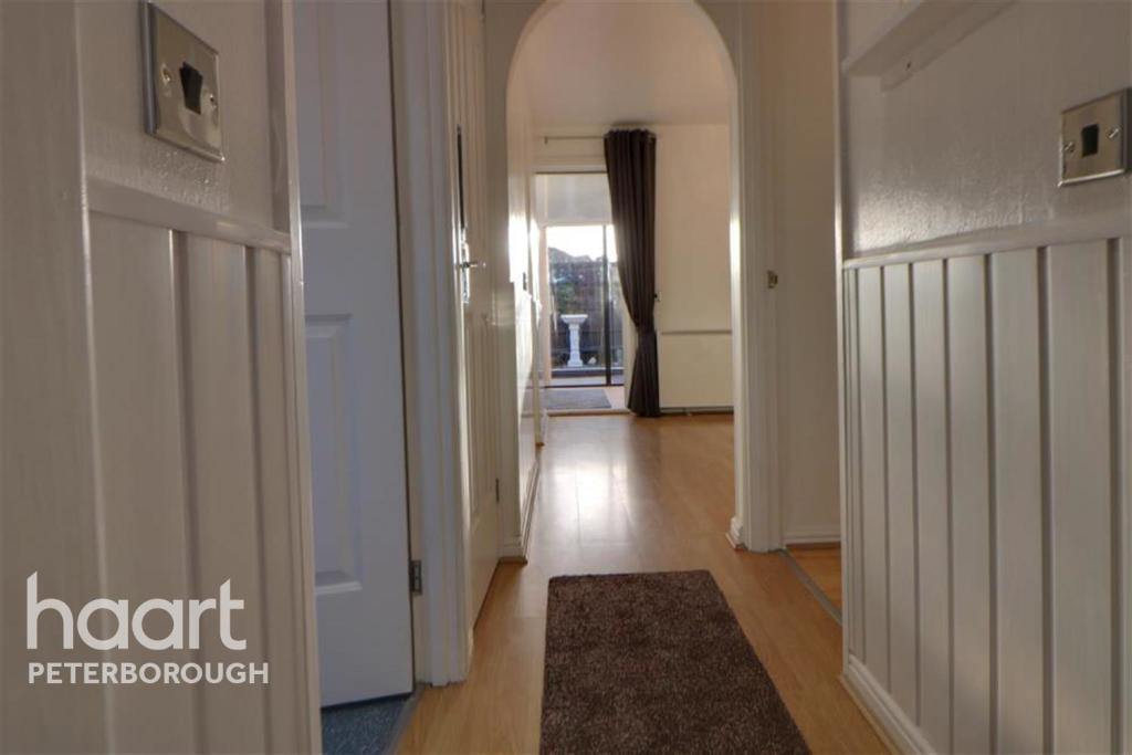
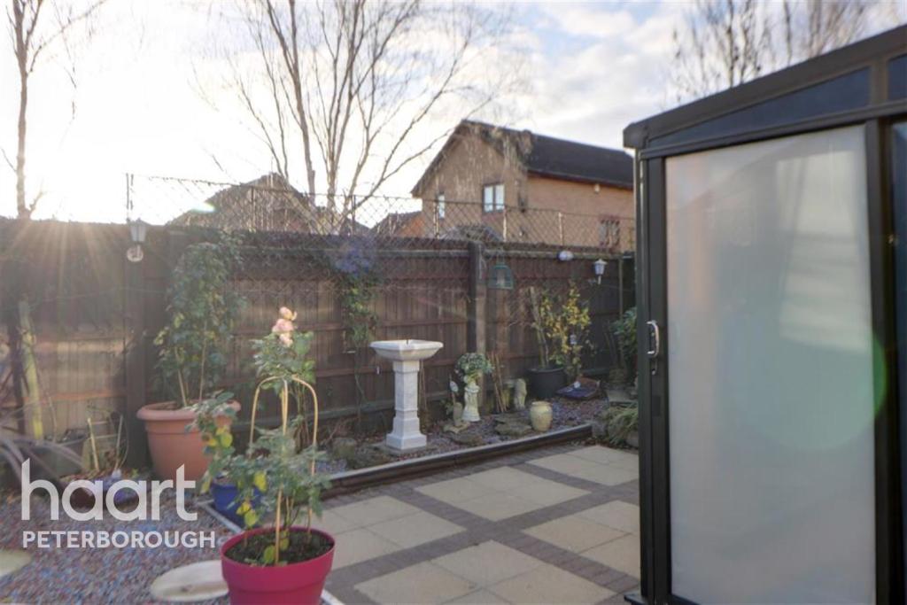
**NO DEPOSIT OPTION AVAILABLE** - Detached bungalow decorated through out and situated in quite cal-de-sac location in Werrington. Click for details
- Bedrooms
- 1
- Bathrooms
- 0
The heatmap indicates the level of crime in the area. The color of the heatmap indicates the crime severity and recency.
Metrics Year-on-Year
- Average area value
- 260,000.00 £Increased by 0.96 %
- Average area rental value
- 1,035.00 £/moDecreased by 3.36 %
- Est rental Yield
- 4.78 %Decreased by 4.21 %
- Crime Rate
- 9.00 %Unchanged by 0.00 %
from 257,515.00 £
from 1,071.00 £/mo
from 4.99 %
from 9.00 %
Agent Activity
haart created the listing.
Nearby Schools
| Name | Type | Ofsted | Distance |
|---|---|---|---|
| William Law Cofe Primary School | Academy Converter | Good | 0.20 KM |
| Ken Stimpson Community School | Community School | Good | 0.36 KM |
| Werrington Primary School | Academy Converter | 1.14 KM | |
| Welbourne Primary Academy | Academy Converter | 1.30 KM | |
| Queen Katharine Academy | Academy Sponsor Led | Good | 1.80 KM |
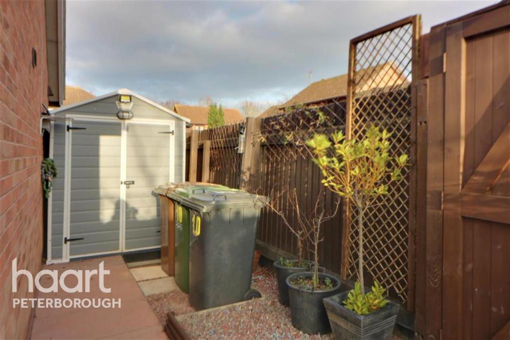
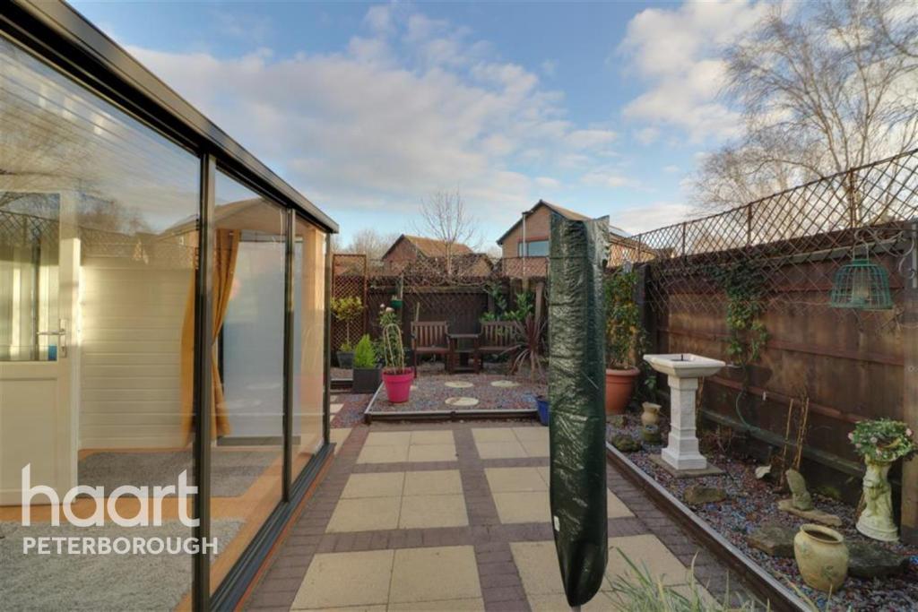
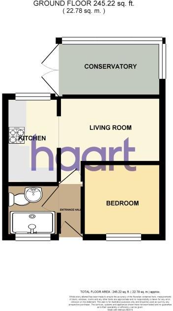
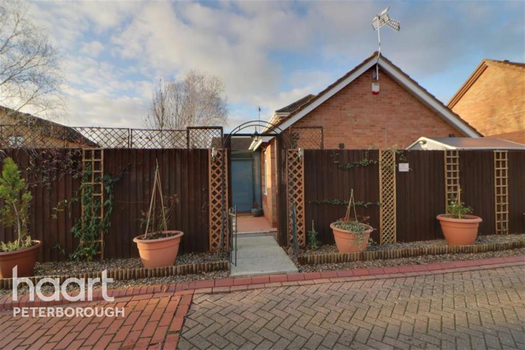
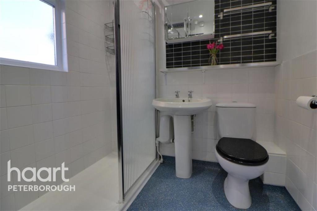
Images

Nearby Streets
| Name | Average Price | Average Sqft | Distance |
|---|---|---|---|
| Coverdale Walk | £ 0 | 0 | 0.00 KM |
| Hodgson Avenue cycle path | £ 0 | 0 | 0.00 KM |
| Lambes Court | £ 325,000 | 0 | 0.00 KM |
| Shepherds Close | £ 300,000 | 0 | 0.00 KM |
| Cock Lane | £ 70,000 | 0 | 0.00 KM |
Nearby Transport
| Name | NLC | TLC | Distance |
|---|---|---|---|
| Peterborough | 6133 | PBO | 5.98 KM |
Nearby Listings
| Address | Price | Type | Score | Distance |
|---|---|---|---|---|
| Swallowfield | £ 895 | RENT | Unknown | 0.00 KM |
| Cranemore, Peterborough | £ 925 | RENT | Unknown | 0.25 KM |
| 60 Wainwright, Peterborough | £ 625 | RENT | Unknown | 0.30 KM |
| Eastfield Road, Peterborough | £ 715 | RENT | Unknown | 0.31 KM |
| Cranemore, PETERBOROUGH | £ 1,050 | RENT | Unknown | 0.35 KM |
Nearby Properties
| Address | Price | Distance |
|---|---|---|
| 51 Swallowfield | £ 105,000 | 0.00 KM |
| 8 Swallowfield | £ 100,000 | 0.00 KM |
| 67 Swallowfield | £ 160,000 | 0.00 KM |
| 40 Swallowfield | £ 58,400 | 0.00 KM |
| 44 Swallowfield | £ 169,995 | 0.00 KM |