PO
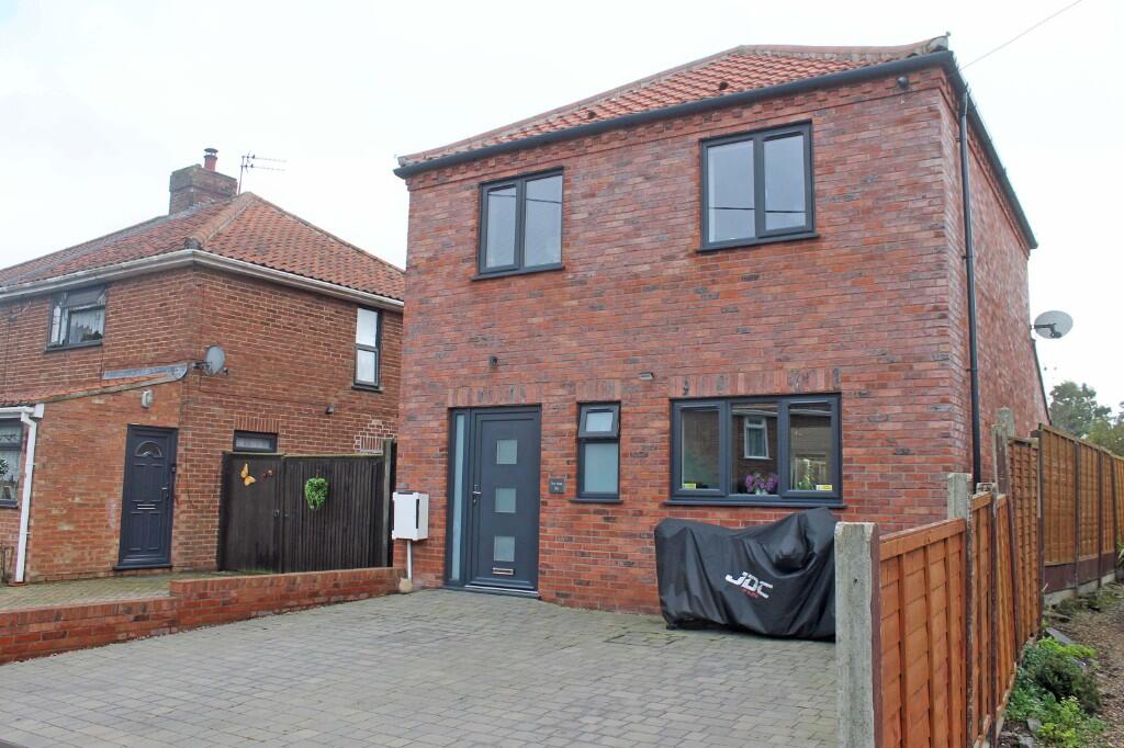
Coronation Road, Holt, Norfolk, NR25
By Pointens
£ 1,200
Pointens says ..
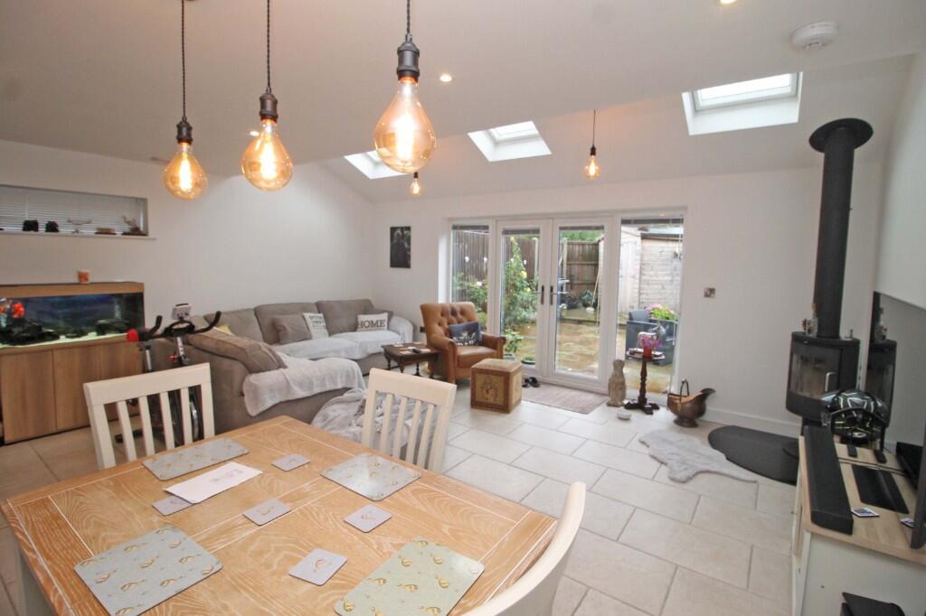
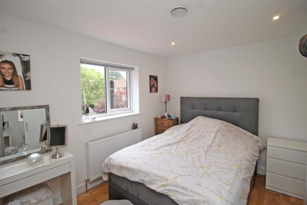
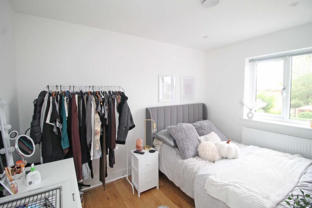
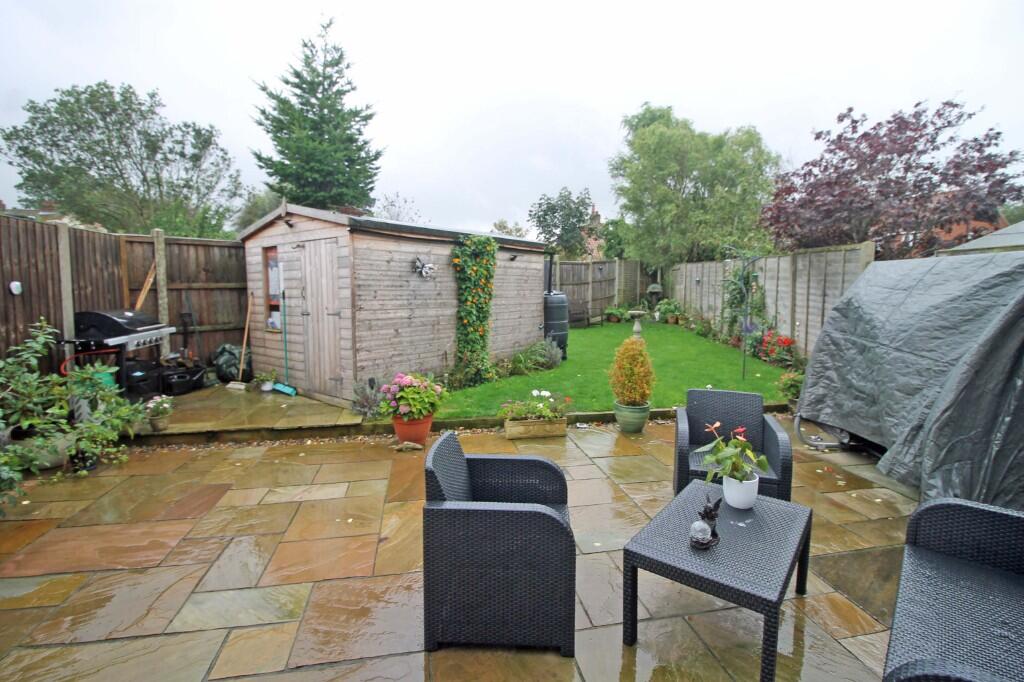
Located close to the Town. Open plan lounge/dining. 3 Bedrooms. Garden and Parking
- Bedrooms
- 3
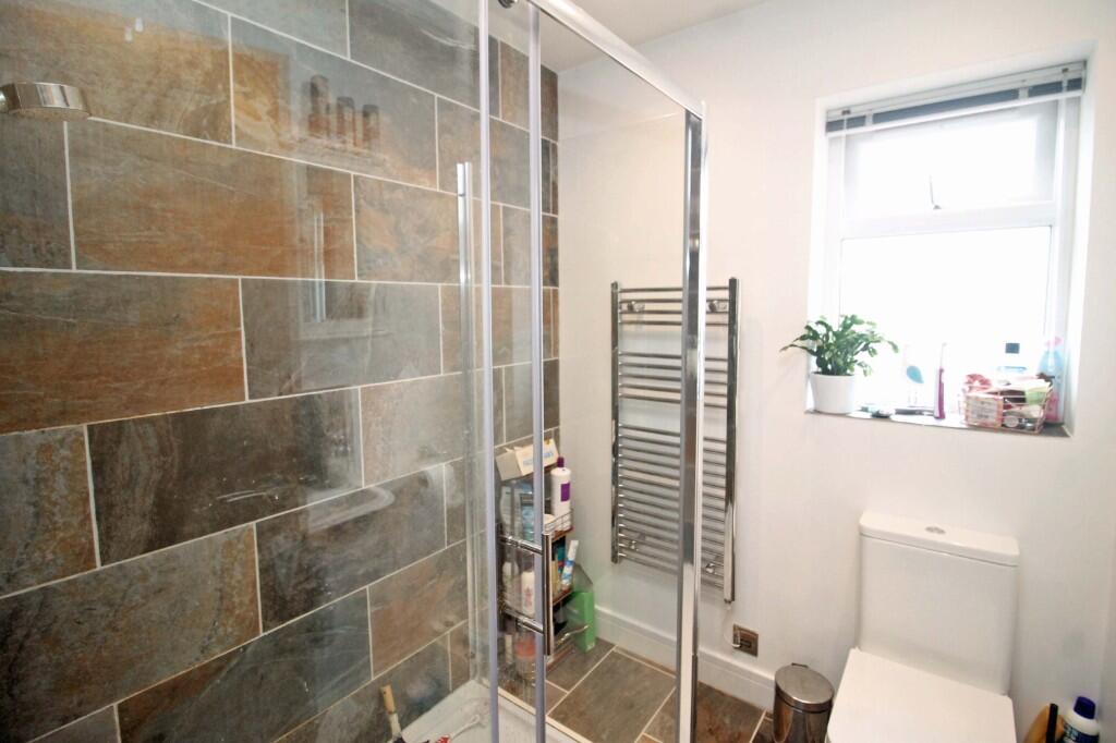
- Bathrooms
- 1
The heatmap indicates the level of crime in the area. The color of the heatmap indicates the crime severity and recency.
Metrics Year-on-Year
- Average area value
- 398,765.00 £Decreased by 0.35 %
- Average area rental value
- 1,263.00 £/moIncreased by 3.52 %
- Est rental Yield
- 3.80 %Increased by 3.83 %
- Crime Rate
- 65.00 %Unchanged by 0.00 %
from 400,154.00 £
from 1,220.00 £/mo
from 3.66 %
from 65.00 %
Agent Activity
Pointens created the listing.
Nearby Schools
| Name | Type | Ofsted | Distance |
|---|---|---|---|
| Corpusty And Holt Area Children'S Centre | Children's Centre | 0.38 KM | |
| Holt Community Primary School | Community School | Good | 0.88 KM |
| Gresham'S School | Other Independent School | 1.27 KM | |
| Kelling Ce Primary School | Voluntary Aided School | Good | 4.93 KM |
| Astley Primary School | Academy Converter | 7.33 KM |
Images

Nearby Streets
| Name | Average Price | Average Sqft | Distance |
|---|---|---|---|
| Coronation Road | £ 355,000 | 0 | 0.00 KM |
| Elsden Close | £ 0 | 890 | 0.00 KM |
| Church Street | £ 0 | 0 | 0.00 KM |
| Wright's Close | £ 0 | 0 | 0.00 KM |
| Barn Owl Drive | £ 325,000 | 0 | 0.00 KM |
Nearby Listings
| Address | Price | Type | Score | Distance |
|---|---|---|---|---|
| Coronation Road, Holt, Norfolk, NR25 | £ 1,200 | RENT | Unknown | 0.00 KM |
| Hempstead Road, Holt, NR25 | £ 775 | RENT | Unknown | 0.12 KM |
| The Close, Holt, Norfolk, NR25 | £ 1,100 | RENT | Unknown | 0.16 KM |
| The Close, Holt, NR25 | £ 1,100 | RENT | Unknown | 0.17 KM |
| Holt | £ 750 | RENT | Unknown | 0.20 KM |
Nearby Properties
| Address | Price | Distance |
|---|---|---|
| 8 Queens Road | £ 106,000 | 0.12 KM |
| 7 Queens Road | £ 222,500 | 0.12 KM |
| 4b Queens Road | £ 185,000 | 0.12 KM |
| 13 Hempstead Road | £ 140,000 | 0.16 KM |
| 41 Hempstead Road | £ 276,000 | 0.16 KM |