Higher Sherford Farm, Plymouth
By Miller Commercial
£ 1,750,000
Reviews
2 out of 5 stars
Miller Commercial says ..
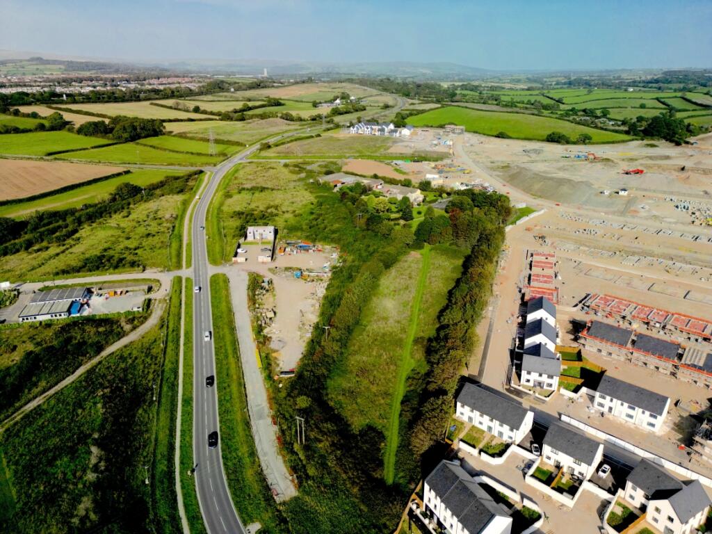
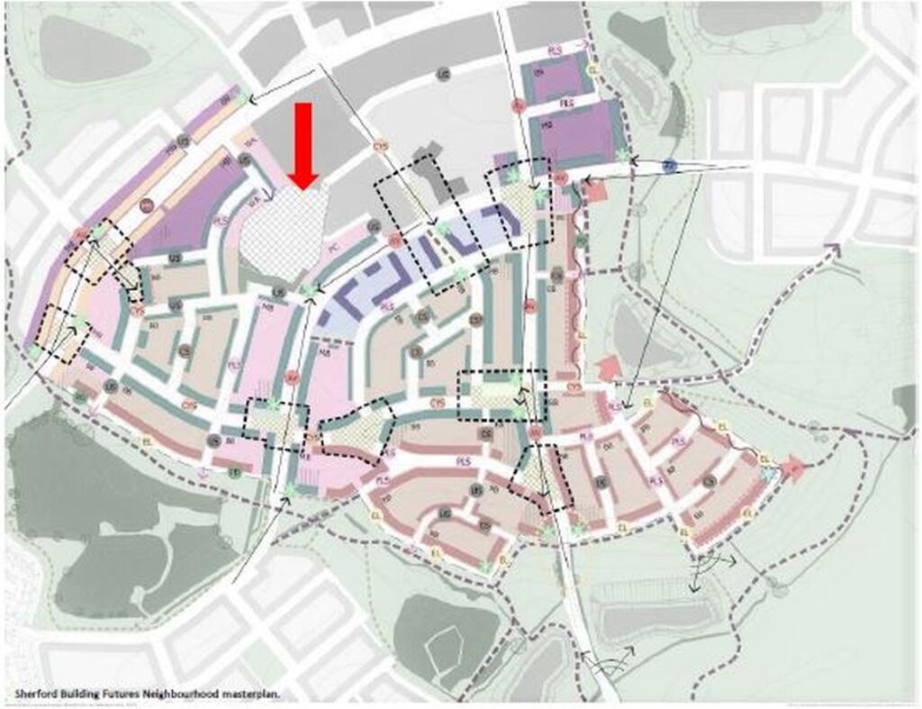
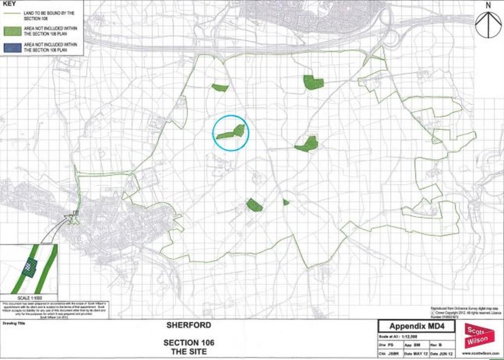
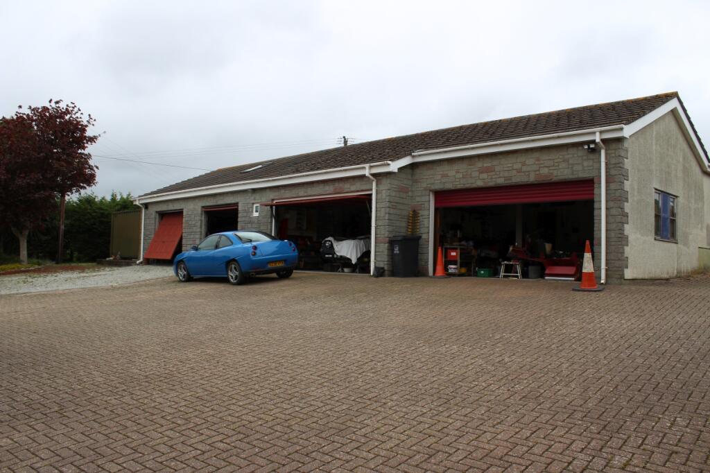
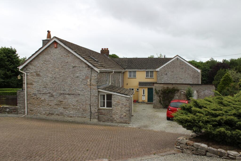
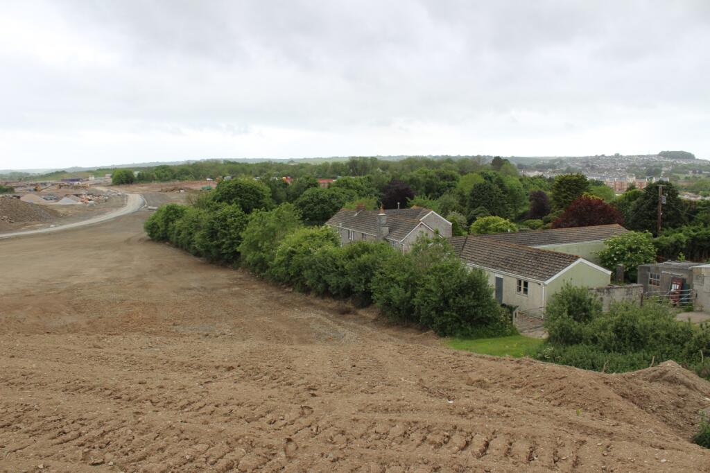
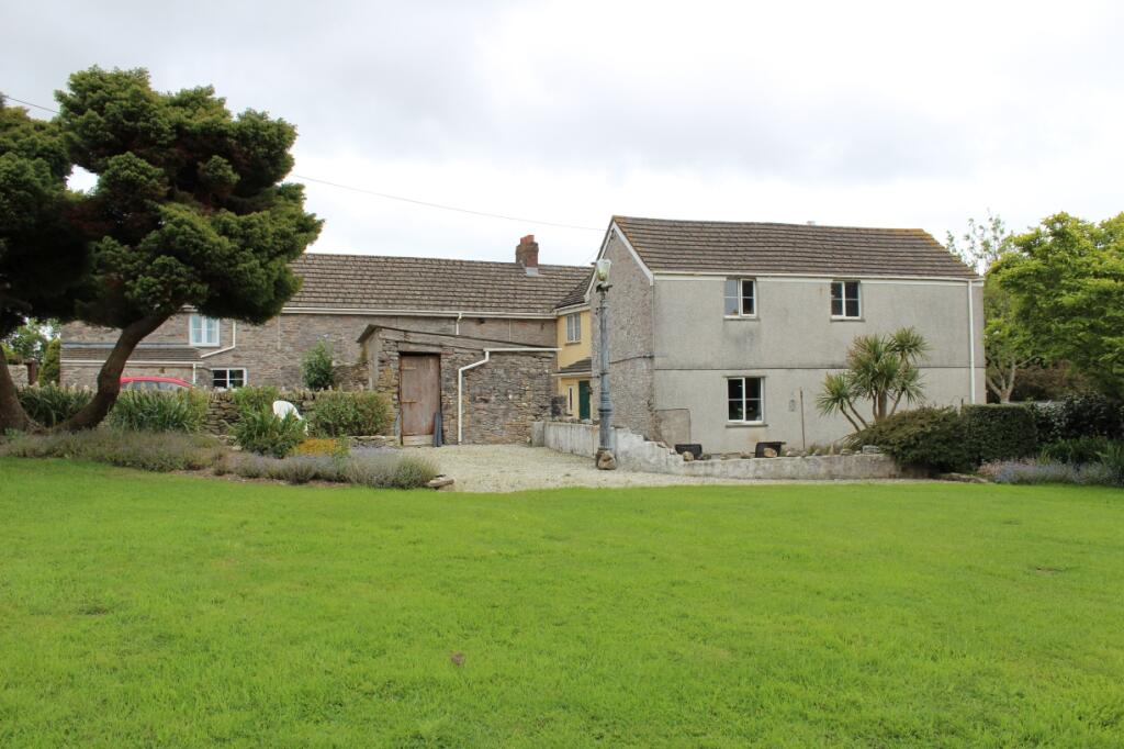
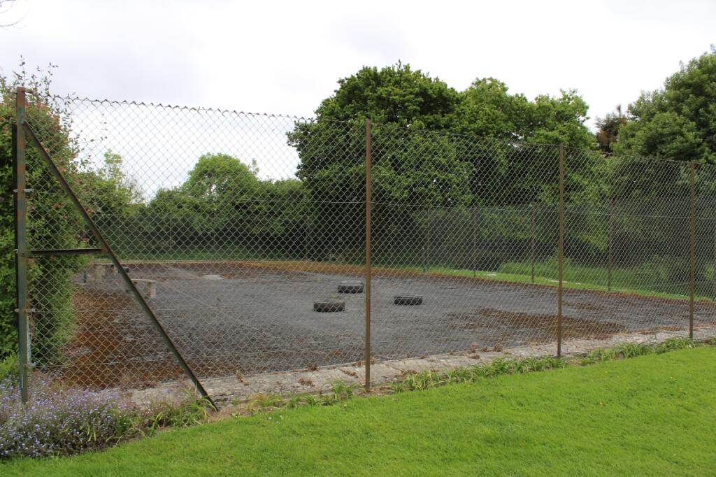
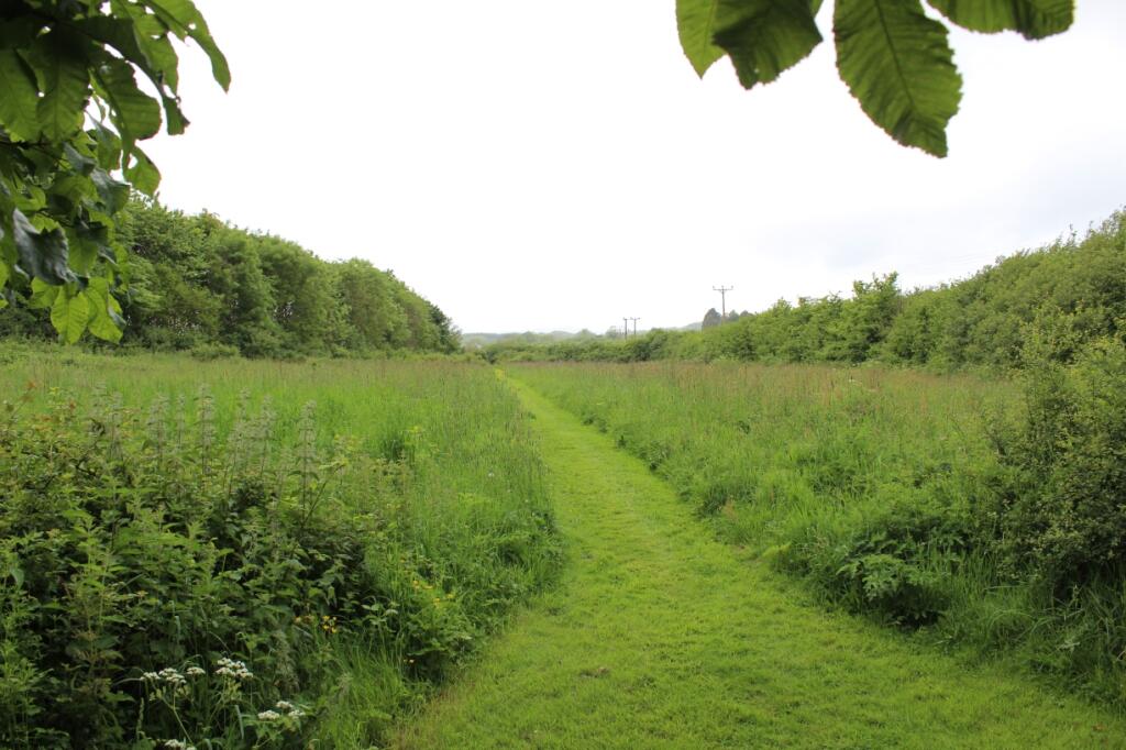
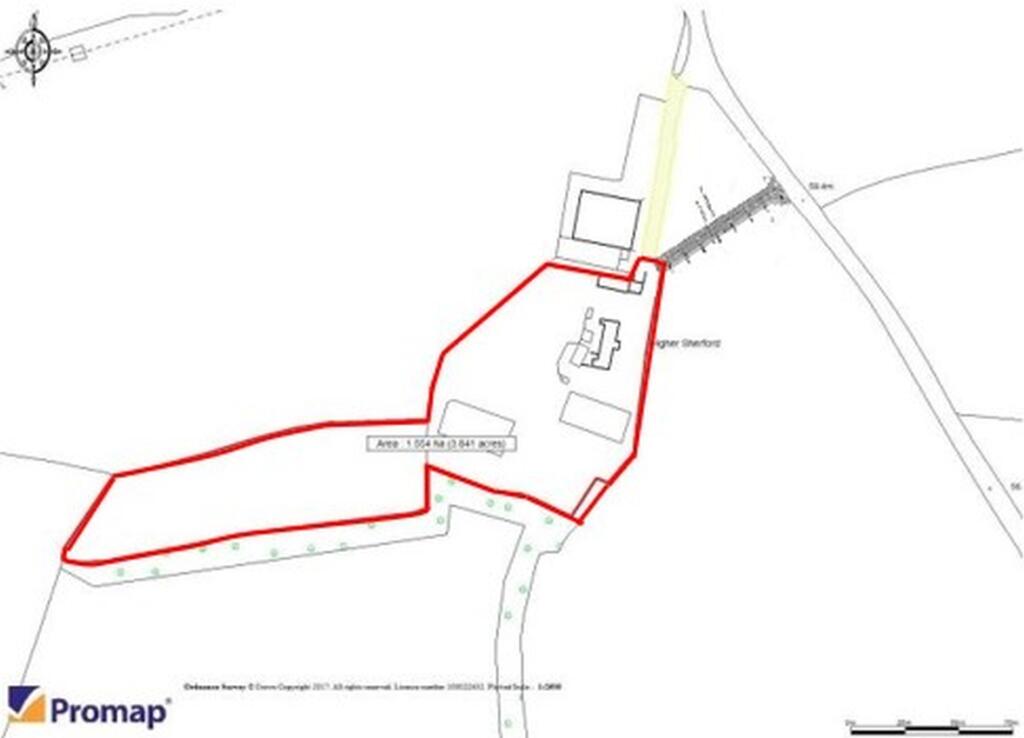
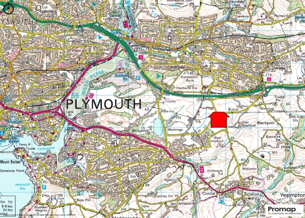
LARGE DETACHED HOUSE with OUT BUILDINGS AND LAND measuring 3.8 4acres with DEVELOPMENT POTENTIAL (STP) The site is situated in the centre of the proposed Sherford new town development, between Brixton and Plympton, on the eastern side of the City of Plymouth, near the South Hams coastline and Area o
Property Oracle says ..
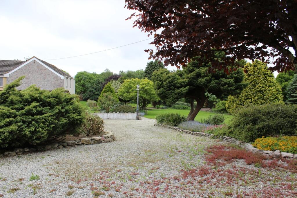
The property is located in a rural area on the edge of Sherford, a new development in South Hams, Devon. The surrounding area appears to be a mix of farmland and some new housing developments. While the images show some green spaces and what looks like a garden area, the property’s precise plot size is not specified. The nearest schools are a reasonable distance away, with St Mary’s Church of England Primary School being the closest at 1.48km. The lack of nearby transportation information makes it difficult to assess the property’s accessibility. The list price of £1,750,000 is significantly higher than the average prices of nearby properties in Sherford, which range from £270,000 to £350,000 for smaller homes. Given the lack of information on the size of this property and the absence of details regarding its condition, it’s challenging to provide a definitive assessment of value. The property appears to be a substantial building, based on the provided images, suggesting it may be larger than the average homes in Sherford. However, without accurate square footage, a thorough price analysis is impossible. The images suggest the property is in generally good condition, although some external maintenance may be necessary. More information is needed to make a full and accurate assessment.
Therefore, we give this property 5 / 10. *Disclaimer: This is our option and does constitute a recommendation or financial advice. Do your own research. *
- Price
- 4
- Condition
- 0
- Location
- 6
- Land
- 6
- Bedrooms
- 0
- Bathrooms
- 0
The heatmap indicates the level of crime in the area. The color of the heatmap indicates the crime severity and recency.
Metrics Year-on-Year
- Average area value
- 435,825.00 £Decreased by 7.72 %
- Average area rental value
- 1,100.00 £/moDecreased by 2.91 %
- Est rental Yield
- 3.03 %Increased by 5.21 %
- Crime Rate
- 0.00 %
Agent Activity
Miller Commercial created the listing.
Nearby Schools
| Name | Type | Ofsted | Distance |
|---|---|---|---|
| St Mary'S Church Of England Primary School | Voluntary Aided School | Outstanding | 1.48 KM |
| Yealmpstone Farm Primary School | Community School | Good | 1.98 KM |
| Sherford Vale School | Free Schools | 2.01 KM | |
| Plympton St Maurice Primary School | Academy Converter | Good | 2.08 KM |
| Longcause Community Special School | Community Special School | Good | 2.38 KM |
Images


Nearby Streets
| Name | Average Price | Average Sqft | Distance |
|---|---|---|---|
| West Sherford Cottages | £ 0 | 0 | 0.00 KM |
| Tulip Lane | £ 297,500 | 0 | 0.00 KM |
| Sycamore Way | £ 0 | 0 | 0.00 KM |
| Halo Mews | £ 0 | 0 | 0.00 KM |
| Fox Park | £ 315,000 | 0 | 0.00 KM |
Nearby Listings
| Address | Price | Type | Score | Distance |
|---|---|---|---|---|
| Higher Sherford Farm, Plymouth | £ 1,750,000 | BUY | 5 / 10 | 0.00 KM |
| Sycamore Way, Sherford, Plymouth, Devon | £ 325,000 | BUY | 7 / 10 | 0.58 KM |
| Sycamore Way, Sherford, Plymouth | £ 325,000 | BUY | 7 / 10 | 0.58 KM |
| Sycamore Way, Plymouth, PL9 | £ 375,000 | BUY | 7 / 10 | 0.64 KM |
| Primrose Drive, Plymouth, PL9 | £ 210,000 | BUY | 6 / 10 | 0.70 KM |
Nearby Properties
| Address | Price | Distance |
|---|---|---|
| Mayfield | £ 355,000 | 1.15 KM |
| Lower Ashwood | £ 387,000 | 1.15 KM |
| Kingsacre | £ 205,000 | 1.17 KM |
| 5 Cherry Tree Drive | £ 240,000 | 1.23 KM |
| 34 Cherry Tree Drive | £ 460,000 | 1.23 KM |