NE
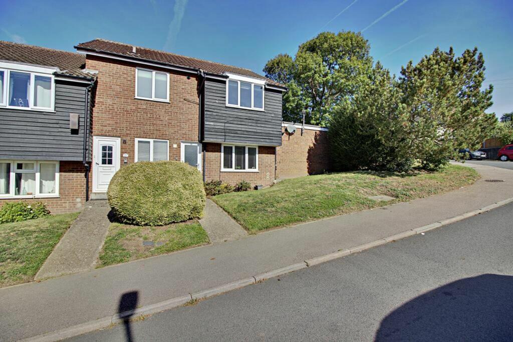
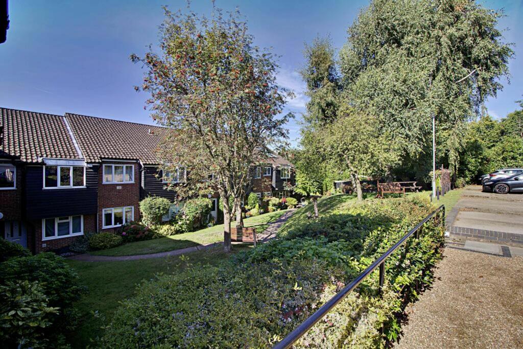
Thele Avenue, Stanstead Abbotts, SG12
By Nested
£ 230,000
Nested says ..
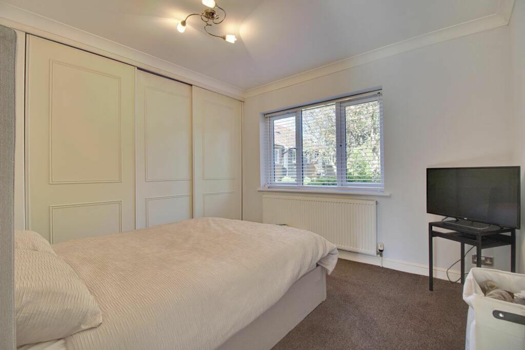
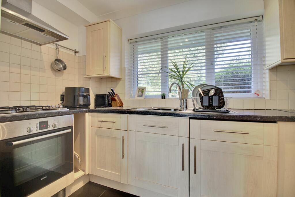
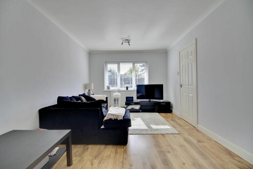
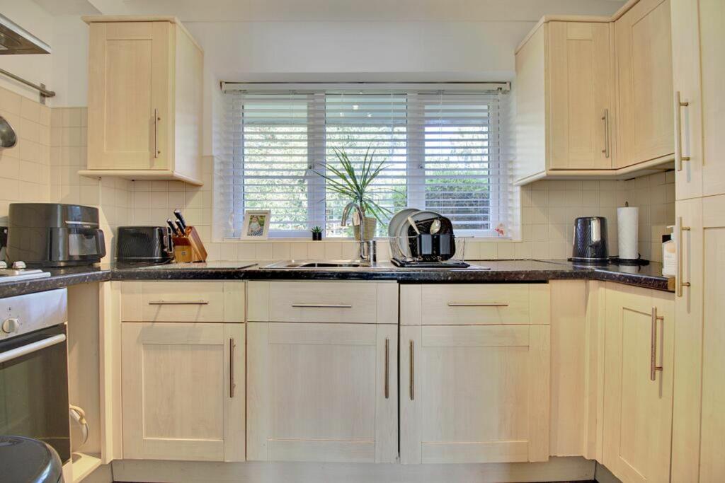
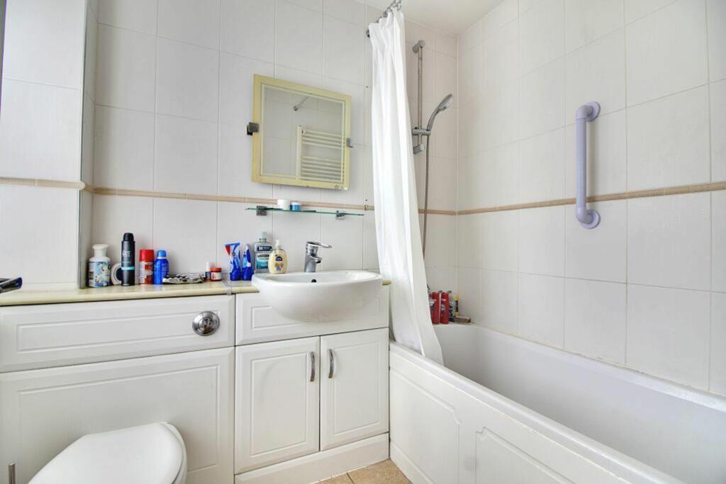
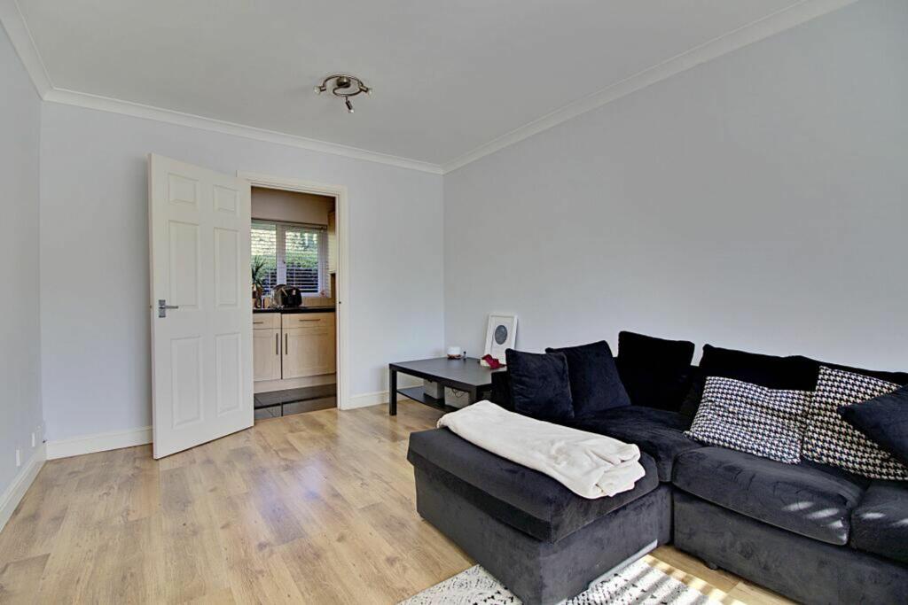
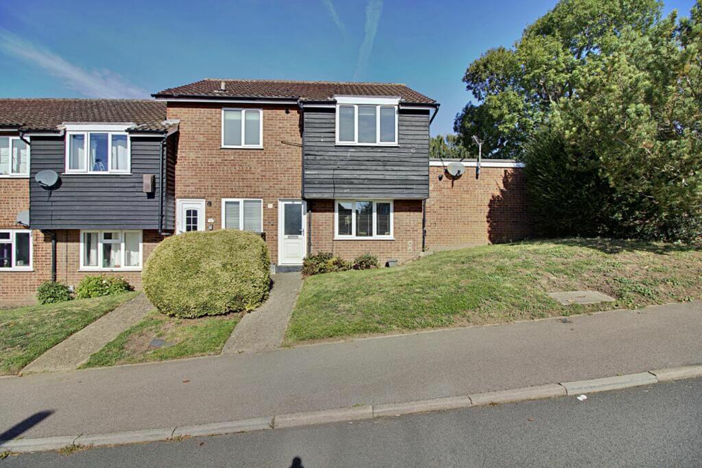
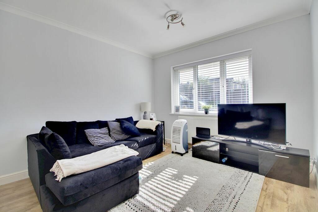
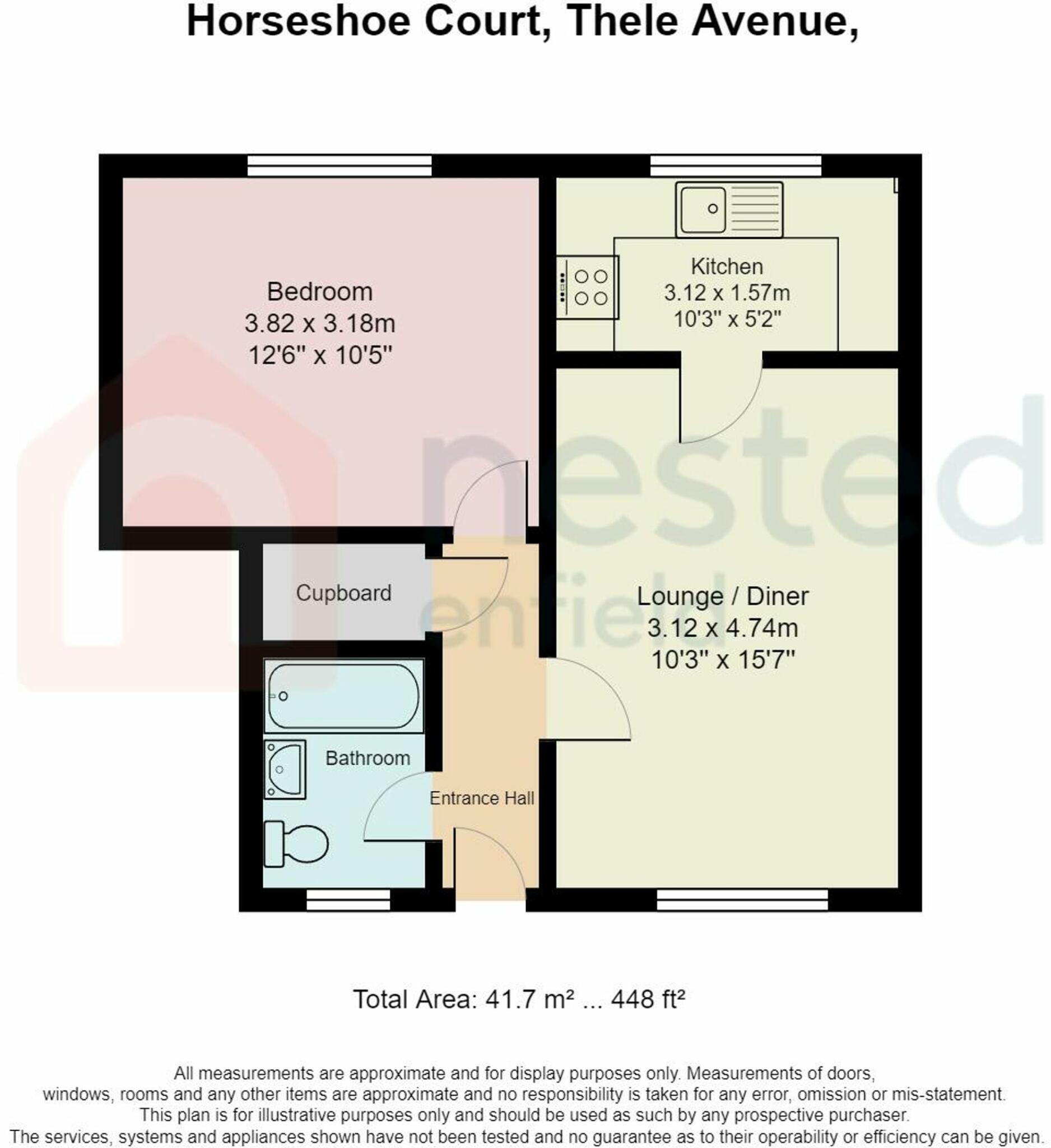
A modern and spacious one double bedroom ground floor maisonette with garage to the side.
- Bedrooms
- 1
- Bathrooms
- 1
The heatmap indicates the level of crime in the area. The color of the heatmap indicates the crime severity and recency.
Metrics Year-on-Year
- Average area value
- 482,066.00 £Decreased by 2.28 %
- Average area rental value
- 1,721.00 £/moDecreased by 19.43 %
- Est rental Yield
- 4.28 %Decreased by 17.69 %
- Crime Rate
- 59.00 %Unchanged by 0.00 %
from 493,333.00 £
from 2,136.00 £/mo
from 5.20 %
from 59.00 %
Agent Activity
Nested created the listing.
Nearby Schools
| Name | Type | Ofsted | Distance |
|---|---|---|---|
| St Andrew'S Church Of England Voluntary Controlled Primary School | Voluntary Controlled School | Good | 0.36 KM |
| Amwell View School | Community Special School | Outstanding | 1.68 KM |
| The John Warner School | Academy Converter | Requires improvement | 2.01 KM |
| The Cranbourne Primary School | Academy Converter | Good | 2.35 KM |
| B1 Three Parks Family Centre | Children's Centre | 2.42 KM |
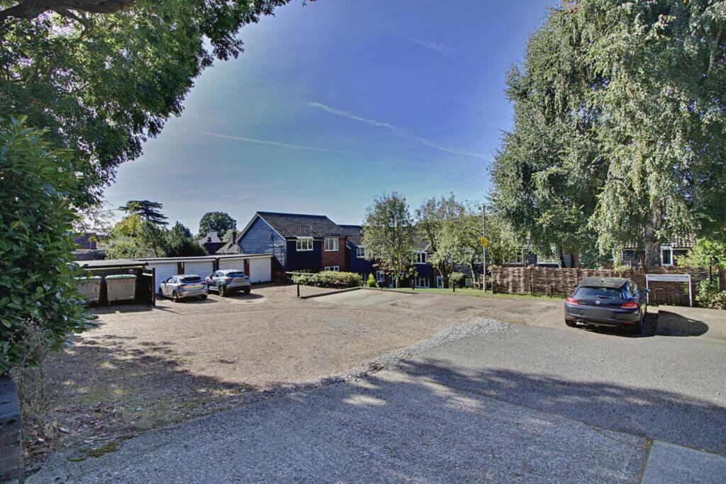
Images

Nearby Streets
| Name | Average Price | Average Sqft | Distance |
|---|---|---|---|
| Maple Leaf Close | £ 750,000 | 0 | 0.00 KM |
| Stanstead Abbots Footpath 7 | £ 600,000 | 0 | 0.00 KM |
| Station Road | £ 1,500,000 | 0 | 0.00 KM |
| The Granary | £ 1,050,000 | 0 | 0.00 KM |
| New River Path | £ 0 | 0 | 0.00 KM |
Nearby Transport
| Name | NLC | TLC | Distance |
|---|---|---|---|
| St Margarets (Herts) | 6821 | SMT | 1.21 KM |
| Rye House | 6820 | RYH | 2.06 KM |
| Roydon | 6829 | RYN | 2.94 KM |
| Ware (Herts) | 6824 | WAR | 5.11 KM |
| Broxbourne | 6812 | BXB | 5.12 KM |
Nearby Listings
| Address | Price | Type | Score | Distance |
|---|---|---|---|---|
| Thele Avenue, Stanstead Abbotts, Ware | £ 230,000 | BUY | 6 / 10 | 0.02 KM |
| Roydon Road, Stanstead Abbotts, SG12 | £ 525,000 | BUY | 7 / 10 | 0.04 KM |
| Roydon Road, Stanstead Abbotts, Ware | £ 300,000 | BUY | 7 / 10 | 0.06 KM |
| Marsh Lane, Stanstead Abbotts | £ 775,000 | BUY | 8 / 10 | 0.14 KM |
| Woodcroft Avenue, Stanstead Abbotts | £ 500,000 | BUY | 7 / 10 | 0.15 KM |
Nearby Properties
| Address | Price | Distance |
|---|---|---|
| 42 Roydon Road | £ 65,000 | 0.05 KM |
| 36 Roydon Road | £ 329,000 | 0.05 KM |
| 52 Roydon Road | £ 260,000 | 0.05 KM |
| 34 Roydon Road | £ 385,000 | 0.05 KM |
| 38 Roydon Road | £ 350,000 | 0.05 KM |