HA
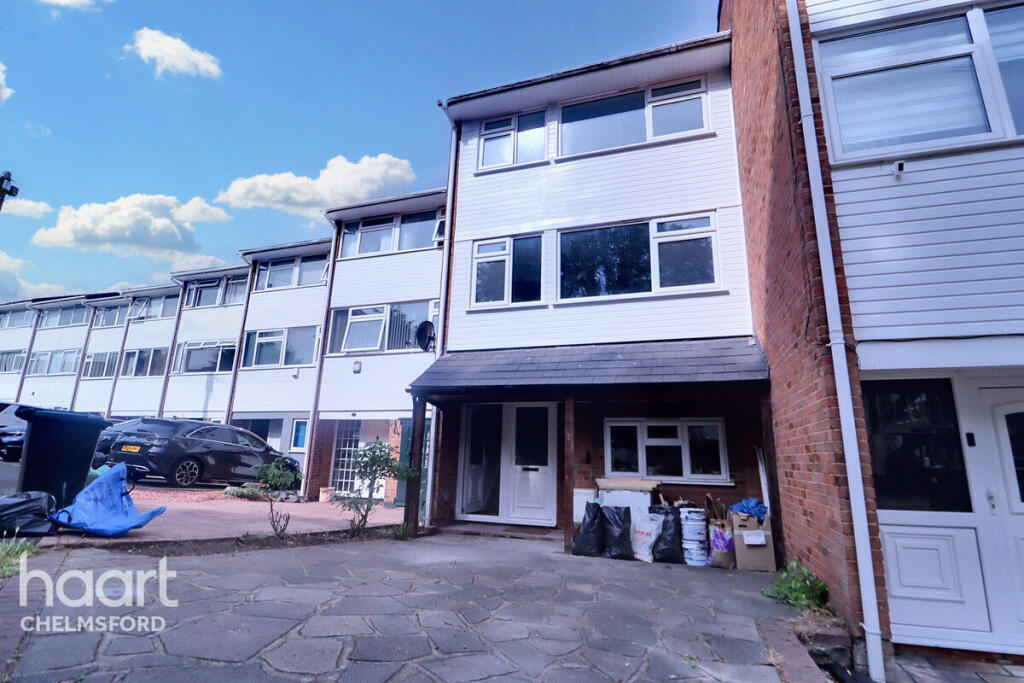
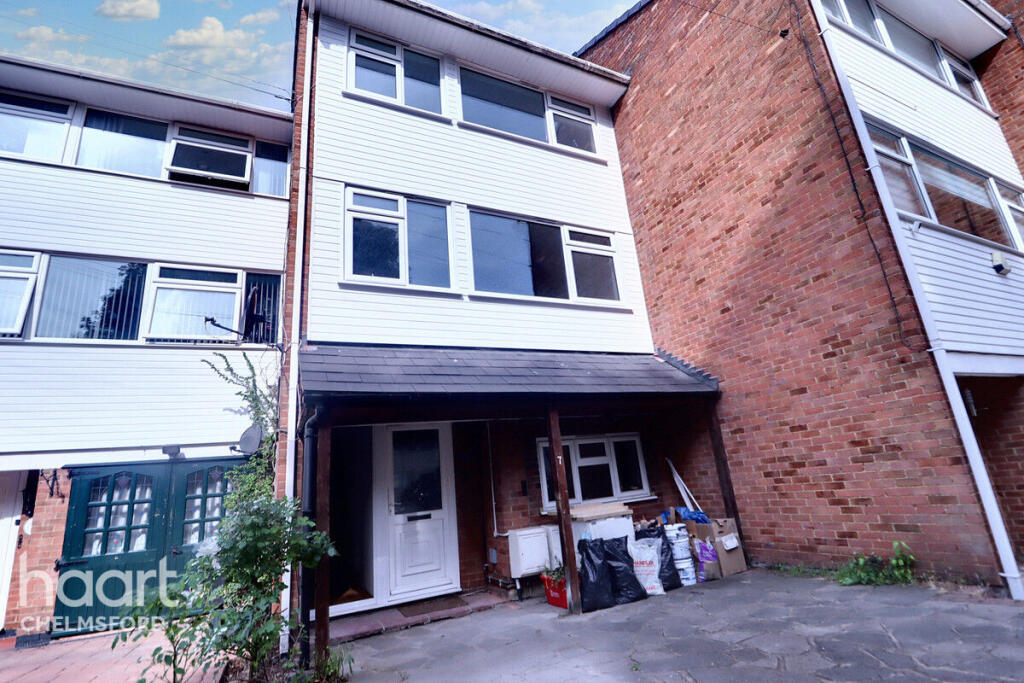
Leonard Way, BRENTWOOD
By haart
£ 1,500
haart says ..
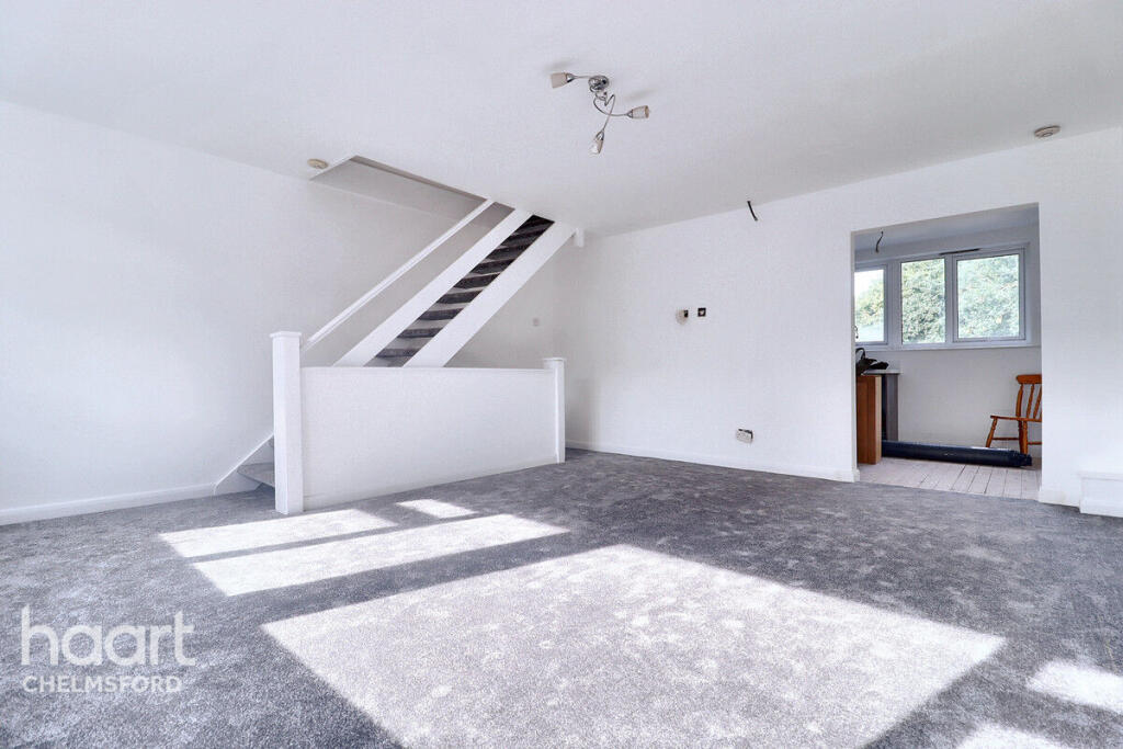
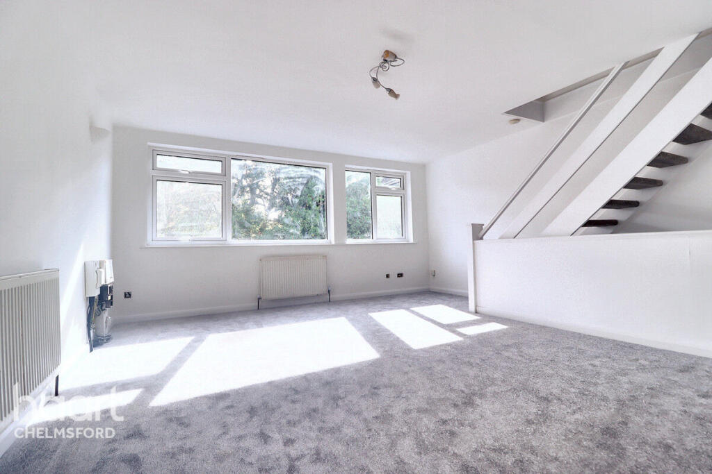
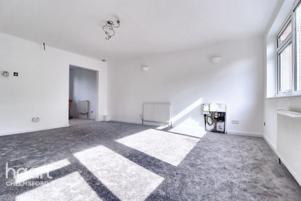
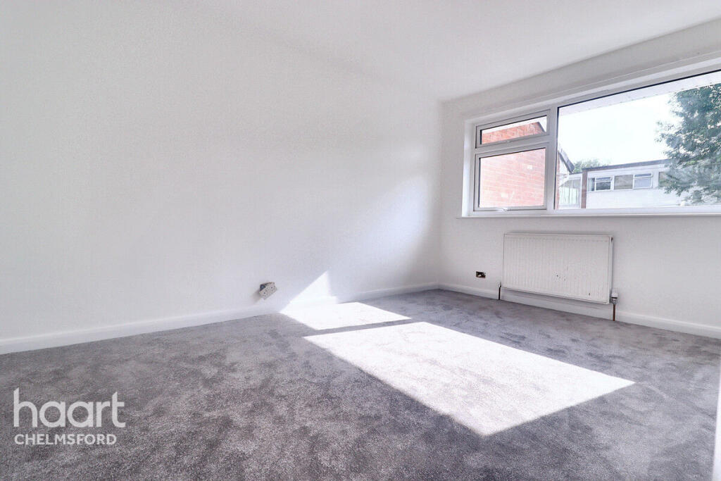
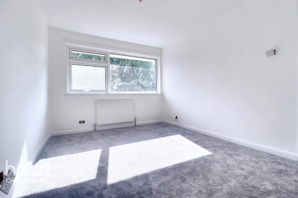
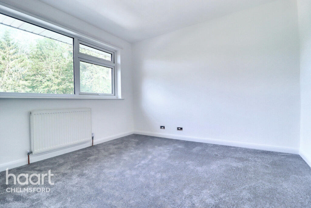
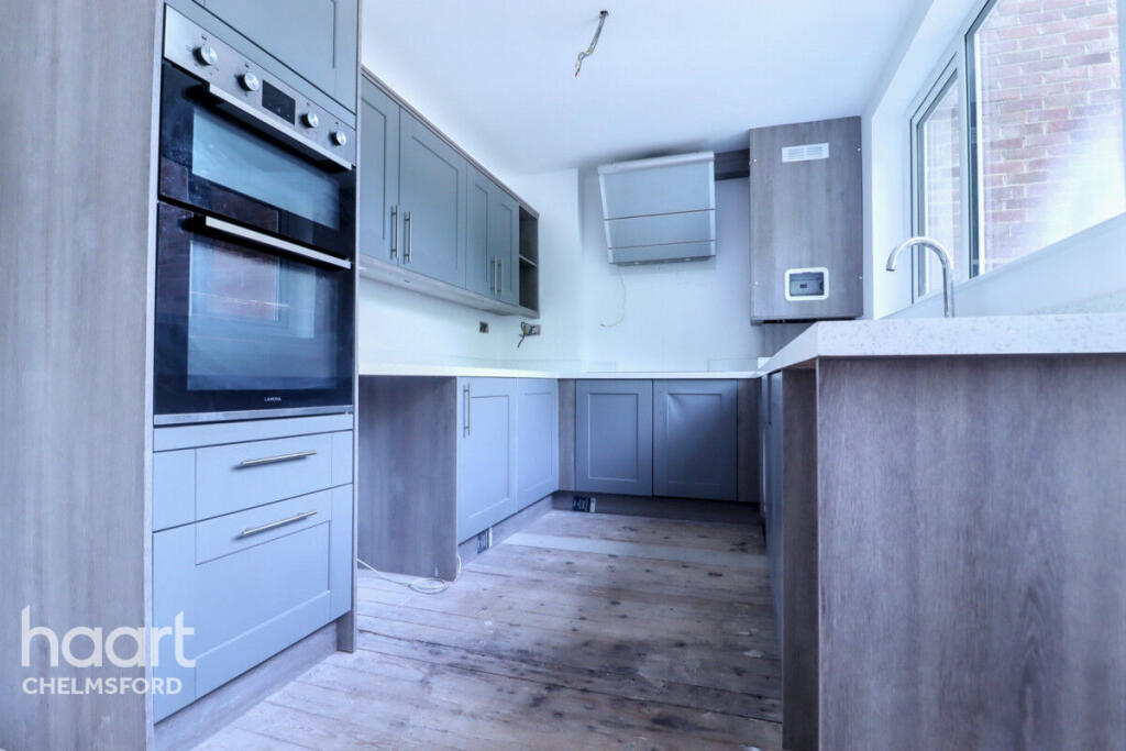
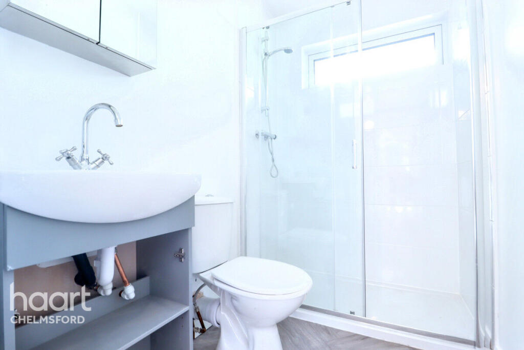
Spacious & Modern 3-Bedroom Maisonette – Newly Refurbished, Unfurnished, with White Goods – Quiet Brentwood Location
- Bedrooms
- 3
- Bathrooms
- 1
The heatmap indicates the level of crime in the area. The color of the heatmap indicates the crime severity and recency.
Metrics Year-on-Year
- Average area value
- 547,000.00 £Decreased by 8.72 %
- Average area rental value
- 1,401.00 £/moDecreased by 1.27 %
- Est rental Yield
- 3.07 %Increased by 8.10 %
- Crime Rate
- 212.00 %Unchanged by 0.00 %
from 599,278.00 £
from 1,419.00 £/mo
from 2.84 %
from 212.00 %
Agent Activity
haart created the listing.
Nearby Schools
| Name | Type | Ofsted | Distance |
|---|---|---|---|
| St Peter'S Church Of England Voluntary Aided Primary School, South Weald | Voluntary Aided School | Outstanding | 0.94 KM |
| Holly Trees Primary School | Community School | Good | 1.95 KM |
| Ursuline Preparatory School | Other Independent School | 2.26 KM | |
| Larchwood Primary School | Academy Sponsor Led | Outstanding | 2.99 KM |
| Bre1 Larchwood Gardens Family Hub | Children's Centre | 2.99 KM |
Images


Nearby Streets
| Name | Average Price | Average Sqft | Distance |
|---|---|---|---|
| River Road | £ 400,000 | 0 | 0.00 KM |
| The Grove | £ 1,100,000 | 0 | 0.00 KM |
| London Road | £ 1,120,000 | 0 | 0.00 KM |
Nearby Transport
| Name | NLC | TLC | Distance |
|---|---|---|---|
| Brentwood | 6872 | BRE | 2.96 KM |
| Harold Wood | 6879 | HRO | 4.94 KM |
| Upminster | 7464 | UPM | 6.49 KM |
| Shenfield | 6888 | SNF | 6.61 KM |
| Emerson Park | 7473 | EMP | 7.65 KM |
Nearby Listings
| Address | Price | Type | Score | Distance |
|---|---|---|---|---|
| Leonard Way, BRENTWOOD | £ 1,500 | RENT | Unknown | 0.00 KM |
| River Road, Brentwood, Essex, CM14 | £ 1,500 | RENT | Unknown | 0.05 KM |
| Talbrook, BRENTWOOD | £ 2,800 | RENT | Unknown | 0.44 KM |
| Talbrook, Brentwood, Essex, CM14 | £ 3,800 | RENT | Unknown | 0.46 KM |
| Mascalls Lane, Brentwood, Essex, CM14 | £ 1,950 | RENT | Unknown | 0.48 KM |
Nearby Properties
| Address | Price | Distance |
|---|---|---|
| 7 Leonard Way | £ 129,950 | 0.04 KM |
| 6 Leonard Way | £ 375,000 | 0.04 KM |
| 1 Leonard Way | £ 385,000 | 0.04 KM |
| 9 Leonard Way | £ 400,000 | 0.04 KM |
| 3 Leonard Way | £ 329,995 | 0.04 KM |