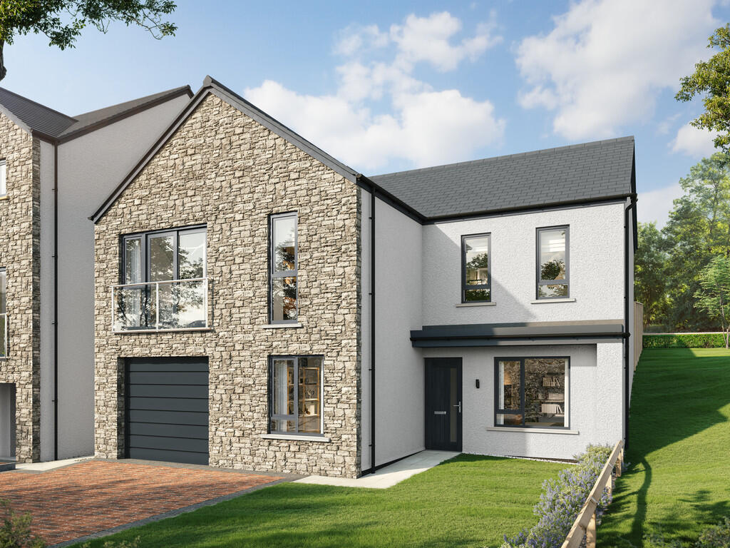

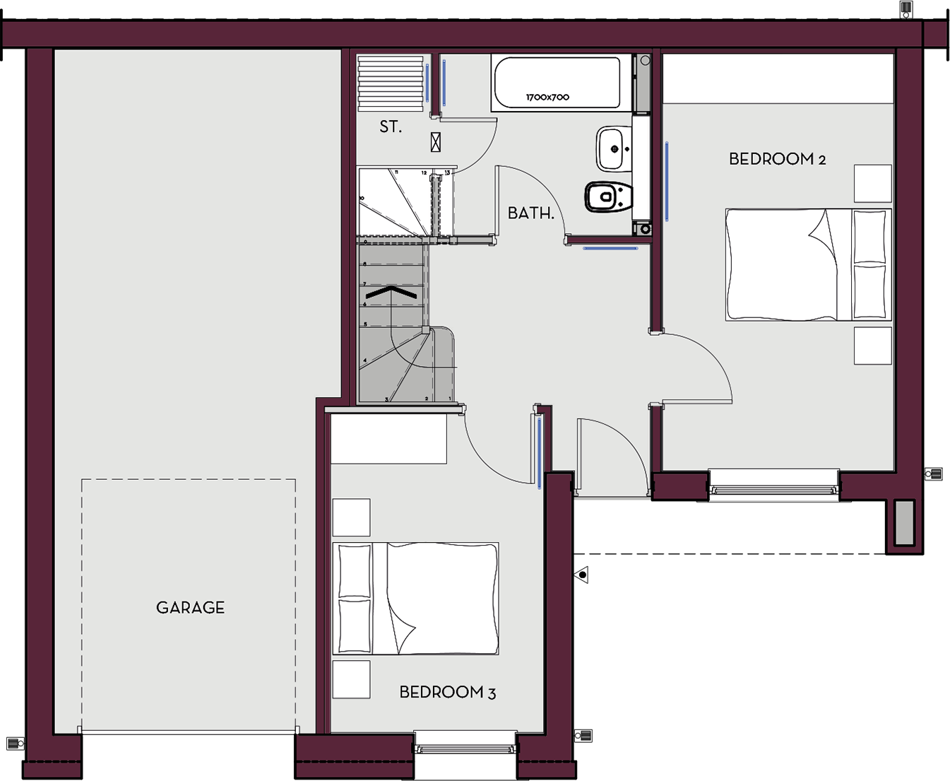
Plot 10 'The Middleton', Lunesdale Rise, Kirkby Lonsdale, LA6 2FQ
By Hackney & Leigh
£ 575,000
Hackney & Leigh says ..
Property located in Plot 10 'The Middleton', Lunesdale Rise, Kirkby Lonsdale, LA6 2FQ
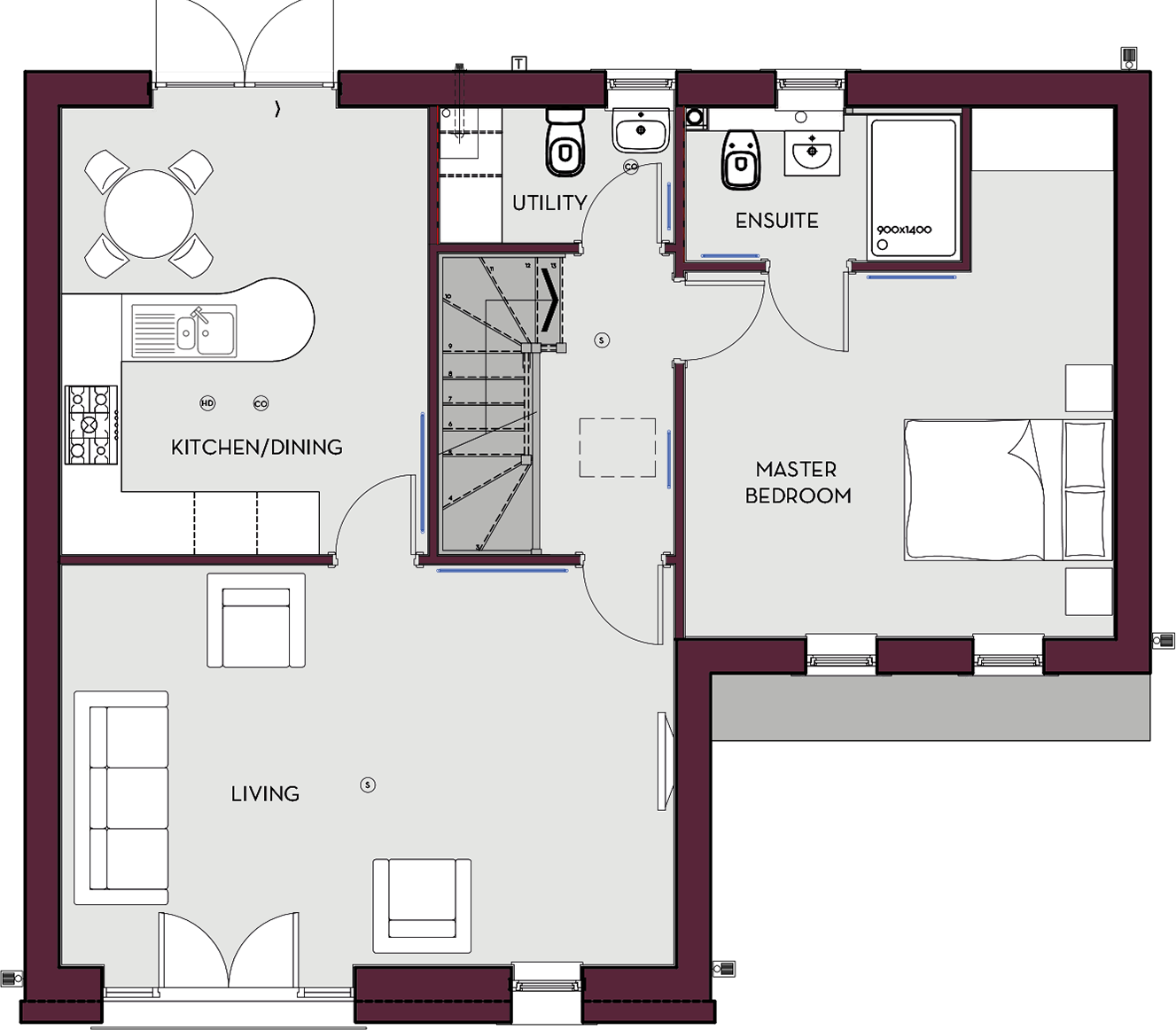
- Bedrooms
- 3
- Bathrooms
- 2
The heatmap indicates the level of crime in the area. The color of the heatmap indicates the crime severity and recency.
Metrics Year-on-Year
- Average area value
- 603,889.00 £Increased by 40.02 %
- Average area rental value
- 1,340.00 £/moIncreased by 1.44 %
- Est rental Yield
- 2.66 %Decreased by 27.72 %
- Crime Rate
- 5.00 %Unchanged by 0.00 %
from 431,274.00 £
from 1,321.00 £/mo
from 3.68 %
from 5.00 %
Agent Activity
Hackney & Leigh created the listing.
Nearby Schools
| Name | Type | Ofsted | Distance |
|---|---|---|---|
| St Mary'S Cofe Primary School | Voluntary Aided School | Good | 0.51 KM |
| Queen Elizabeth School | Academy Converter | 0.62 KM | |
| Queen Elizabeth Studio School | Studio Schools | 0.62 KM | |
| Underley Garden School | Other Independent Special School | Outstanding | 2.36 KM |
| Casterton, Sedbergh Preparatory School | Other Independent School | 3.95 KM |
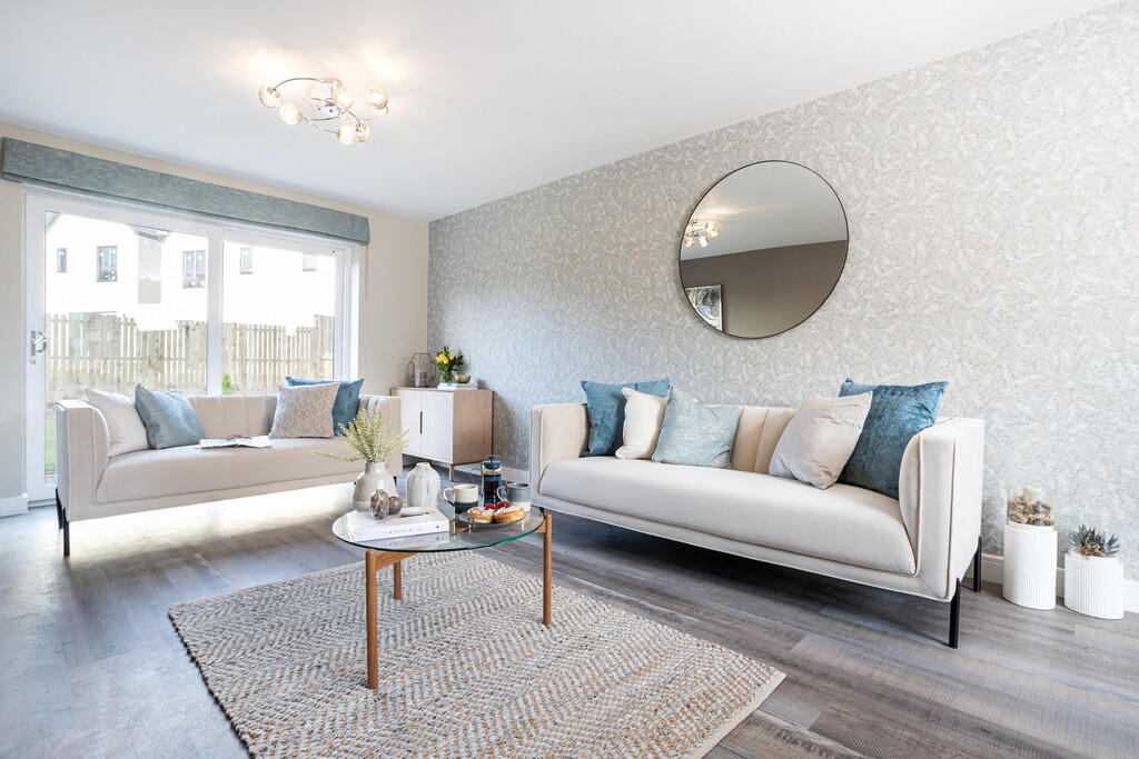
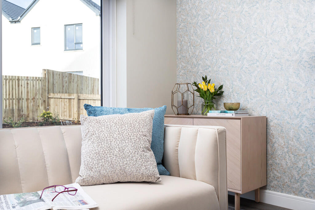
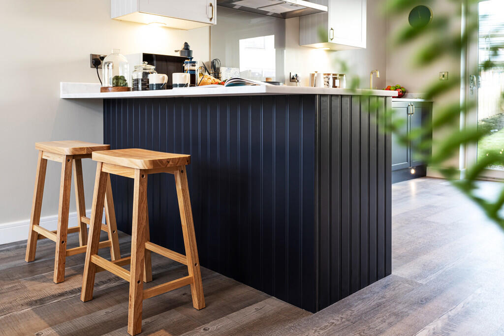
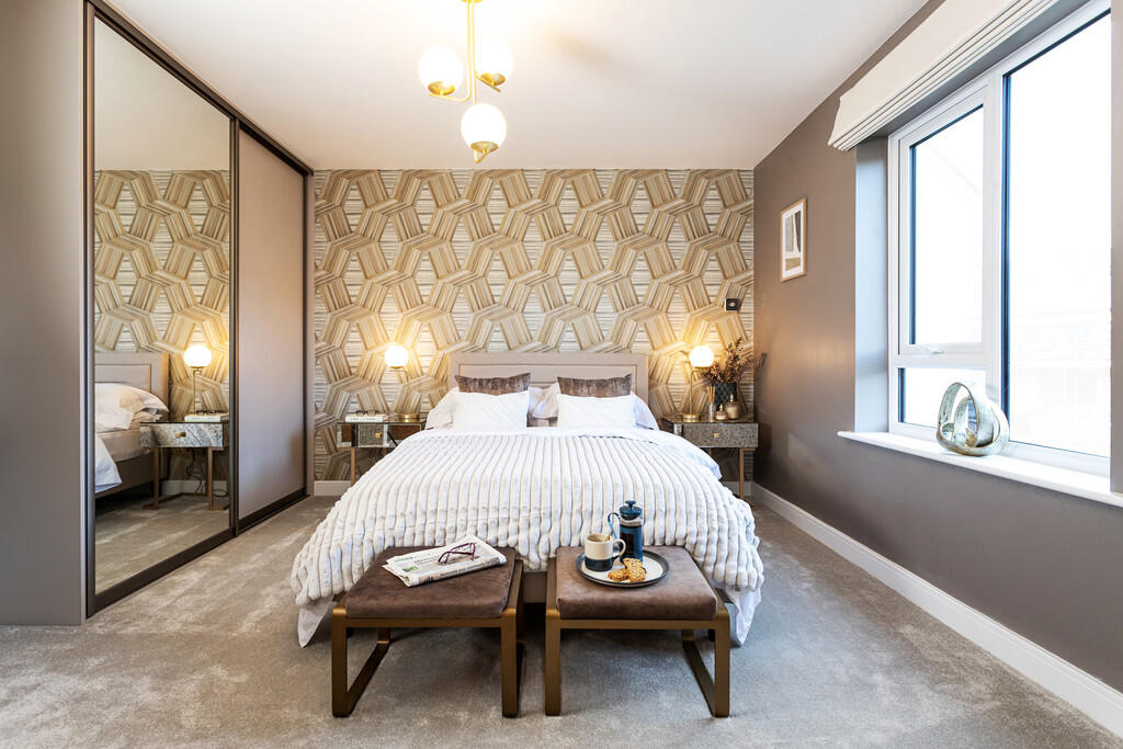
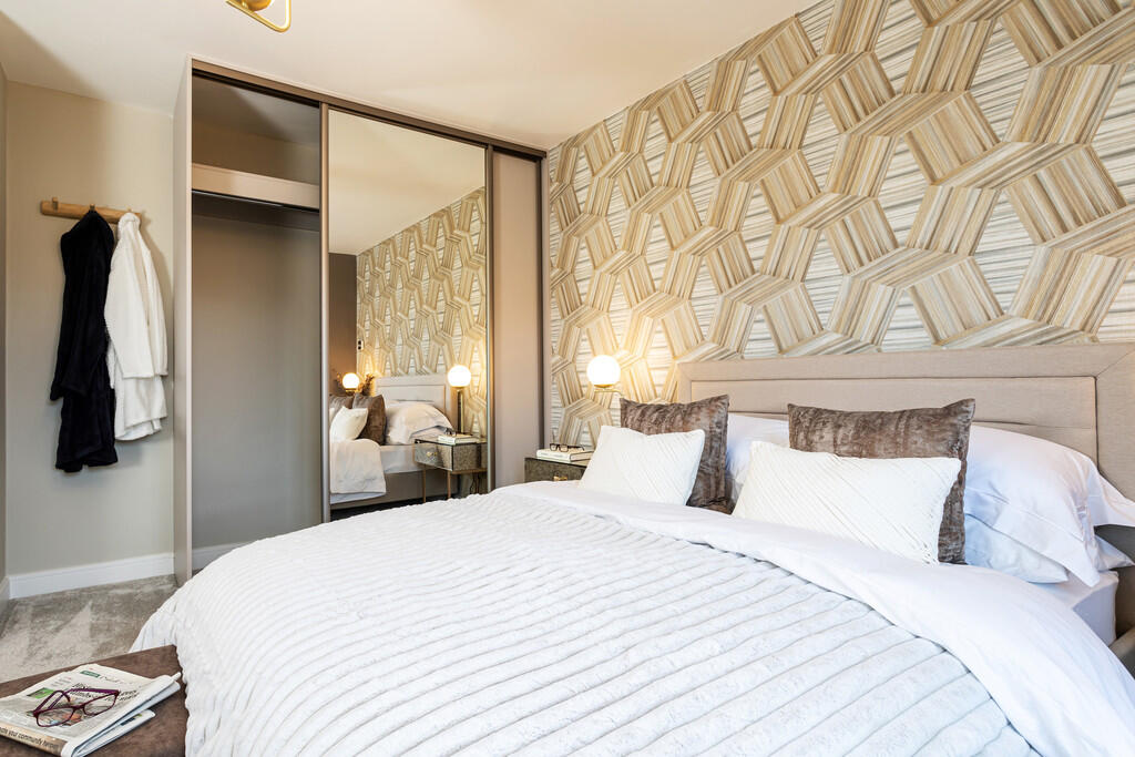
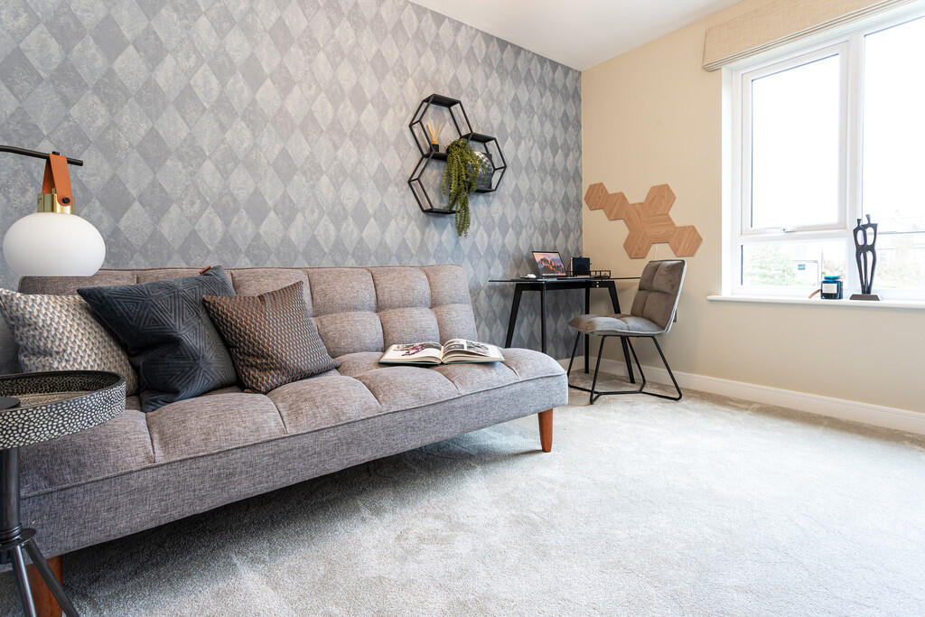
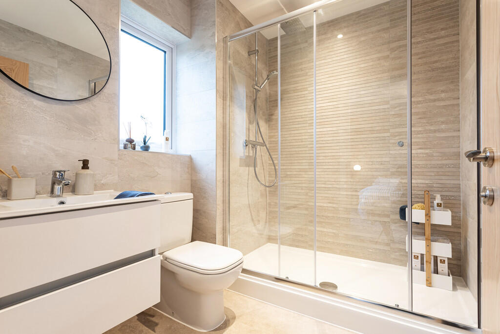
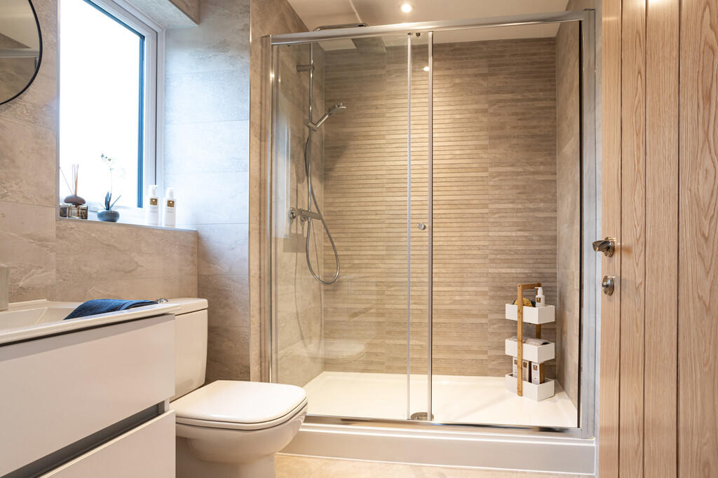
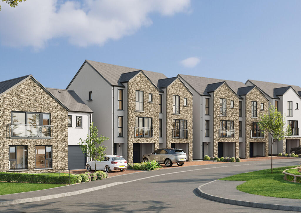
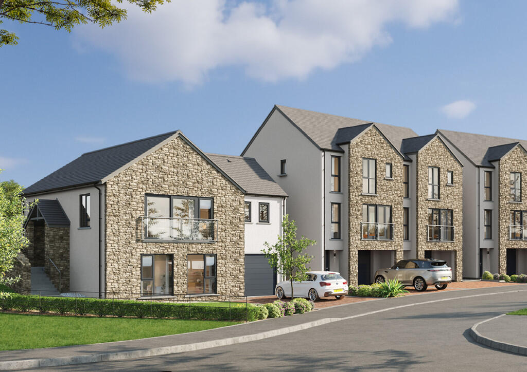
Images
Nearby Streets
| Name | Average Price | Average Sqft | Distance |
|---|---|---|---|
| Kittygill Lane | £ 0 | 0 | 0.00 KM |
| Modera Fold | £ 0 | 0 | 0.00 KM |
| Pit Lane | £ 775,000 | 0 | 0.00 KM |
| Dodgson Croft | £ 167,500 | 0 | 0.00 KM |
| B6254 | £ 1,200,000 | 0 | 0.00 KM |
Nearby Transport
| Name | NLC | TLC | Distance |
|---|---|---|---|
| Wennington | 2681 | WNN | 9.03 KM |
Nearby Listings
| Address | Price | Type | Score | Distance |
|---|---|---|---|---|
| Plot 10 'The Middleton', Lunesdale Rise, Kirkby Lonsdale, LA6 2FQ | £ 575,000 | BUY | Unknown | 0.00 KM |
| Plot 1 'The Dalton', Lunsedale Rise, Kirkby Lonsdale, LA6 2FQ | £ 675,000 | BUY | 6 / 10 | 0.04 KM |
| Plot 3 'The Millfield A', Lunesdale Rise, Kirkby Lonsdale, LA6 2FQ | £ 495,000 | BUY | Unknown | 0.04 KM |
| Plot 6 'The Millfield B', Lunesdale Rise, Kirkby Lonsdale, LA6 2FQ | £ 490,000 | BUY | 7 / 10 | 0.05 KM |
| HALSTEADS, LOW BIGGINS, LA6 2DH | £ 575,000 | BUY | 7 / 10 | 0.30 KM |
Nearby Properties
| Address | Price | Distance |
|---|---|---|
| 4 Follet Close | £ 220,000 | 0.53 KM |
| 22 Harling Bank | £ 325,000 | 0.64 KM |
| 9 Harling Bank | £ 90,000 | 0.64 KM |
| 14 Harling Bank | £ 300,000 | 0.64 KM |
| 11 Defoe Drive | £ 368,000 | 0.69 KM |