KI
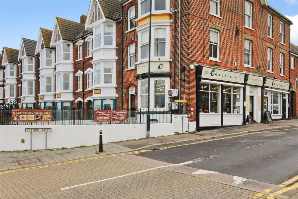
Station Road, Herne Bay
By KimberWoodward
£ 150,000
KimberWoodward says ..
No summary available.
- Bedrooms
- 1
- Bathrooms
- 1
The heatmap indicates the level of crime in the area. The color of the heatmap indicates the crime severity and recency.
Metrics Year-on-Year
- Average area value
- 316,612.00 £Decreased by 3.71 %
- Average area rental value
- 1,188.00 £/moIncreased by 4.39 %
- Est rental Yield
- 4.50 %Increased by 8.43 %
- Crime Rate
- 32.00 %Unchanged by 0.00 %
from 328,818.00 £
from 1,138.00 £/mo
from 4.15 %
from 32.00 %
Agent Activity
KimberWoodward created the listing.
Nearby Schools
| Name | Type | Ofsted | Distance |
|---|---|---|---|
| The Poppy Children'S Centre | Children's Centre | 0.48 KM | |
| Fairlight Glen Independent Special School | Other Independent Special School | Good | 0.56 KM |
| Herne Bay Infant School | Community School | Good | 0.94 KM |
| Herne Bay Junior School | Foundation School | Good | 0.94 KM |
| Herne Bay High School | Academy Converter | Good | 1.48 KM |
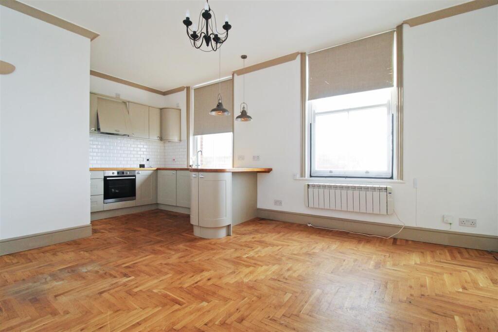
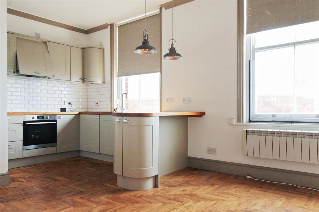
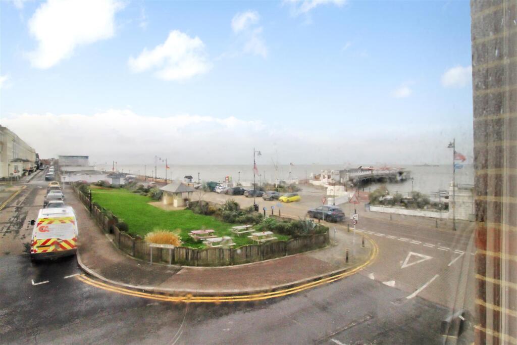
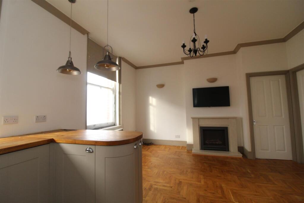
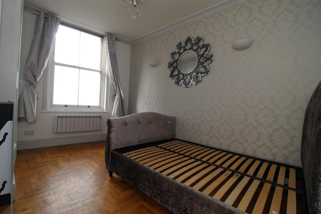
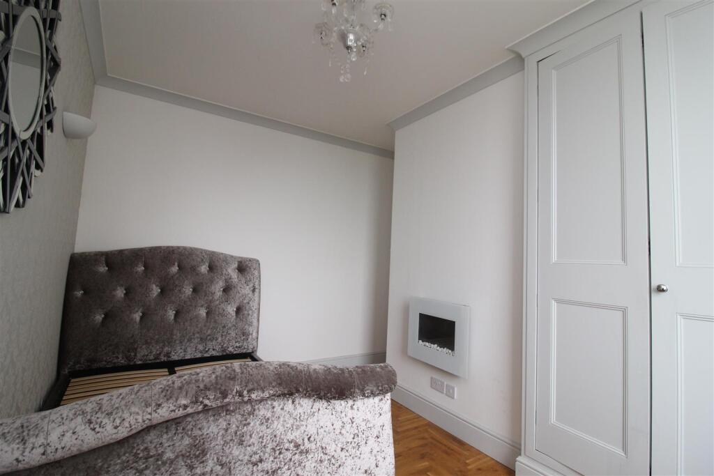
Images

Nearby Streets
| Name | Average Price | Average Sqft | Distance |
|---|---|---|---|
| Richmond Mews | £ 240,000 | 0 | 0.00 KM |
| Queen Street | £ 0 | 0 | 0.00 KM |
| Prospect Hill | £ 662,500 | 0 | 0.00 KM |
| North Street | £ 0 | 0 | 0.00 KM |
| Orchard Road | £ 0 | 0 | 0.00 KM |
Nearby Transport
| Name | NLC | TLC | Distance |
|---|---|---|---|
| Herne Bay | 5174 | HNB | 0.89 KM |
| Chestfield And Swalecliffe | 5200 | CSW | 6.15 KM |
| Sturry | 5029 | STU | 7.86 KM |
| Whitstable | 5196 | WHI | 9.86 KM |
Nearby Listings
| Address | Price | Type | Score | Distance |
|---|---|---|---|---|
| Station Road, Herne Bay | £ 150,000 | BUY | Unknown | 0.00 KM |
| Station Road, Herne Bay | £ 150,000 | BUY | Unknown | 0.00 KM |
| Station Road, Herne Bay, Kent | £ 160,000 | BUY | 5 / 10 | 0.01 KM |
| High Street, Herne Bay | £ 130,000 | BUY | 5 / 10 | 0.07 KM |
| Central Parade, Herne Bay, CT6 | £ 875,000 | BUY | 7 / 10 | 0.09 KM |
Nearby Properties
| Address | Price | Distance |
|---|---|---|
| 9a High Street | £ 135,000 | 0.10 KM |
| 11 High Street | £ 49,995 | 0.10 KM |
| 7a High Street | £ 118,000 | 0.10 KM |
| 23a High Street | £ 60,000 | 0.10 KM |
| 145b Station Road | £ 94,000 | 0.13 KM |