
NO
High Street, West Cowick, Goole, DN14
By Northwood
£ 299,500
Northwood says ..
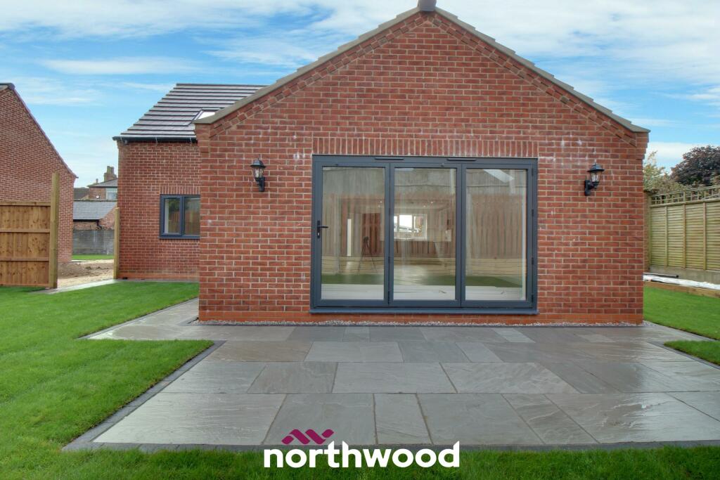
Local Builders with many years experience, 10 years warranty
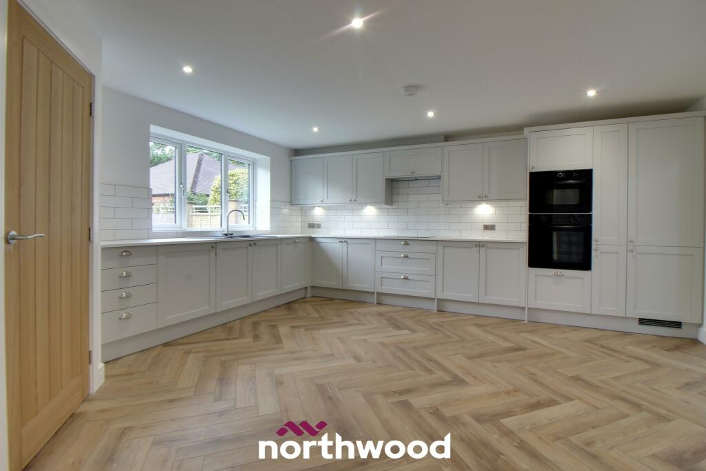
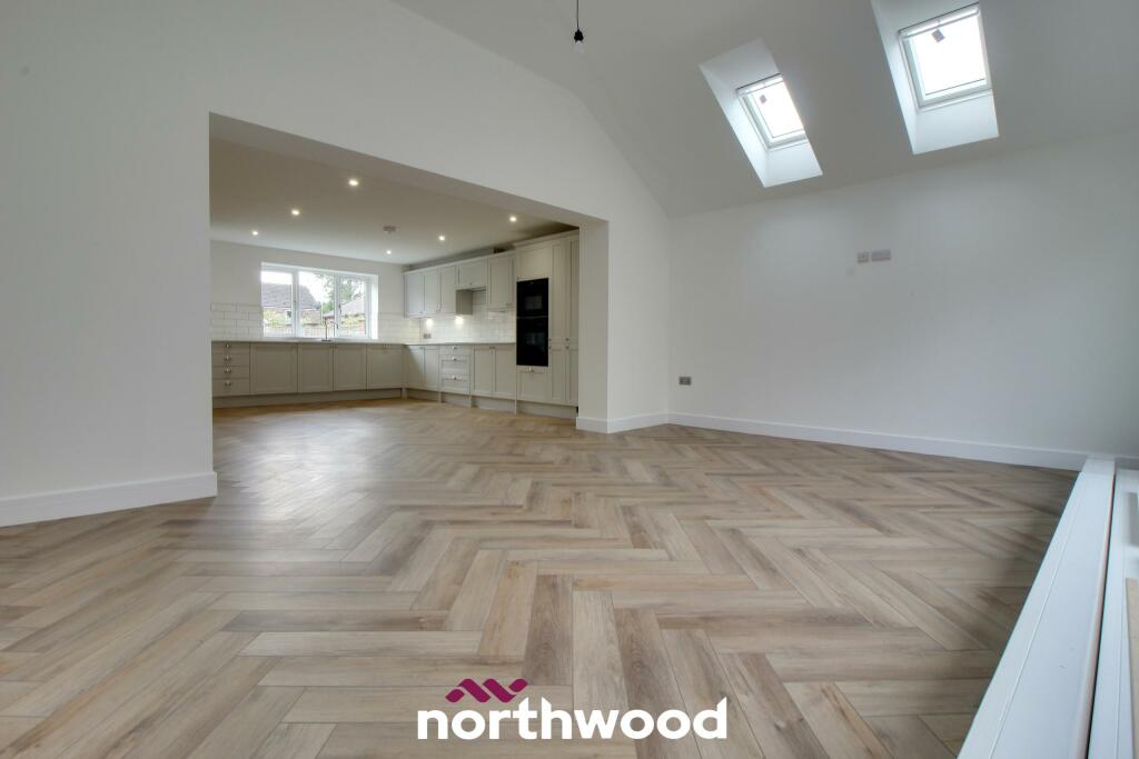
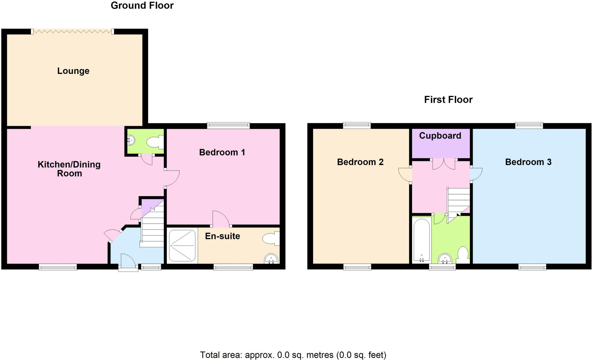
- Bedrooms
- 3
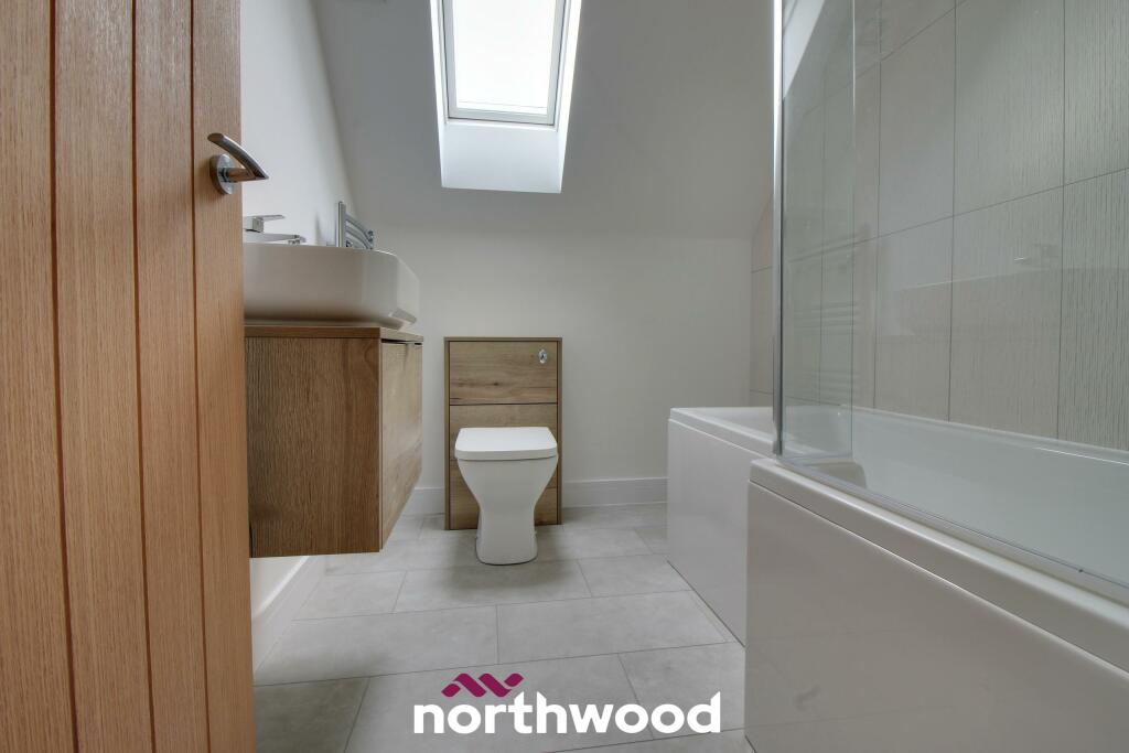
- Bathrooms
- 2
The heatmap indicates the level of crime in the area. The color of the heatmap indicates the crime severity and recency.
Metrics Year-on-Year
- Average area value
- 237,217.00 £Increased by 16.51 %
- Average area rental value
- 1,179.00 £/moIncreased by 11.23 %
- Est rental Yield
- 5.96 %Decreased by 4.64 %
- Crime Rate
- 18.00 %Unchanged by 0.00 %
from 203,609.00 £
from 1,060.00 £/mo
from 6.25 %
from 18.00 %
Agent Activity
Northwood created the listing.
Nearby Schools
| Name | Type | Ofsted | Distance |
|---|---|---|---|
| Snaith Primary School | Community School | Outstanding | 1.49 KM |
| The Snaith School | Academy Converter | Good | 1.92 KM |
| Cowick Church Of England Voluntary Controlled Primary School | Voluntary Controlled School | Good | 2.19 KM |
| Carlton Primary School | Academy Converter | 2.90 KM | |
| Holy Family Catholic High School, A Voluntary Academy | Academy Converter | 3.19 KM |
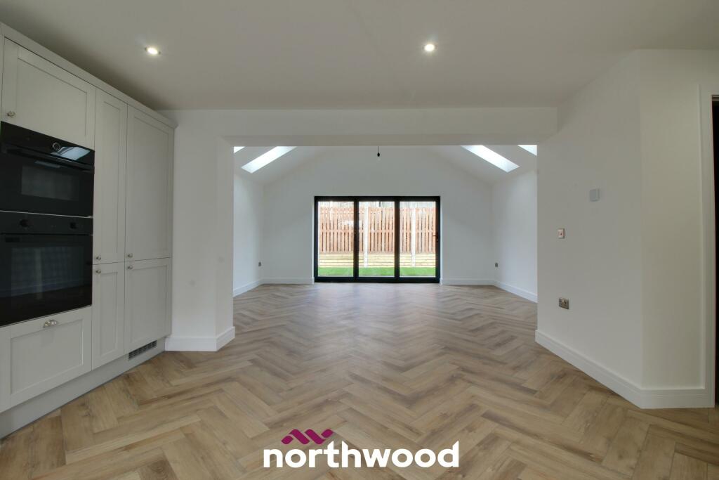
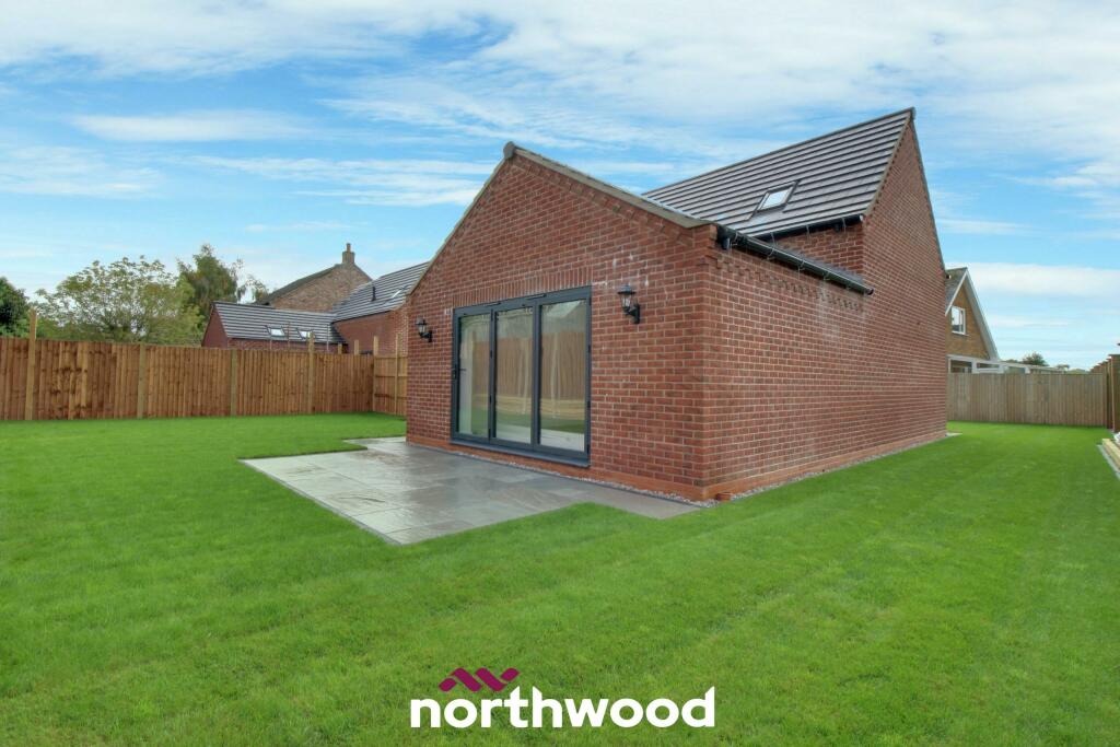
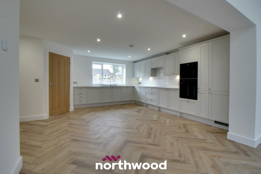
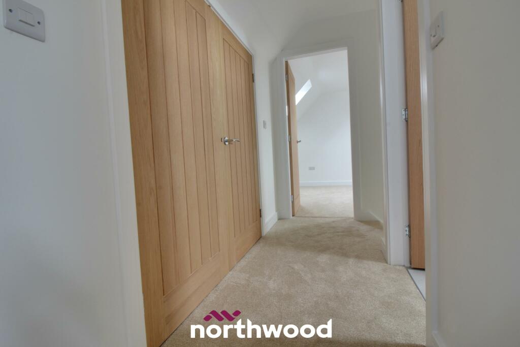
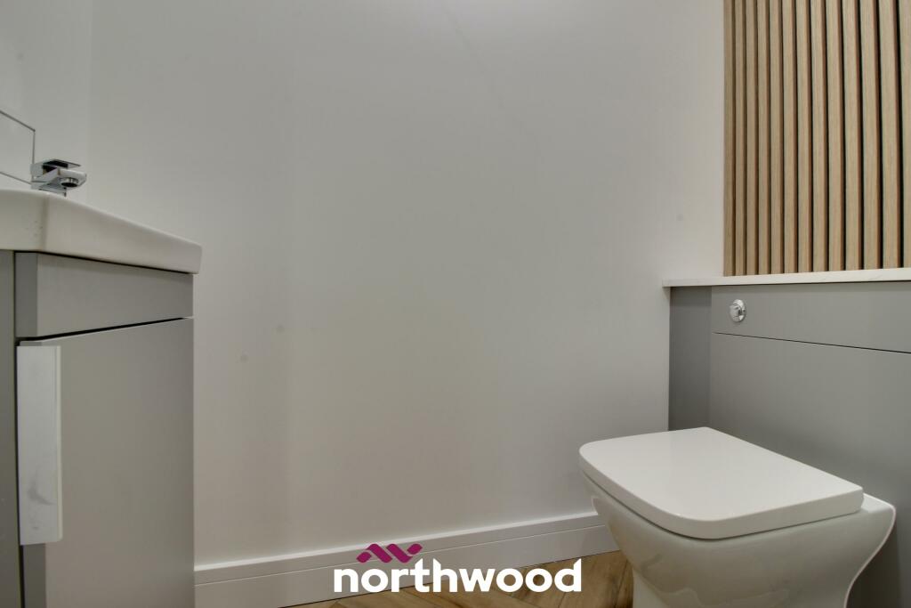
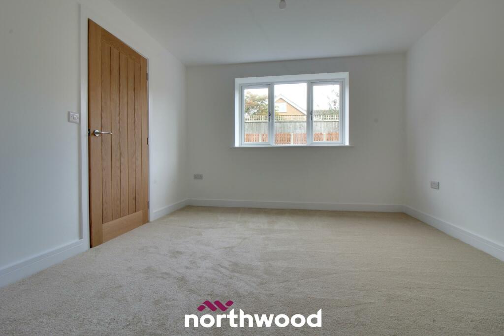
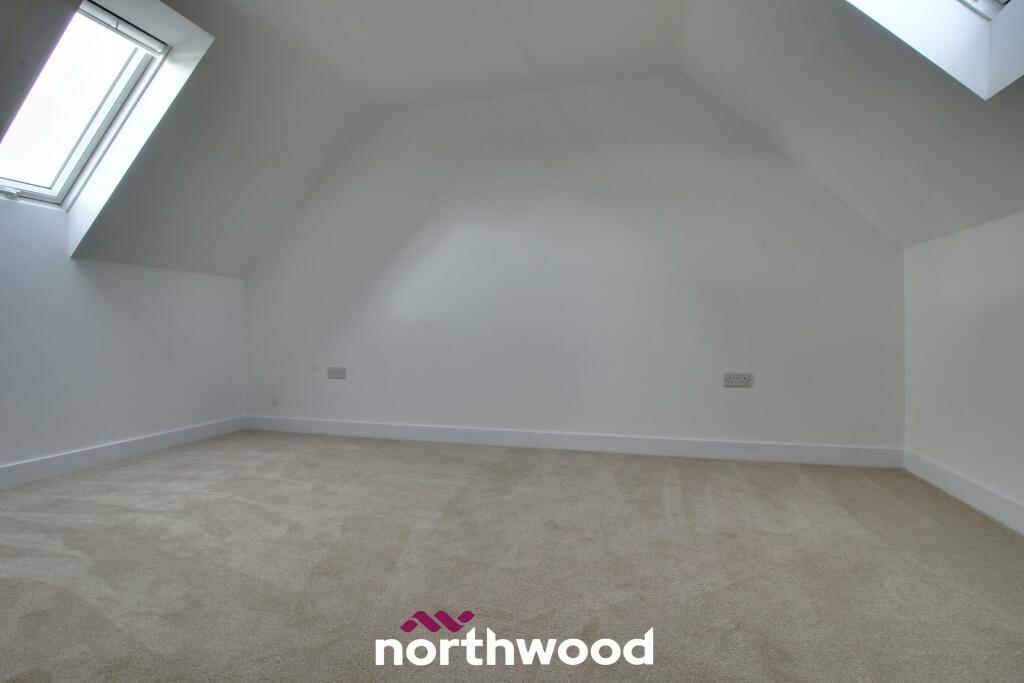
Images


Nearby Streets
| Name | Average Price | Average Sqft | Distance |
|---|---|---|---|
| Halifax Close | £ 0 | 0 | 0.00 KM |
| Finnley's Lane | £ 385,000 | 0 | 0.00 KM |
| Hoggard Lane | £ 400,000 | 0 | 0.00 KM |
| Darley Close | £ 0 | 0 | 0.00 KM |
| Clayton Drive | £ 0 | 0 | 0.00 KM |
Nearby Transport
| Name | NLC | TLC | Distance |
|---|---|---|---|
| Snaith | 8036 | SNI | 1.24 KM |
| Rawcliffe | 8031 | RWC | 6.47 KM |
| Thorne North | 6530 | TNN | 9.42 KM |
Nearby Listings
| Address | Price | Type | Score | Distance |
|---|---|---|---|---|
| High Street, West Cowick, Goole, DN14 | £ 299,500 | BUY | Unknown | 0.00 KM |
| High Street, West Cowick, Goole. | £ 540,000 | BUY | 7 / 10 | 0.01 KM |
| Waddington Drive, Snaith, DN14 9FA | £ 380,000 | BUY | Unknown | 0.27 KM |
| Flarepath Close, Snaith, DN14 9 | £ 330,000 | BUY | 7 / 10 | 0.27 KM |
| Johnson Drive, Snaith, DN14 9 | £ 290,000 | BUY | 7 / 10 | 0.30 KM |
Nearby Properties
| Address | Price | Distance |
|---|---|---|
| 15 - 17 High Street | £ 230,000 | 0.00 KM |
| 68 High Street | £ 203,000 | 0.00 KM |
| 47 High Street | £ 175,000 | 0.00 KM |
| 43 High Street | £ 108,000 | 0.00 KM |
| 57 High Street | £ 282,000 | 0.00 KM |