LU
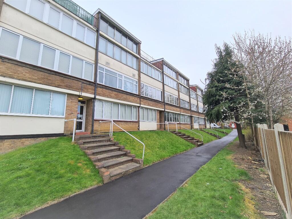
Swanston Grange, Dunstable Road, Luton, Bedfordshire, LU4
By Luton Heights Ltd
£ 845
Luton Heights Ltd says ..
ONE BEDROOM FLAT AVAILABLE SOON, CLOSE TO L&D HOSPITAL
- Bedrooms
- 1
- Bathrooms
- 1
The heatmap indicates the level of crime in the area. The color of the heatmap indicates the crime severity and recency.
Metrics Year-on-Year
- Average area value
- 314,374.00 £Increased by 3.64 %
- Average area rental value
- 1,413.00 £/moIncreased by 22.87 %
- Est rental Yield
- 5.39 %Increased by 18.46 %
- Crime Rate
- 16.00 %Unchanged by 0.00 %
from 303,333.00 £
from 1,150.00 £/mo
from 4.55 %
from 16.00 %
Agent Activity
Luton Heights Ltd created the listing.
Nearby Schools
| Name | Type | Ofsted | Distance |
|---|---|---|---|
| The Ferrars Academy | Academy Converter | Good | 0.57 KM |
| Ferrars Junior School | Community School | Good | 0.60 KM |
| Leagrave Primary School | Foundation School | Outstanding | 1.07 KM |
| Challney High School For Boys | Academy Converter | 1.07 KM | |
| Al Hikmah Boys School | Other Independent School | 1.15 KM |
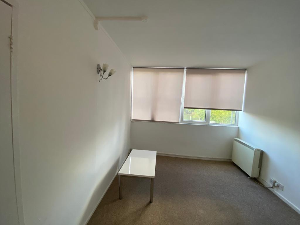
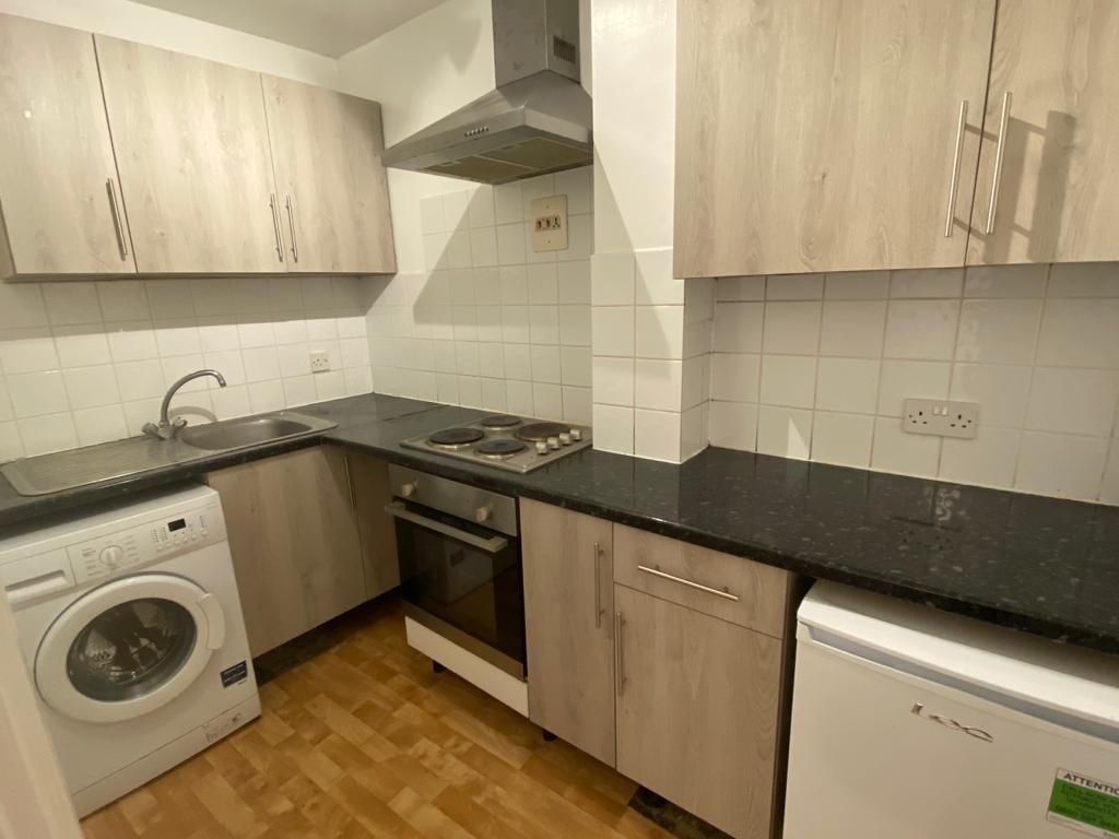
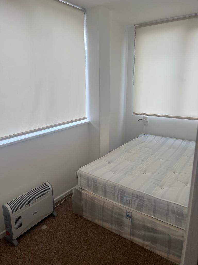
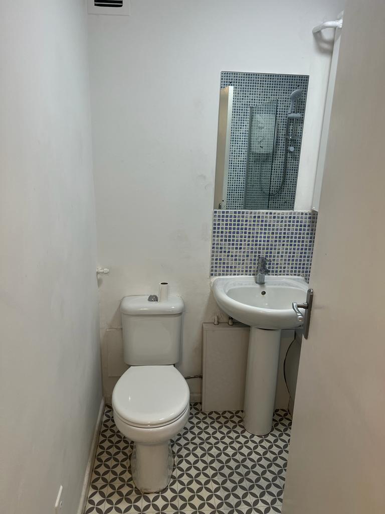
Images
Nearby Streets
| Name | Average Price | Average Sqft | Distance |
|---|---|---|---|
| Poets Mews | £ 0 | 0 | 0.00 KM |
| Angus Close | £ 0 | 0 | 0.00 KM |
| Westerdale | £ 0 | 0 | 0.00 KM |
| Green Close | £ 130,000 | 0 | 0.00 KM |
| Home Close | £ 300,000 | 0 | 0.00 KM |
Nearby Transport
| Name | NLC | TLC | Distance |
|---|---|---|---|
| Leagrave | 1534 | LEA | 2.44 KM |
| Luton | 1536 | LUT | 7.05 KM |
| Harlington (Bedfordshire) | 1533 | HLN | 7.96 KM |
| Luton Airport Parkway | 3645 | LTN | 9.24 KM |
Nearby Listings
| Address | Price | Type | Score | Distance |
|---|---|---|---|---|
| Dunstable Road, LUTON | £ 900 | RENT | Unknown | 0.00 KM |
| Swanston Grange, LUTON | £ 850 | RENT | Unknown | 0.00 KM |
| Swanston Grange | £ 950 | RENT | Unknown | 0.00 KM |
| Swanston Grange, Dunstable Road, Luton, Bedfordshire, LU4 | £ 845 | RENT | Unknown | 0.00 KM |
| Dunstable Road, Luton | £ 825 | RENT | Unknown | 0.01 KM |
Nearby Properties
| Address | Price | Distance |
|---|---|---|
| 743 Dunstable Road | £ 56,000 | 0.06 KM |
| 777 Dunstable Road | £ 120,000 | 0.06 KM |
| 783 Dunstable Road | £ 190,000 | 0.06 KM |
| 775 Dunstable Road | £ 147,995 | 0.06 KM |
| 806 Dunstable Road | £ 56,000 | 0.07 KM |