BA
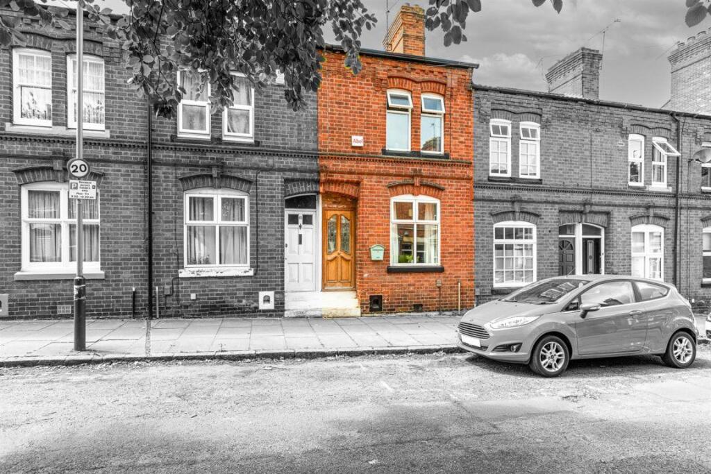
St Leonards Road, Leicester
By Barkers
£ 1,150
Barkers says ..
No summary available.
- Bedrooms
- 2
- Bathrooms
- 0
The heatmap indicates the level of crime in the area. The color of the heatmap indicates the crime severity and recency.
Metrics Year-on-Year
- Average area value
- 273,747.00 £Decreased by 7.23 %
- Average area rental value
- 1,032.00 £/moDecreased by 0.77 %
- Est rental Yield
- 4.52 %Increased by 6.86 %
- Crime Rate
- 4.00 %Unchanged by 0.00 %
from 295,097.00 £
from 1,040.00 £/mo
from 4.23 %
from 4.00 %
Agent Activity
Barkers created the listing.
Nearby Schools
| Name | Type | Ofsted | Distance |
|---|---|---|---|
| Avenue Primary School | Community School | Good | 0.30 KM |
| Wqe And Regent College Group | Further Education | 0.39 KM | |
| University Of Leicester | Higher Education Institutions | 0.65 KM | |
| St Crispin'S School | Other Independent School | 0.65 KM | |
| St John The Baptist Cofe Primary School | Voluntary Aided School | Requires improvement | 0.77 KM |
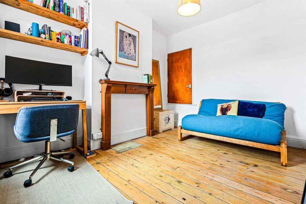
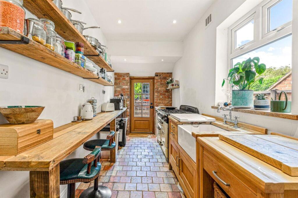
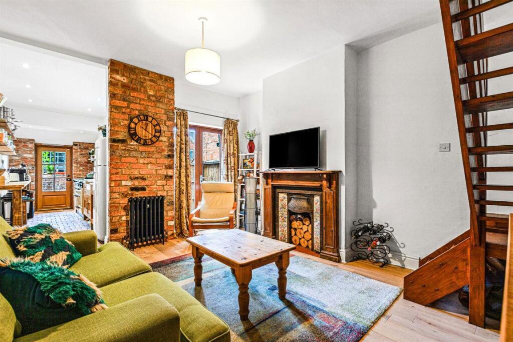
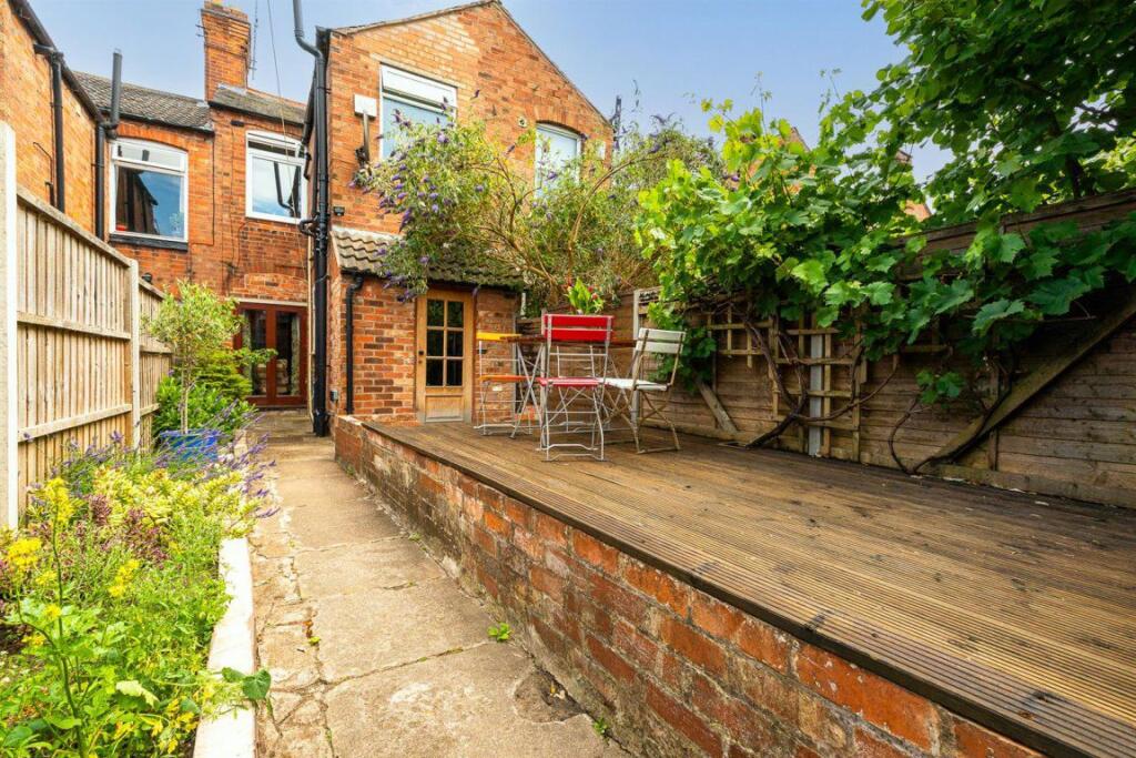
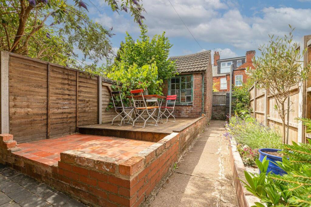
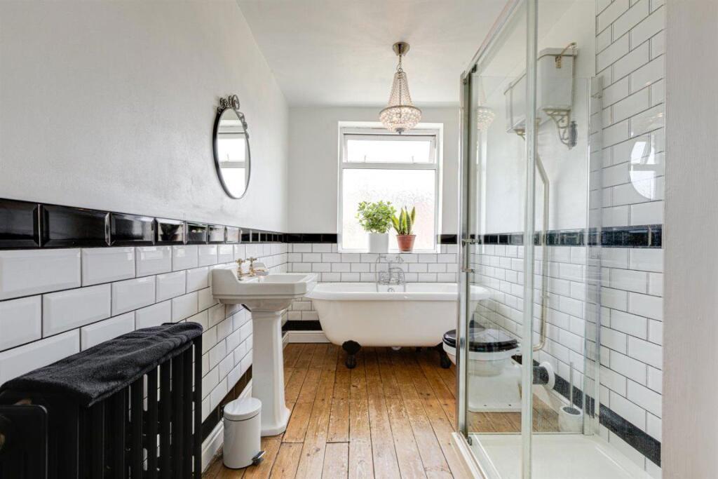
Images


Nearby Streets
| Name | Average Price | Average Sqft | Distance |
|---|---|---|---|
| Oxford Road | £ 375,000 | 0 | 0.00 KM |
| Portland Road | £ 0 | 0 | 0.00 KM |
| Avenue Road Extension | £ 240,000 | 0 | 0.00 KM |
| Greenhill Road | £ 0 | 0 | 0.00 KM |
| Queens Road | £ 271,667 | 0 | 0.00 KM |
Nearby Transport
| Name | NLC | TLC | Distance |
|---|---|---|---|
| Leicester | 1947 | LEI | 1.67 KM |
| South Wigston | 1949 | SWS | 4.19 KM |
| Syston | 1900 | SYS | 9.53 KM |
Nearby Listings
| Address | Price | Type | Score | Distance |
|---|---|---|---|---|
| St Leonards Road, Leicester | £ 1,150 | RENT | Unknown | 0.00 KM |
| St Leonards Road, Leicester LE2 1WT | £ 360 | RENT | Unknown | 0.01 KM |
| Hartopp Road, Leicester | £ 270 | RENT | Unknown | 0.04 KM |
| St Leonards Road, Leicester | £ 1,050 | RENT | Unknown | 0.05 KM |
| St. Leonards Road, Leicester | £ 1,350 | RENT | Unknown | 0.05 KM |
Nearby Properties
| Address | Price | Distance |
|---|---|---|
| 119 St Leonards Road | £ 173,000 | 0.06 KM |
| 101 St Leonards Road | £ 179,950 | 0.06 KM |
| 81 St Leonards Road | £ 208,000 | 0.06 KM |
| 73 St Leonards Road | £ 89,000 | 0.06 KM |
| 113 St Leonards Road | £ 207,000 | 0.06 KM |