WA
Overstrand Road
By Watsons
£ 600
Watsons says ..
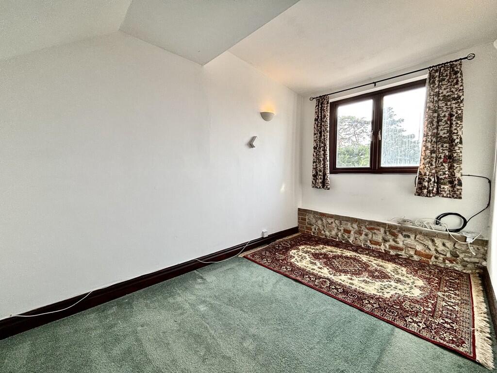
One bedroom, first floor flat, walking distance to Cromer Town centre with parking,
- Bedrooms
- 1
- Bathrooms
- 1
The heatmap indicates the level of crime in the area. The color of the heatmap indicates the crime severity and recency.
Metrics Year-on-Year
- Average area value
- 343,000.00 £Increased by 13.67 %
- Average area rental value
- 795.00 £/moDecreased by 30.87 %
- Est rental Yield
- 2.78 %Decreased by 39.17 %
- Crime Rate
- 12.00 %Unchanged by 0.00 %
from 301,750.00 £
from 1,150.00 £/mo
from 4.57 %
from 12.00 %
Agent Activity
Watsons created the listing.
Nearby Schools
| Name | Type | Ofsted | Distance |
|---|---|---|---|
| Cromer Children'S Centre | Children's Centre | 0.30 KM | |
| Suffield Park Infant And Nursery School, Cromer | Community School | Good | 0.42 KM |
| Cromer Academy | Academy Converter | Good | 0.70 KM |
| Cromer Junior School | Academy Converter | 0.71 KM | |
| Overstrand, The Belfry, Church Of England Voluntary Aided Primary School | Voluntary Aided School | Good | 2.84 KM |
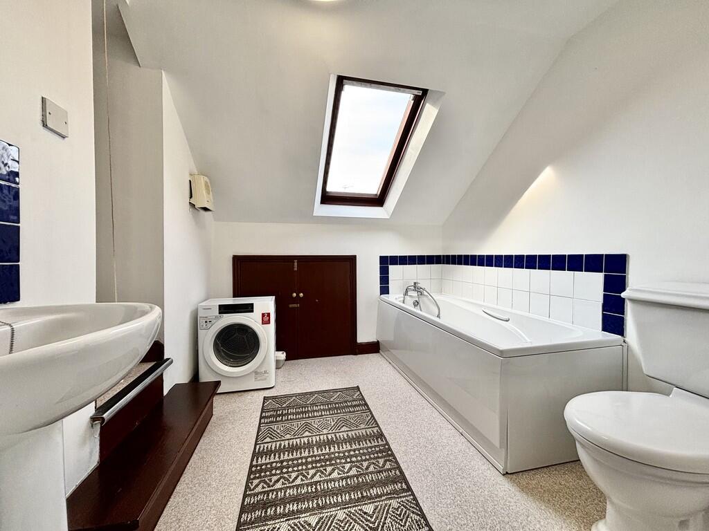
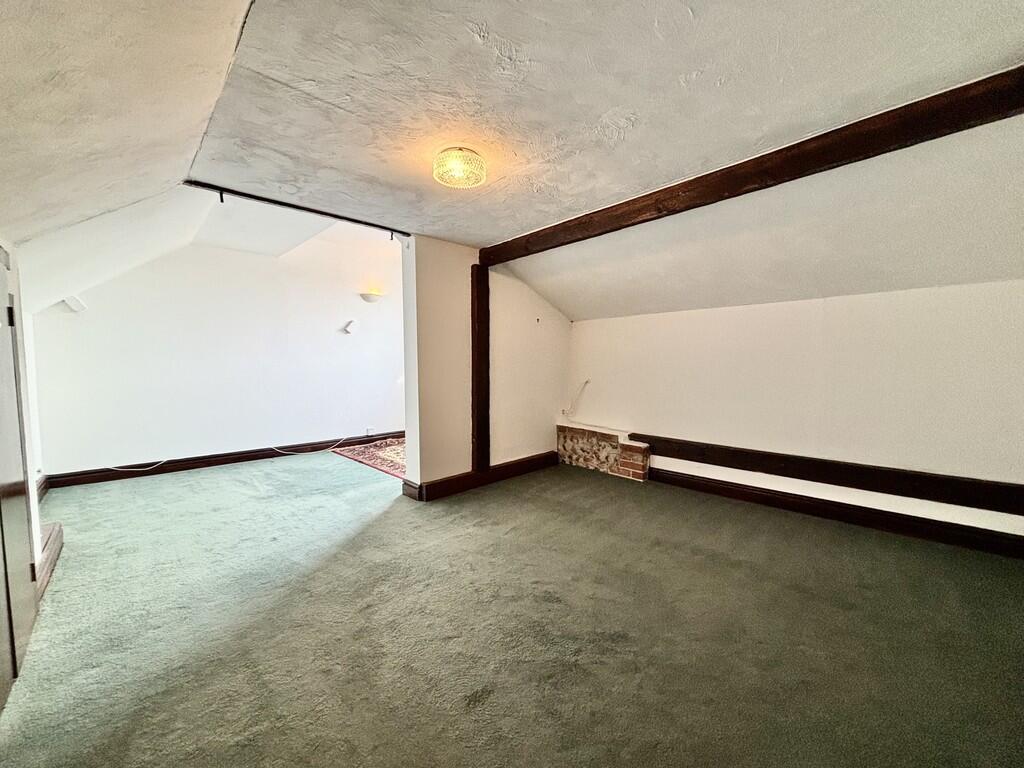
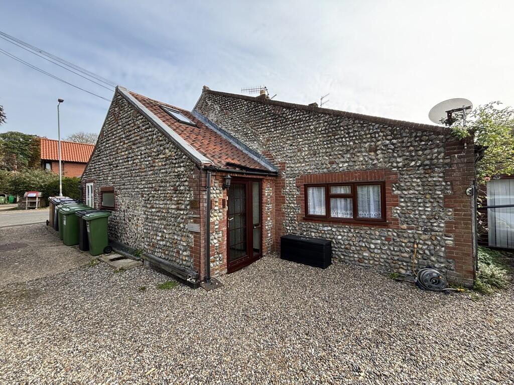
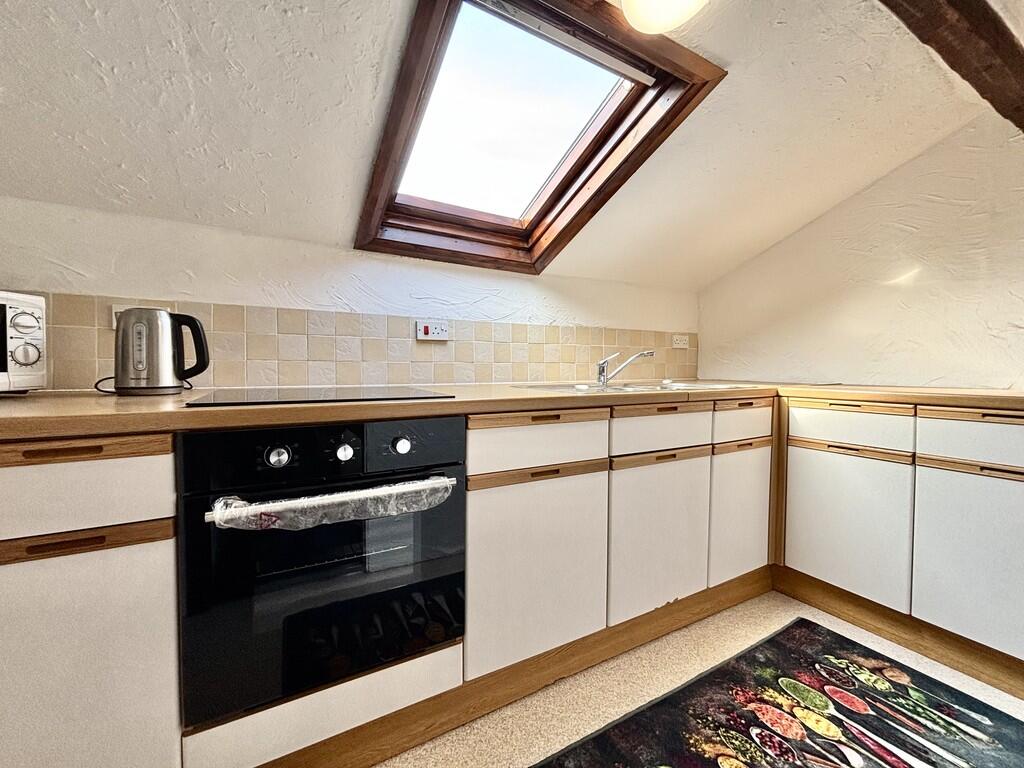
Images
Nearby Streets
| Name | Average Price | Average Sqft | Distance |
|---|---|---|---|
| King's Chalet Park | £ 57,000 | 0 | 0.00 KM |
| Grove Road | £ 90,000 | 0 | 0.00 KM |
| Oliver Court | £ 0 | 0 | 0.00 KM |
| White House Estate | £ 0 | 0 | 0.00 KM |
| Mayfield Drive | £ 330,000 | 0 | 0.00 KM |
Nearby Transport
| Name | NLC | TLC | Distance |
|---|---|---|---|
| Roughton Road | 7297 | RNR | 1.36 KM |
| Cromer | 7295 | CMR | 2.05 KM |
| West Runton | 7329 | WRN | 7.29 KM |
| Gunton | 7299 | GNT | 7.73 KM |
Nearby Listings
| Address | Price | Type | Score | Distance |
|---|---|---|---|---|
| Overstrand Road | £ 600 | RENT | Unknown | 0.00 KM |
| Harbord Road, Cromer, NR27 | £ 1,500 | RENT | Unknown | 0.37 KM |
| Harbord Road, Cromer, NR27 | £ 1,800 | RENT | Unknown | 0.37 KM |
| Cromer, NR27 | £ 1,800 | RENT | Unknown | 0.38 KM |
| Cromer, NR27 | £ 1,300 | RENT | Unknown | 0.38 KM |
Nearby Properties
| Address | Price | Distance |
|---|---|---|
| 100 Overstrand Road | £ 250,000 | 0.00 KM |
| 86 Overstrand Road | £ 188,500 | 0.00 KM |
| 126 Overstrand Road | £ 355,000 | 0.00 KM |
| 124 Overstrand Road | £ 285,000 | 0.00 KM |
| 96 Overstrand Road | £ 211,500 | 0.01 KM |