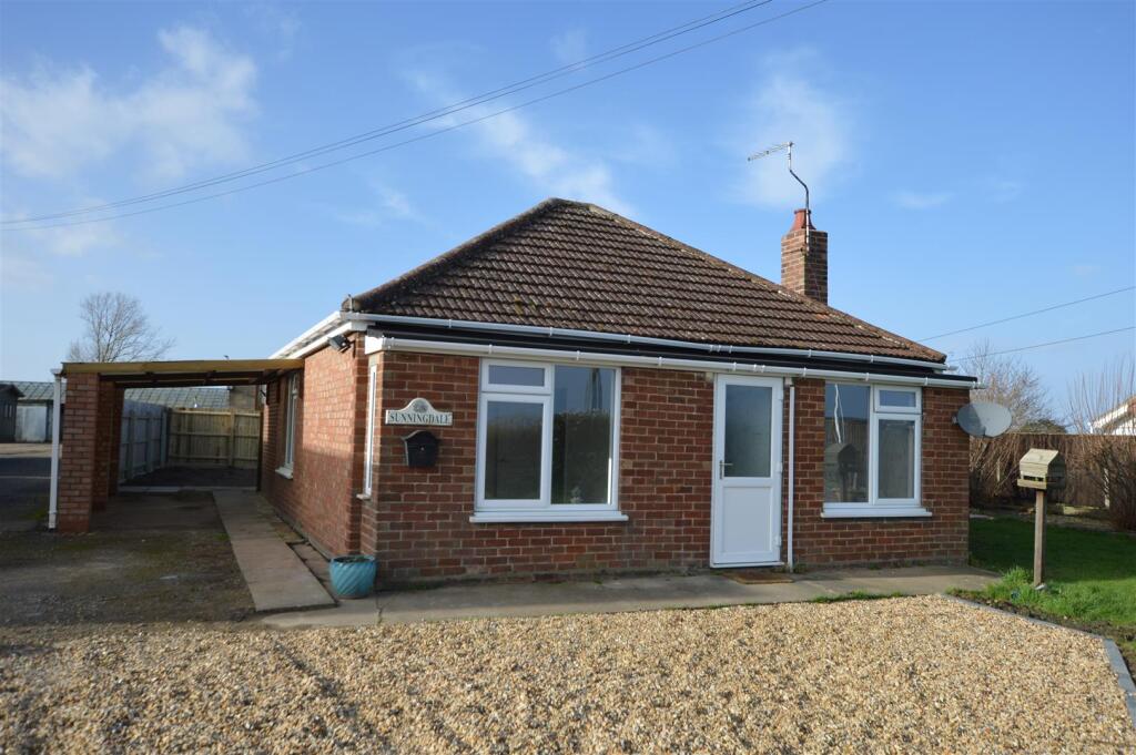
Gull Bank, Whaplode Drove, Spalding
By Firmin & Co
£ 235,000
Reviews
3 out of 5 stars
Firmin & Co says ..
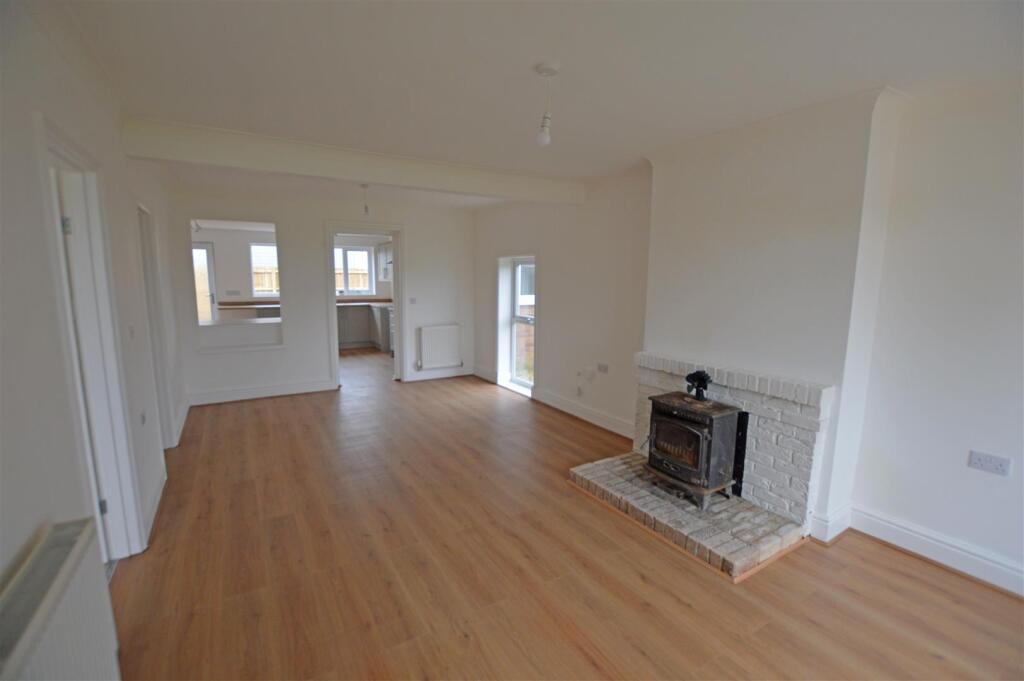
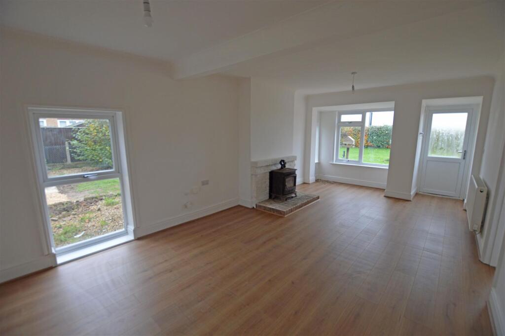
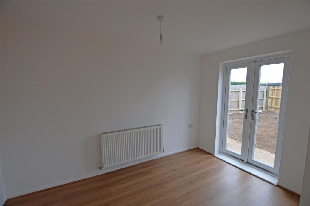
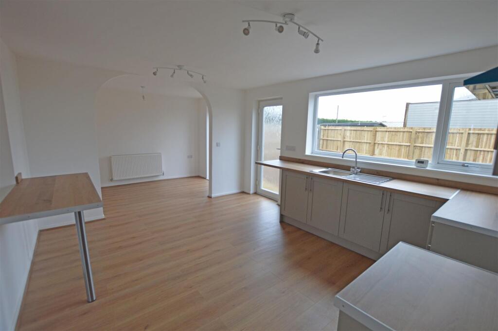
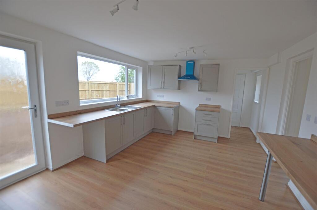
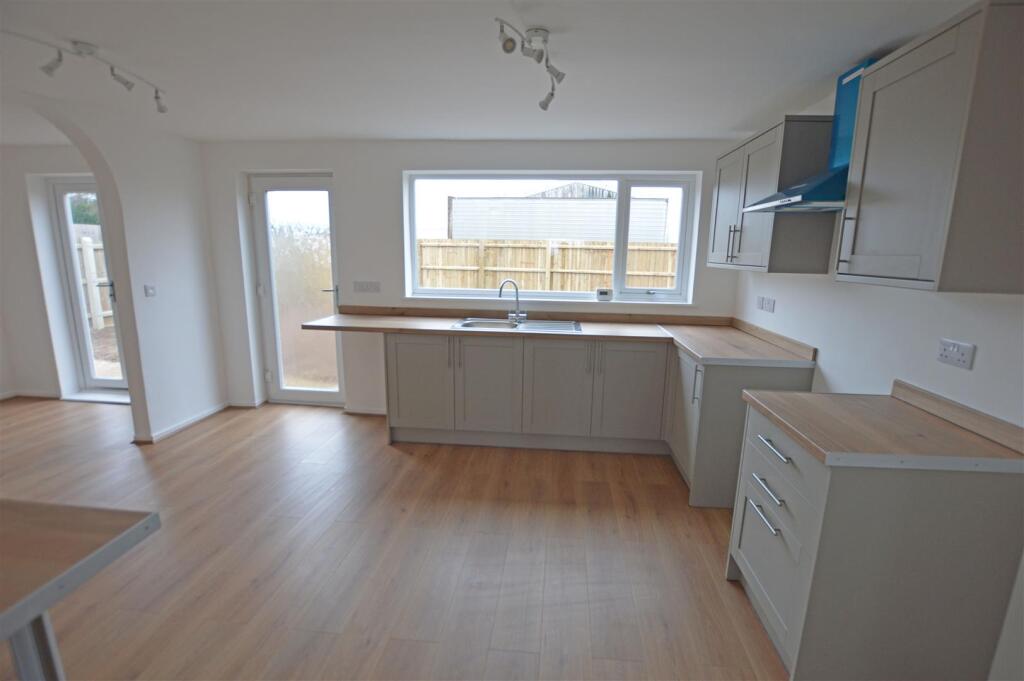
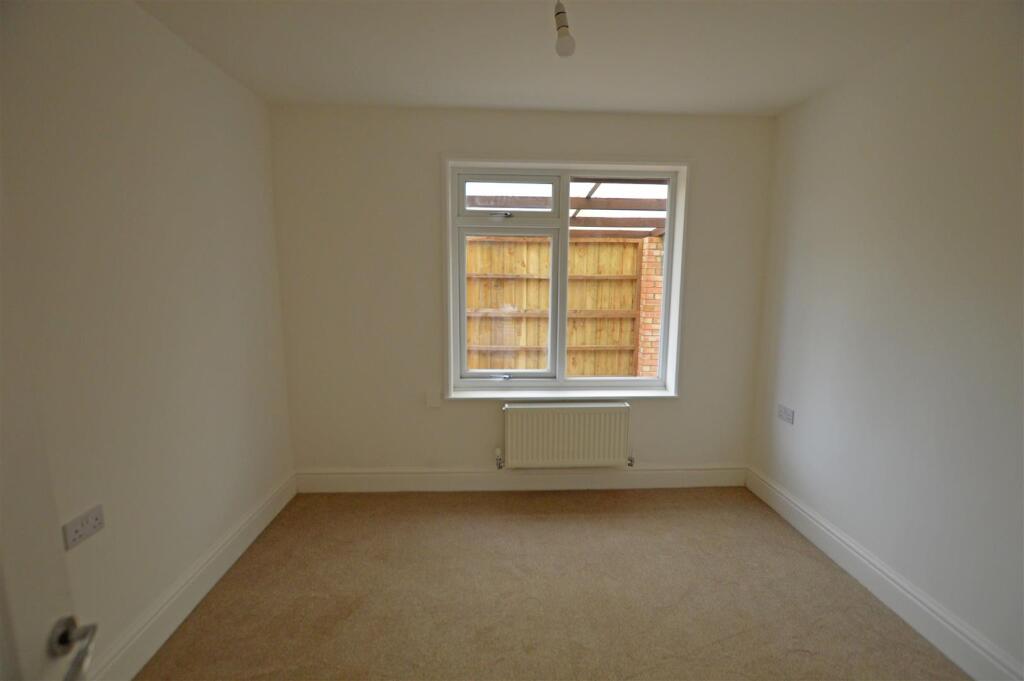
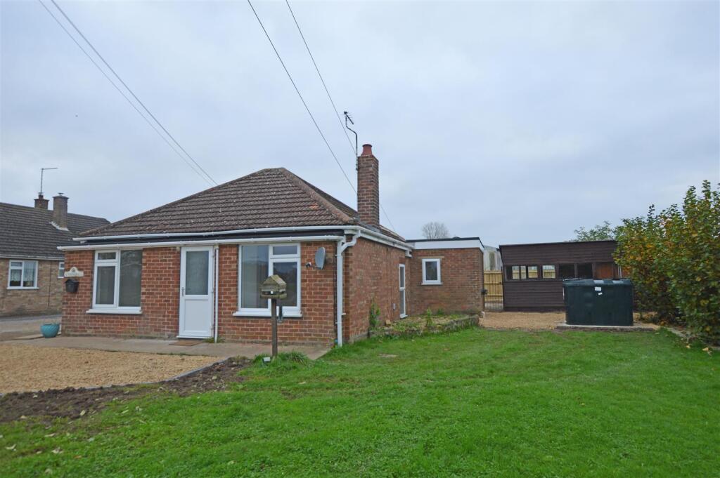
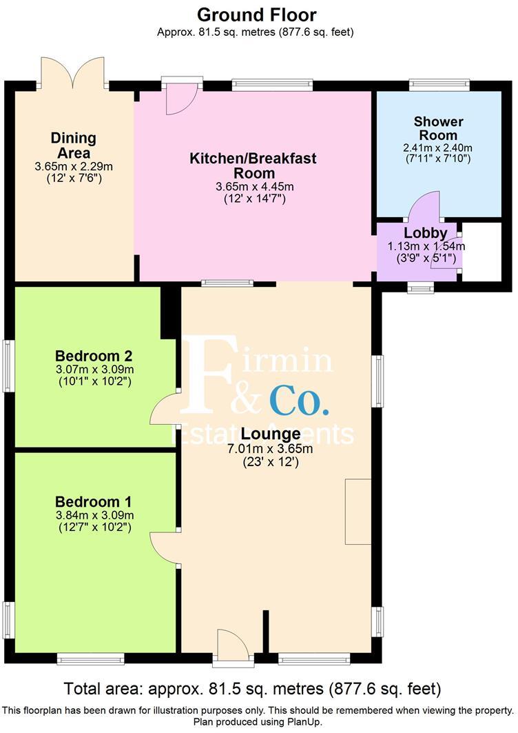
*******INVESTORS ONLY*******Currently rented on a THREE YEAR sht agreement for £1000 pcm, this newly renovated detached Bungalow enjoys a rural location, is being sold including existing tenants and comprises; good size Lounge, refitted Kitchen Diner, separate Dining area, two double Bedrooms an...
Property Oracle says ..
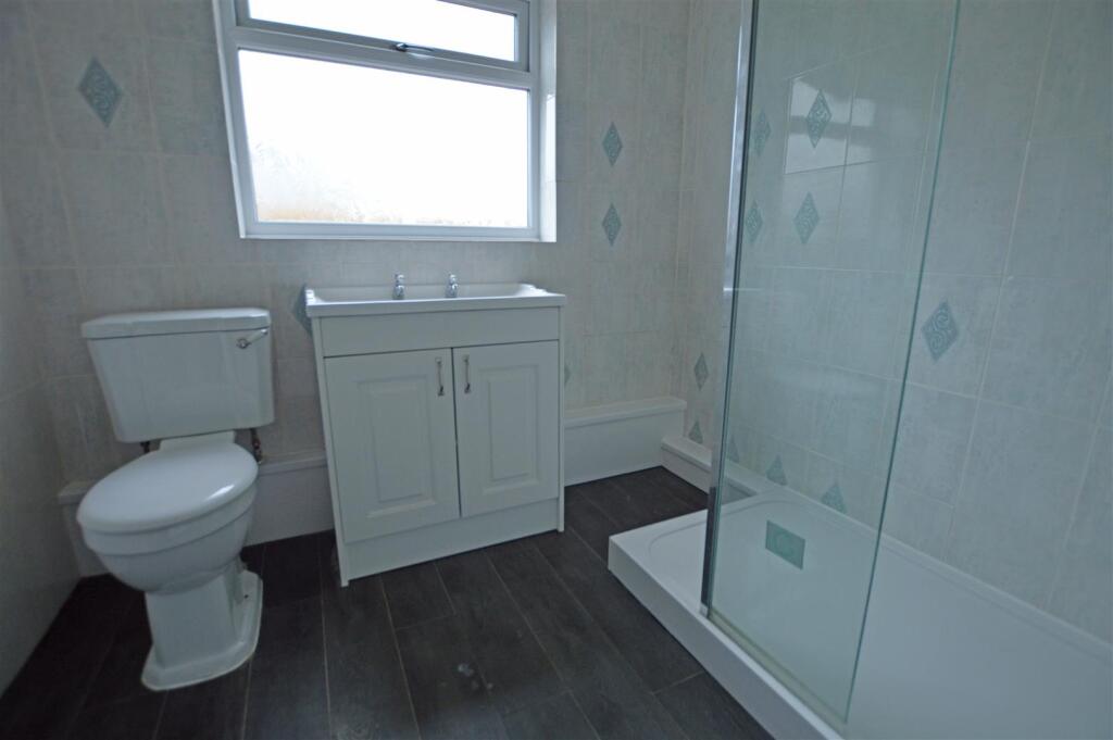
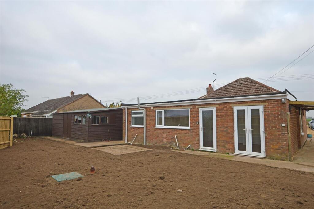
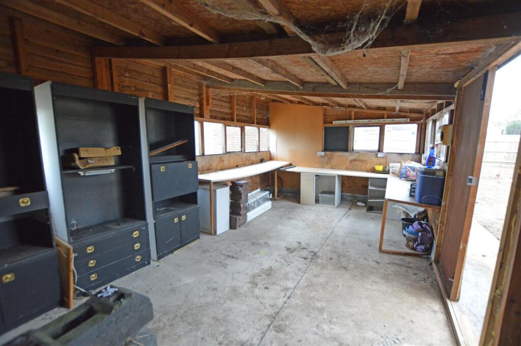
The property is a 2-bedroom, 1-bathroom detached bungalow located in Whaplode Drove, Spalding, Lincolnshire. It is situated on a plot of 877.26 sqft and has a total area of 850.94 sqft. The list price is £235,000. The property appears to be in good condition, having recently undergone some modernisation, as evidenced by the new kitchen and flooring. The images show a clean and well-maintained interior. The garden is relatively small and mostly bare earth. There is a detached shed/workshop. While the property is smaller than the average size for the area (850.94 sqft vs 1,454 sqft), its condition and the inclusion of a garden and shed add value. The average price per sqft in the area is £237.00. Considering the property’s size and the relatively low list price compared to the average house price in the area (£235,000 vs £345,477), it could be considered good value for money, although more comparable properties with sqft data would be needed to confirm this. The nearby properties listed do not have sqft data available to provide a more accurate comparison. The closest comparable property in price is at £240,000, however, the size is unknown. The location is relatively rural, with the nearest schools a short drive away. The Ofsted ratings of the nearby schools vary, with some rated as “Good” and others requiring improvement.
Therefore, we give this property 6 / 10. *Disclaimer: This is our option and does constitute a recommendation or financial advice. Do your own research. *
- Price
- 7
- Condition
- 8
- Location
- 6
- Land
- 4
- Bedrooms
- 2
- Bathrooms
- 1
- Sqft (est)
- 850.94
- Lot (est)
- 877.26
The heatmap indicates the level of crime in the area. The color of the heatmap indicates the crime severity and recency.
Metrics Year-on-Year
- Average area value
- 238,562.00 £Decreased by 19.94 %
- Est sale value
- 216,989.70 £Increased by 32.12 %
- Average area rental value
- 1,250.00 £/moIncreased by 47.06 %
- Est letting value
- 850.94 £/mo
- Est rental Yield
- 6.29 %Increased by 83.92 %
- Crime Rate
- 0.00 %
Agent Activity
Firmin & Co created the listing.
Nearby Schools
| Name | Type | Ofsted | Distance |
|---|---|---|---|
| Shepeau Stow Primary School | Community School | Good | 2.07 KM |
| Moulton Chapel Primary School | Community School | Good | 3.99 KM |
| The Gedney Hill Church Of England Vc Primary School | Voluntary Controlled School | Requires improvement | 5.81 KM |
| Weston Hills Cofe Primary School | Voluntary Controlled School | Requires improvement | 7.88 KM |
| The Cowbit St Mary'S (Endowed) Cofe Primary | Voluntary Aided School | Requires improvement | 8.66 KM |
Images


Nearby Listings
| Address | Price | Type | Score | Distance |
|---|---|---|---|---|
| Gull Bank, Whaplode Drove, Spalding | £ 235,000 | BUY | 6 / 10 | 0.00 KM |
| Whaplode Drove LINCOLNSHIRE | £ 750,000 | BUY | 7 / 10 | 1.10 KM |
| Back Bank, Whaplode Drove, Spalding | £ 380,000 | BUY | Unknown | 1.50 KM |
| Back Bank, Whaplode Drove, Spalding | £ 80,000 | BUY | 5 / 10 | 1.50 KM |
| Back Bank, Whaplode Drove, Spalding | £ 240,000 | BUY | 7 / 10 | 1.53 KM |
Nearby Properties
| Address | Price | Distance |
|---|---|---|
| Edgefield House | £ 285,000 | 0.54 KM |
| The Poplars | £ 95,000 | 0.54 KM |
| Homeland | £ 305,000 | 0.64 KM |
| Pearl House | £ 277,000 | 0.64 KM |
| The Sycamores | £ 110,000 | 1.53 KM |