
RE
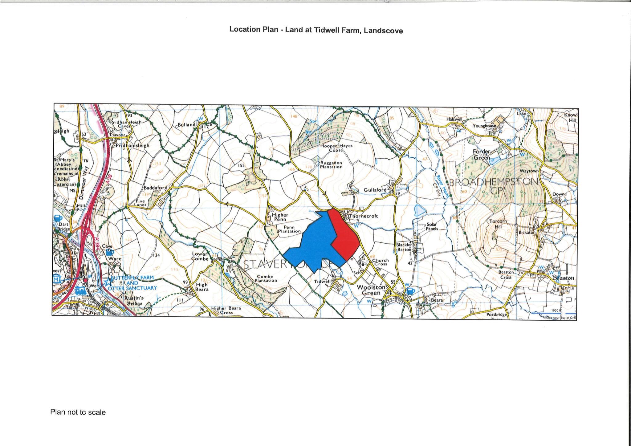
Landscove
By Rendells
£ 700,000
Rendells says ..
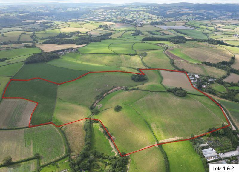
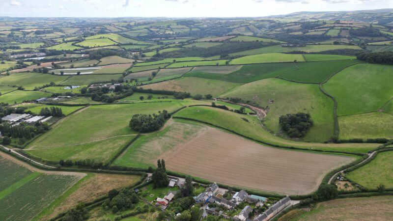
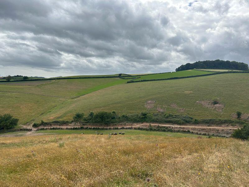
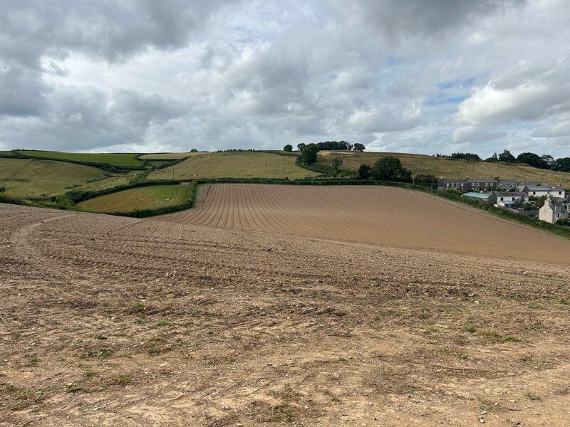
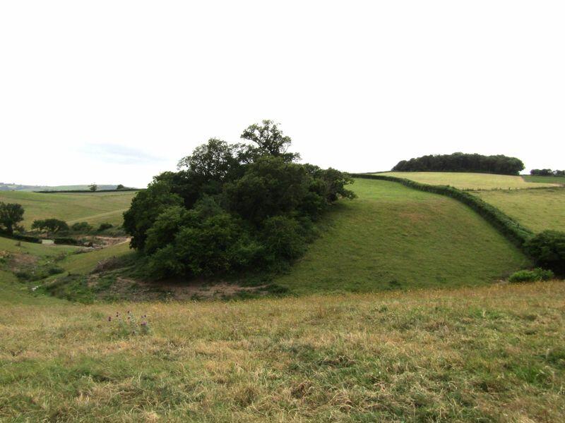
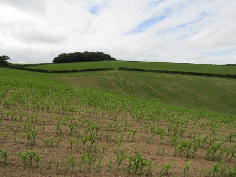
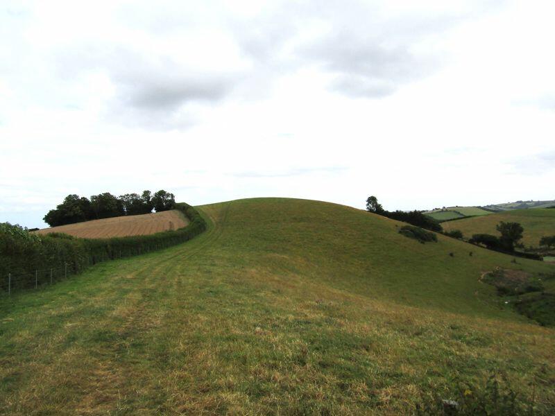
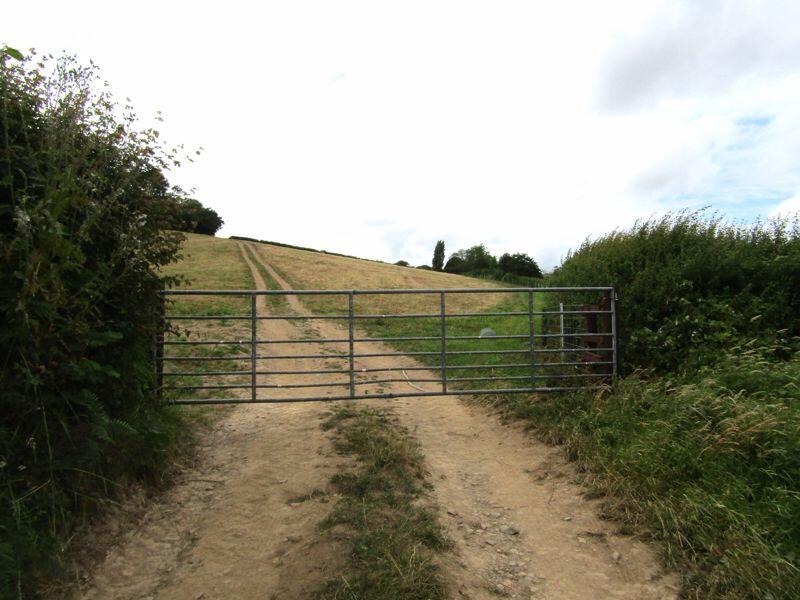
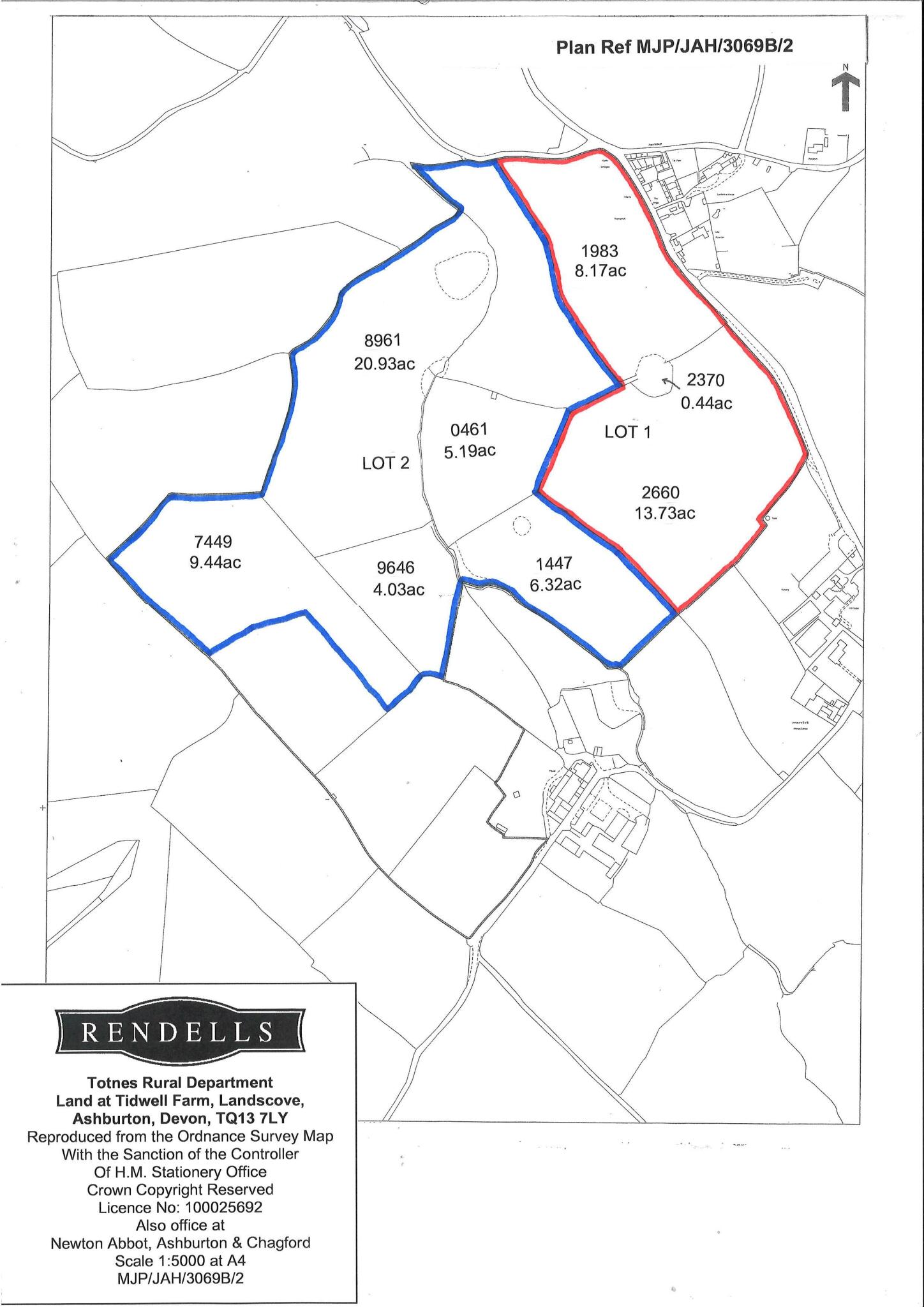
68.25 acres (27.62 hectares) of productive arable and grassland with good access. Available as a whole or in two convenient lots.
- Bedrooms
- 0
- Bathrooms
- 0
The heatmap indicates the level of crime in the area. The color of the heatmap indicates the crime severity and recency.
Metrics Year-on-Year
- Average area value
- 216,225.00 £Decreased by 4.32 %
- Average area rental value
- 863.00 £/moDecreased by 37.87 %
- Est rental Yield
- 4.79 %Decreased by 35.09 %
- Crime Rate
- 0.00 %
from 225,977.00 £
from 1,389.00 £/mo
from 7.38 %
from 0.00 %
Agent Activity
Rendells marked this listing as sold.
Rendells created the listing.
Nearby Schools
| Name | Type | Ofsted | Distance |
|---|---|---|---|
| Landscove Church Of England Primary School | Academy Converter | Good | 0.29 KM |
| South Devon Steiner School | Other Independent School | Inadequate | 3.33 KM |
| Ashburton Primary School | Academy Converter | Good | 4.11 KM |
| Sands School | Other Independent School | 4.27 KM | |
| Broadhempston Village Primary School | Academy Converter | 4.27 KM |
Images

Nearby Streets
| Name | Average Price | Average Sqft | Distance |
|---|---|---|---|
| North Cottages | £ 0 | 0 | 0.00 KM |
| Moorview | £ 785,000 | 0 | 0.00 KM |
| Apple Orchard | £ 0 | 0 | 0.00 KM |
Nearby Transport
| Name | NLC | TLC | Distance |
|---|---|---|---|
| Totnes | 3558 | TOT | 7.19 KM |
Nearby Listings
| Address | Price | Type | Score | Distance |
|---|---|---|---|---|
| Landscove | £ 290,000 | BUY | Unknown | 0.00 KM |
| Landscove | £ 700,000 | BUY | Unknown | 0.00 KM |
| Landscove, Ashburton | £ 695,000 | BUY | 7 / 10 | 0.39 KM |
| Landscove | £ 410,000 | BUY | Unknown | 0.67 KM |
| Landscove, Ashburton | £ 550,000 | BUY | Unknown | 0.83 KM |
Nearby Properties
| Address | Price | Distance |
|---|---|---|
| 2 The Angle | £ 210,000 | 0.40 KM |
| 1 Pennywell Close | £ 340,000 | 0.65 KM |
| 4 Moor View | £ 235,000 | 0.65 KM |
| 7 Moor View | £ 475,000 | 0.65 KM |
| 2 Moor View | £ 327,000 | 0.65 KM |