
DA
Harvest Close, Newport
By Davies White & Perry
£ 425,000
Davies White & Perry says ..
Read More
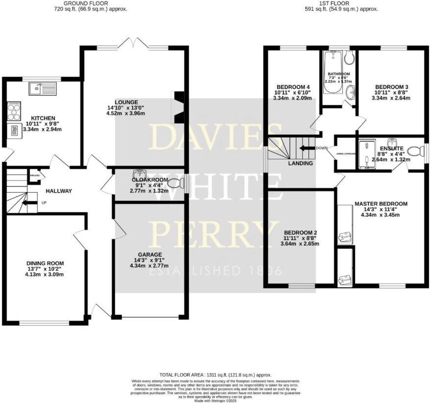
- Bedrooms
- 4
- Bathrooms
- 2
The heatmap indicates the level of crime in the area. The color of the heatmap indicates the crime severity and recency.
Metrics Year-on-Year
- Average area value
- 382,875.00 £Decreased by 13.12 %
- Average area rental value
- 1,824.00 £/moIncreased by 43.40 %
- Est rental Yield
- 5.72 %Increased by 65.32 %
- Crime Rate
- 1.00 %Unchanged by 0.00 %
from 440,686.00 £
from 1,272.00 £/mo
from 3.46 %
from 1.00 %
Agent Activity
Davies White & Perry created the listing.
Nearby Schools
| Name | Type | Ofsted | Distance |
|---|---|---|---|
| St Peter And St Paul Catholic Primary School | Voluntary Aided School | Outstanding | 0.70 KM |
| Castle House School | Other Independent School | 0.73 KM | |
| Haberdashers' Adams | Academy Converter | Outstanding | 1.10 KM |
| Newport Church Of England Voluntary Controlled Junior School | Voluntary Controlled School | Good | 1.12 KM |
| Newport School & Children Centre | Children's Centre | 1.24 KM |
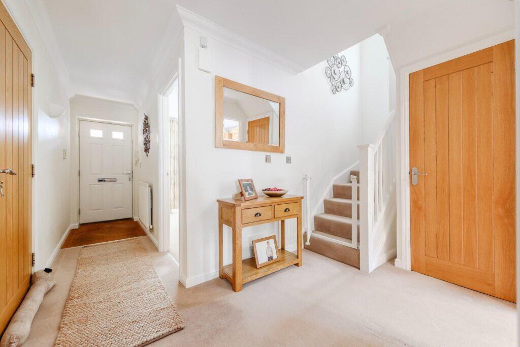
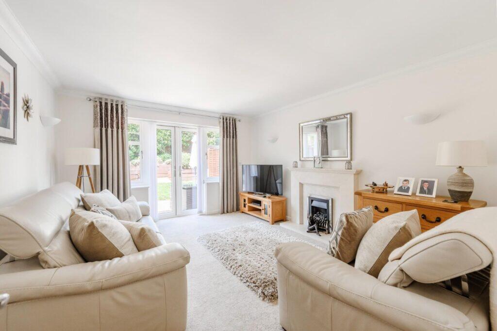
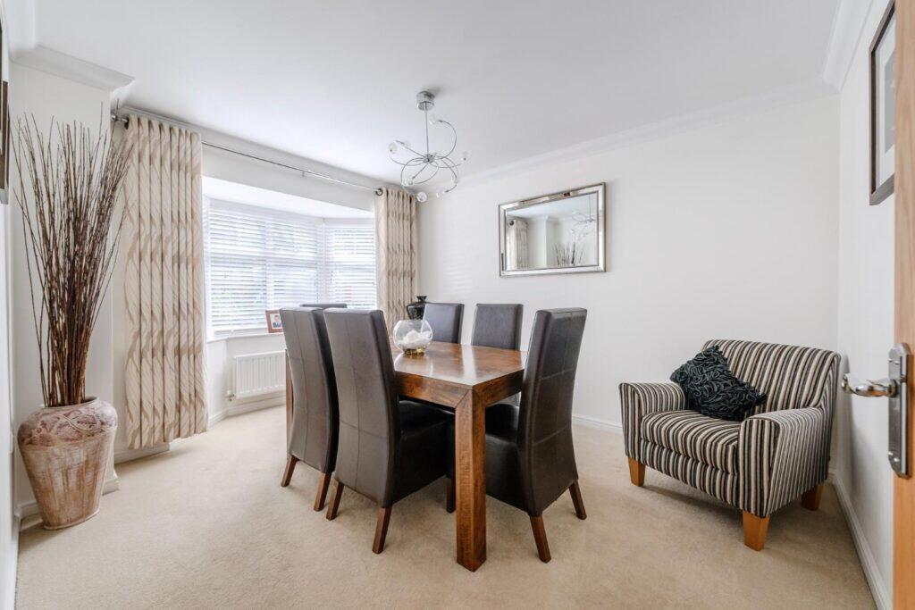
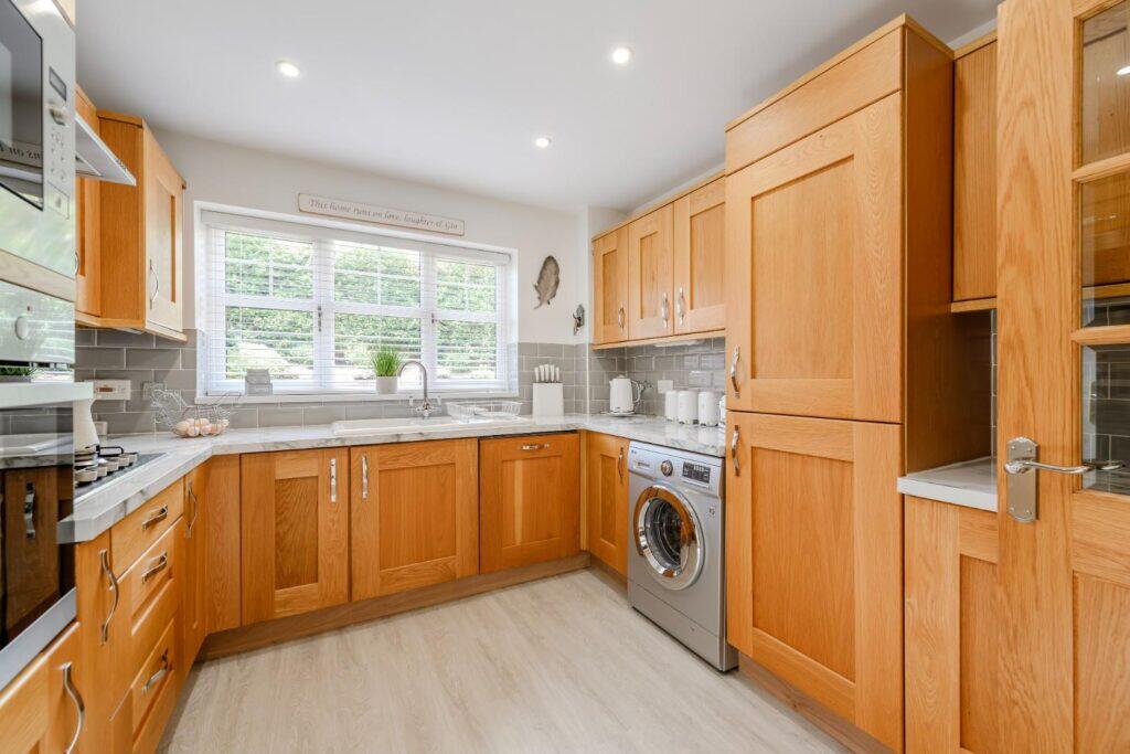
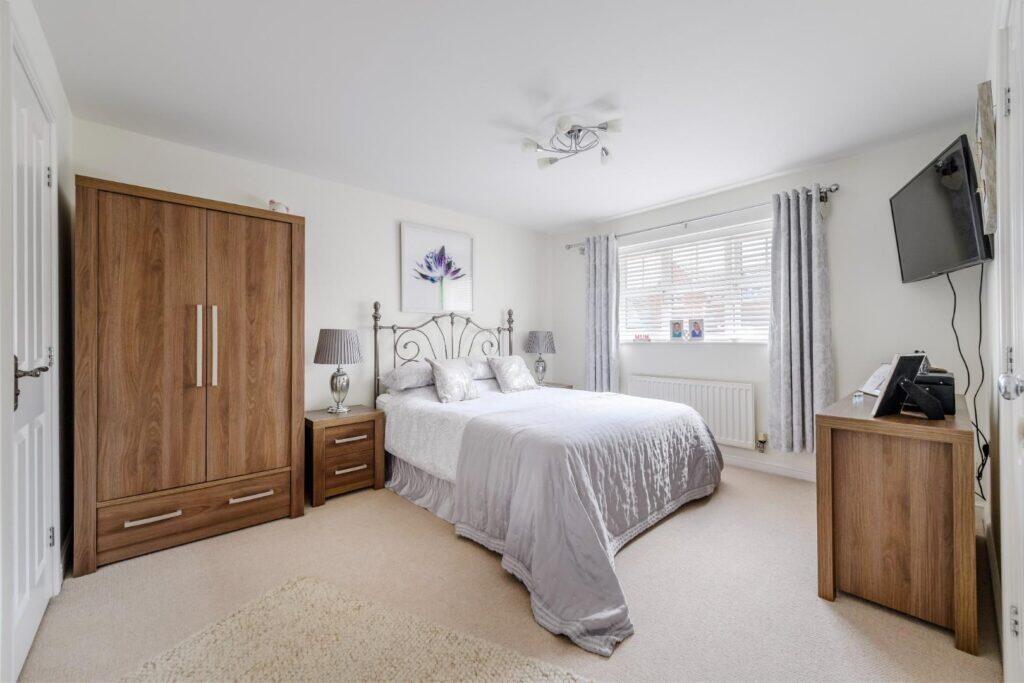
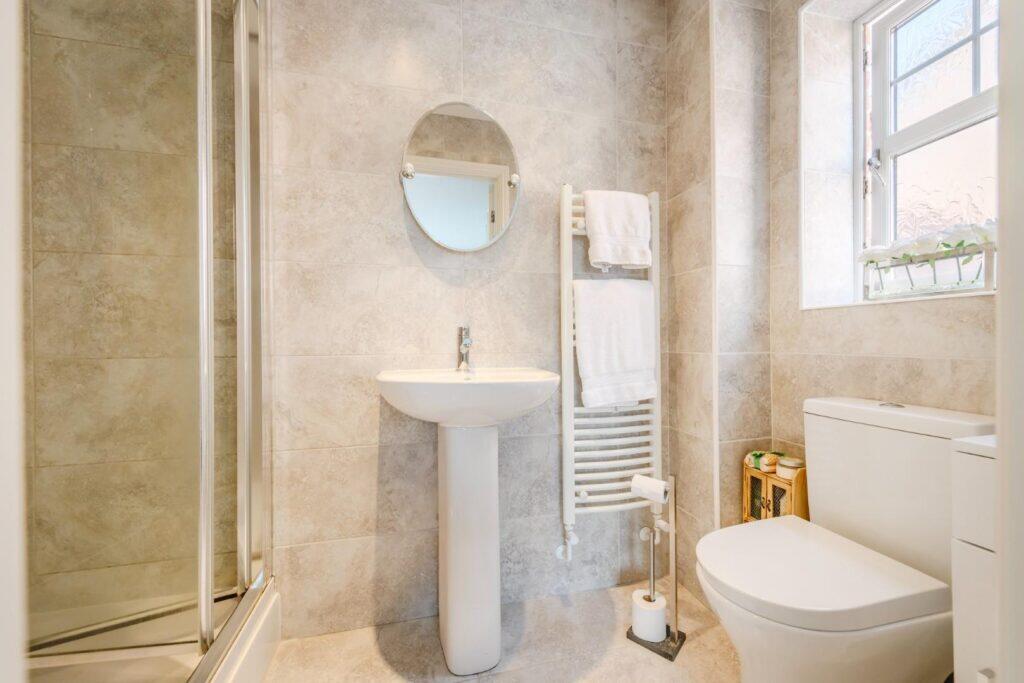
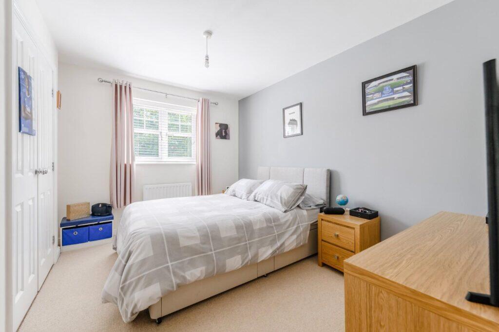
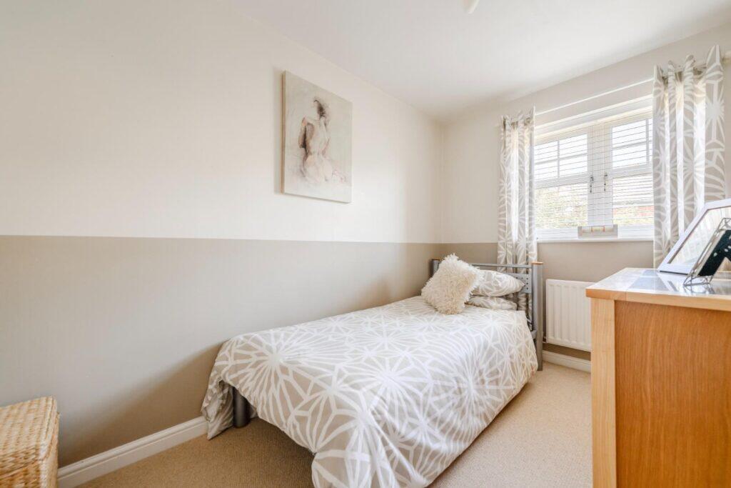
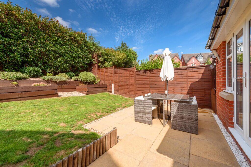
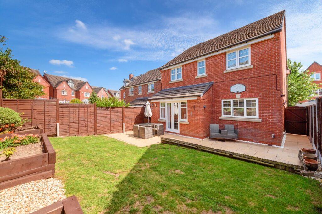
Images


Nearby Streets
| Name | Average Price | Average Sqft | Distance |
|---|---|---|---|
| Bracken Way | £ 270,000 | 0 | 0.00 KM |
| Chetwynd Road | £ 258,317 | 0 | 0.00 KM |
| Trinity Mews | £ 0 | 0 | 0.00 KM |
| The Maltings | £ 0 | 0 | 0.00 KM |
| Town Wells | £ 0 | 0 | 0.00 KM |
Nearby Listings
| Address | Price | Type | Score | Distance |
|---|---|---|---|---|
| Harvest Close, Newport | £ 425,000 | BUY | Unknown | 0.00 KM |
| Islington Close, Newport | £ 365,000 | BUY | 6 / 10 | 0.09 KM |
| Heron Way, Newport | £ 165,000 | BUY | 5 / 10 | 0.18 KM |
| Mere Close, Newport | £ 295,000 | BUY | Unknown | 0.18 KM |
| 14 Mere Close, Newport | £ 295,000 | BUY | 6 / 10 | 0.20 KM |
Nearby Properties
| Address | Price | Distance |
|---|---|---|
| 5 Harvest Close | £ 297,500 | 0.01 KM |
| 4 Harvest Close | £ 340,000 | 0.03 KM |
| 3 Islington Close | £ 220,000 | 0.09 KM |
| 5 Islington Close | £ 78,250 | 0.09 KM |
| 4 Islington Close | £ 295,000 | 0.09 KM |