FI
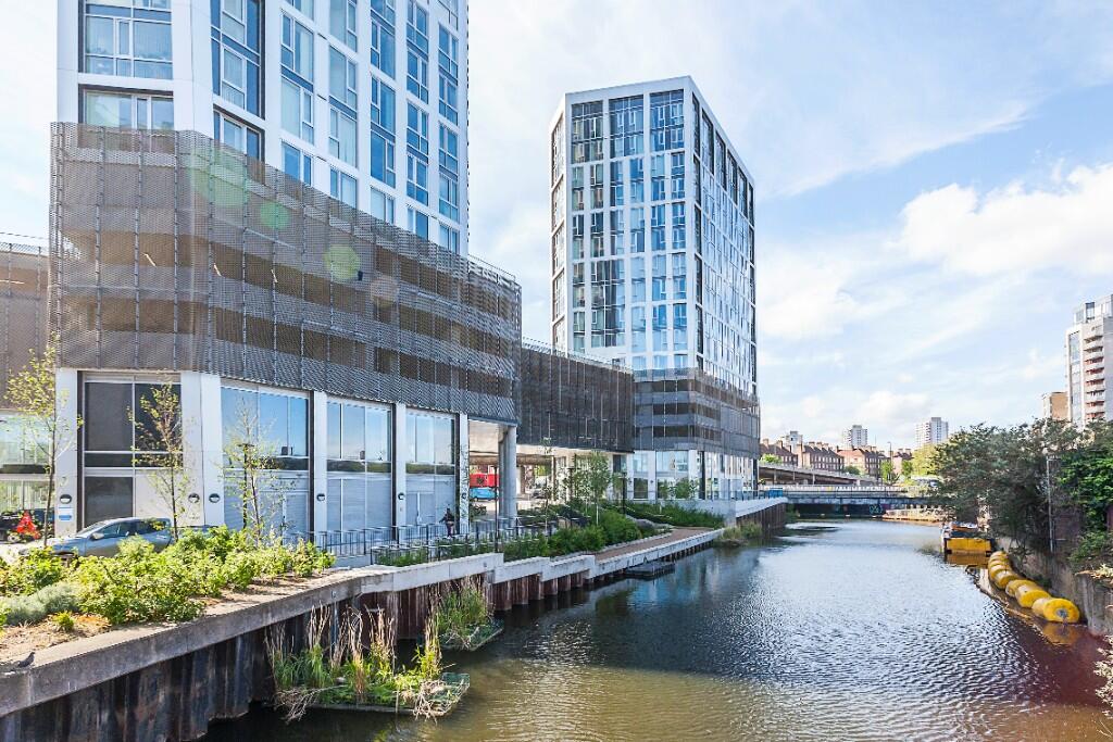
High Street, London, E15
By Filtons Stratford Ltd
£ 2,500
Filtons Stratford Ltd says ..
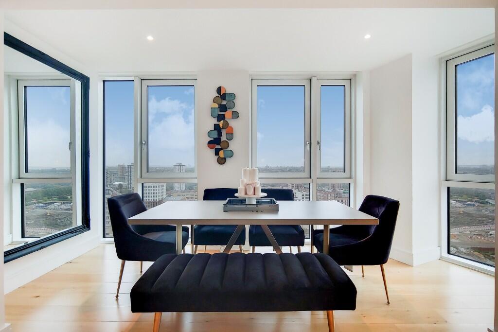
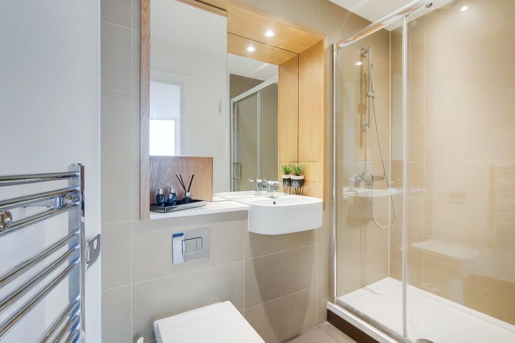
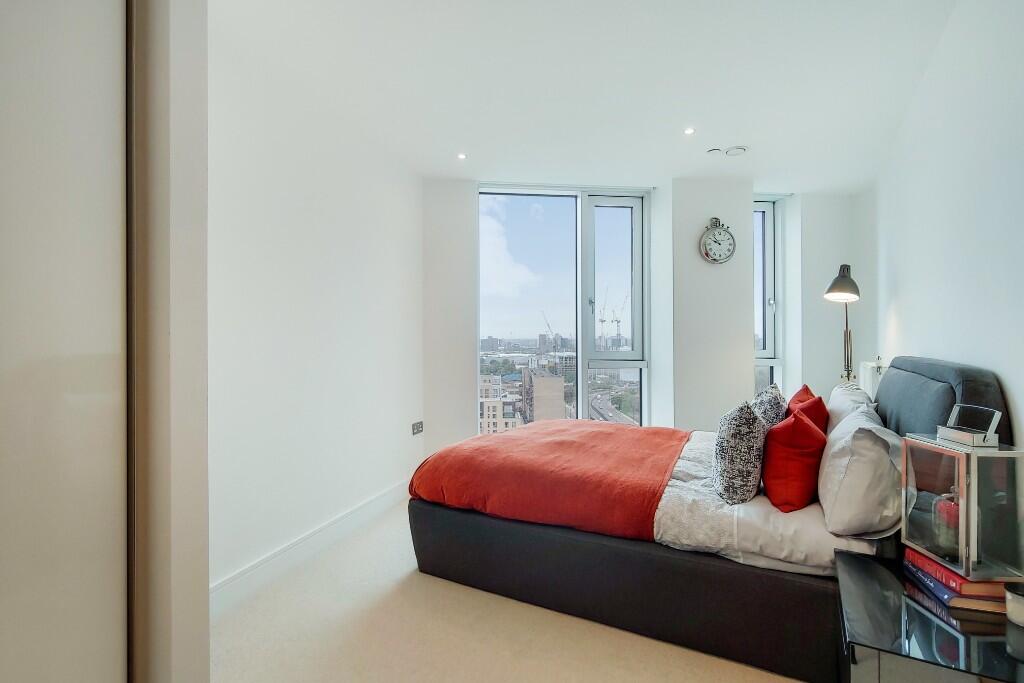
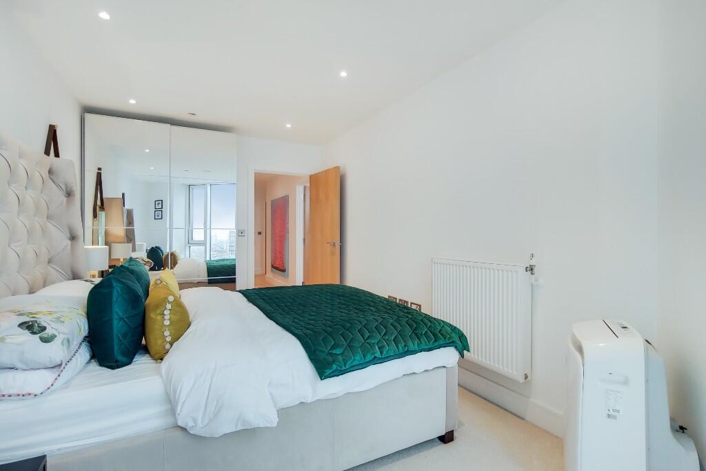
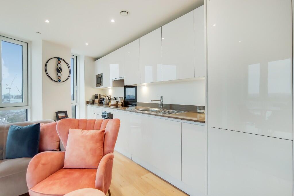
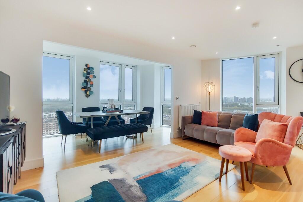
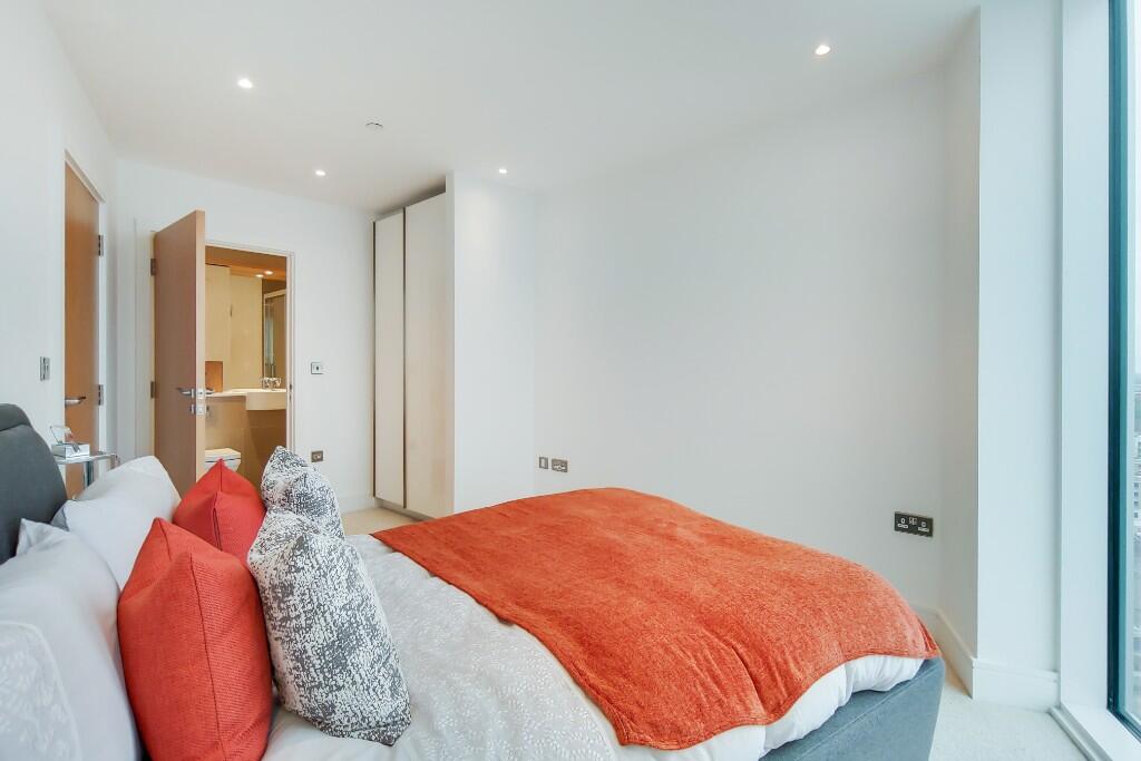
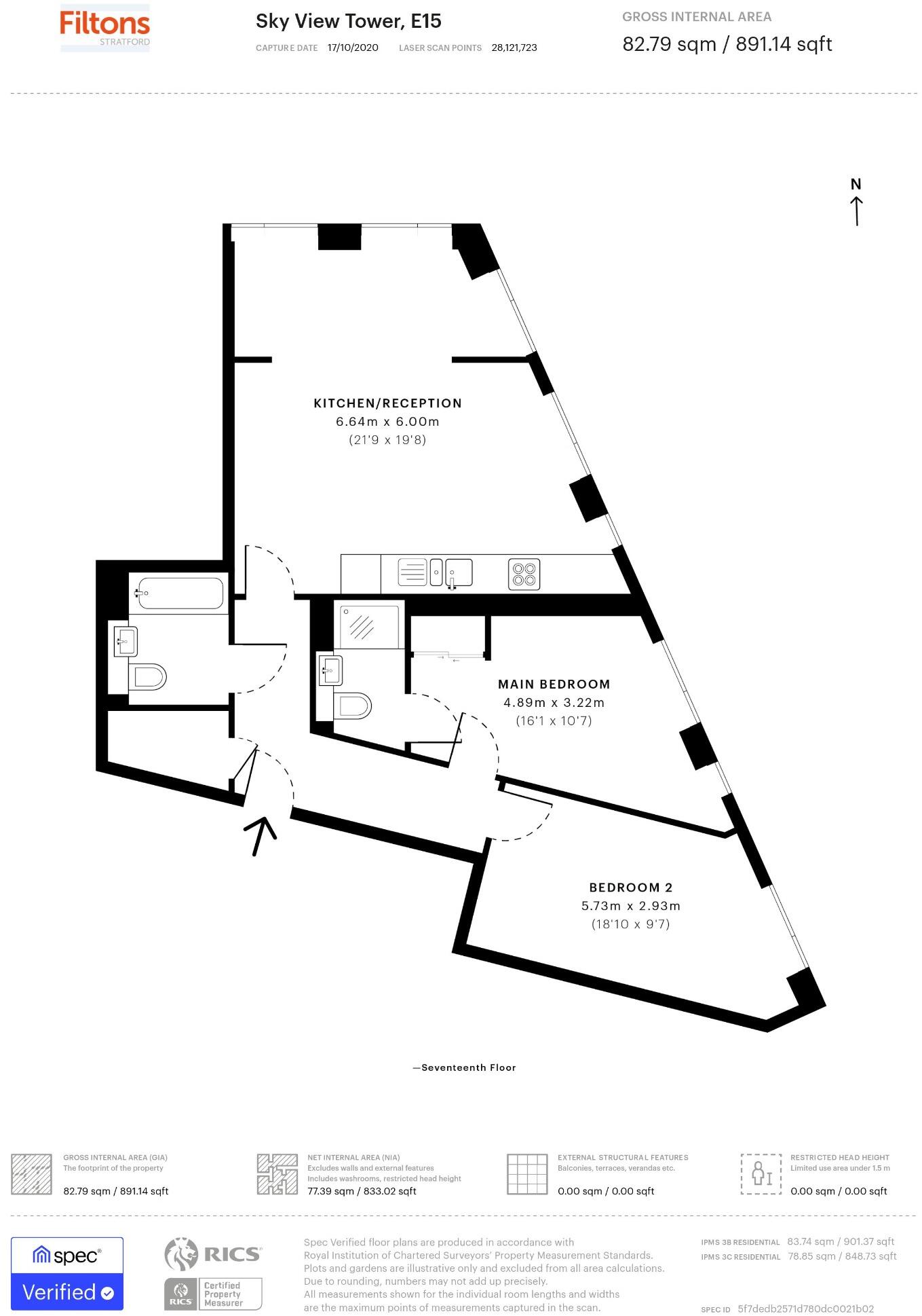
Two Bedroom | Two Bathroom | 17th Floor | Furnished | Concierge | Communal Area
- Bedrooms
- 2
- Bathrooms
- 2
The heatmap indicates the level of crime in the area. The color of the heatmap indicates the crime severity and recency.
Metrics Year-on-Year
- Average area value
- 414,997.00 £Decreased by 30.96 %
- Average area rental value
- 2,643.00 £/moDecreased by 19.49 %
- Est rental Yield
- 7.64 %Increased by 16.64 %
- Crime Rate
- 3.00 %Unchanged by 0.00 %
from 601,087.00 £
from 3,283.00 £/mo
from 6.55 %
from 3.00 %
Agent Activity
Filtons Stratford Ltd created the listing.
Nearby Schools
| Name | Type | Ofsted | Distance |
|---|---|---|---|
| Old Palace Primary School | Community School | Outstanding | 0.33 KM |
| School 360 | Free Schools | 0.49 KM | |
| Ian Mikardo School | Academy Special Converter | 0.59 KM | |
| Bobby Moore Academy | Free Schools | 0.65 KM | |
| Childrens House Nursery School | Local Authority Nursery School | Outstanding | 0.66 KM |
Images


Nearby Streets
| Name | Average Price | Average Sqft | Distance |
|---|---|---|---|
| Bow Roundabout | £ 0 | 0 | 0.00 KM |
| Cook's Road | £ 0 | 0 | 0.00 KM |
| Priory Street | £ 0 | 0 | 0.00 KM |
| High Street | £ 0 | 0 | 0.00 KM |
| Pudding Mill Lane | £ 0 | 0 | 0.00 KM |
Nearby Transport
| Name | NLC | TLC | Distance |
|---|---|---|---|
| Stratford | 6969 | SRA | 1.68 KM |
| Stratford International | 7222 | SFA | 1.68 KM |
| Hackney Wick | 6978 | HKW | 1.94 KM |
| West Ham | 7474 | WEH | 2.08 KM |
| Maryland | 6970 | MYL | 2.73 KM |
Nearby Listings
| Address | Price | Type | Score | Distance |
|---|---|---|---|---|
| High Street, London, E15 | £ 2,500 | RENT | Unknown | 0.00 KM |
| High Street, Stratford, E15 | £ 2,900 | RENT | Unknown | 0.00 KM |
| Sky View Tower, London E15 | £ 2,500 | RENT | Unknown | 0.00 KM |
| High Street, London, E15 | £ 2,750 | RENT | Unknown | 0.01 KM |
| Sky View Tower, 12 High Street, Stratford, E15 | £ 2,978 | RENT | Unknown | 0.01 KM |
Nearby Properties
| Address | Price | Distance |
|---|---|---|
| 5 Priory Street | £ 89,000 | 0.27 KM |
| 8 Priory Street | £ 320,000 | 0.27 KM |
| 2 Franklin Street | £ 295,000 | 0.32 KM |
| 7 Franklin Street | £ 245,000 | 0.32 KM |
| 3 Taft Way | £ 240,000 | 0.36 KM |