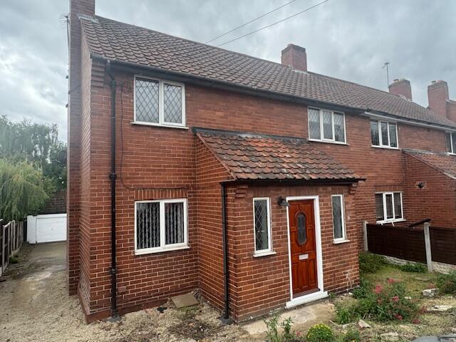

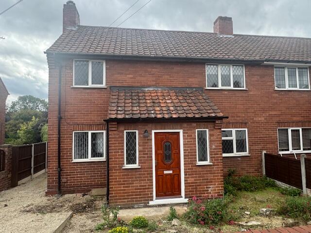
Church Lane, LS25
By Jane Wetherop Partnership
£ 995
Jane Wetherop Partnership says ..
2 Bed semi C/H D/G Garden Garage Drive
- Bedrooms
- 2
- Bathrooms
- 0
The heatmap indicates the level of crime in the area. The color of the heatmap indicates the crime severity and recency.
Metrics Year-on-Year
- Average area value
- 227,143.00 £Decreased by 21.02 %
- Average area rental value
- 1,237.00 £/moIncreased by 11.34 %
- Est rental Yield
- 6.54 %Increased by 40.95 %
- Crime Rate
- 199.00 %Unchanged by 0.00 %
from 287,585.00 £
from 1,111.00 £/mo
from 4.64 %
from 199.00 %
Agent Activity
Jane Wetherop Partnership created the listing.
Nearby Schools
| Name | Type | Ofsted | Distance |
|---|---|---|---|
| Monk Fryston Church Of England Primary School | Academy Converter | 0.18 KM | |
| South Milford Primary School | Academy Converter | 2.52 KM | |
| Burton Salmon Community Primary School | Community School | Good | 3.38 KM |
| Sherburn In Elmet, Athelstan Community Primary School | Community School | Good | 3.57 KM |
| Sherburn High School | Academy Converter | 4.16 KM |
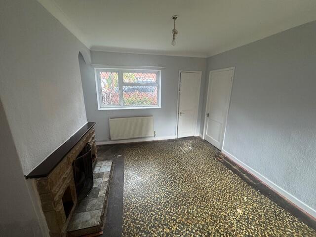
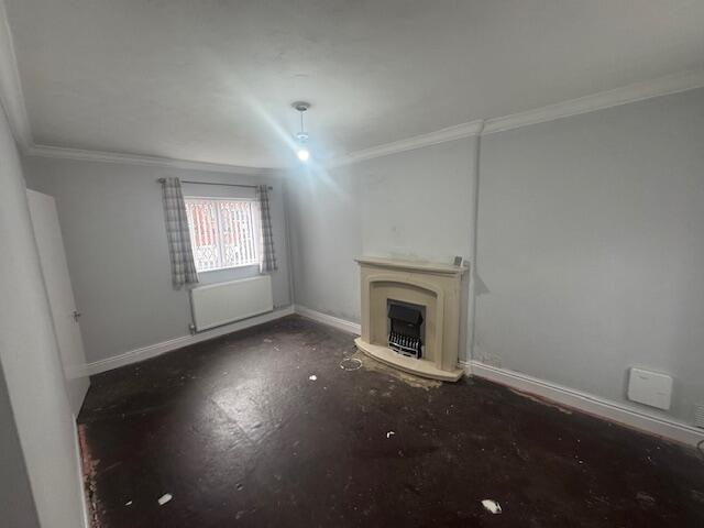
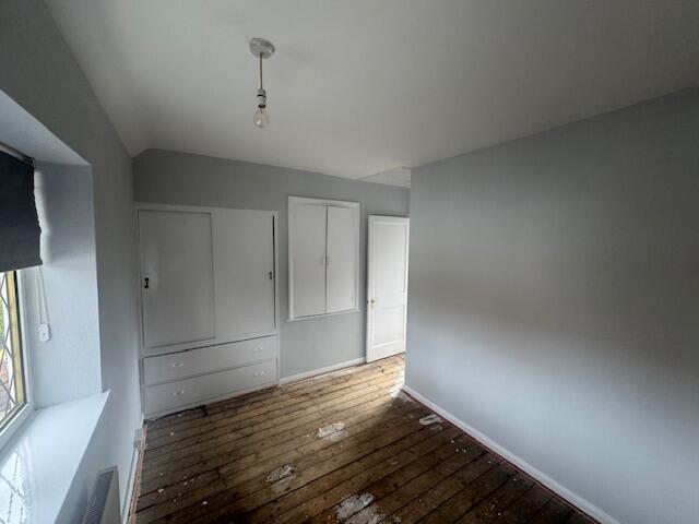
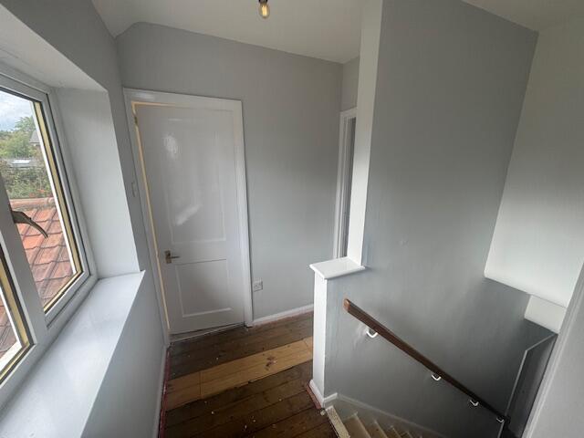
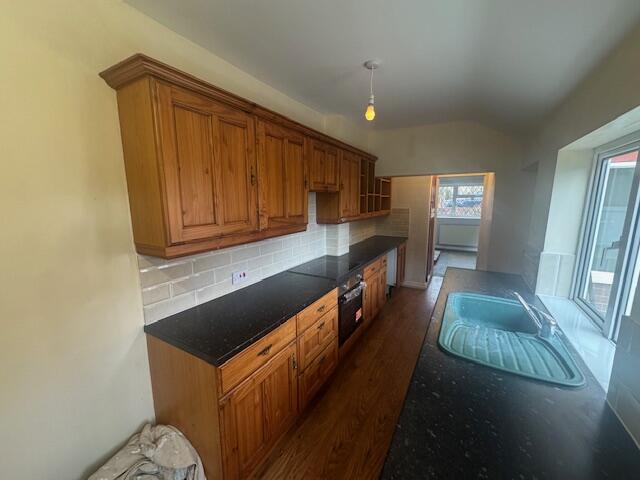
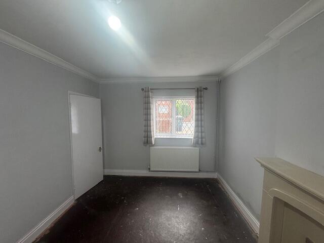
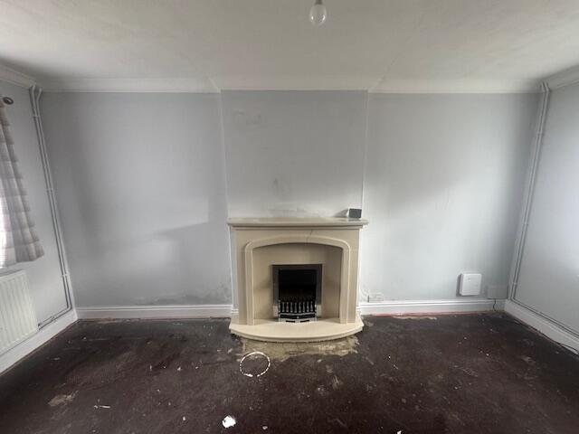
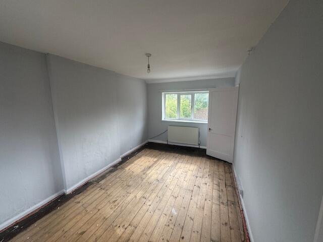
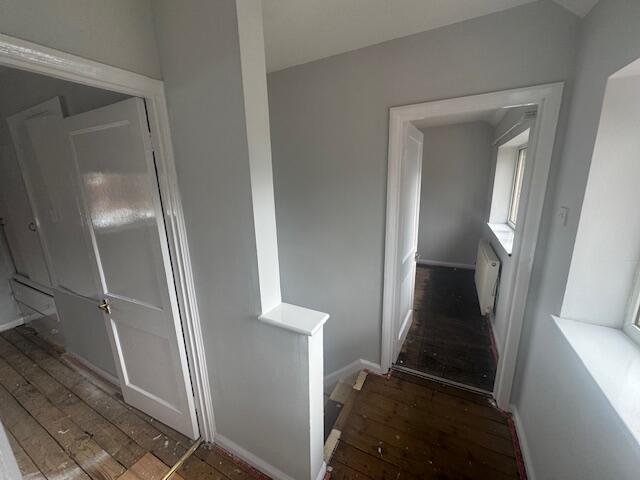
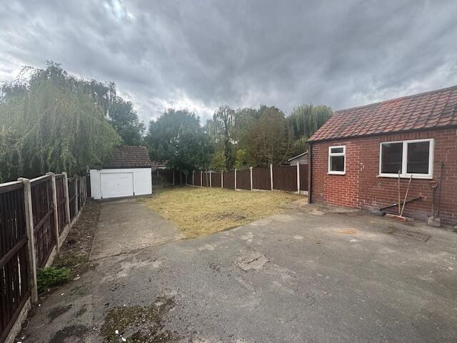
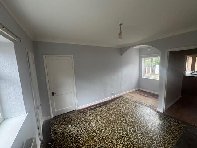
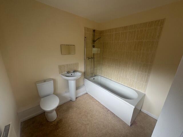
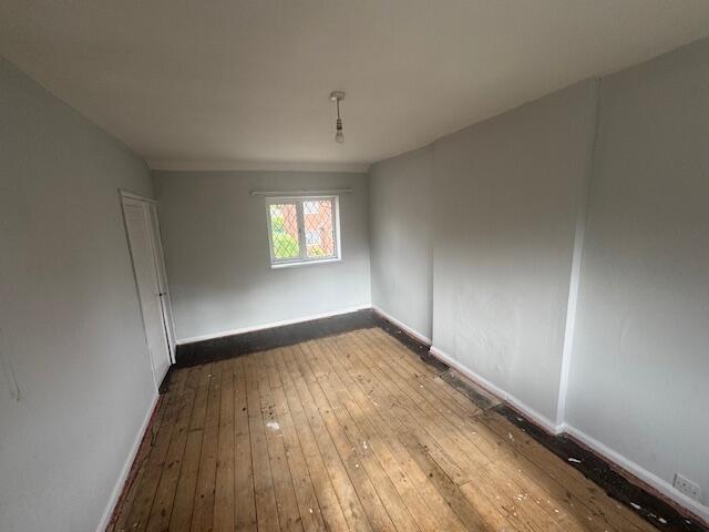
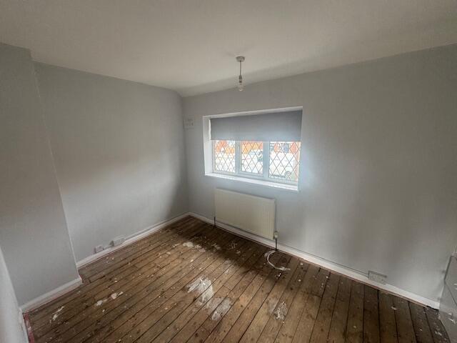
Images


Nearby Streets
| Name | Average Price | Average Sqft | Distance |
|---|---|---|---|
| Church Lane | £ 0 | 0 | 0.00 KM |
| Old Vicarage Lane | £ 0 | 0 | 0.00 KM |
| Kingston Grange | £ 0 | 0 | 0.00 KM |
| The Quarry | £ 0 | 0 | 0.00 KM |
| The Meadows | £ 0 | 0 | 0.00 KM |
Nearby Transport
| Name | NLC | TLC | Distance |
|---|---|---|---|
| South Milford | 8142 | SOM | 2.97 KM |
| Sherburn-In-Elmet | 8257 | SIE | 4.01 KM |
| Knottingley | 8546 | KNO | 6.67 KM |
| Church Fenton | 8233 | CHF | 7.33 KM |
Nearby Listings
| Address | Price | Type | Score | Distance |
|---|---|---|---|---|
| Church Lane, LS25 | £ 995 | RENT | Unknown | 0.00 KM |
| Croft Court, Monk Fryston, LS25 | £ 1,750 | RENT | Unknown | 0.18 KM |
| Great North Road North, Aberford | £ 1,800 | RENT | Unknown | 0.27 KM |
| Main Street, Monk Fryston, Leeds | £ 1,750 | RENT | Unknown | 0.43 KM |
| Quarry Vale, Monk Fryston | £ 1,600 | RENT | Unknown | 0.45 KM |
Nearby Properties
| Address | Price | Distance |
|---|---|---|
| 2 Church Lane | £ 295,000 | 0.00 KM |
| 9 Church Lane | £ 255,000 | 0.00 KM |
| 14 Church Lane | £ 365,000 | 0.00 KM |
| 8 Church Lane | £ 125,000 | 0.00 KM |
| 12 Church Lane | £ 275,000 | 0.00 KM |