JO
Sprowston Road
By Jones & Co
£ 595
Jones & Co says ..
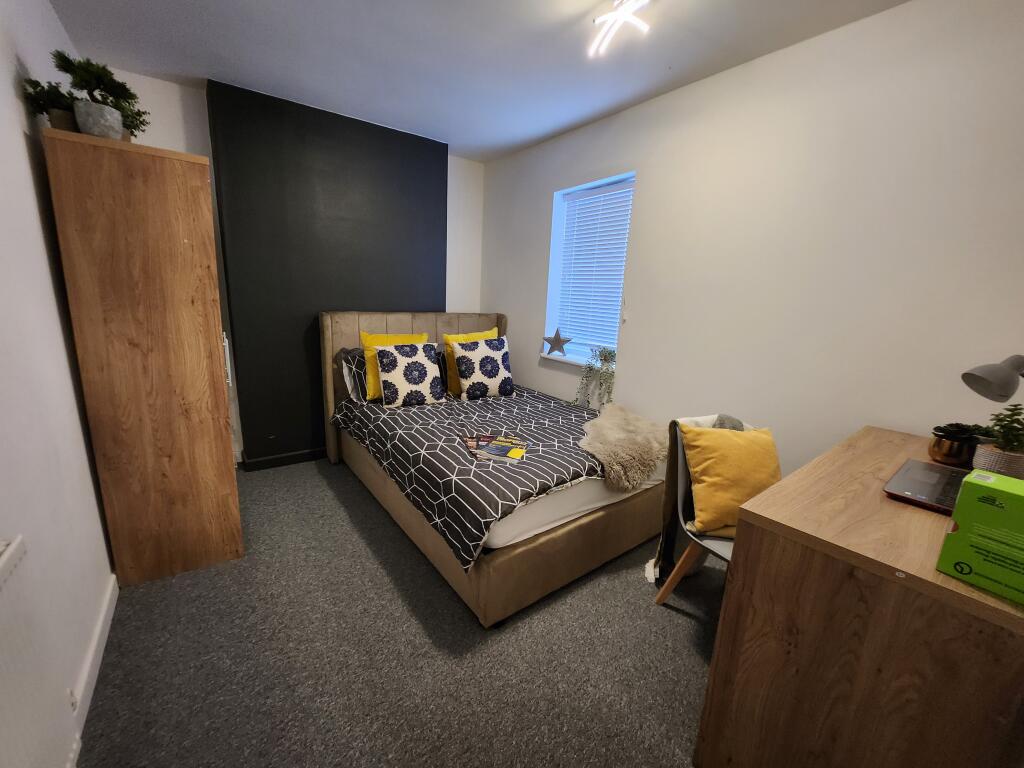
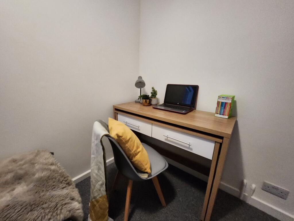
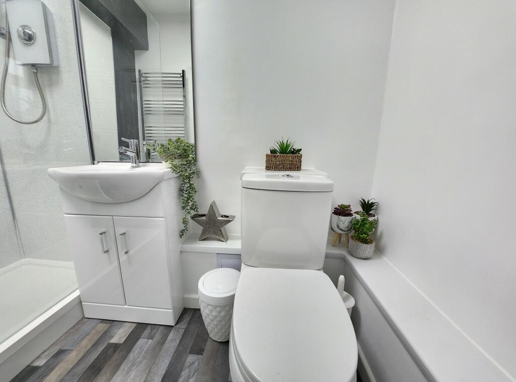
1 Bedroom available at a completely redecorated and furnished 6-bed house share.
- Bedrooms
- 1
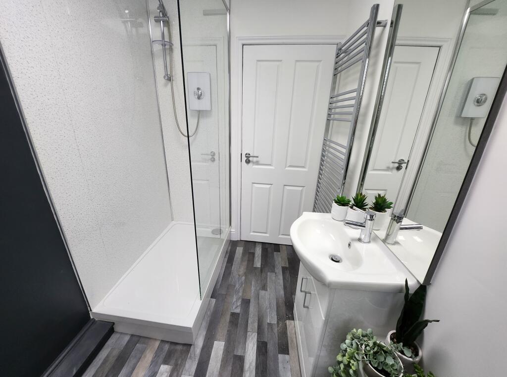
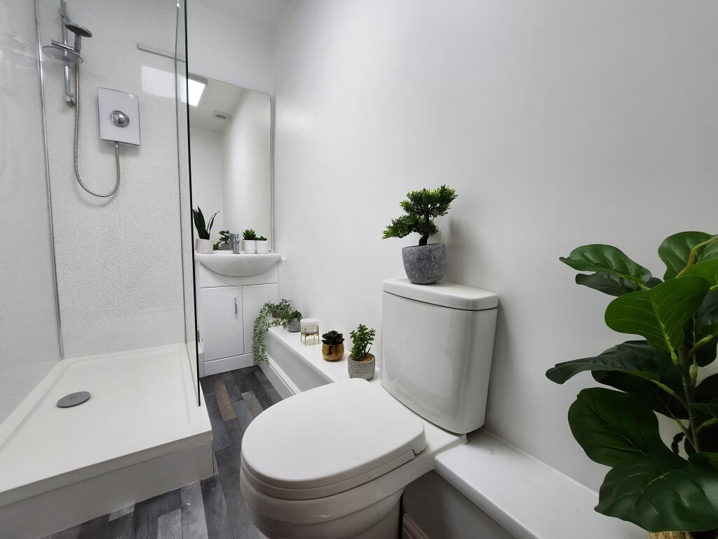
- Bathrooms
- 1
The heatmap indicates the level of crime in the area. The color of the heatmap indicates the crime severity and recency.
Metrics Year-on-Year
- Average area value
- 226,667.00 £Increased by 0.36 %
- Average area rental value
- 1,053.00 £/moIncreased by 3.74 %
- Est rental Yield
- 5.57 %Increased by 3.34 %
- Crime Rate
- 6.00 %Unchanged by 0.00 %
from 225,863.00 £
from 1,015.00 £/mo
from 5.39 %
from 6.00 %
Agent Activity
Jones & Co created the listing.
Nearby Schools
| Name | Type | Ofsted | Distance |
|---|---|---|---|
| George White Junior School | Academy Converter | Good | 0.42 KM |
| Sewell Park Academy | Academy Sponsor Led | Requires improvement | 0.49 KM |
| St. Clements Hill Primary Academy | Free Schools | 0.57 KM | |
| Magdalen Gates Primary School | Community School | Good | 0.65 KM |
| Mousehold Infant & Nursery School | Academy Converter | 0.79 KM |
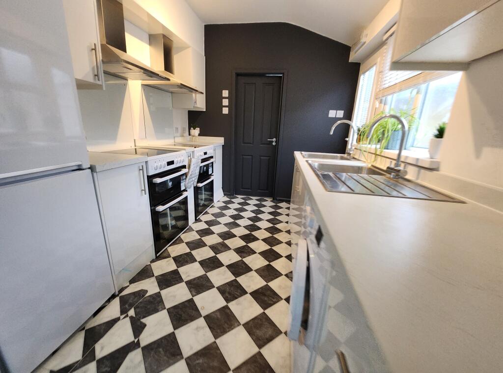
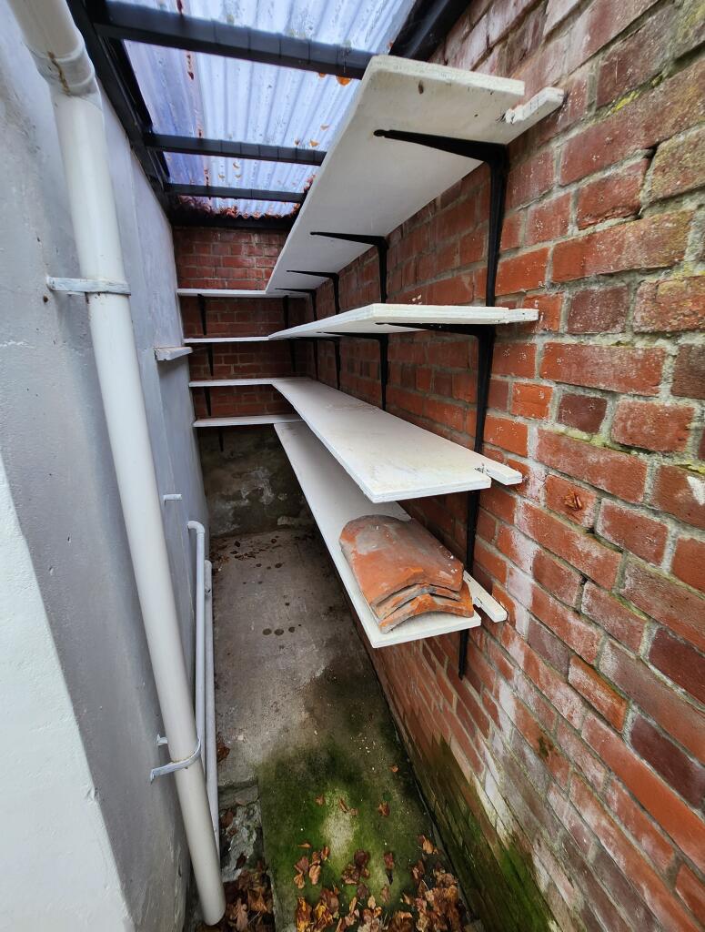
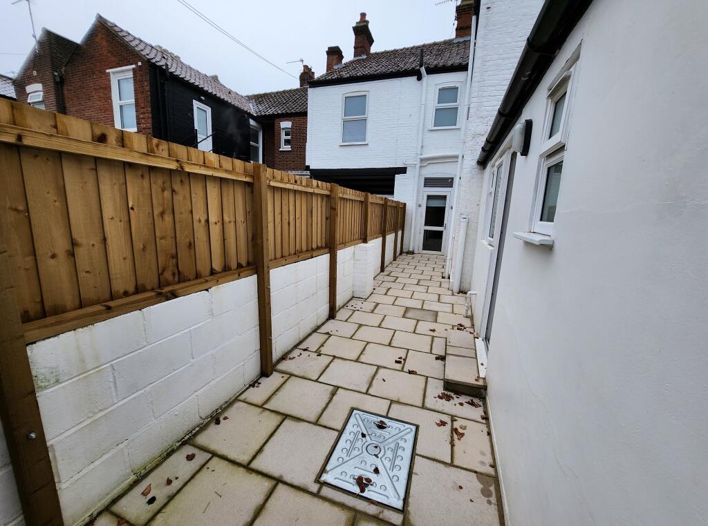
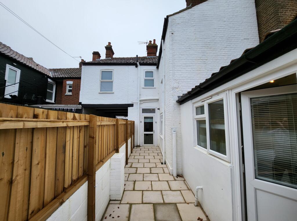
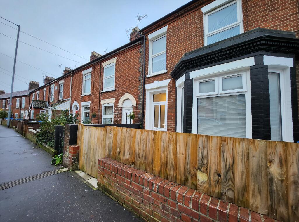
Images


Nearby Streets
| Name | Average Price | Average Sqft | Distance |
|---|---|---|---|
| Denmark Opening | £ 0 | 0 | 0.00 KM |
| Taylors Buildings | £ 0 | 0 | 0.00 KM |
| Le Safferne Gardens | £ 295,000 | 0 | 0.00 KM |
| Silver Road Back Lane | £ 0 | 0 | 0.00 KM |
| Magpie Road | £ 225,000 | 0 | 0.00 KM |
Nearby Transport
| Name | NLC | TLC | Distance |
|---|---|---|---|
| Norwich | 7309 | NRW | 1.96 KM |
Nearby Listings
| Address | Price | Type | Score | Distance |
|---|---|---|---|---|
| Sprowston Road | £ 595 | RENT | Unknown | 0.00 KM |
| Sprowston Road, Norwich, | £ 1,095 | RENT | Unknown | 0.01 KM |
| Sprowston Road, Norwich, Norfolk | £ 1,100 | RENT | Unknown | 0.01 KM |
| Sprowston Road | £ 695 | RENT | Unknown | 0.01 KM |
| Sprowston Road | £ 640 | RENT | Unknown | 0.01 KM |
Nearby Properties
| Address | Price | Distance |
|---|---|---|
| 161 Sprowston Road | £ 147,150 | 0.02 KM |
| 125 Sprowston Road | £ 165,000 | 0.02 KM |
| 185 Sprowston Road | £ 118,500 | 0.02 KM |
| 179 Sprowston Road | £ 172,500 | 0.02 KM |
| 165 Sprowston Road | £ 187,000 | 0.02 KM |