HA
Burden Road, Swindon
By haart
£ 1,100
haart says ..
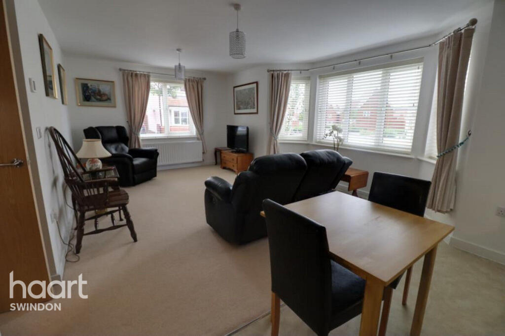
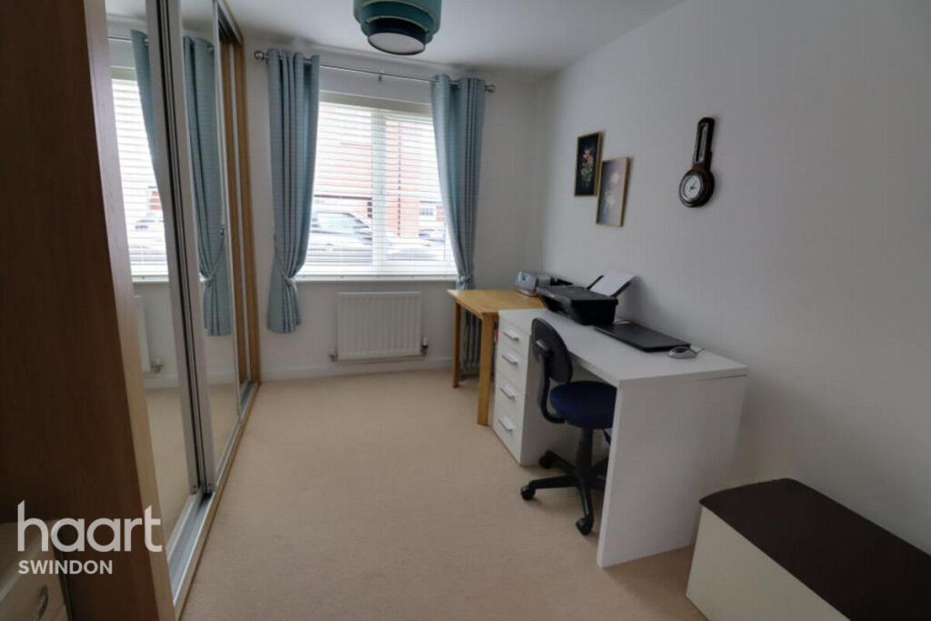
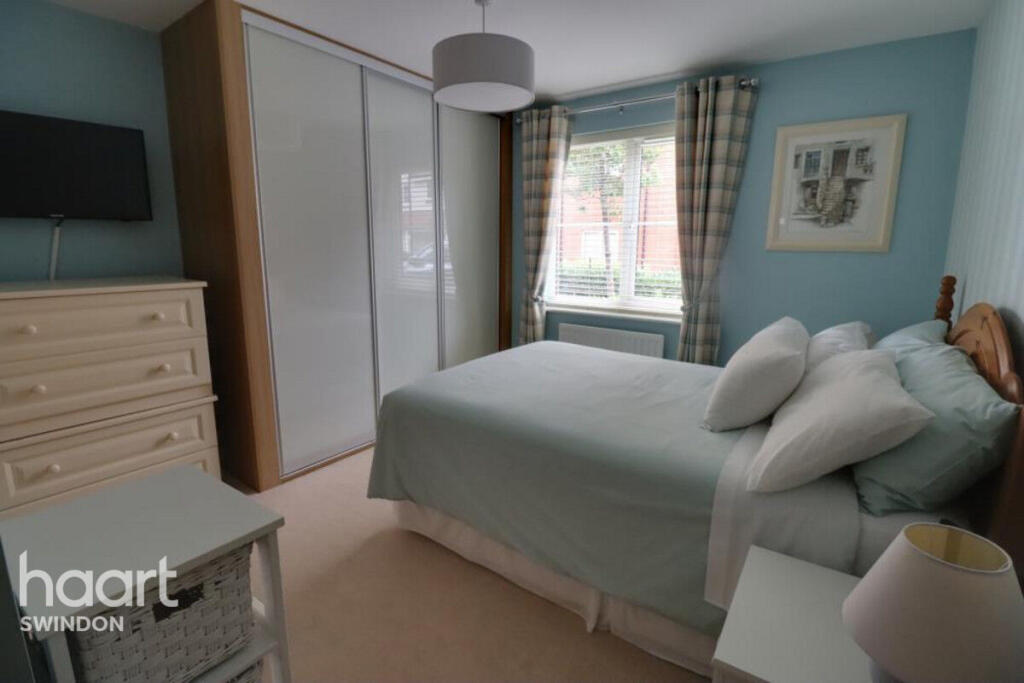
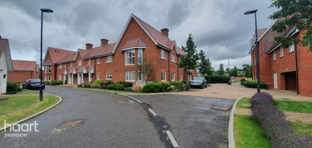
New To The Rental Market With Two Allocated Parking Spaces. Offered Part Furnished And Available End of November!
- Bedrooms
- 2
- Bathrooms
- 1
The heatmap indicates the level of crime in the area. The color of the heatmap indicates the crime severity and recency.
Metrics Year-on-Year
- Average area value
- 424,643.00 £Increased by 10.49 %
- Average area rental value
- 1,206.00 £/moIncreased by 0.50 %
- Est rental Yield
- 3.41 %Decreased by 9.07 %
- Crime Rate
- 13.00 %Unchanged by 0.00 %
from 384,331.00 £
from 1,200.00 £/mo
from 3.75 %
from 13.00 %
Agent Activity
haart created the listing.
Nearby Schools
| Name | Type | Ofsted | Distance |
|---|---|---|---|
| Great Western Academy | Free Schools | 0.57 KM | |
| William Morris Primary School | Free Schools | 0.57 KM | |
| Uplands School | Academy Special Converter | 0.62 KM | |
| Abbey Park School | Academy Sponsor Led | 0.73 KM | |
| Tadpole Farm Cofe Primary Academy | Academy Sponsor Led | Good | 0.84 KM |
Images
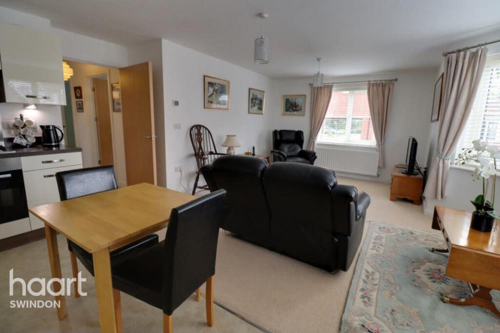
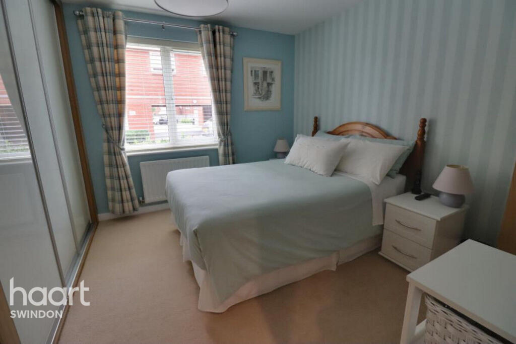
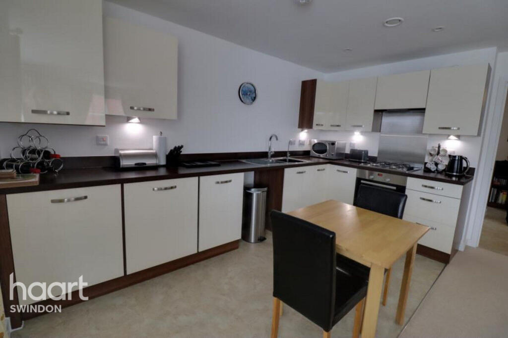
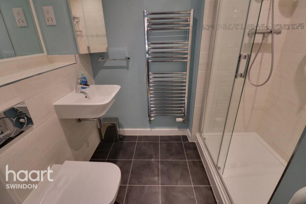
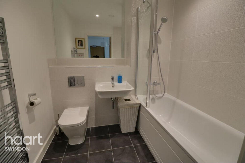

Nearby Streets
| Name | Average Price | Average Sqft | Distance |
|---|---|---|---|
| Greenwood Place | £ 0 | 0 | 0.00 KM |
| Southall Close | £ 0 | 0 | 0.00 KM |
| Lower Widhill Farm Lane | £ 0 | 0 | 0.00 KM |
| Stonywell | £ 455,000 | 0 | 0.00 KM |
| Copperfields | £ 0 | 0 | 0.00 KM |
Nearby Transport
| Name | NLC | TLC | Distance |
|---|---|---|---|
| Swindon (Wilts) | 3333 | SWI | 6.14 KM |
Nearby Listings
| Address | Price | Type | Score | Distance |
|---|---|---|---|---|
| Burden Road, Swindon | £ 1,100 | RENT | Unknown | 0.00 KM |
| Maizey Road, Swindon | £ 925 | RENT | Unknown | 0.10 KM |
| Maizey Road, Tadpole Garden Village, SN25 | £ 1,100 | RENT | Unknown | 0.14 KM |
| Greene Street, Tadpole Garden Village, Swindon, SN25 | £ 1,750 | RENT | Unknown | 0.30 KM |
| Wharncliffe Street, Redhouse, Swindon, SN25 | £ 1,400 | RENT | Unknown | 0.64 KM |
Nearby Properties
| Address | Price | Distance |
|---|---|---|
| 1 William Morris Way | £ 625,100 | 0.08 KM |
| 31 William Morris Way | £ 290,000 | 0.08 KM |
| 5 William Morris Way | £ 274,995 | 0.09 KM |
| 9 William Morris Way | £ 464,995 | 0.09 KM |
| 3 William Morris Way | £ 274,995 | 0.09 KM |