

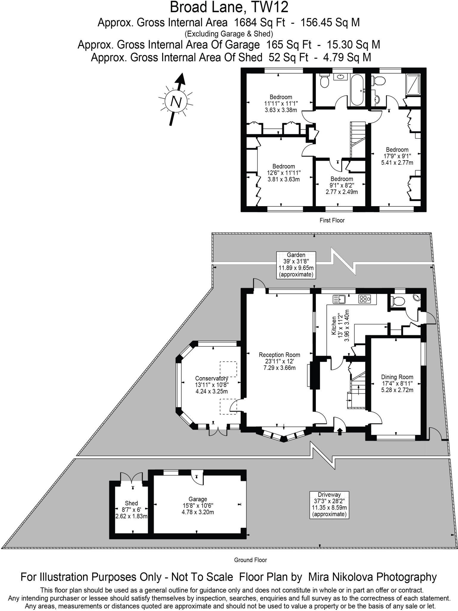
Broad Lane, Hampton
By Griffin Stevens
£ 1,150,000
Griffin Stevens says ..
##AVAILABLE TO VIEW##
- Bedrooms
- 4
- Bathrooms
- 2
The heatmap indicates the level of crime in the area. The color of the heatmap indicates the crime severity and recency.
Metrics Year-on-Year
- Average area value
- 557,772.00 £Decreased by 25.18 %
- Average area rental value
- 2,626.00 £/moDecreased by 24.91 %
- Est rental Yield
- 5.65 %Increased by 0.36 %
- Crime Rate
- 1.00 %Unchanged by 0.00 %
from 745,509.00 £
from 3,497.00 £/mo
from 5.63 %
from 1.00 %
Agent Activity
Griffin Stevens created the listing.
Nearby Schools
| Name | Type | Ofsted | Distance |
|---|---|---|---|
| Hampton Infant School And Nursery | Community School | Outstanding | 0.45 KM |
| Jack And Jill School | Other Independent School | Outstanding | 0.46 KM |
| Buckingham Primary School | Community School | Good | 0.61 KM |
| Tangley Park Children'S Centre | Children's Centre | 0.61 KM | |
| Hampton Junior School | Community School | Good | 0.69 KM |
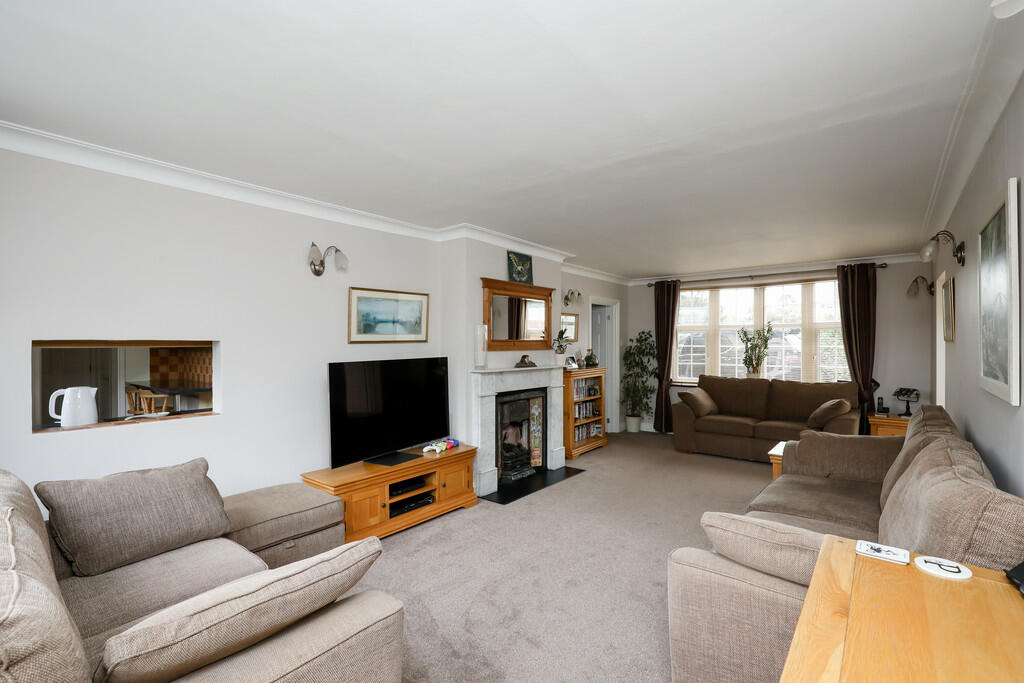
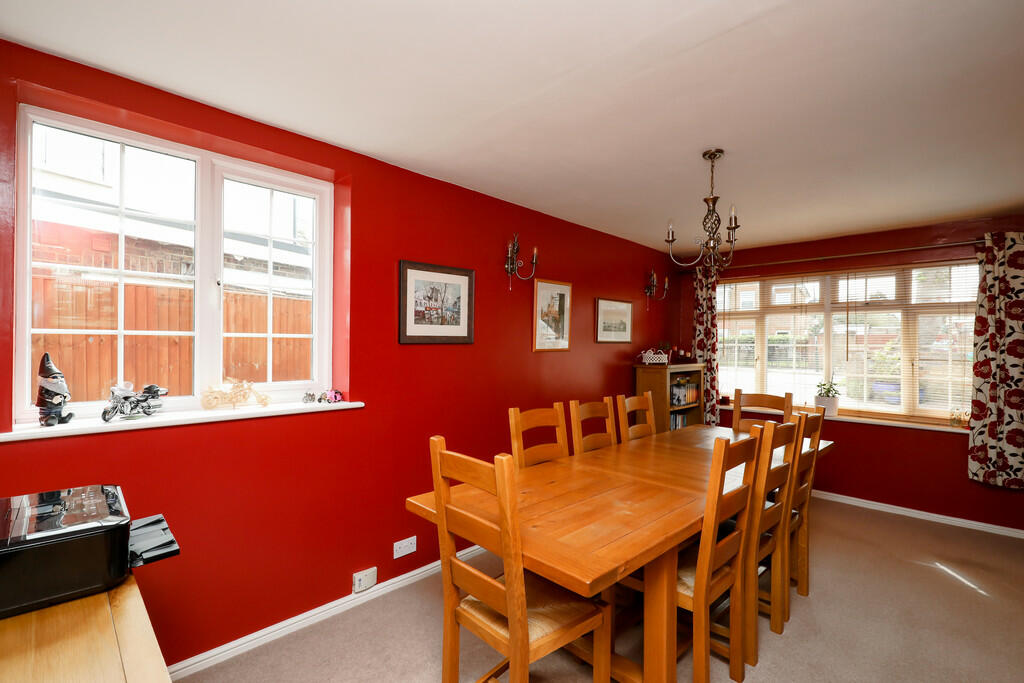
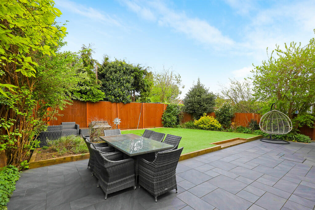
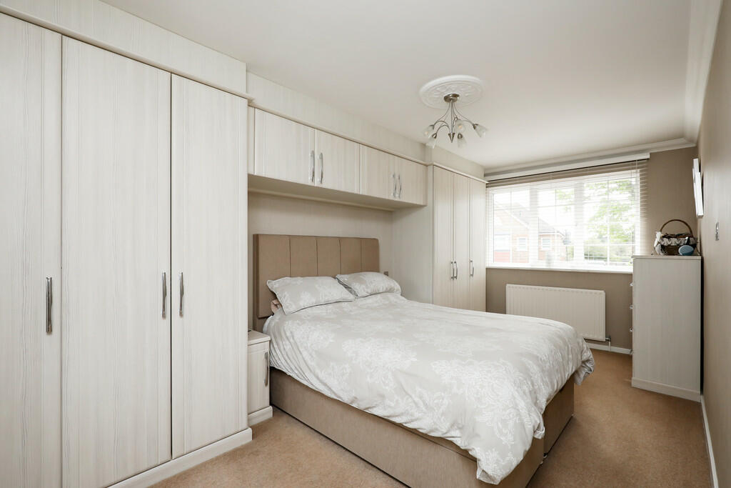
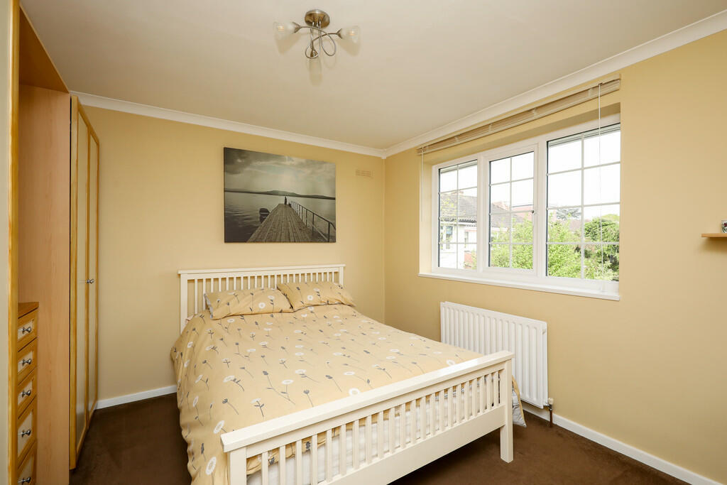
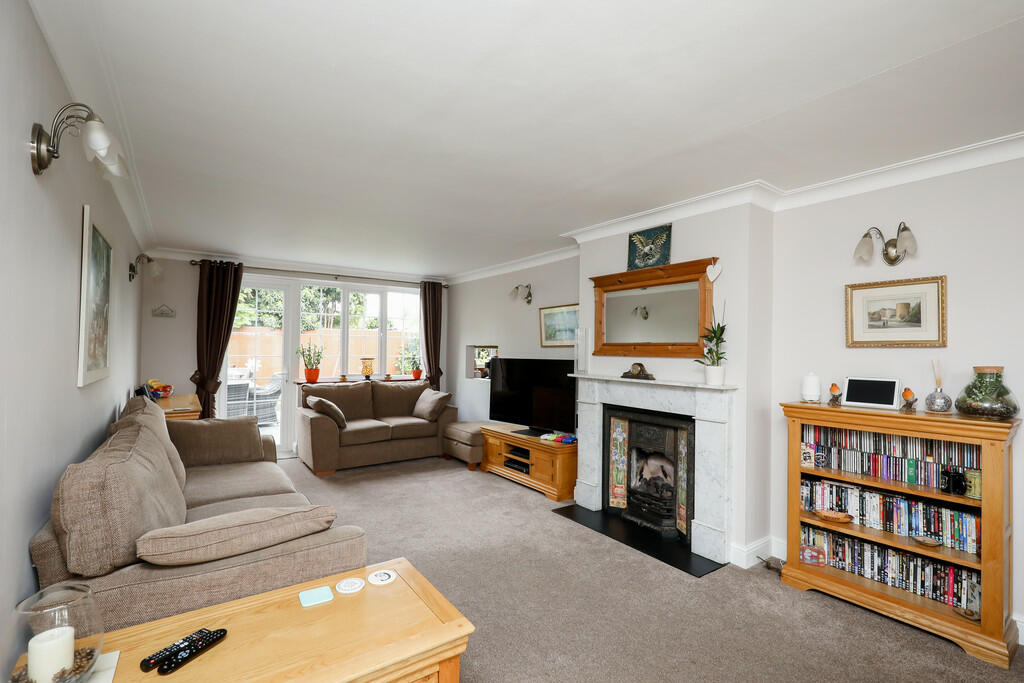
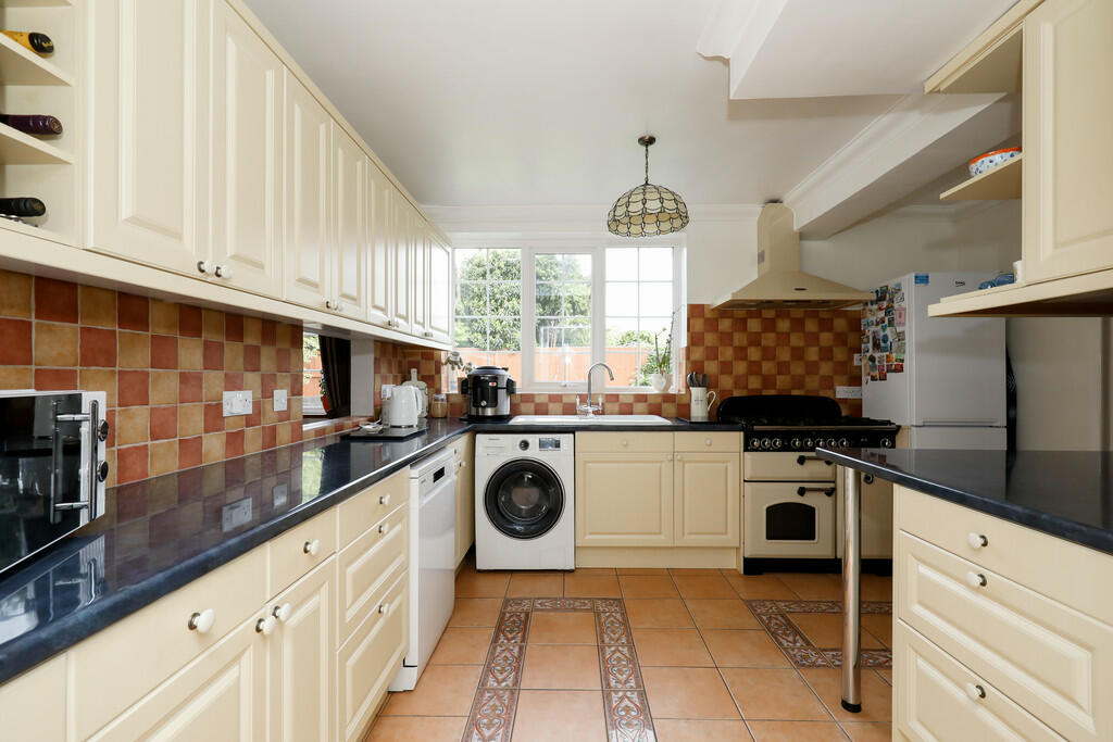
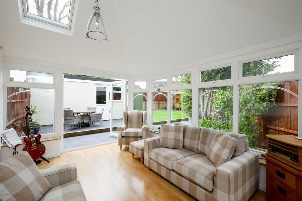
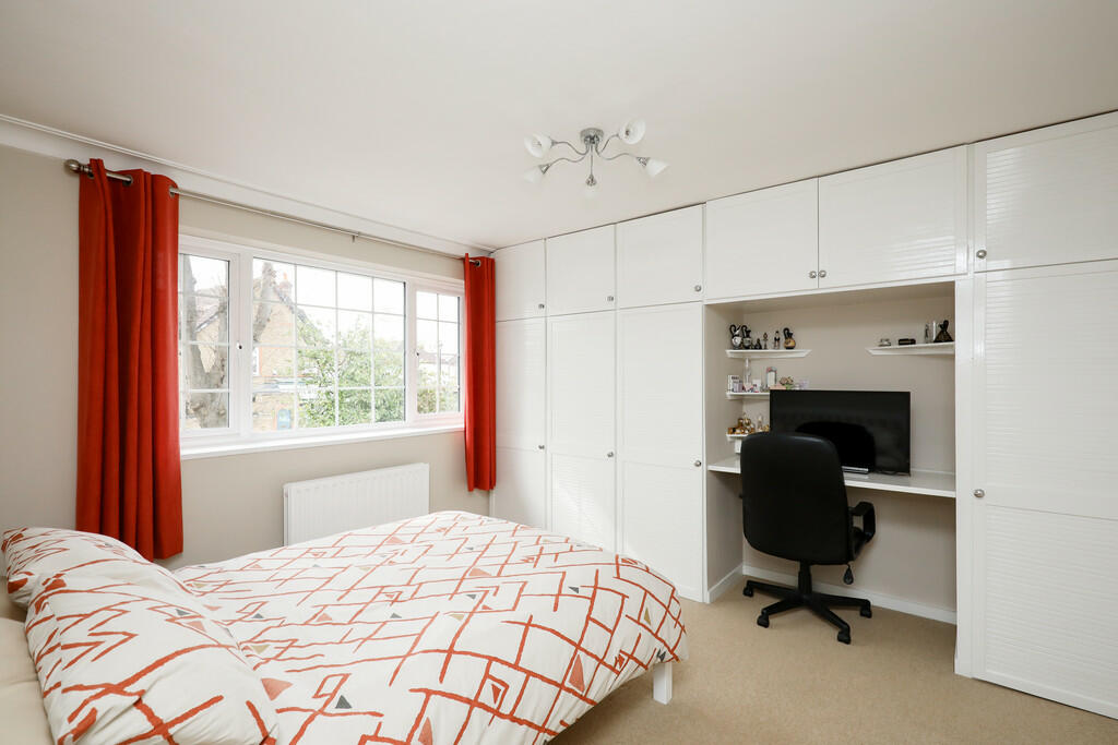
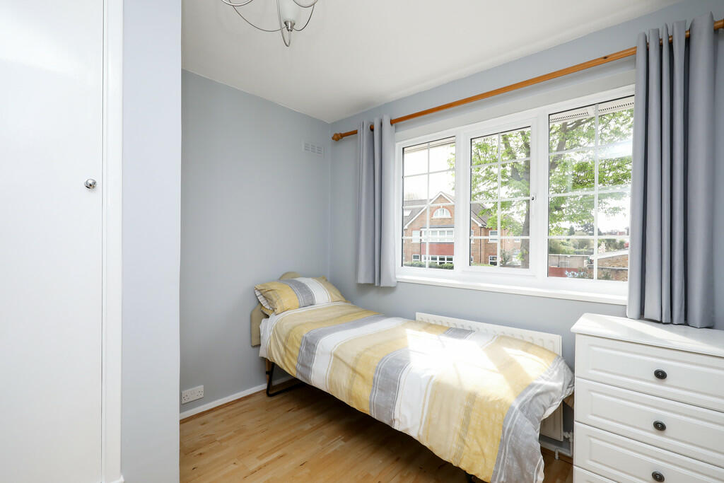
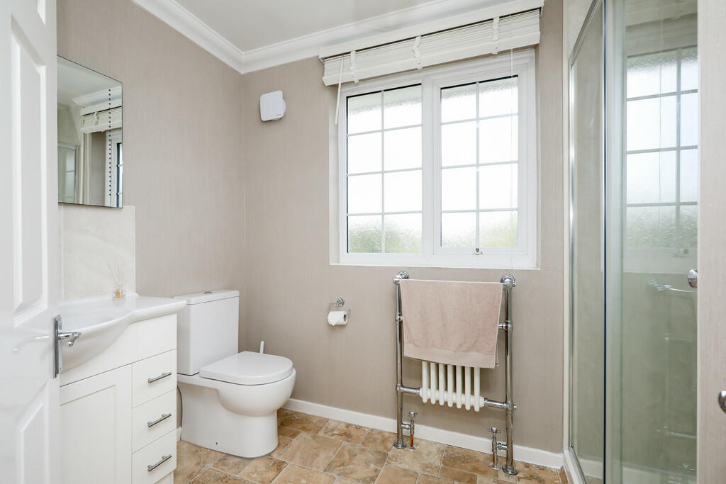
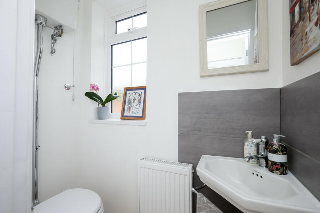
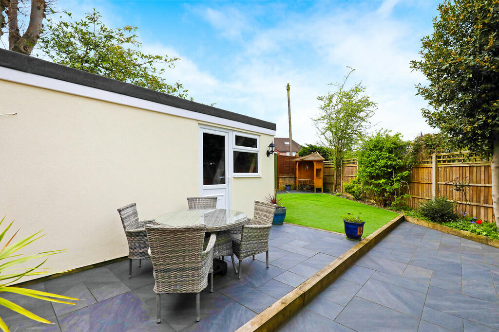
Images


Nearby Streets
| Name | Average Price | Average Sqft | Distance |
|---|---|---|---|
| Linear Walk | £ 499,950 | 0 | 0.00 KM |
| Driveway to 5 and 5A Acacia Road | £ 0 | 0 | 0.00 KM |
| Maple Close | £ 0 | 0 | 0.00 KM |
| Coombe Close | £ 0 | 0 | 0.00 KM |
| Garden Court | £ 0 | 0 | 0.00 KM |
Nearby Transport
| Name | NLC | TLC | Distance |
|---|---|---|---|
| Hampton | 5560 | HMP | 0.78 KM |
| Fulwell | 5587 | FLW | 2.99 KM |
| Whitton | 5611 | WTN | 3.50 KM |
| Kempton Park Racecourse | 5678 | KMP | 3.95 KM |
| Hampton Court | 5561 | HMC | 4.12 KM |
Nearby Listings
| Address | Price | Type | Score | Distance |
|---|---|---|---|---|
| Broad Lane, Hampton | £ 1,150,000 | BUY | Unknown | 0.00 KM |
| Rosetree Place, Hampton, TW12 | £ 450,000 | BUY | 7 / 10 | 0.10 KM |
| Percy Road, Hampton, TW12 | £ 699,950 | BUY | 5 / 10 | 0.15 KM |
| Percy Road, Hampton, TW12 | £ 850,000 | BUY | 8 / 10 | 0.16 KM |
| Percy Road, Hampton, TW12 | £ 825,000 | BUY | 7 / 10 | 0.16 KM |
Nearby Properties
| Address | Price | Distance |
|---|---|---|
| 56 Broad Lane | £ 540,000 | 0.00 KM |
| 66 Broad Lane | £ 385,000 | 0.00 KM |
| 74 Broad Lane | £ 565,000 | 0.00 KM |
| 60 Broad Lane | £ 800,000 | 0.00 KM |
| 3 Rosetree Place | £ 375,000 | 0.11 KM |