
Barbers Drove South, Crowland, Peterborough
By City & County (UK) Ltd
£ 350,000
Reviews
3 out of 5 stars
City & County (UK) Ltd says ..
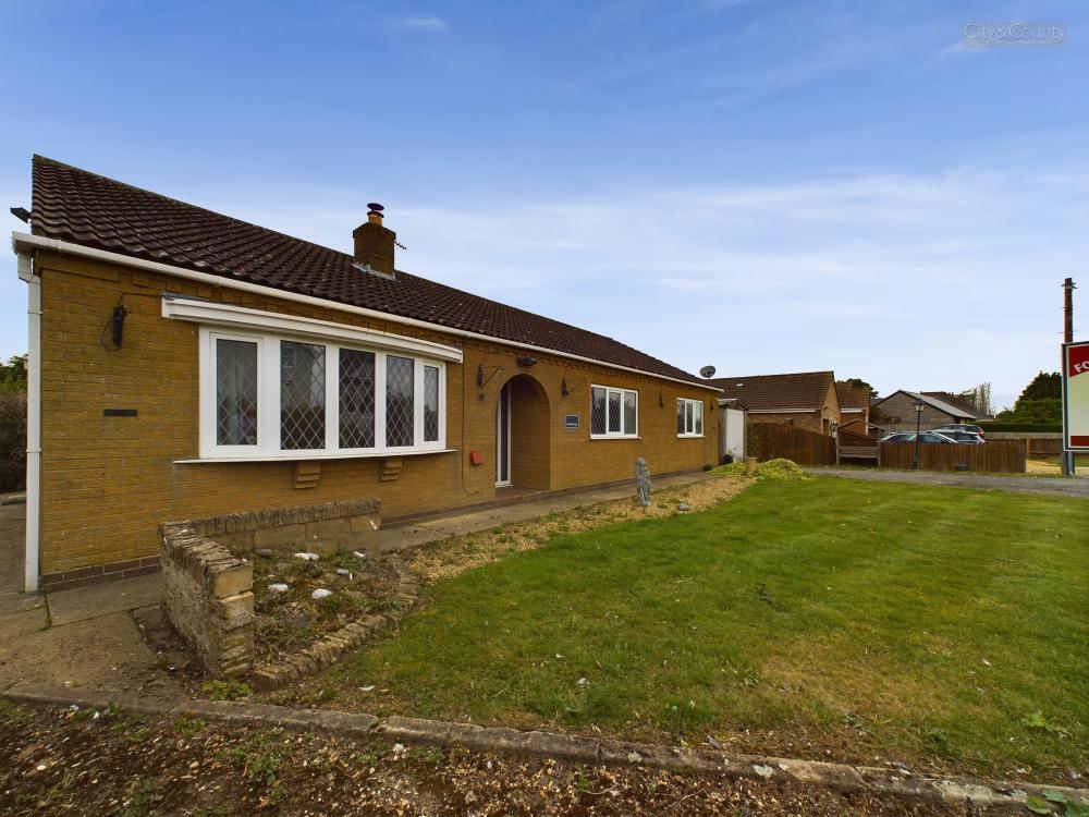
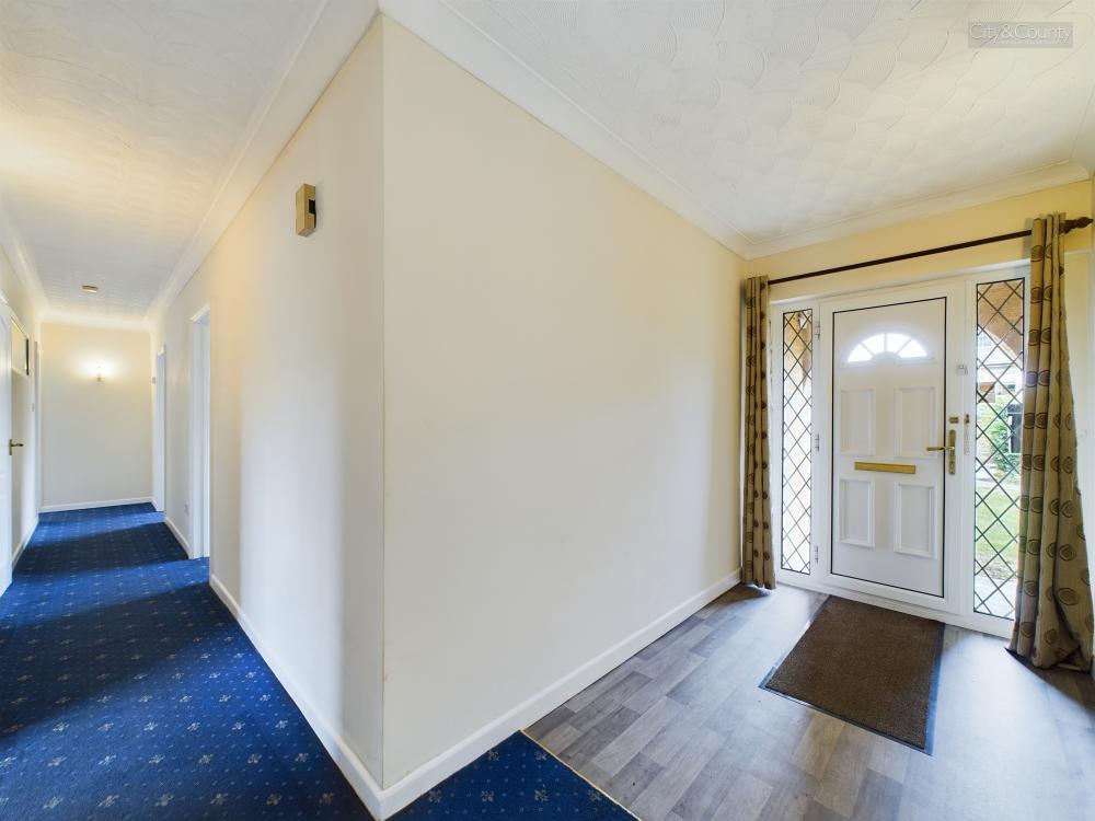
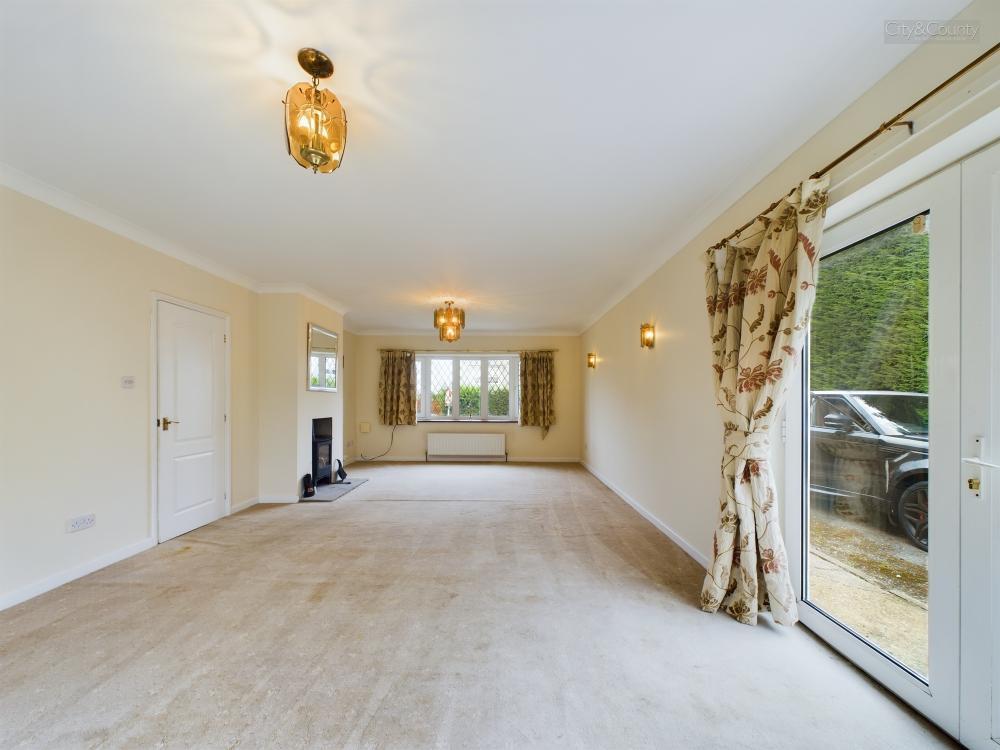
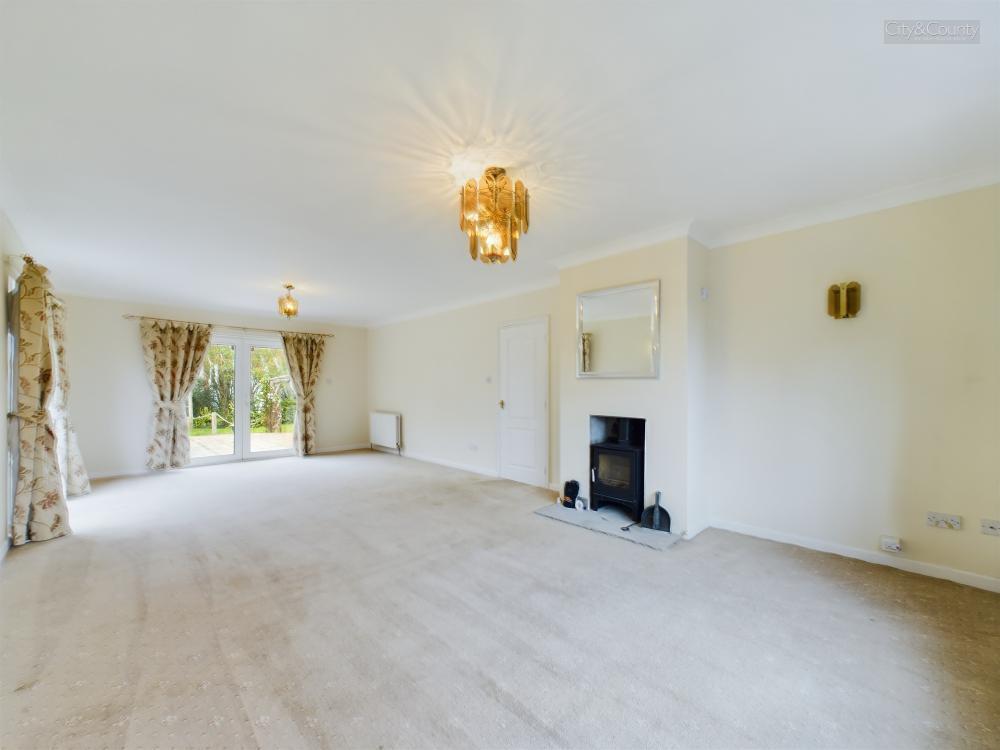
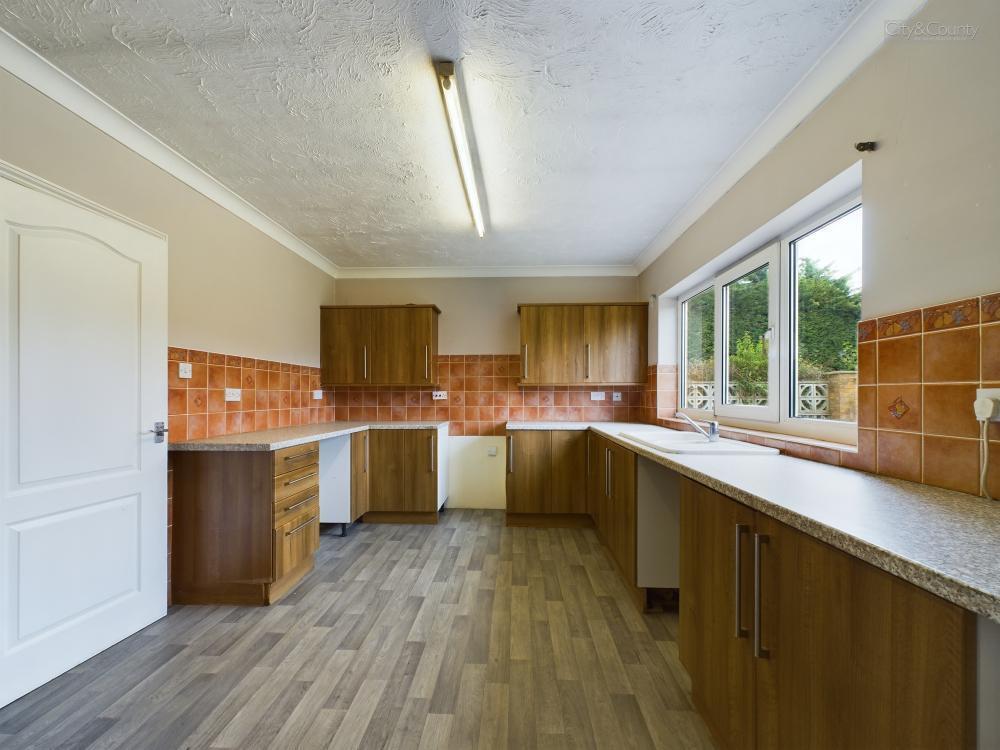
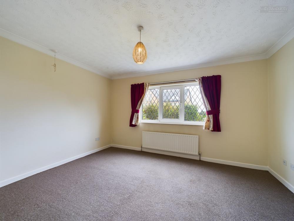
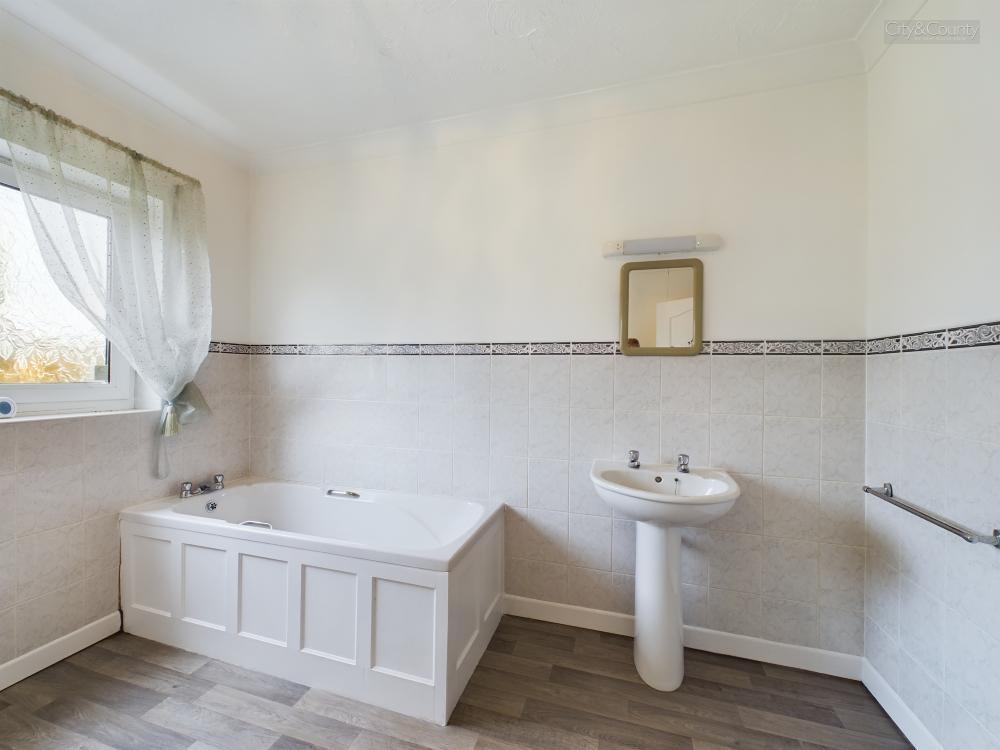
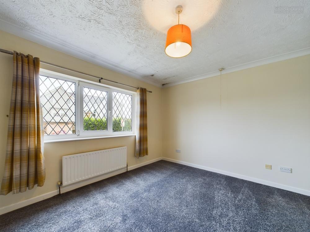
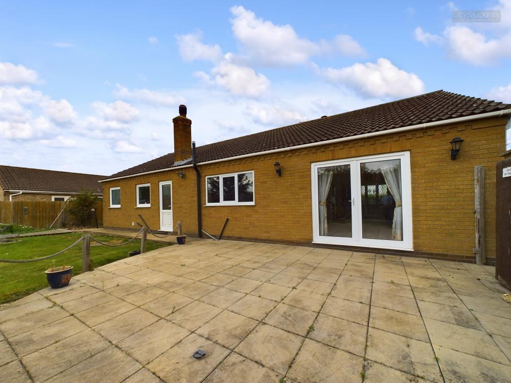
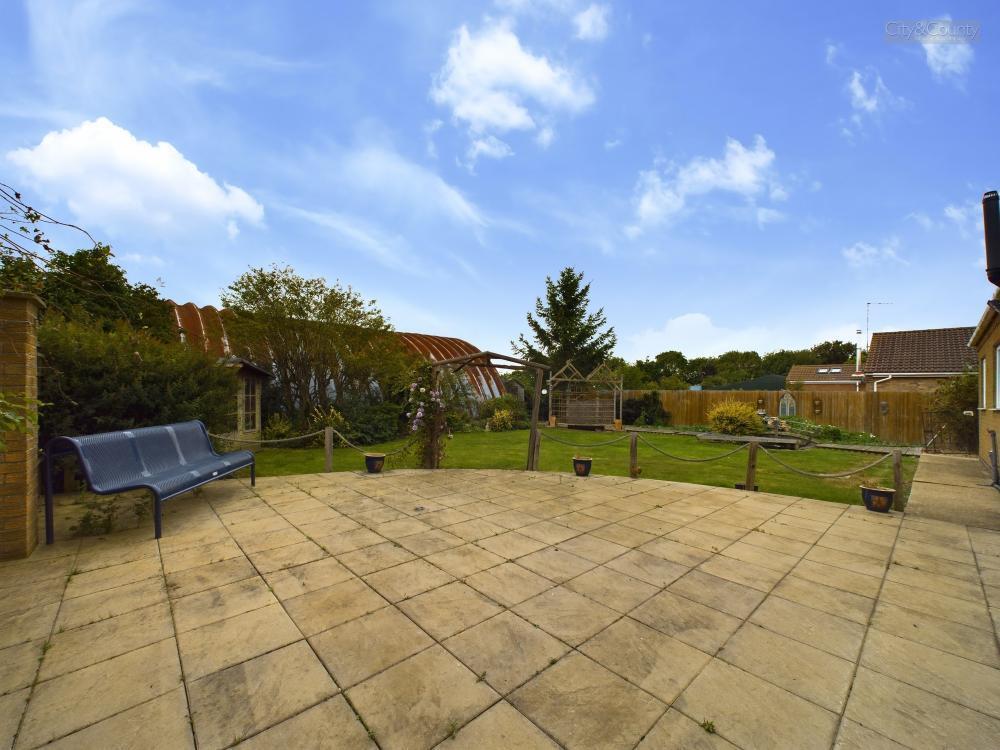
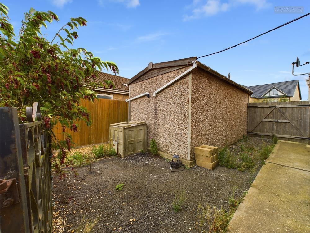
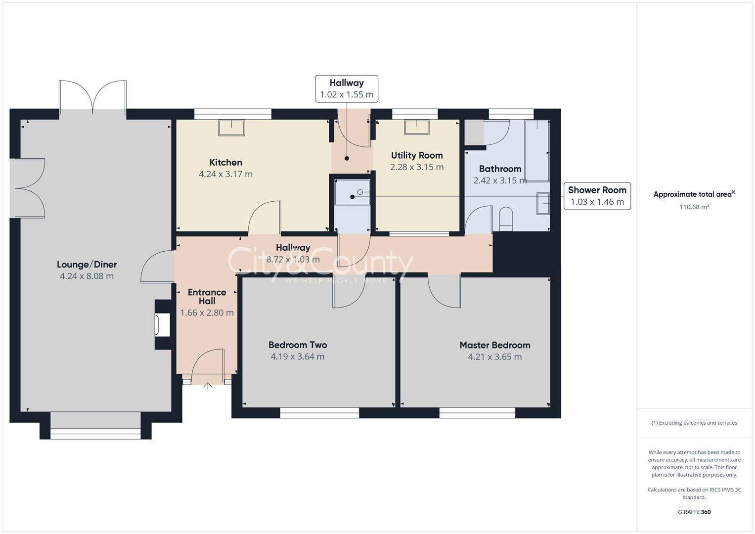
Nestled in the charming Lincolnshire Market town of Crowland, this detached bungalow on Barbers Drove South offers a tranquil retreat . The property sits on a god plot with generous front and rear gardens driveway and single garage .Accommodation boasts a deceptive spaciousness, with one recepti...
Property Oracle says ..
The property is a detached bungalow located in Crowland, Peterborough. It has two bedrooms, one bathroom, and a total area of 1,181.78 sqft on a plot of 1,191.35 sqft. The list price is £350,000. The average house price in the area is £349,415, with an average price per sqft of £333. The property appears to be in good condition, with a modern kitchen and bathroom. The interior is presented well and is ready to move into. The property benefits from a good size garden with a patio area and shed. The location is in a quiet residential area. While there are primary schools within a reasonable distance, the Ofsted ratings for some are ‘Requires Improvement’. There is no information provided about local transport links or amenities. Considering the property’s condition, the size of the plot, and the average house price in the area, the list price of £350,000 appears to be reasonable. The property is slightly larger than the average property in the area (1,181.78 sqft vs 1,048 sqft). However, comparable properties in the immediate vicinity have sold for higher prices. The lack of information on nearby transportation links and the mixed Ofsted ratings of nearby schools should be considered.
Therefore, we give this property 7 / 10. *Disclaimer: This is our option and does constitute a recommendation or financial advice. Do your own research. *
- Price
- 7
- Condition
- 8
- Location
- 6
- Land
- 7
- Bedrooms
- 2
- Bathrooms
- 1
- Sqft (est)
- 1,181.78
- Lot (est)
- 1,191.35
The heatmap indicates the level of crime in the area. The color of the heatmap indicates the crime severity and recency.
Metrics Year-on-Year
- Average area value
- 347,778.00 £Increased by 12.57 %
- Est sale value
- 317,898.82 £Decreased by 30.49 %
- Average area rental value
- 850.00 £/moDecreased by 11.83 %
- Est letting value
- 0.00 £/moDecreased by 100.00 %
- Est rental Yield
- 2.93 %Decreased by 21.66 %
- Crime Rate
- 1.00 %Unchanged by 0.00 %
Agent Activity
City & County (UK) Ltd created the listing.
Nearby Schools
| Name | Type | Ofsted | Distance |
|---|---|---|---|
| Crowland Childrens Centre | Children's Centre Linked Site | 1.16 KM | |
| South View Community Primary School | Community School | Requires improvement | 1.25 KM |
| Newborough Cofe Primary School | Voluntary Controlled School | Requires improvement | 7.16 KM |
| Eye Cofe Primary School | Voluntary Controlled School | Good | 7.24 KM |
| Deeping St Nicholas Primary School | Community School | Good | 8.26 KM |
Images


Nearby Streets
| Name | Average Price | Average Sqft | Distance |
|---|---|---|---|
| Old Abbey Farm Road | £ 250,000 | 0 | 0.00 KM |
| Orchard Close | £ 0 | 0 | 0.00 KM |
| Hardwick Close | £ 200,000 | 0 | 0.00 KM |
| Fallow Field Road | £ 0 | 0 | 0.00 KM |
| Horseshoe Yard | £ 0 | 0 | 0.00 KM |
Nearby Listings
| Address | Price | Type | Score | Distance |
|---|---|---|---|---|
| Barbers Drove South, Crowland, Peterborough | £ 350,000 | BUY | 7 / 10 | 0.00 KM |
| Barbers Drove South, Crowland, Peterborough, PE6 | £ 320,000 | BUY | 7 / 10 | 0.08 KM |
| Barbers Drove North, Crowland, Peterborough, PE6 | £ 375,000 | BUY | Unknown | 0.12 KM |
| Barbers Drove North, Crowland, Peterborough, PE6 | £ 475,000 | BUY | Unknown | 0.14 KM |
| Barbers Drove North, Crowland, Peterborough | £ 310,000 | BUY | Unknown | 0.16 KM |
Nearby Properties
| Address | Price | Distance |
|---|---|---|
| 10 Barbers Drove South | £ 190,000 | 0.04 KM |
| 15 Barbers Drove | £ 132,500 | 0.17 KM |
| 6 Harrington Way | £ 230,000 | 0.22 KM |
| 2 Harrington Way | £ 96,000 | 0.22 KM |
| 9 Barbers Drove North | £ 550,000 | 0.26 KM |