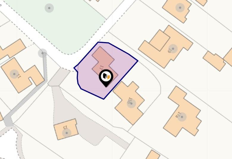
Stamford Drive, Cropston, LE7
By Newton Fallowell
£ 525,000
Reviews
3 out of 5 stars
Newton Fallowell says ..
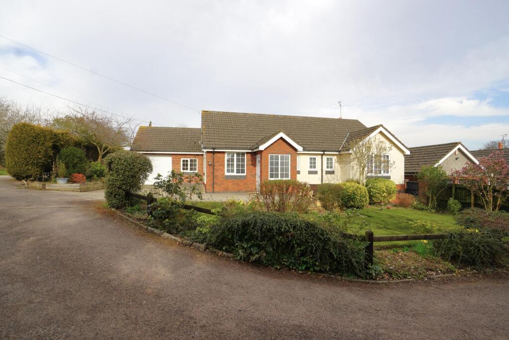
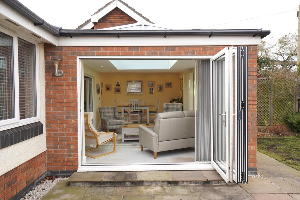
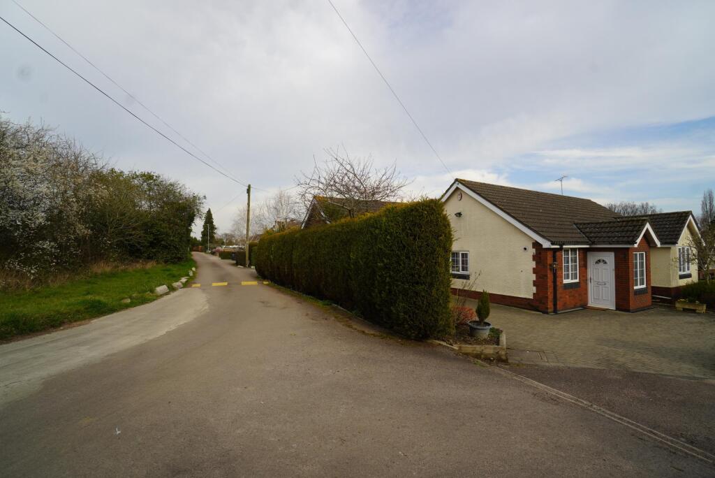
A quality extended detached bungalow, offering an impressive interior and occupying this prime Charnwood Forest village right on the fringes of Bradgate Park.
Property Oracle says ..
The property is a 2 bedroom, 2 bathroom bungalow located in Cropston, Leicestershire. It is listed at £525,000 and has 1,331.80 sqft of living space and a plot size of 1,111.70 sqft.
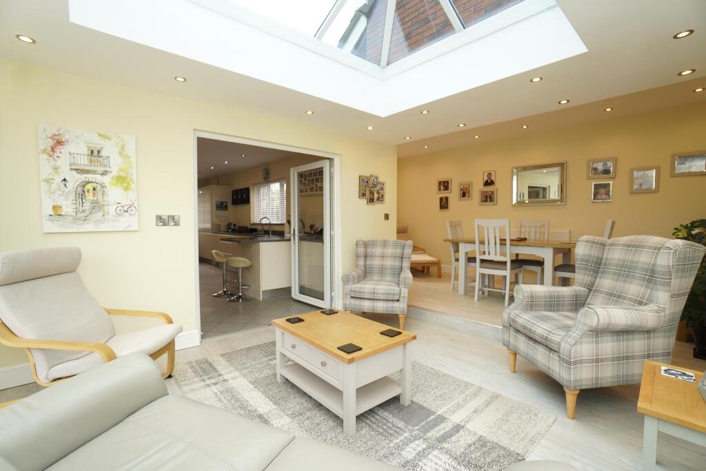
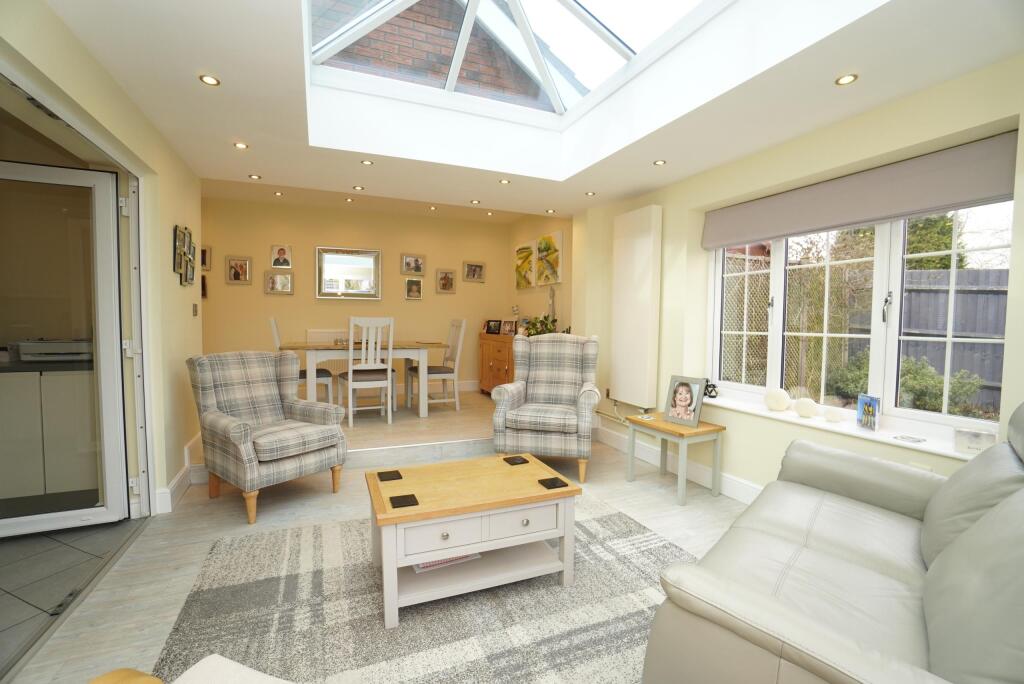
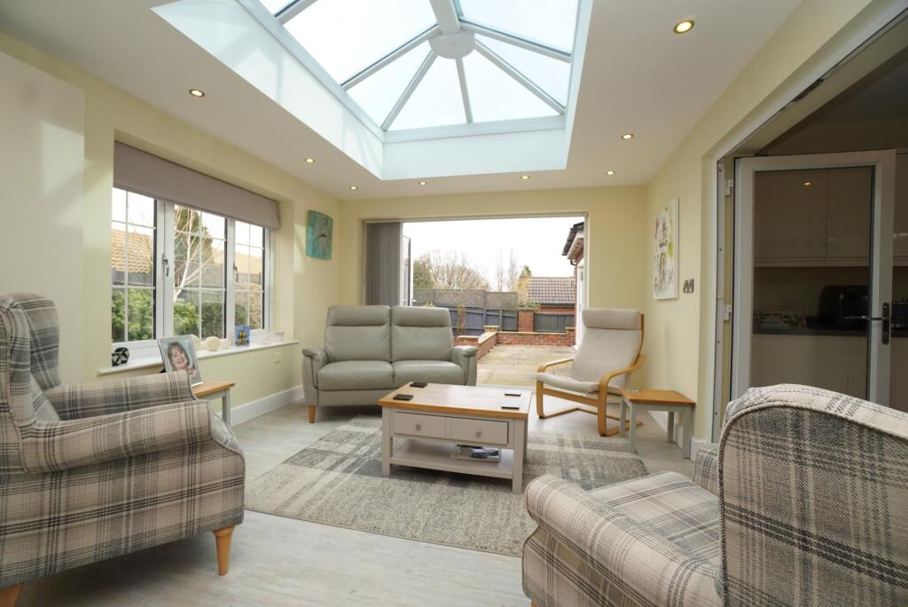
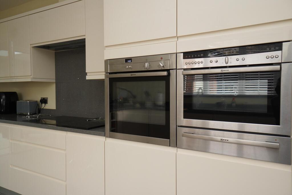
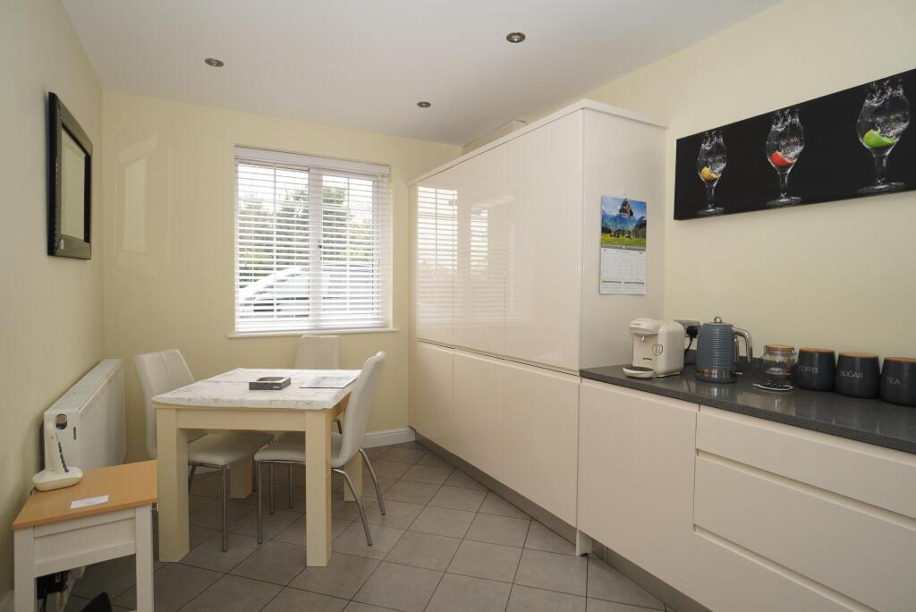
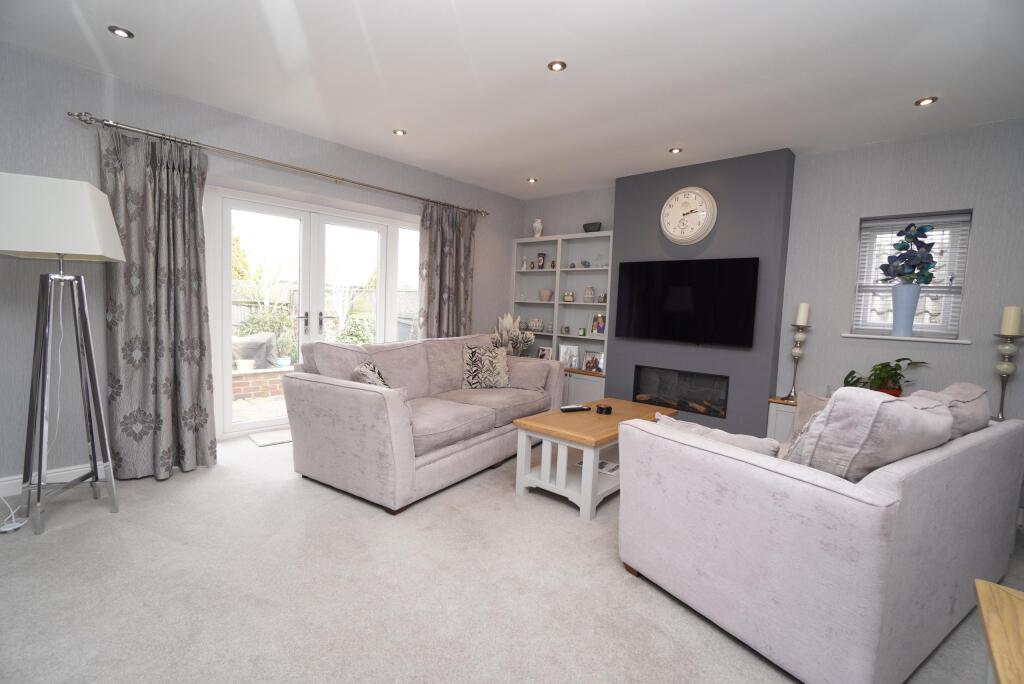
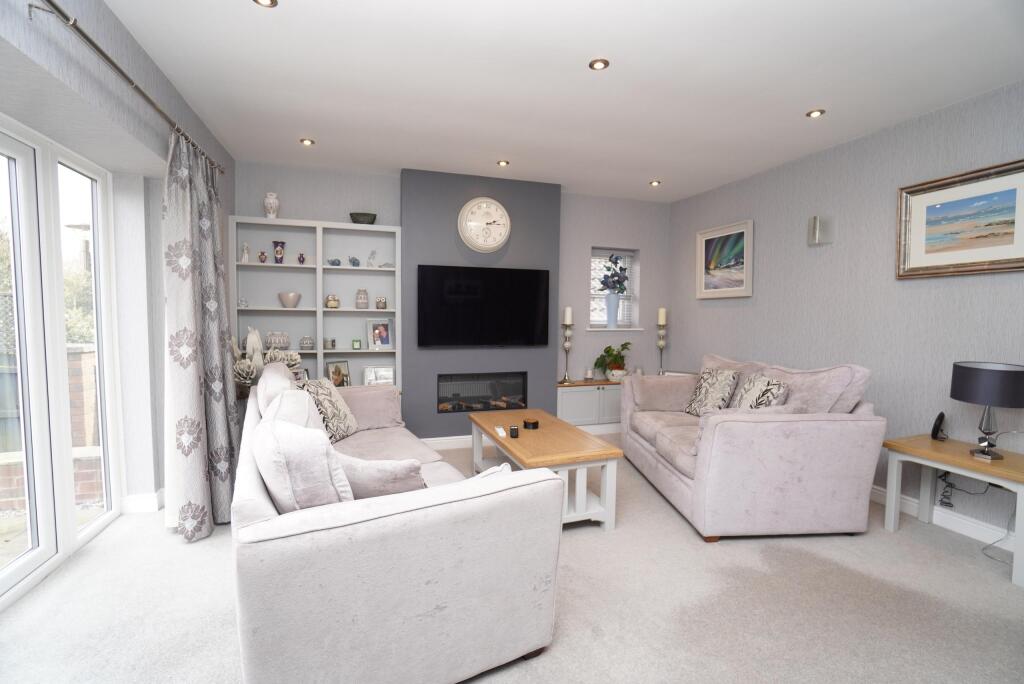
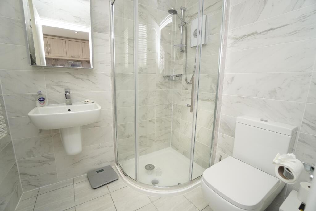
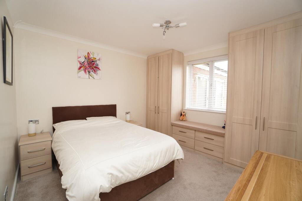
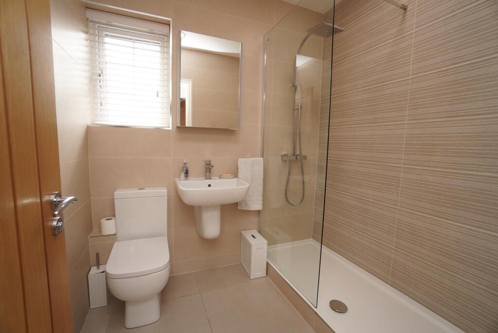
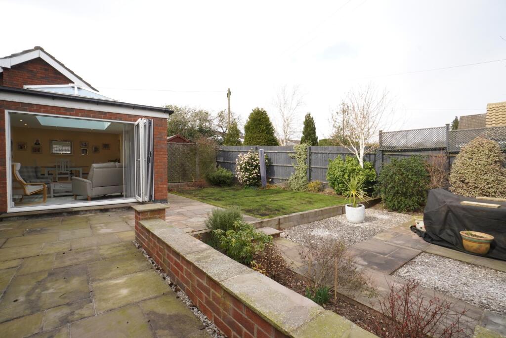
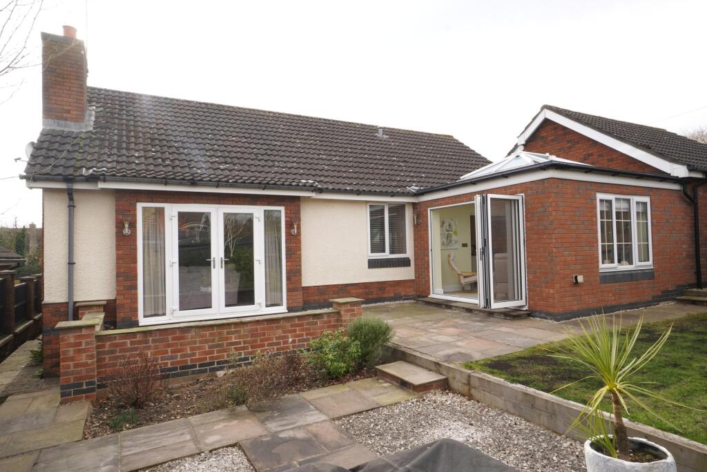
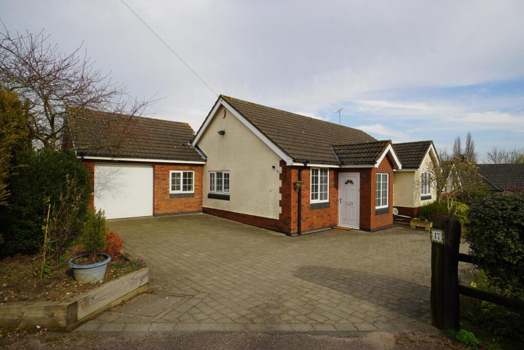
The property appears to be in excellent condition. The images show a recently renovated interior with modern fixtures and fittings throughout. The kitchen and bathrooms are particularly modern. There is also evidence of a recent extension or conservatory. The exterior is well maintained with a neat garden.
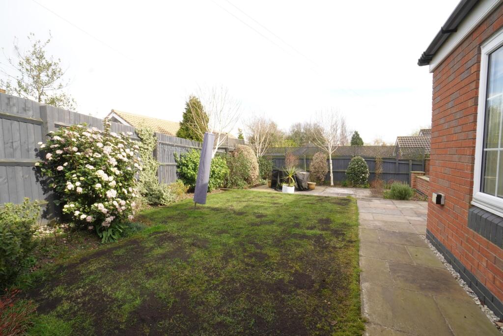
The property has a good sized garden, visible in the provided images. While not expansive, it offers sufficient outdoor space for a bungalow of this size.
The average house price in the area is £549,850, with an average price per sqft of £436. This property is slightly smaller than average at 1,331.80 sqft compared to the average of 1,260 sqft. Given its excellent condition, modern features, and the presence of a garden, the asking price of £525,000 appears to be reasonable, possibly slightly below average for a property of this quality in the area. However, more information on comparable properties would be needed to confirm this.
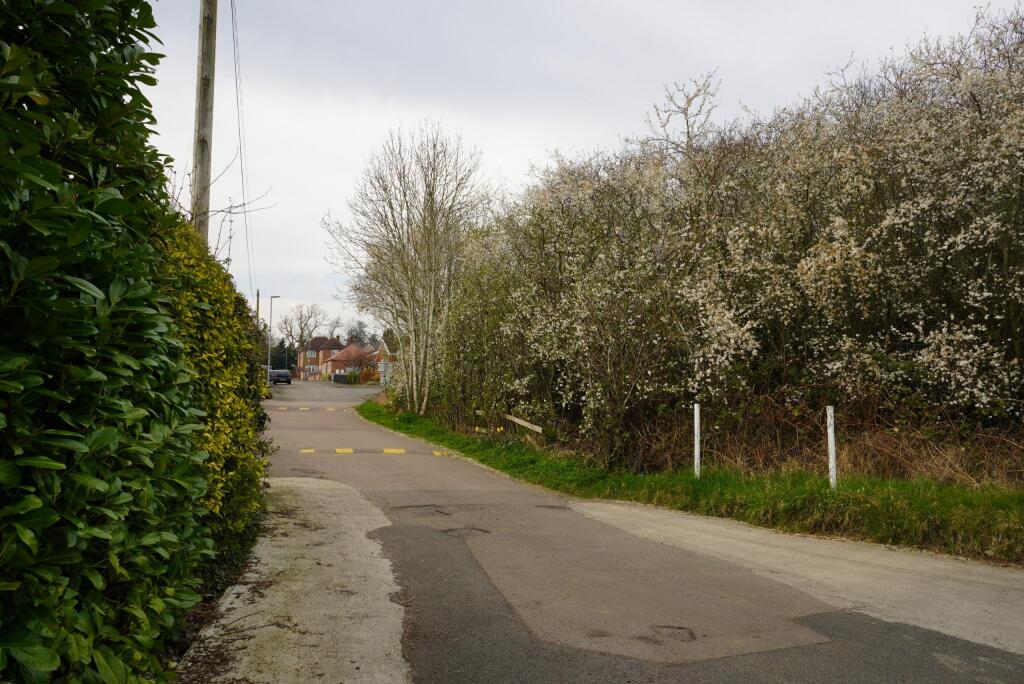
The location is in Cropston, a village in Leicestershire. While specific details about the proximity to schools, transport links, and amenities are not provided, the images suggest a quiet residential area. More information regarding the location’s proximity to amenities and transport links would be beneficial in providing a more detailed assessment.
Therefore, we give this property 7 / 10. *Disclaimer: This is our option and does constitute a recommendation or financial advice. Do your own research. *
- Price
- 8
- Condition
- 9
- Location
- 7
- Land
- 7
- Bedrooms
- 2
- Bathrooms
- 2
- Sqft (est)
- 1,331.80
- Lot (est)
- 1,111.70
The heatmap indicates the level of crime in the area. The color of the heatmap indicates the crime severity and recency.
Metrics Year-on-Year
- Average area value
- 566,250.00 £Increased by 18.62 %
- Est sale value
- 428,839.60 £Decreased by 3.88 %
- Average area rental value
- 1,093.00 £/moDecreased by 15.53 %
- Est letting value
- 0.00 £/mo
- Est rental Yield
- 2.32 %Decreased by 28.62 %
- Crime Rate
- 4.00 %Unchanged by 0.00 %
Agent Activity
Newton Fallowell created the listing.
Nearby Schools
| Name | Type | Ofsted | Distance |
|---|---|---|---|
| Richard Hill Church Of England Primary School | Academy Converter | 1.52 KM | |
| Woolden Hill Primary School | Academy Sponsor Led | Good | 1.93 KM |
| The Martin High School Anstey | Academy Converter | Good | 2.12 KM |
| Swithland St Leonard'S Church Of England Primary School | Voluntary Controlled School | Outstanding | 2.27 KM |
| Heatherbrook Primary Academy | Academy Sponsor Led | Requires improvement | 2.32 KM |
Images


Nearby Streets
| Name | Average Price | Average Sqft | Distance |
|---|---|---|---|
| Chapel Close | £ 0 | 0 | 0.00 KM |
Nearby Transport
| Name | NLC | TLC | Distance |
|---|---|---|---|
| Barrow-Upon-Soar | 1903 | BWS | 7.17 KM |
| Sileby | 1902 | SIL | 8.49 KM |
| Leicester | 1947 | LEI | 8.88 KM |
| Loughborough | 1897 | LBO | 9.81 KM |
Nearby Listings
| Address | Price | Type | Score | Distance |
|---|---|---|---|---|
| Stamford Drive, Cropston, LE7 | £ 525,000 | BUY | 7 / 10 | 0.00 KM |
| Stamford Drive, Cropston, LE7 | £ 825,000 | BUY | 8 / 10 | 0.06 KM |
| Stamford Drive, Leicester, LE7 | £ 450,000 | BUY | 6 / 10 | 0.07 KM |
| Waterfield Road, Cropston, LE7 | £ 425,000 | BUY | 6 / 10 | 0.15 KM |
| Stamford Drive, Cropston | £ 350,000 | BUY | 7 / 10 | 0.18 KM |
Nearby Properties
| Address | Price | Distance |
|---|---|---|
| 10 Waterfield Road | £ 330,000 | 0.21 KM |
| 36 Waterfield Road | £ 297,500 | 0.21 KM |
| 4 Waterfield Road | £ 290,000 | 0.21 KM |
| 24 Waterfield Road | £ 245,000 | 0.21 KM |
| 8 Waterfield Road | £ 375,000 | 0.21 KM |