HA
Osmaston Road, Derby
By haart
£ 1,175
haart says ..
**NO DEPOSIT OPTION AVAILABLE**
- Bedrooms
- 4
- Bathrooms
- 1
The heatmap indicates the level of crime in the area. The color of the heatmap indicates the crime severity and recency.
Metrics Year-on-Year
- Average area value
- 358,333.00 £Increased by 6.25 %
- Average area rental value
- 1,283.00 £/moDecreased by 3.24 %
- Est rental Yield
- 4.30 %Decreased by 8.90 %
- Crime Rate
- 1.00 %Unchanged by 0.00 %
from 337,265.00 £
from 1,326.00 £/mo
from 4.72 %
from 1.00 %
Agent Activity
haart created the listing.
Nearby Schools
| Name | Type | Ofsted | Distance |
|---|---|---|---|
| Ashwood Spencer Academy | Academy Sponsor Led | 0.73 KM | |
| Zaytouna Primary School | Free Schools | Requires improvement | 0.74 KM |
| Utc Derby Pride Park | University Technical College | 1.16 KM | |
| St James' Church Of England Aided Junior School | Academy Converter | 1.19 KM | |
| Rosehill Infant And Nursery School | Community School | Good | 1.26 KM |
Images
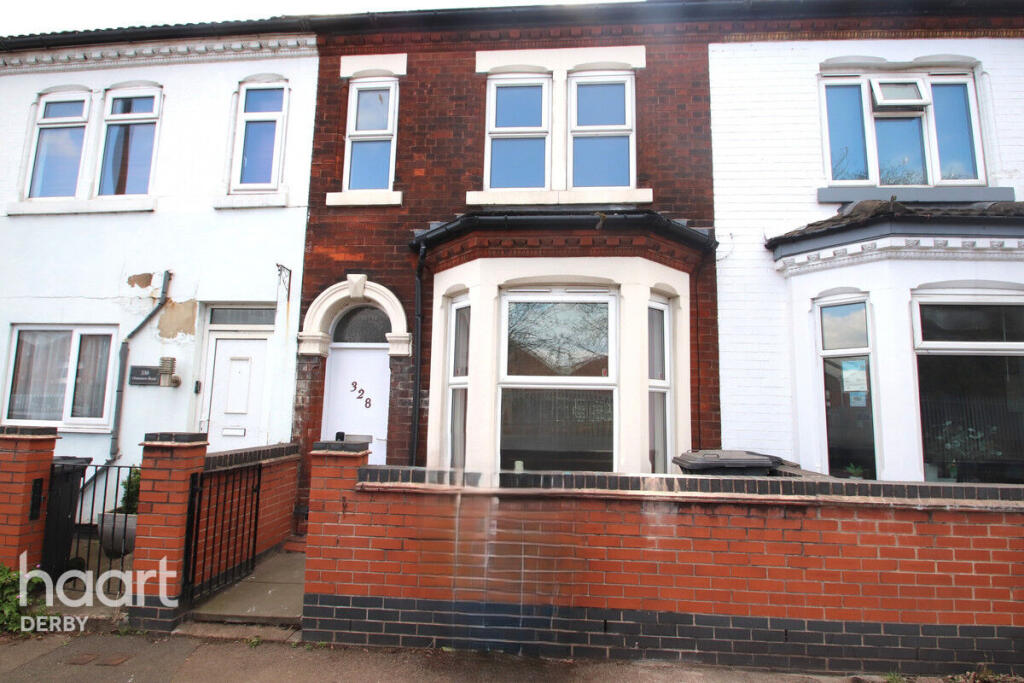
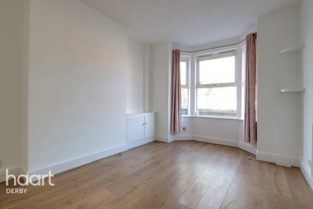
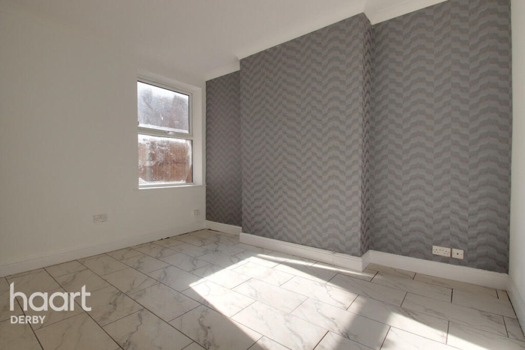
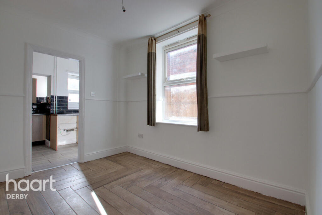
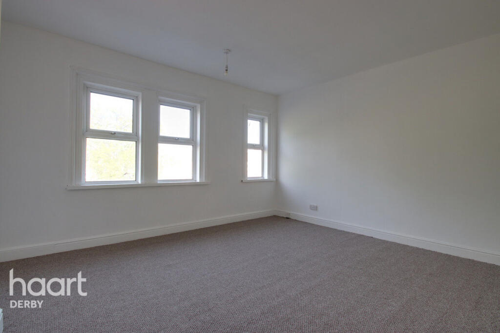
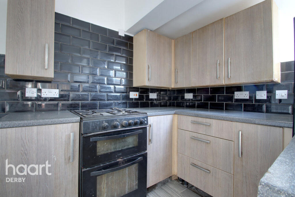
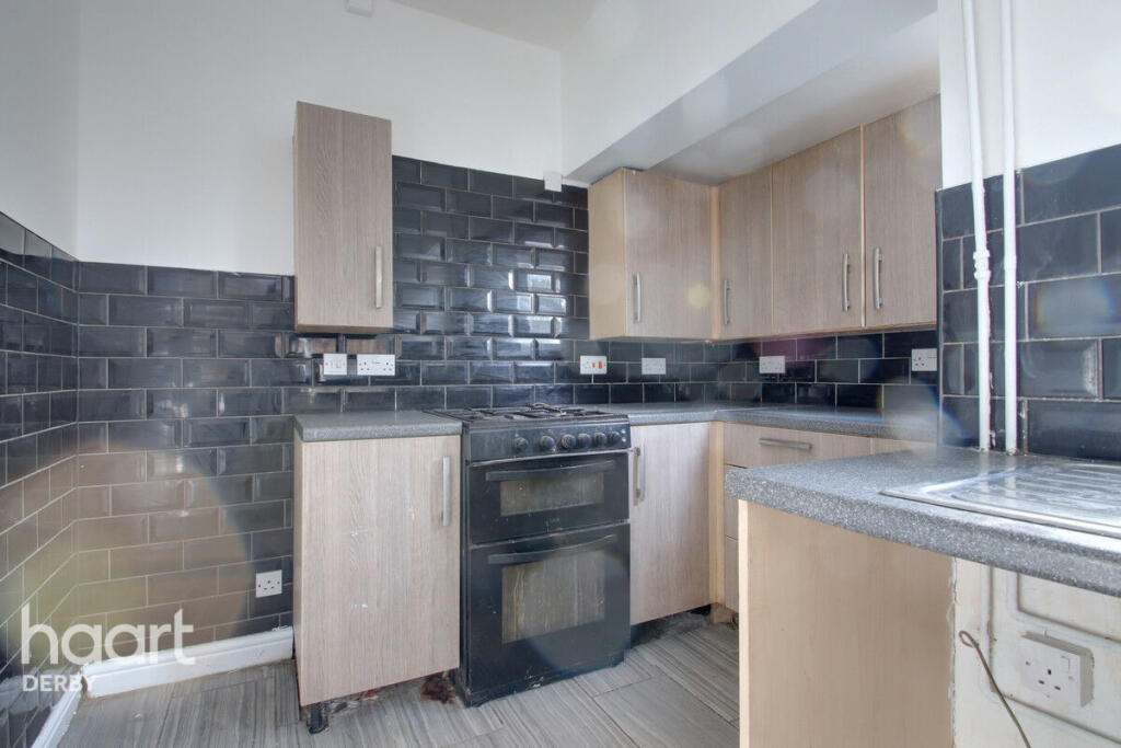
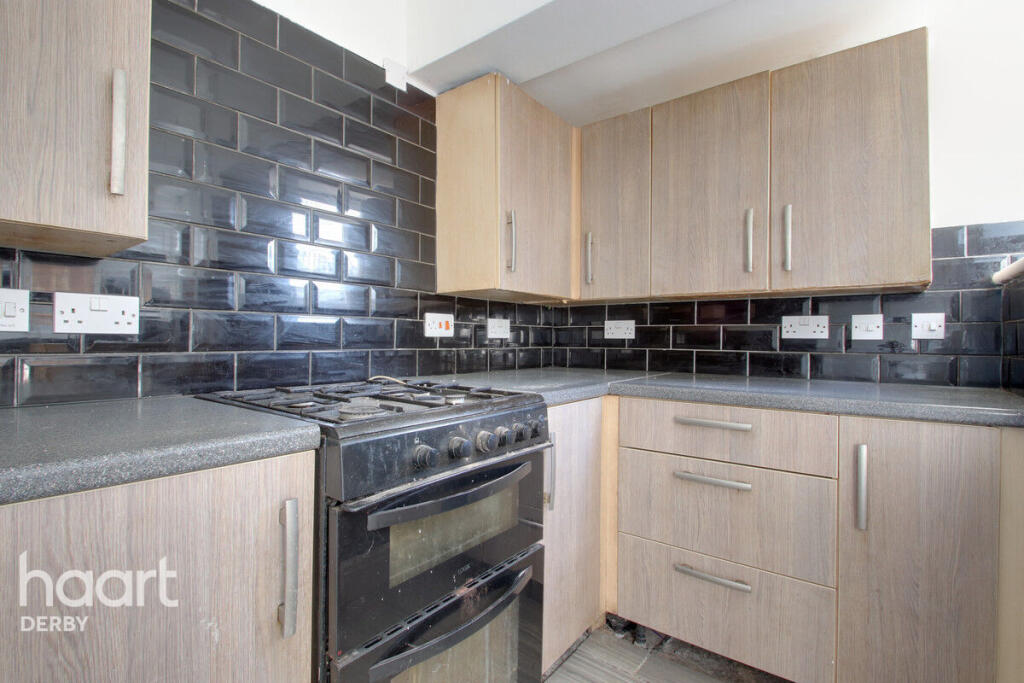
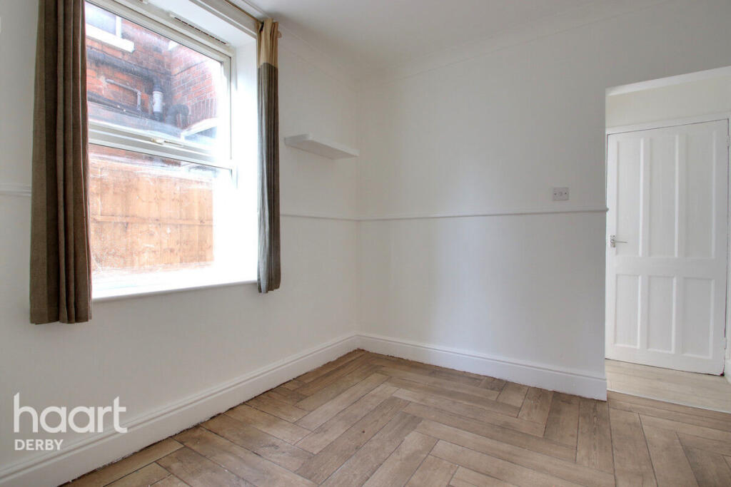
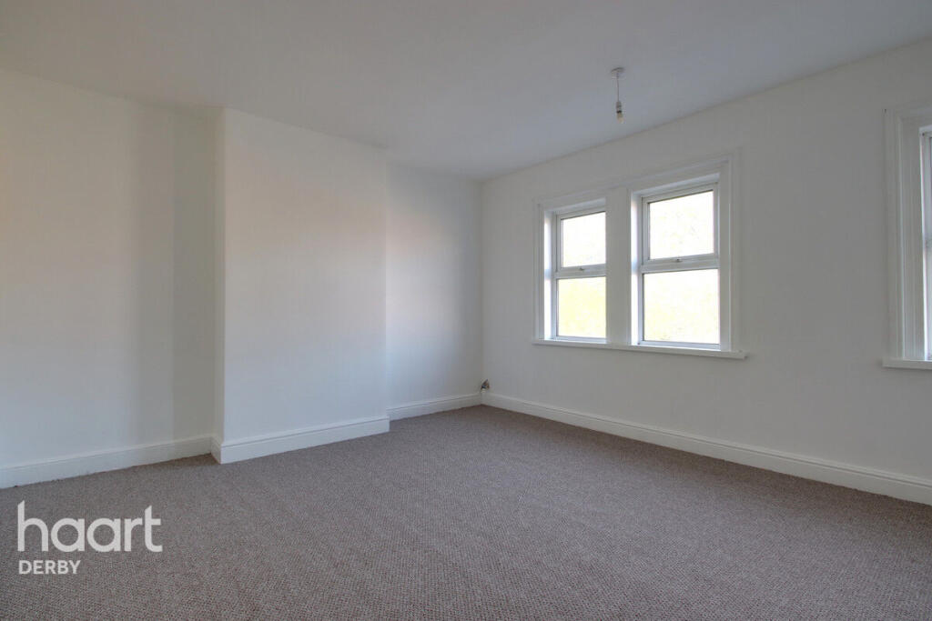
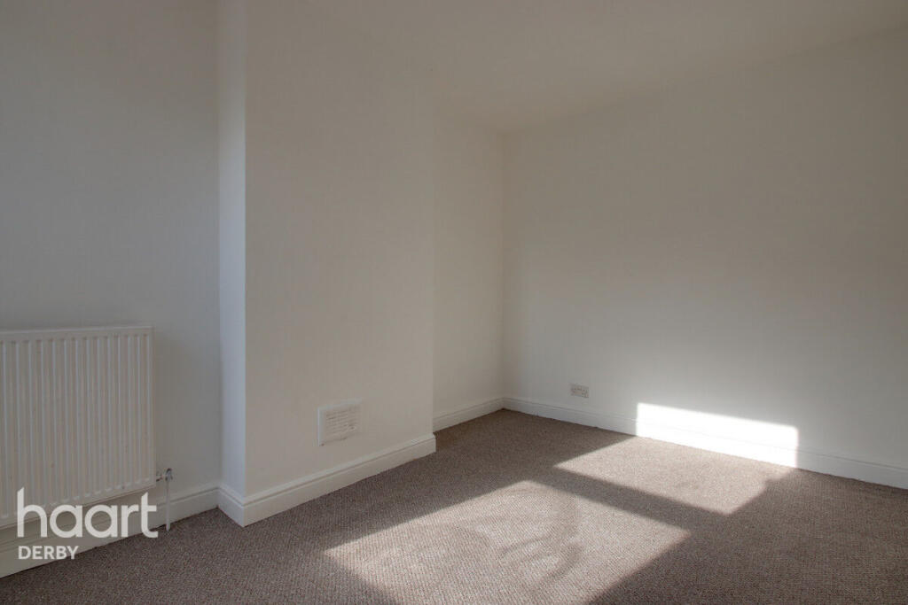
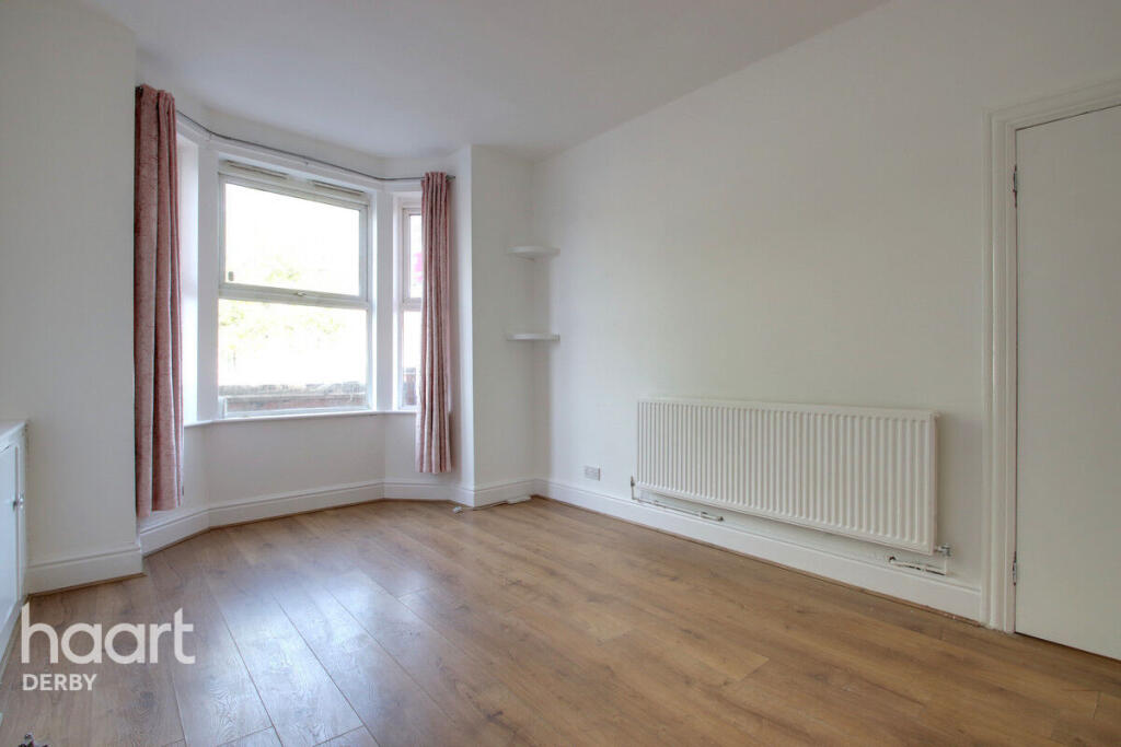
Nearby Streets
| Name | Average Price | Average Sqft | Distance |
|---|---|---|---|
| Russell Street | £ 130,000 | 0 | 0.00 KM |
| Davies Close | £ 0 | 0 | 0.00 KM |
| Finan Road | £ 0 | 0 | 0.00 KM |
| Alexandra Gardens | £ 0 | 0 | 0.00 KM |
| Arkwright Street | £ 0 | 0 | 0.00 KM |
Nearby Transport
| Name | NLC | TLC | Distance |
|---|---|---|---|
| Derby | 1823 | DBY | 1.45 KM |
| Peartree | 1687 | PEA | 1.49 KM |
| Spondon | 1699 | SPO | 5.66 KM |
| Duffield | 1691 | DFI | 9.81 KM |
Nearby Listings
| Address | Price | Type | Score | Distance |
|---|---|---|---|---|
| Osmaston Road, Derby | £ 1,175 | RENT | Unknown | 0.00 KM |
| Osmaston Road, Derby | £ 1,395 | RENT | Unknown | 0.00 KM |
| Osmaston Road, Derby | £ 1,395 | RENT | Unknown | 0.01 KM |
| Grosvenor Street, Derby, Derbyshire, DE24 | £ 400 | RENT | Unknown | 0.16 KM |
| Handel Street, Derby, DE24 | £ 500 | RENT | Unknown | 0.24 KM |
Nearby Properties
| Address | Price | Distance |
|---|---|---|
| 67 Cotton Lane | £ 60,000 | 0.16 KM |
| 47 Cotton Lane | £ 78,500 | 0.16 KM |
| 27 Cotton Lane | £ 13,000 | 0.16 KM |
| 69 Cotton Lane | £ 75,000 | 0.16 KM |
| 83 Cotton Lane | £ 90,000 | 0.16 KM |