YO
St. Johns, Worcester, WR2
By Your Move
£ 700
Your Move says ..
TBC
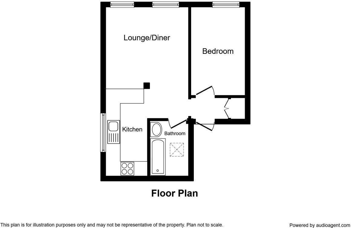
- Bedrooms
- 1
- Bathrooms
- 1
The heatmap indicates the level of crime in the area. The color of the heatmap indicates the crime severity and recency.
Metrics Year-on-Year
- Average area value
- 536,166.00 £Increased by 55.00 %
- Average area rental value
- 948.00 £/moDecreased by 9.11 %
- Est rental Yield
- 2.12 %Decreased by 41.44 %
- Crime Rate
- 8.00 %Unchanged by 0.00 %
from 345,907.00 £
from 1,043.00 £/mo
from 3.62 %
from 8.00 %
Agent Activity
Your Move created the listing.
Nearby Schools
| Name | Type | Ofsted | Distance |
|---|---|---|---|
| Our Lady Queen Of Peace Catholic Primary | Voluntary Aided School | Good | 0.07 KM |
| Perryfields Primary Pupil Referral Unit | Pupil Referral Unit | Outstanding | 0.18 KM |
| Christopher Whitehead Language College | Academy Converter | Good | 0.32 KM |
| St Clement'S Cofe Primary | Academy Converter | 0.45 KM | |
| Pitmaston Primary School | Community School | Outstanding | 0.59 KM |
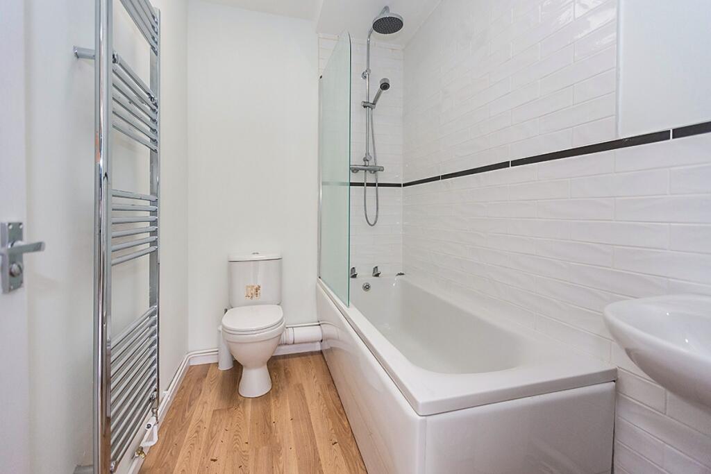
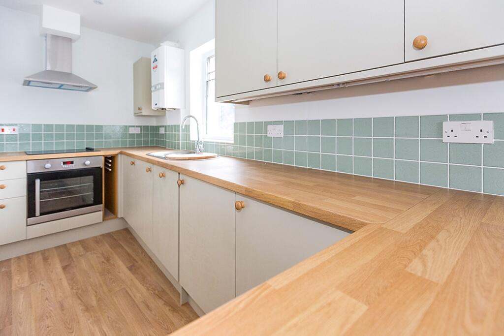
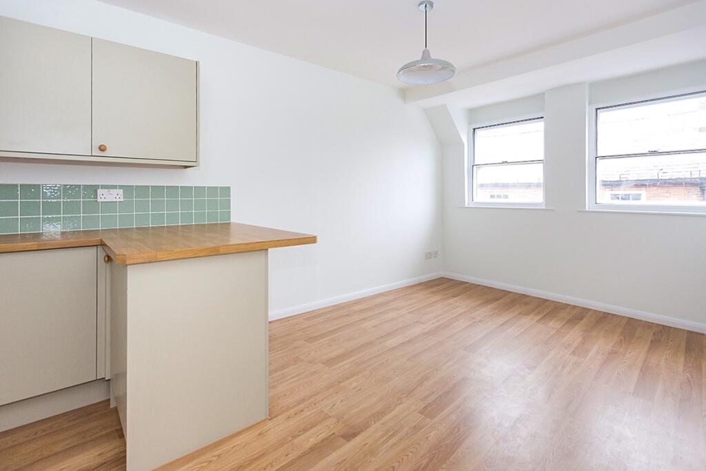
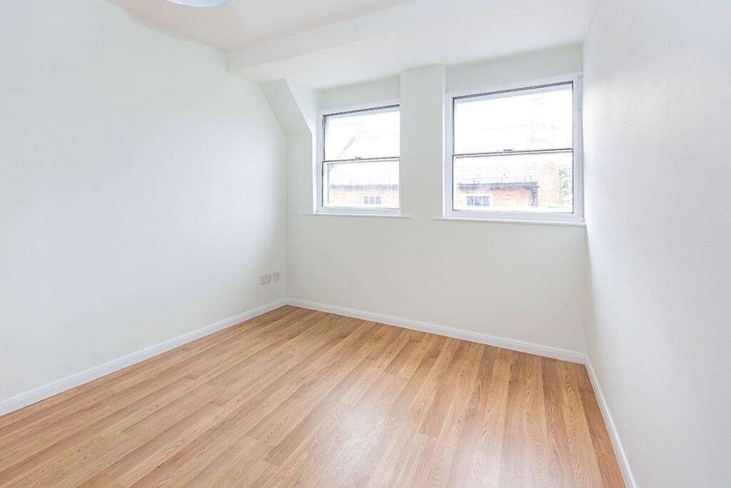
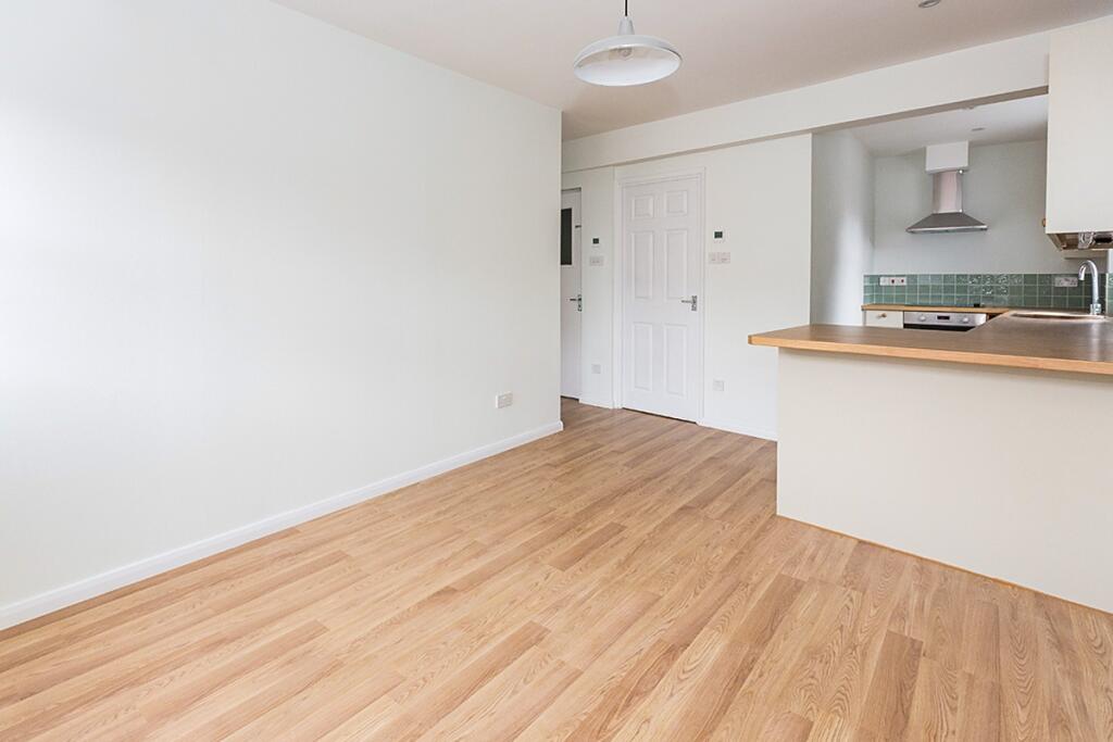
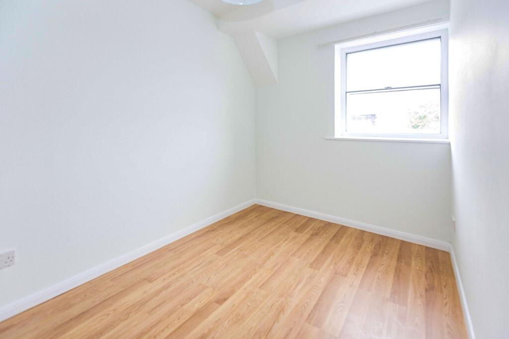
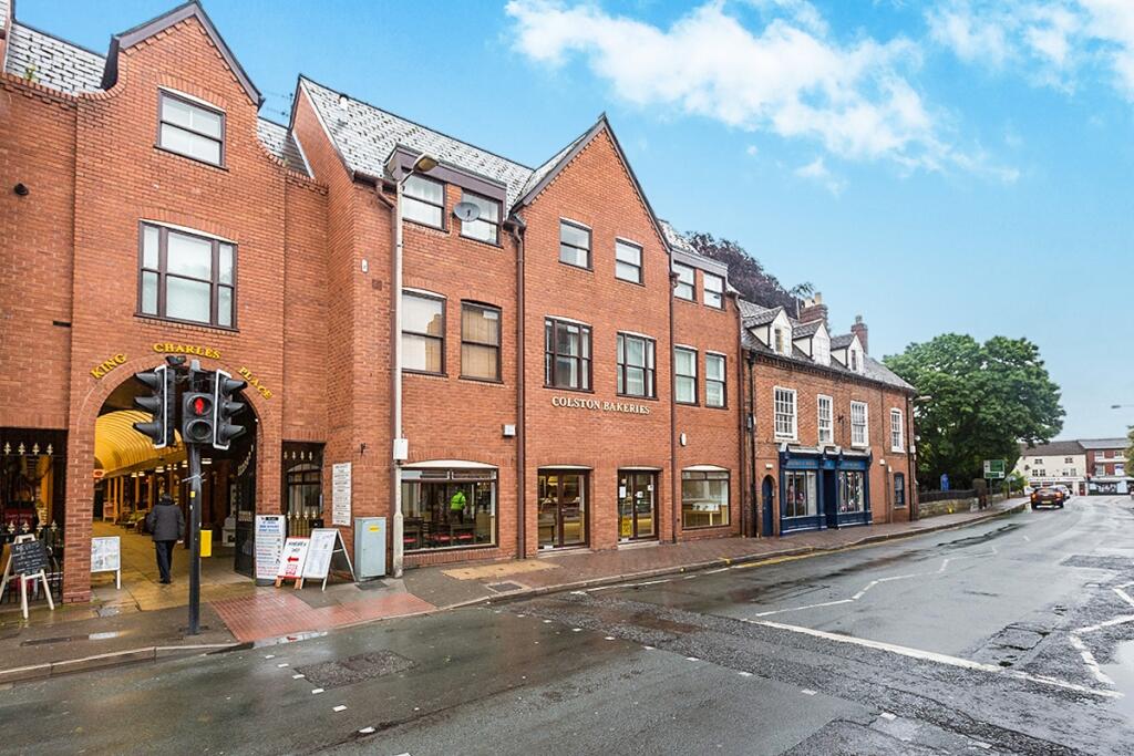
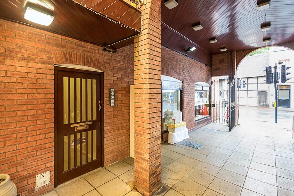
Images
Nearby Streets
| Name | Average Price | Average Sqft | Distance |
|---|---|---|---|
| Pearman Walk | £ 0 | 0 | 0.00 KM |
| Graham Road | £ 197,500 | 0 | 0.00 KM |
| Alexander Road | £ 0 | 0 | 0.00 KM |
| Barn Close | £ 0 | 0 | 0.00 KM |
| Brown Street | £ 0 | 0 | 0.00 KM |
Nearby Transport
| Name | NLC | TLC | Distance |
|---|---|---|---|
| Worcester Foregate Street | 4893 | WOF | 1.76 KM |
| Worcester Shrub Hill | 4891 | WOS | 3.00 KM |
| Worcestershire Parkway | 6580 | WOP | 9.06 KM |
Nearby Listings
| Address | Price | Type | Score | Distance |
|---|---|---|---|---|
| St. Johns, Worcester, WR2 | £ 700 | RENT | Unknown | 0.00 KM |
| 54 Bakers Mews, St Johns, Worcester St. Johns, Worcester | £ 1,100 | RENT | Unknown | 0.03 KM |
| 54 Bakers Mews, Worcester St. Johns, Worcester | £ 475 | RENT | Unknown | 0.03 KM |
| 54 Bakers Mews, Worcester St. Johns, Worcester | £ 515 | RENT | Unknown | 0.03 KM |
| 54 Bakers Mews, St Johns, Worcester St. Johns, Worcester | £ 950 | RENT | Unknown | 0.03 KM |
Nearby Properties
| Address | Price | Distance |
|---|---|---|
| 5 King Charles Place | £ 120,000 | 0.01 KM |
| 9 King Charles Place | £ 94,000 | 0.01 KM |
| 16 King Charles Place | £ 75,000 | 0.01 KM |
| 58 St Johns | £ 95,000 | 0.02 KM |
| 14 King Charles Place | £ 82,000 | 0.02 KM |