NO
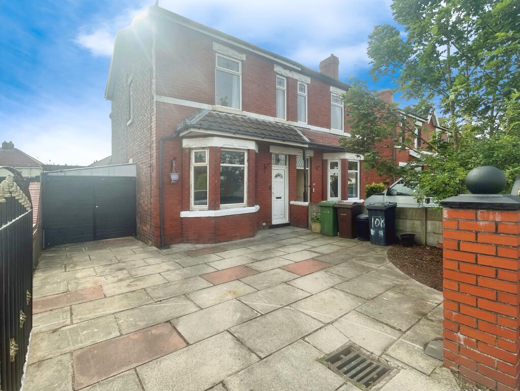
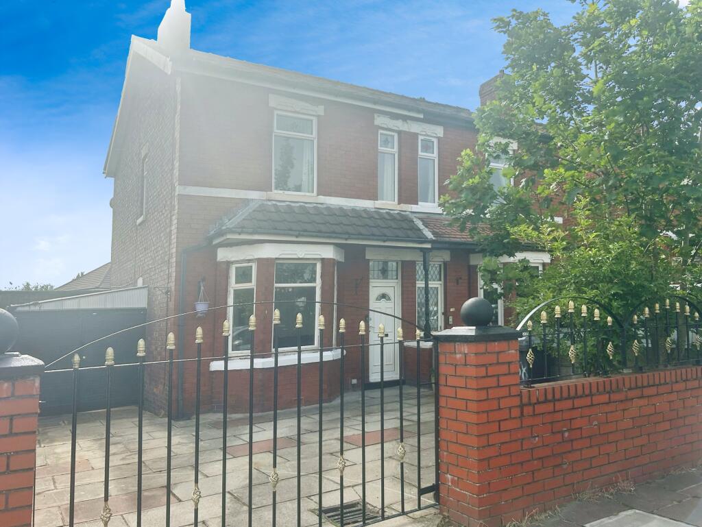
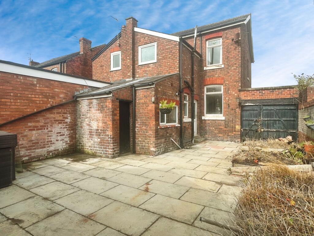
Rufford Road, Southport, PR9
By Northwood
£ 1,100
Northwood says ..
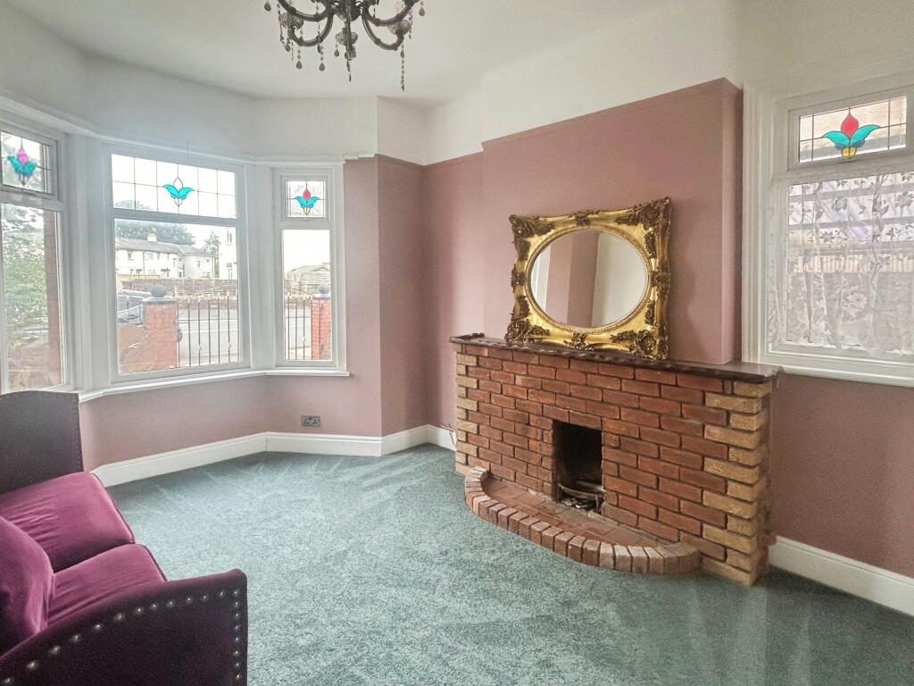
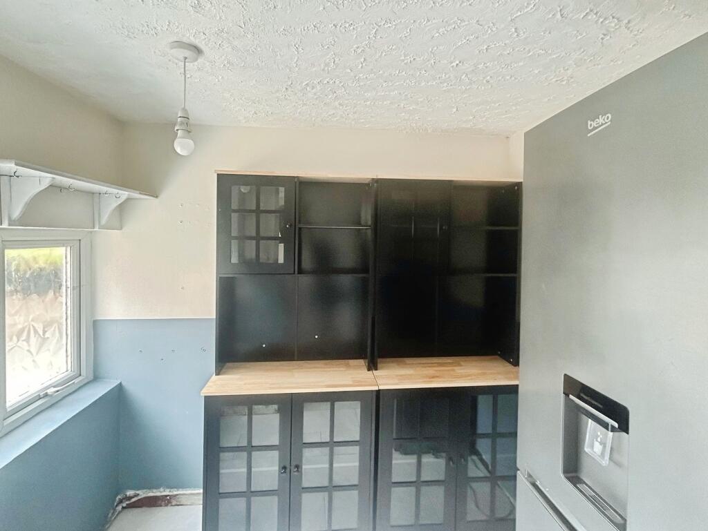
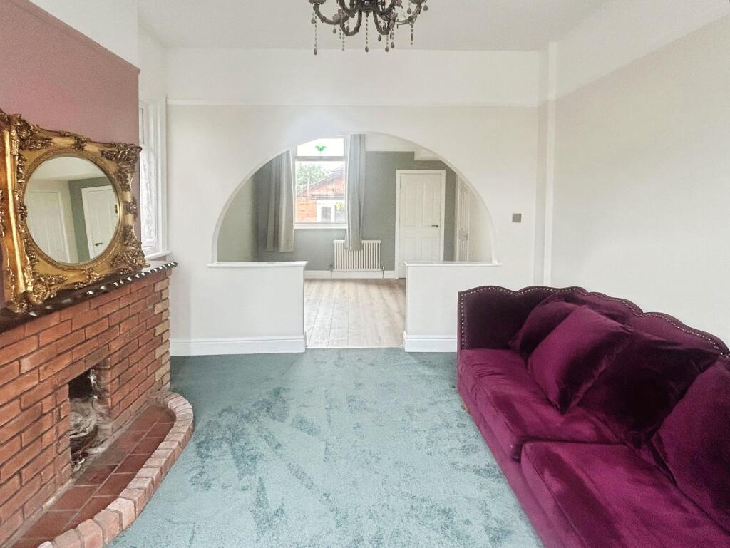
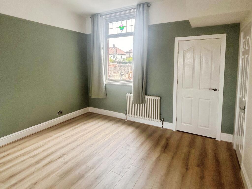
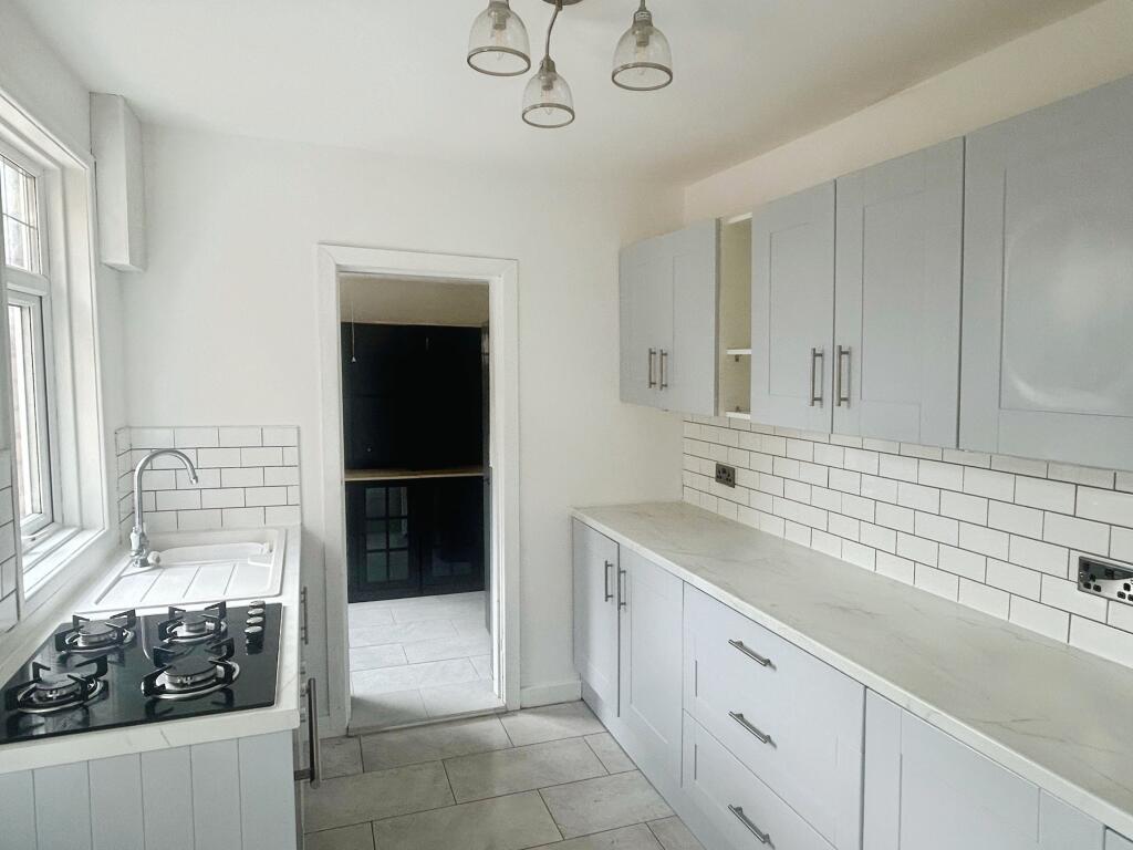
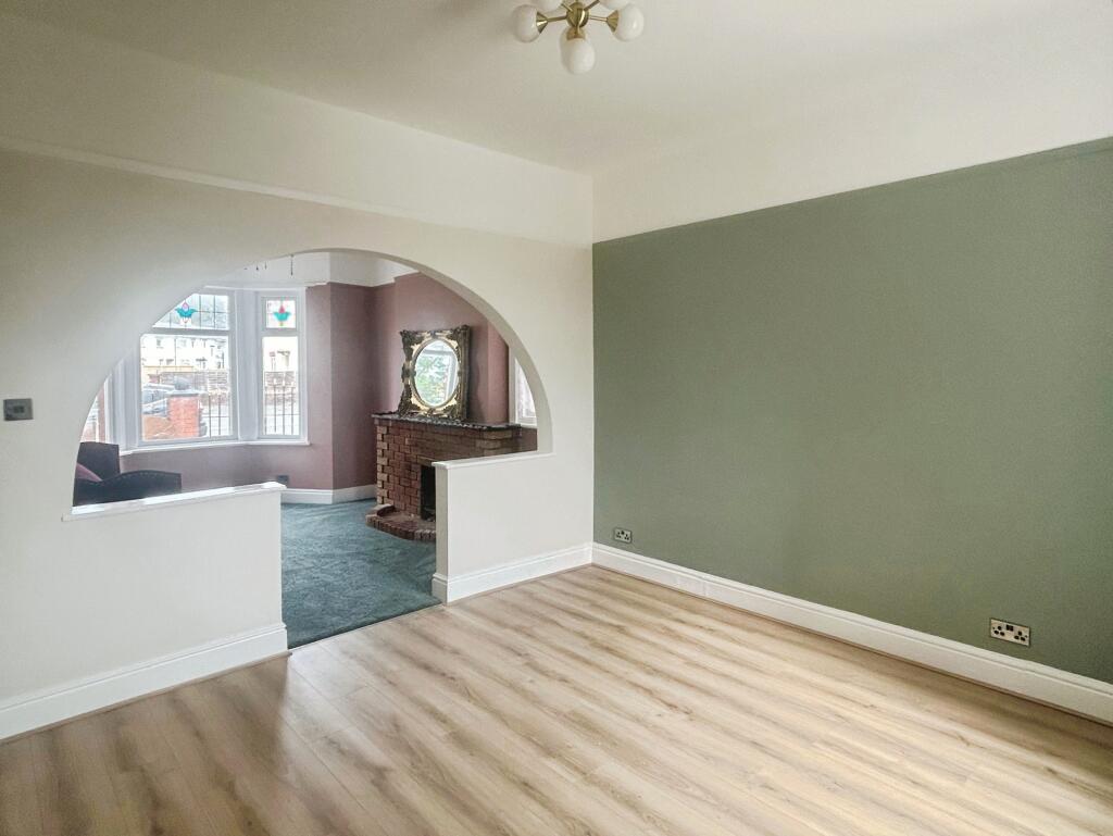
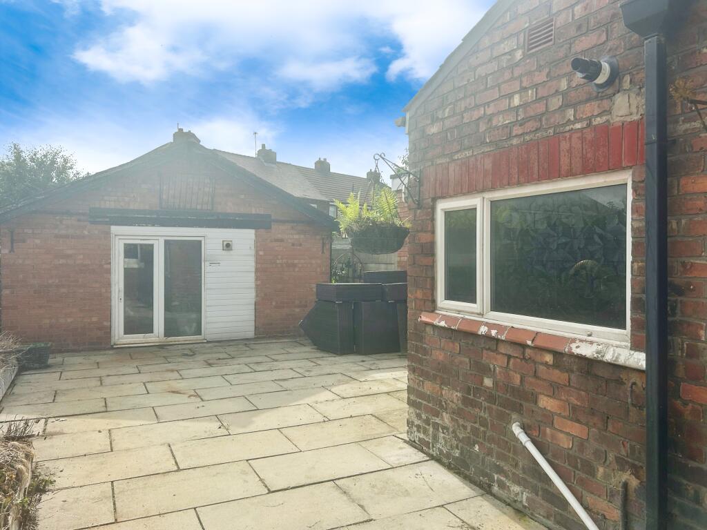
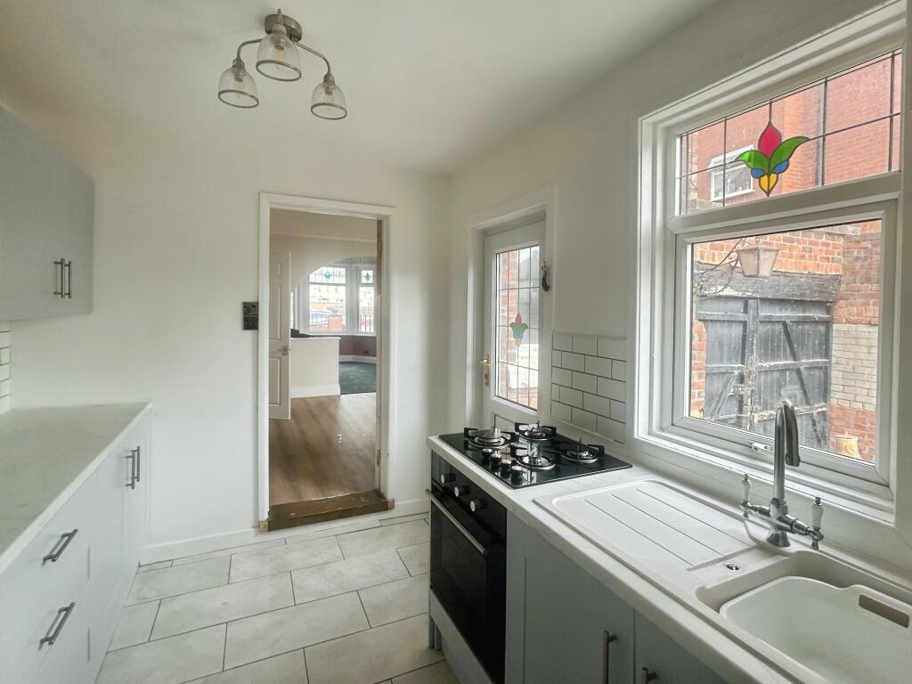
A spacious two-bed family home in the heart of Crossens village complete with contemporary kitchen, separate utility room and 2 reception rooms EPC rating E
- Bedrooms
- 3
- Bathrooms
- 0
The heatmap indicates the level of crime in the area. The color of the heatmap indicates the crime severity and recency.
Metrics Year-on-Year
- Average area value
- 265,714.00 £Decreased by 4.26 %
- Average area rental value
- 1,082.00 £/moIncreased by 12.01 %
- Est rental Yield
- 4.89 %Increased by 16.99 %
- Crime Rate
- 67.00 %Unchanged by 0.00 %
from 277,544.00 £
from 966.00 £/mo
from 4.18 %
from 67.00 %
Agent Activity
Northwood created the listing.
Nearby Schools
| Name | Type | Ofsted | Distance |
|---|---|---|---|
| St John'S Church Of England Primary School | Voluntary Controlled School | Good | 0.52 KM |
| Peterhouse School | Non-maintained Special School | Outstanding | 1.57 KM |
| Presfield High School And Specialist College | Community Special School | Good | 1.61 KM |
| Larkfield Primary School | Community School | Good | 1.63 KM |
| Crossens Nursery School | Local Authority Nursery School | Outstanding | 1.65 KM |
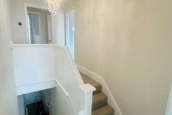
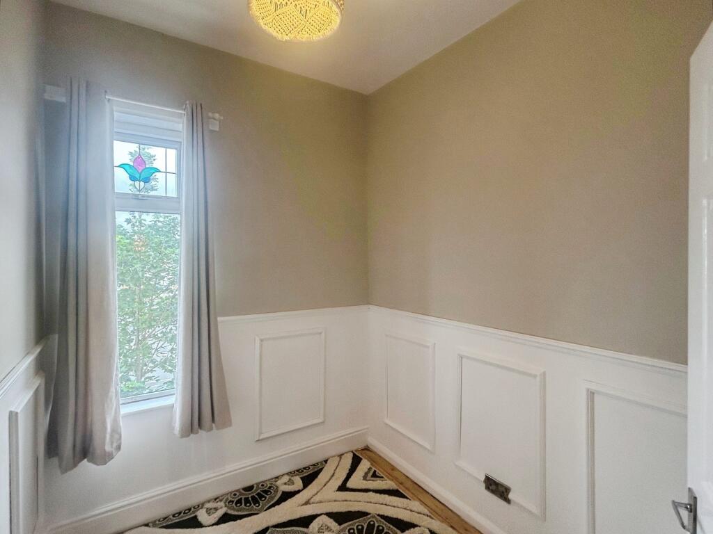
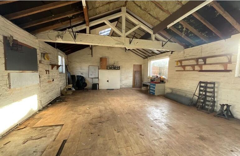
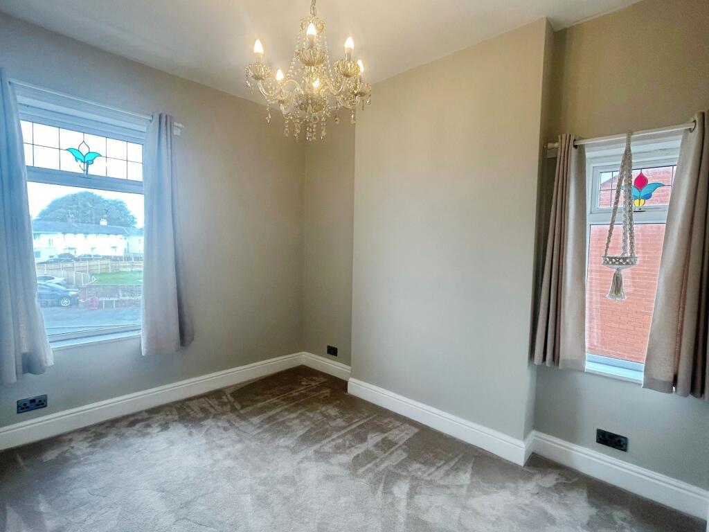
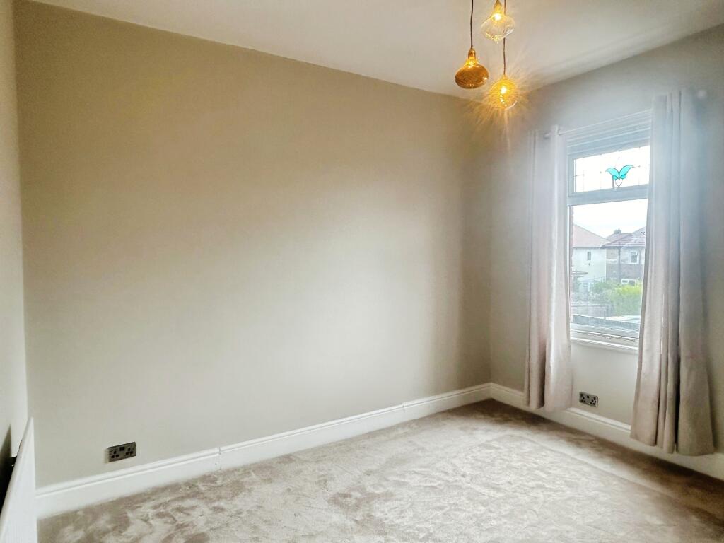
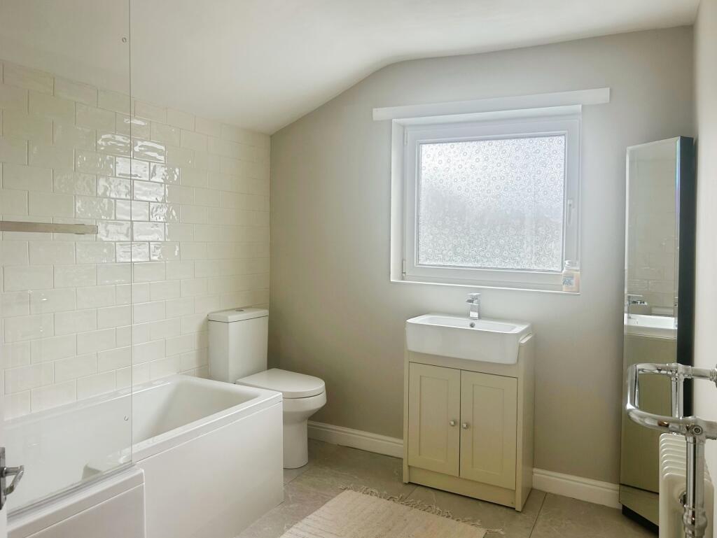
Images
Nearby Streets
| Name | Average Price | Average Sqft | Distance |
|---|---|---|---|
| Southport New Road | £ 248,120 | 0 | 0.00 KM |
Nearby Transport
| Name | NLC | TLC | Distance |
|---|---|---|---|
| Meols Cop | 2357 | MEC | 4.04 KM |
| Bescar Lane | 2351 | BES | 6.37 KM |
| Southport | 2262 | SOP | 6.53 KM |
| Lytham | 2670 | LTM | 7.86 KM |
| Birkdale | 2352 | BDL | 8.34 KM |
Nearby Listings
| Address | Price | Type | Score | Distance |
|---|---|---|---|---|
| Rufford Road, Southport, PR9 | £ 1,100 | RENT | Unknown | 0.00 KM |
| 96 Rufford Road, Crossens, Southport, PR9 8LP | £ 1,100 | RENT | Unknown | 0.00 KM |
| Brade Street, Southport | £ 975 | RENT | Unknown | 0.13 KM |
| To Let - Brade Street, Southport - Available Immediately | £ 875 | RENT | Unknown | 0.14 KM |
| Golf at - York Road, Birkdale - Sleeps 10 | £ 15,000 | RENT | Unknown | 0.42 KM |
Nearby Properties
| Address | Price | Distance |
|---|---|---|
| 120 Rufford Road | £ 170,000 | 0.00 KM |
| 102 Rufford Road | £ 125,000 | 0.00 KM |
| 116 Rufford Road | £ 147,500 | 0.00 KM |
| 85 Rufford Road | £ 115,000 | 0.06 KM |
| 18 North Road | £ 149,950 | 0.12 KM |