
PA
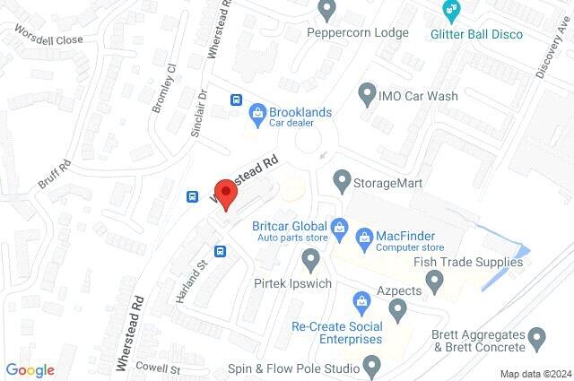
Wherstead Road, Ipswich, Suffolk, IP2
By Palmer & Partners
£ 950
Palmer & Partners says ..
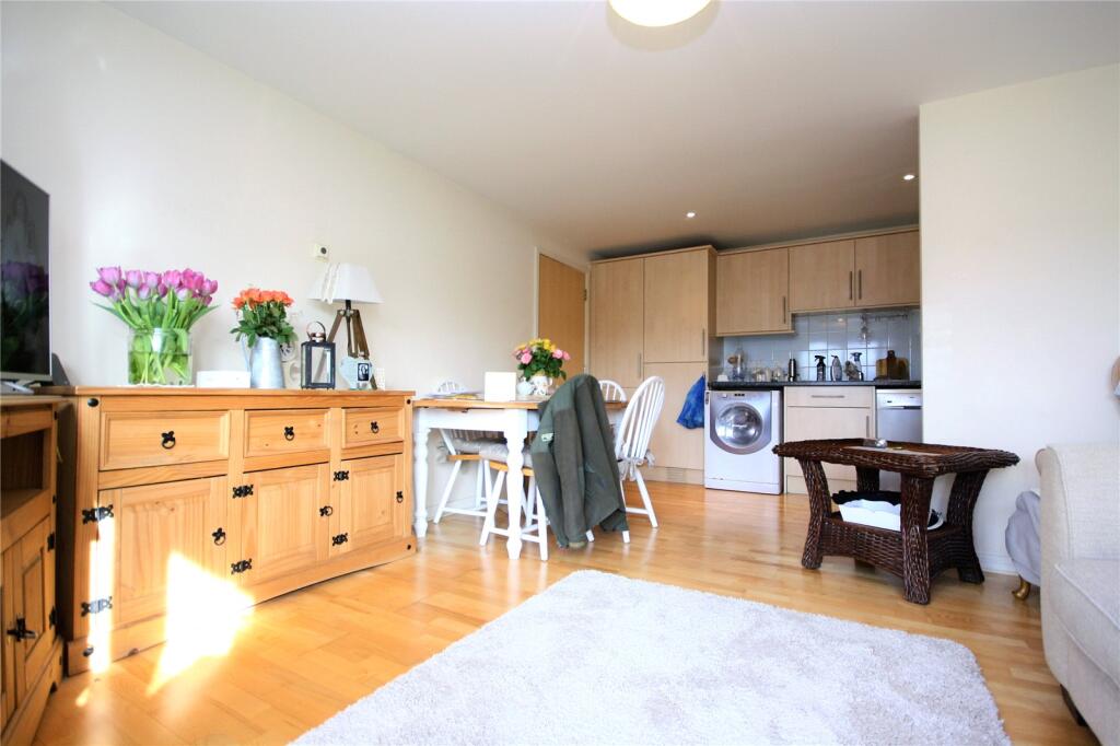
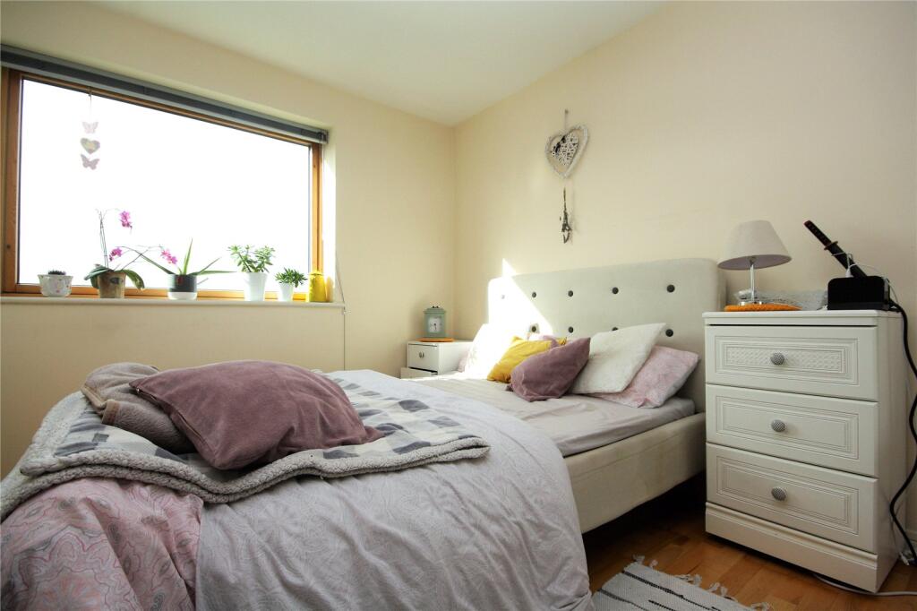
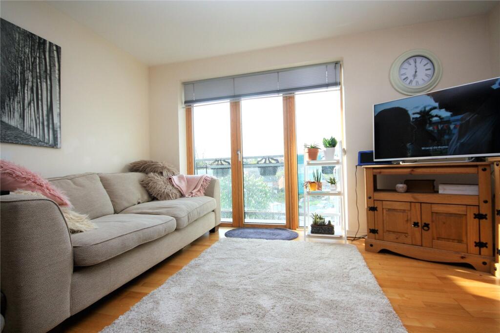
Two Bedroom Apartment With Balcony Available Now
- Bedrooms
- 2
- Bathrooms
- 1
The heatmap indicates the level of crime in the area. The color of the heatmap indicates the crime severity and recency.
Metrics Year-on-Year
- Average area value
- 320,968.00 £Decreased by 12.07 %
- Average area rental value
- 1,437.00 £/moDecreased by 3.56 %
- Est rental Yield
- 5.37 %Increased by 9.59 %
- Crime Rate
- 8.00 %Unchanged by 0.00 %
from 365,009.00 £
from 1,490.00 £/mo
from 4.90 %
from 8.00 %
Agent Activity
Palmer & Partners created the listing.
Nearby Schools
| Name | Type | Ofsted | Distance |
|---|---|---|---|
| Hillside Primary School | Academy Sponsor Led | Requires improvement | 0.56 KM |
| Stoke High School - Ormiston Academy | Academy Sponsor Led | Requires improvement | 0.65 KM |
| Hillside Children'S Centre | Children's Centre | 0.65 KM | |
| University Of Suffolk | Higher Education Institutions | Requires improvement | 1.30 KM |
| Halifax Primary School | Academy Converter | Good | 1.35 KM |
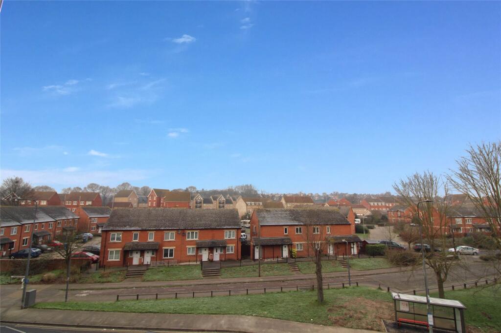
Images


Nearby Streets
| Name | Average Price | Average Sqft | Distance |
|---|---|---|---|
| Roanoke Walk | £ 0 | 0 | 0.00 KM |
| Vernon Street | £ 0 | 0 | 0.00 KM |
| Bridge Street | £ 0 | 0 | 0.00 KM |
| Quadling Street | £ 222,000 | 0 | 0.00 KM |
| St. Peters Street | £ 0 | 0 | 0.00 KM |
Nearby Transport
| Name | NLC | TLC | Distance |
|---|---|---|---|
| Ipswich | 7217 | IPS | 1.30 KM |
| Derby Road (Ipswich) | 7212 | DBR | 3.17 KM |
| Westerfield | 7226 | WFI | 4.23 KM |
Nearby Listings
| Address | Price | Type | Score | Distance |
|---|---|---|---|---|
| Wherstead Road, Ipswich, Suffolk, IP2 | £ 950 | RENT | Unknown | 0.00 KM |
| Wherstead Road, Ipswich, Suffolk, IP2 | £ 795 | RENT | Unknown | 0.00 KM |
| Worsdell Close, Ipswich, IP2 | £ 895 | RENT | Unknown | 0.00 KM |
| Wherstead Road, Ipswich | £ 800 | RENT | Unknown | 0.01 KM |
| Wherstead Road, Ipswich | £ 850 | RENT | Unknown | 0.01 KM |
Nearby Properties
| Address | Price | Distance |
|---|---|---|
| 3 Harland Street | £ 225,000 | 0.08 KM |
| 4 Harland Street | £ 129,700 | 0.08 KM |
| 9 Harland Street | £ 210,000 | 0.08 KM |
| 13 Harland Street | £ 218,500 | 0.08 KM |
| 1 Harland Street | £ 250,000 | 0.08 KM |