
MA
Drewstead Road, Streatham Hill
By Marsh & Parsons
£ 2,100
Marsh & Parsons says ..
A light a spacious two double bedroom Property moments from Streatham Hill station.
- Bedrooms
- 2
- Bathrooms
- 1
The heatmap indicates the level of crime in the area. The color of the heatmap indicates the crime severity and recency.
Metrics Year-on-Year
- Average area value
- 487,285.00 £Decreased by 7.65 %
- Average area rental value
- 1,920.00 £/moIncreased by 13.27 %
- Est rental Yield
- 4.73 %Increased by 22.86 %
- Crime Rate
- 10.00 %Unchanged by 0.00 %
from 527,656.00 £
from 1,695.00 £/mo
from 3.85 %
from 10.00 %
Agent Activity
Marsh & Parsons created the listing.
Nearby Schools
| Name | Type | Ofsted | Distance |
|---|---|---|---|
| The Livity School | Community Special School | Good | 0.64 KM |
| St Bede'S Catholic Infant School | Voluntary Aided School | Good | 1.03 KM |
| Telferscot Primary School | Community School | Outstanding | 1.04 KM |
| Streatham & Clapham High School | Other Independent School | 1.06 KM | |
| The White House Preparatory School & Woodentops Kindergarten | Other Independent School | 1.11 KM |
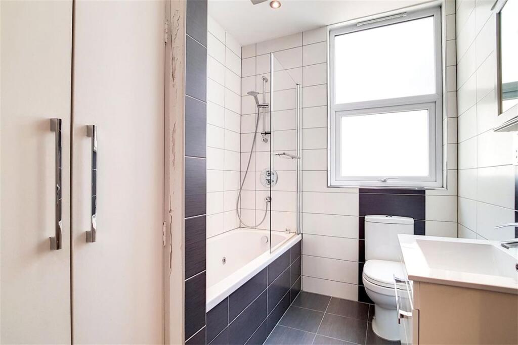
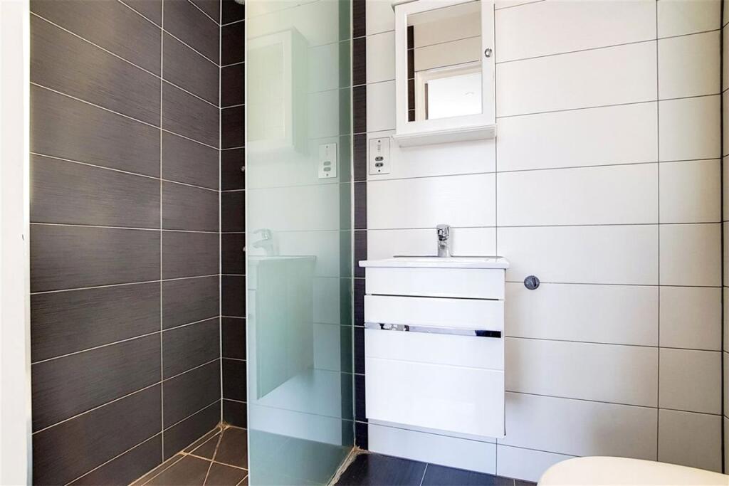
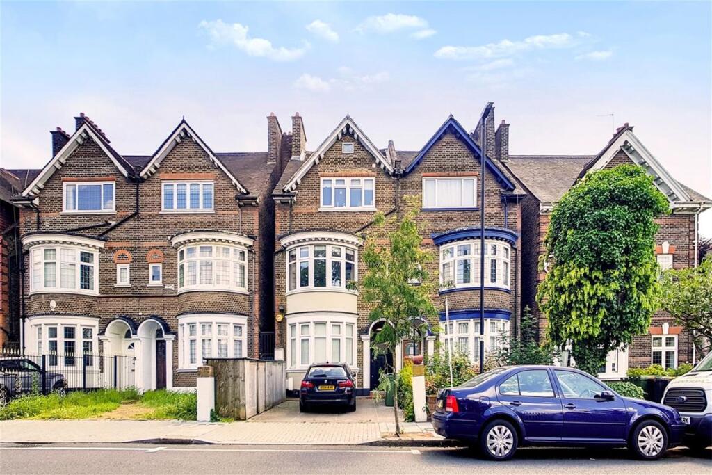
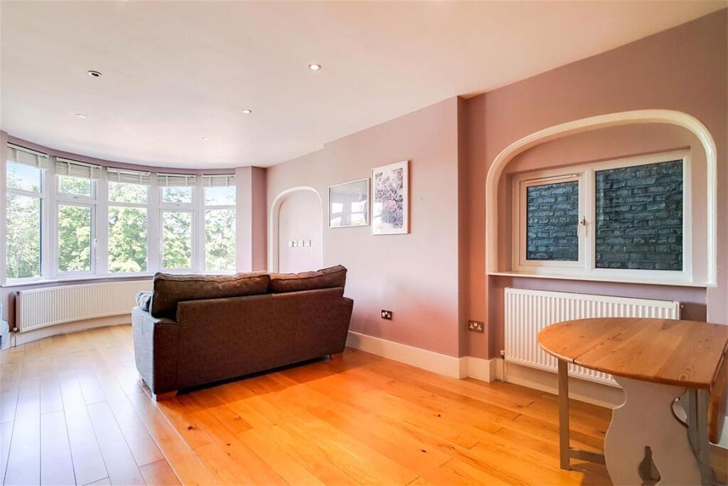
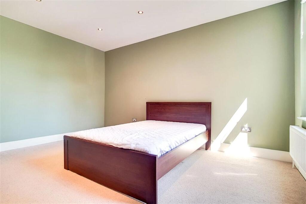
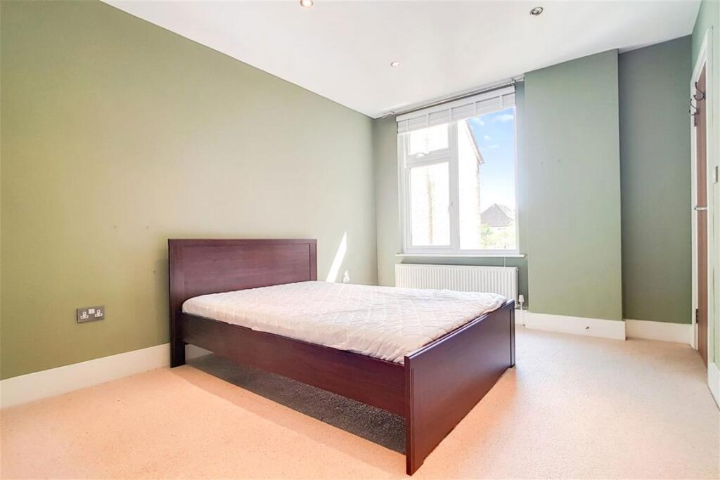
Images


Nearby Streets
| Name | Average Price | Average Sqft | Distance |
|---|---|---|---|
| Leigham Court Road | £ 0 | 0 | 0.00 KM |
| Cherry Tree Drive | £ 0 | 0 | 0.00 KM |
| New Park Road | £ 0 | 0 | 0.00 KM |
| Sunnyhill Road | £ 325,000 | 0 | 0.00 KM |
| Mortimer Close | £ 716,667 | 0 | 0.00 KM |
Nearby Transport
| Name | NLC | TLC | Distance |
|---|---|---|---|
| Streatham Hill | 5435 | SRH | 0.20 KM |
| Streatham | 5383 | STE | 1.39 KM |
| Streatham Common | 5384 | SRC | 2.29 KM |
| Tulse Hill | 5390 | TUH | 2.65 KM |
| Balham | 5399 | BAL | 2.66 KM |
Nearby Listings
| Address | Price | Type | Score | Distance |
|---|---|---|---|---|
| Drewstead Road, Streatham Hill | £ 2,100 | RENT | Unknown | 0.00 KM |
| Drewstead Road, London, SW16 | £ 1,700 | RENT | Unknown | 0.01 KM |
| Drewstead Road, Streatham Hill, London, SW16 | £ 2,950 | RENT | Unknown | 0.03 KM |
| Drewstead Road, Streatham Hill, London, SW16 | £ 1,450 | RENT | Unknown | 0.03 KM |
| Drewstead Road, Streatham Hill, London, SW16 | £ 1,300 | RENT | Unknown | 0.03 KM |
Nearby Properties
| Address | Price | Distance |
|---|---|---|
| 1b Drewstead Road | £ 371,000 | 0.01 KM |
| 23 Drewstead Road | £ 615,000 | 0.01 KM |
| 1a Drewstead Road | £ 220,000 | 0.01 KM |
| 9 Drewstead Road | £ 249,950 | 0.01 KM |
| 45 Drewstead Road | £ 163,000 | 0.01 KM |