GR
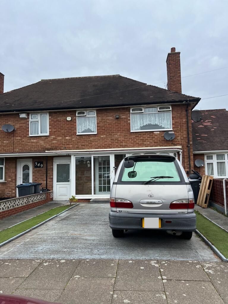
Brownfield Road, Birmingham, B34
By Green & Company
£ 1,100
Green & Company says ..
Available now!
- Bedrooms
- 3
- Bathrooms
- 1
The heatmap indicates the level of crime in the area. The color of the heatmap indicates the crime severity and recency.
Metrics Year-on-Year
- Average area value
- 210,398.00 £Decreased by 9.64 %
- Average area rental value
- 1,204.00 £/moIncreased by 43.33 %
- Est rental Yield
- 6.87 %Increased by 58.66 %
- Crime Rate
- 2.00 %Unchanged by 0.00 %
from 232,840.00 £
from 840.00 £/mo
from 4.33 %
from 2.00 %
Agent Activity
Green & Company created the listing.
Nearby Schools
| Name | Type | Ofsted | Distance |
|---|---|---|---|
| Brownmead Primary Academy | Academy Sponsor Led | Good | 0.17 KM |
| Silver Birch School | Other Independent Special School | Good | 0.84 KM |
| Timberley Academy | Academy Converter | Good | 0.93 KM |
| St Mary And St Margaret'S Church Of England Aided Primary School | Voluntary Aided School | Good | 0.94 KM |
| Hillstone Primary School | Academy Converter | Good | 1.57 KM |
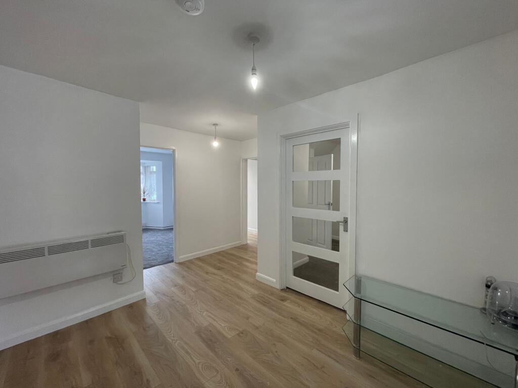
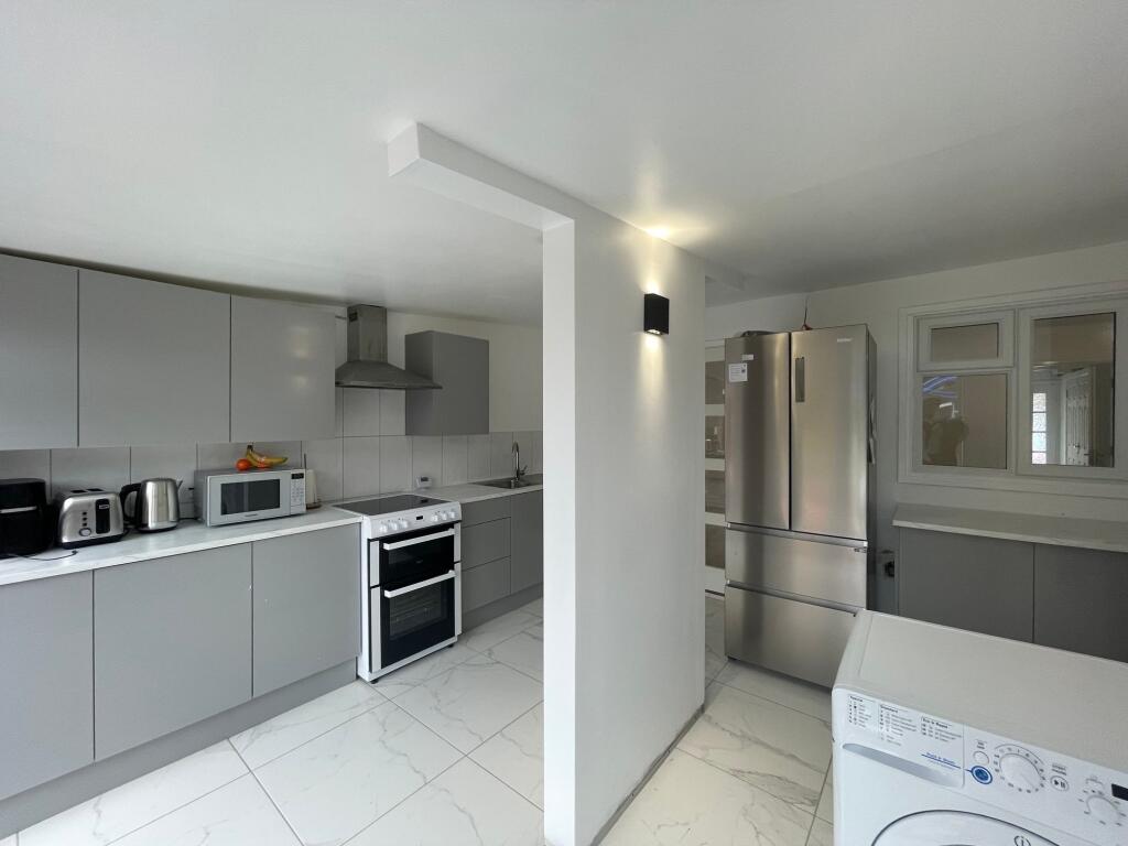
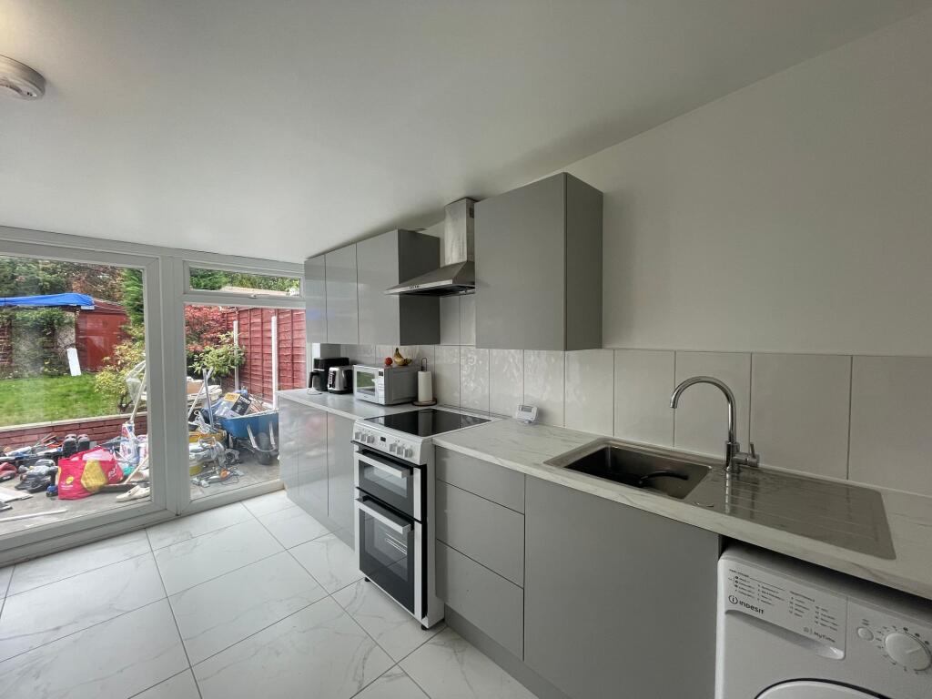
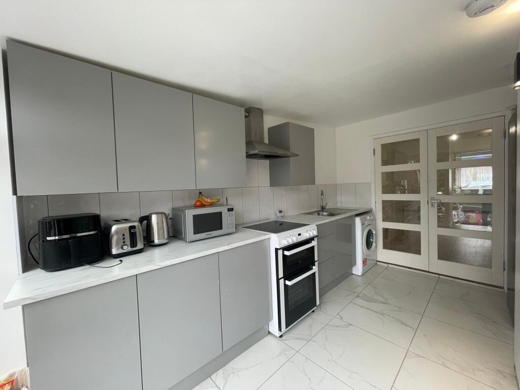
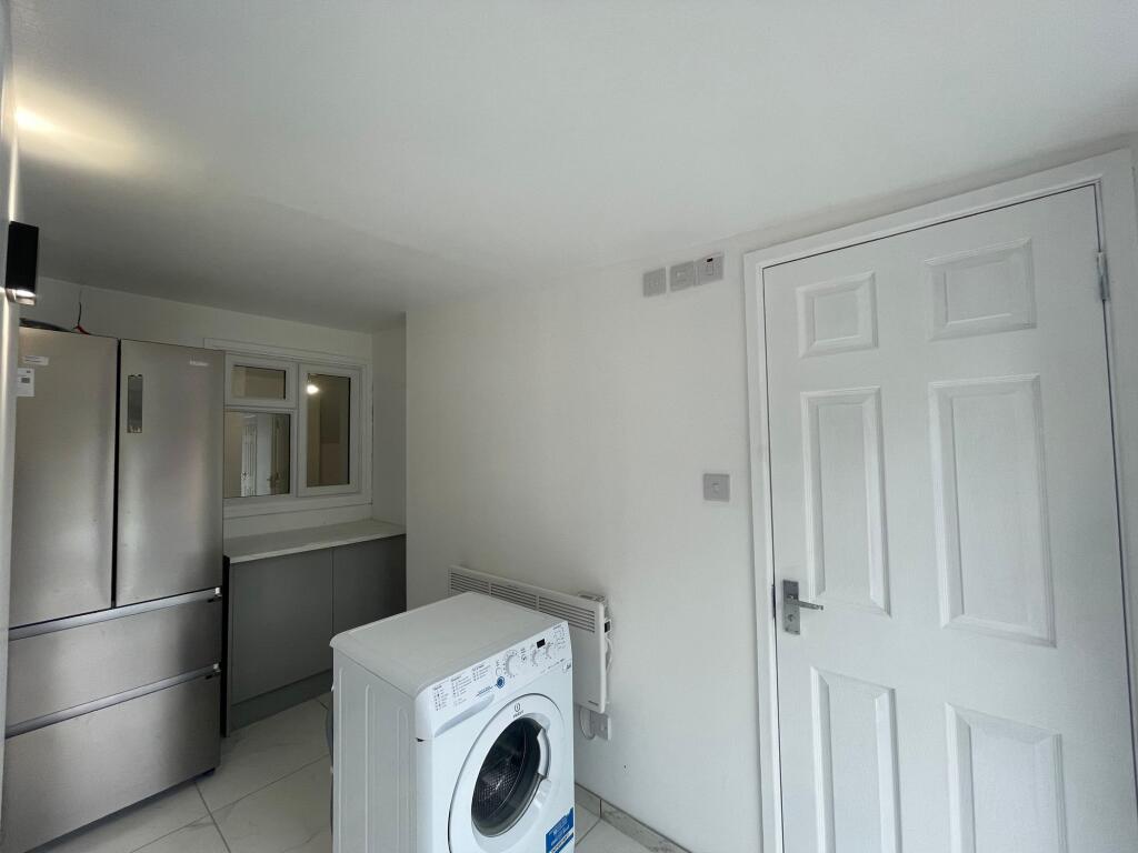
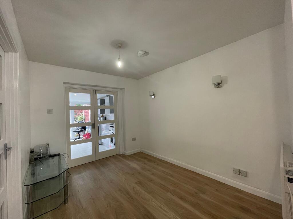
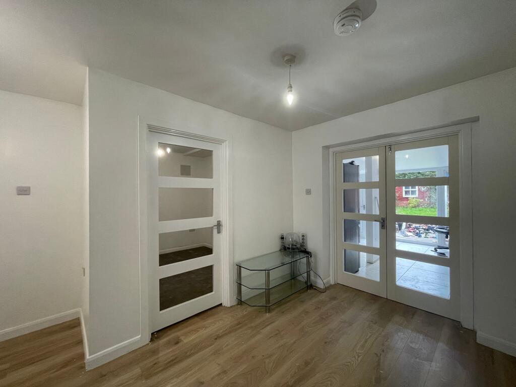
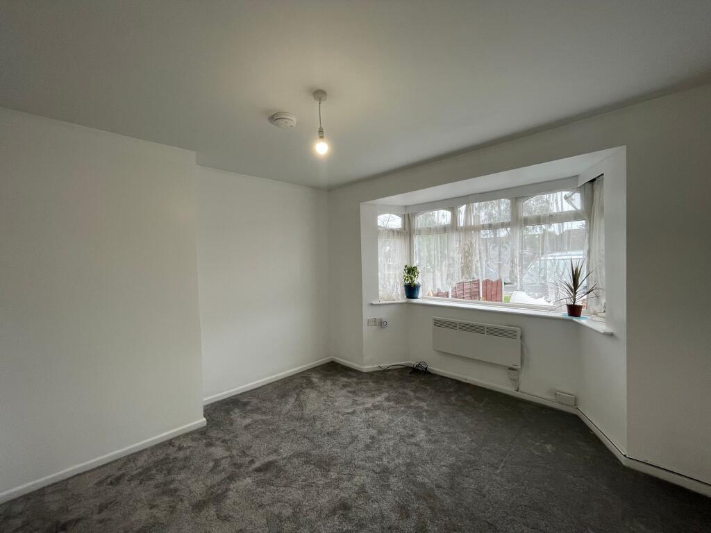
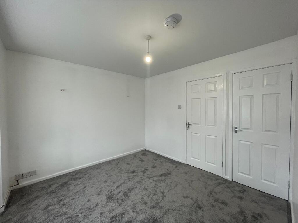
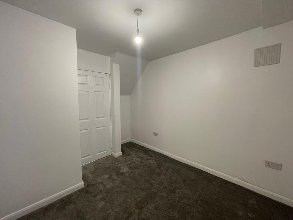
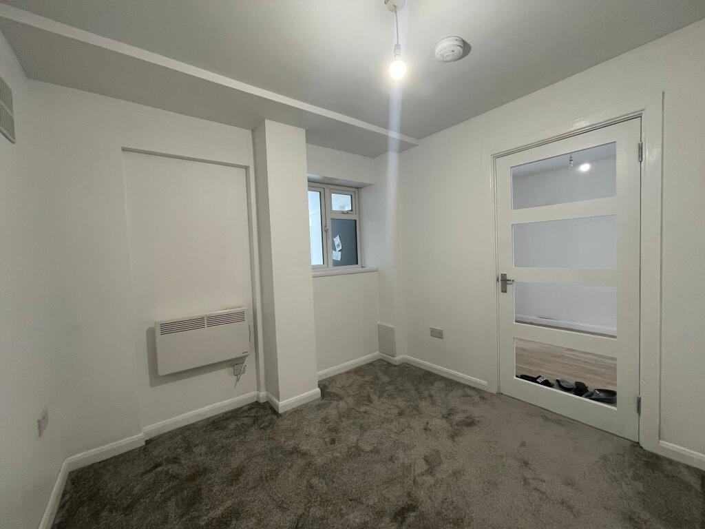
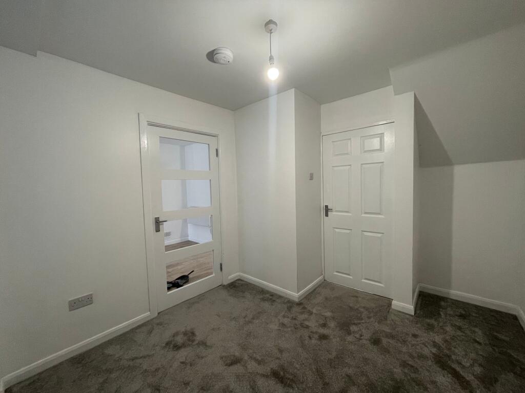
Images


Nearby Streets
| Name | Average Price | Average Sqft | Distance |
|---|---|---|---|
| School Lane | £ 203,750 | 0 | 0.00 KM |
| The Green | £ 226,666 | 0 | 0.00 KM |
| The Oaks | £ 210,000 | 0 | 0.00 KM |
| Rose Hill Close | £ 0 | 0 | 0.00 KM |
| Chestnut Drive | £ 394,000 | 0 | 0.00 KM |
Nearby Transport
| Name | NLC | TLC | Distance |
|---|---|---|---|
| Lea Hall | 1133 | LEH | 2.06 KM |
| Stechford | 1043 | SCF | 3.78 KM |
| Marston Green | 1034 | MGN | 4.33 KM |
| Water Orton | 1121 | WTO | 4.63 KM |
| Acocks Green | 4529 | ACG | 6.96 KM |
Nearby Listings
| Address | Price | Type | Score | Distance |
|---|---|---|---|---|
| Brownfield Road, Birmingham, B34 | £ 1,100 | RENT | Unknown | 0.00 KM |
| Glascote Grove, BIRMINGHAM | £ 975 | RENT | Unknown | 0.09 KM |
| Pear Tree Road, Shard End, Birmingham, B34 | £ 1,000 | RENT | Unknown | 0.16 KM |
| Brownfield Road, Shard End, B34 | £ 750 | RENT | Unknown | 0.20 KM |
| Parkhall Croft, BIRMINGHAM | £ 1,200 | RENT | Unknown | 0.38 KM |
Nearby Properties
| Address | Price | Distance |
|---|---|---|
| 270 Brownfield Road | £ 105,500 | 0.09 KM |
| 280 Brownfield Road | £ 71,000 | 0.09 KM |
| 296 Brownfield Road | £ 156,000 | 0.09 KM |
| 262 Brownfield Road | £ 145,000 | 0.09 KM |
| 292 Brownfield Road | £ 89,000 | 0.09 KM |