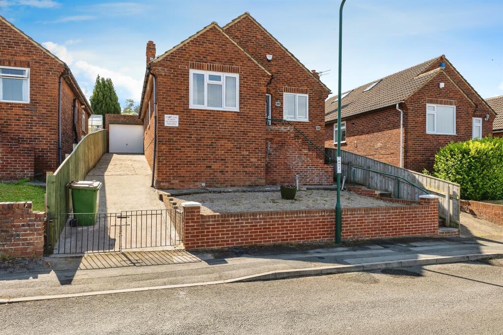
Farmbank Road, Ormesby, Middlesbrough
By Manners & Harrison
£ 185,000
Reviews
3 out of 5 stars
Manners & Harrison says ..
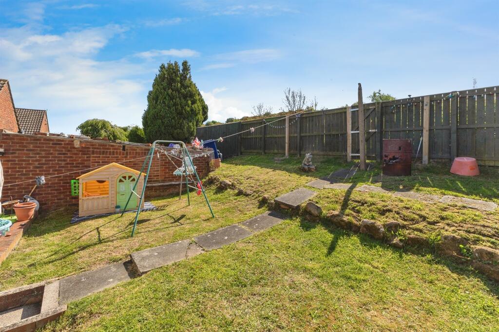
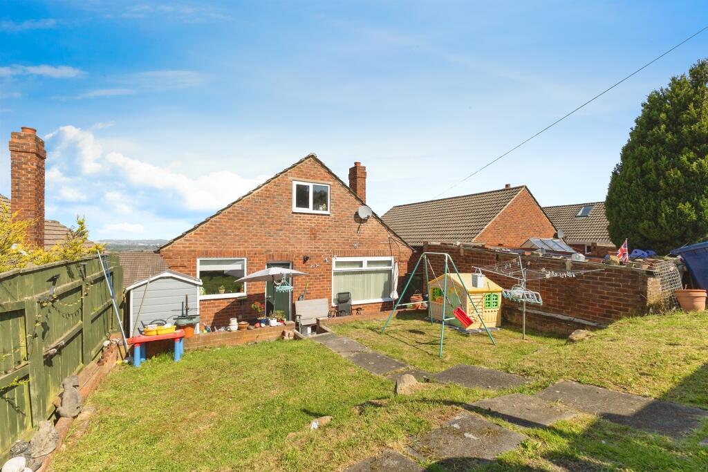
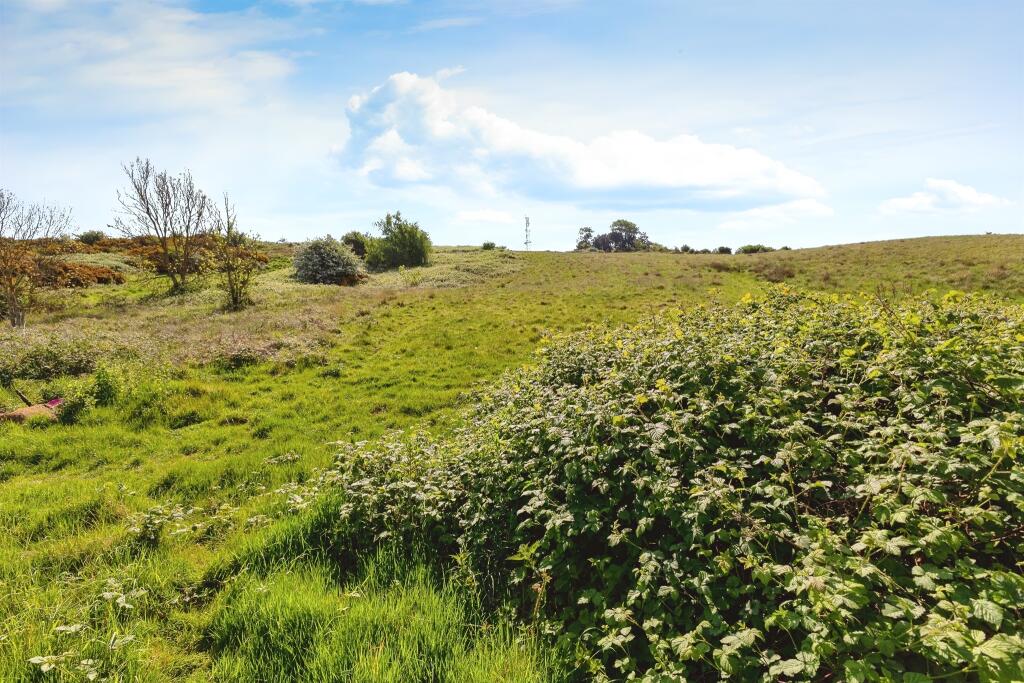
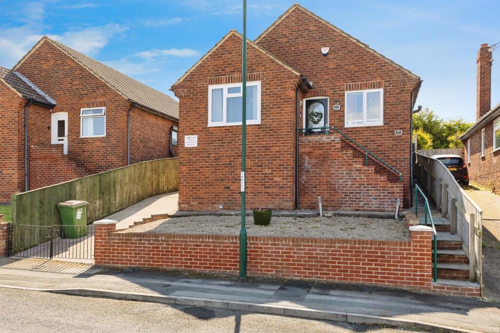
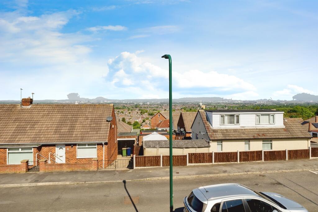
Charming 3-Bedroom Detached Bungalow with Breathtaking Elevated Views. Positioned in an enviable elevated setting, this delightful 3-bedroom detached bungalow enjoys spectacular panoramic views across Middlesbrough, offering peace, privacy, and a wonderful sense of space.
Property Oracle says ..
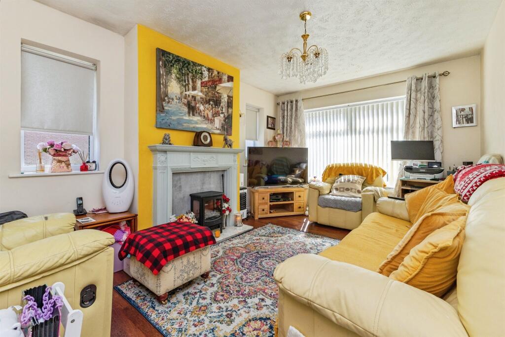
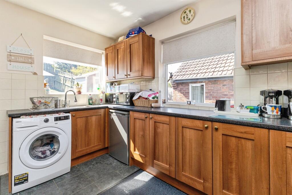
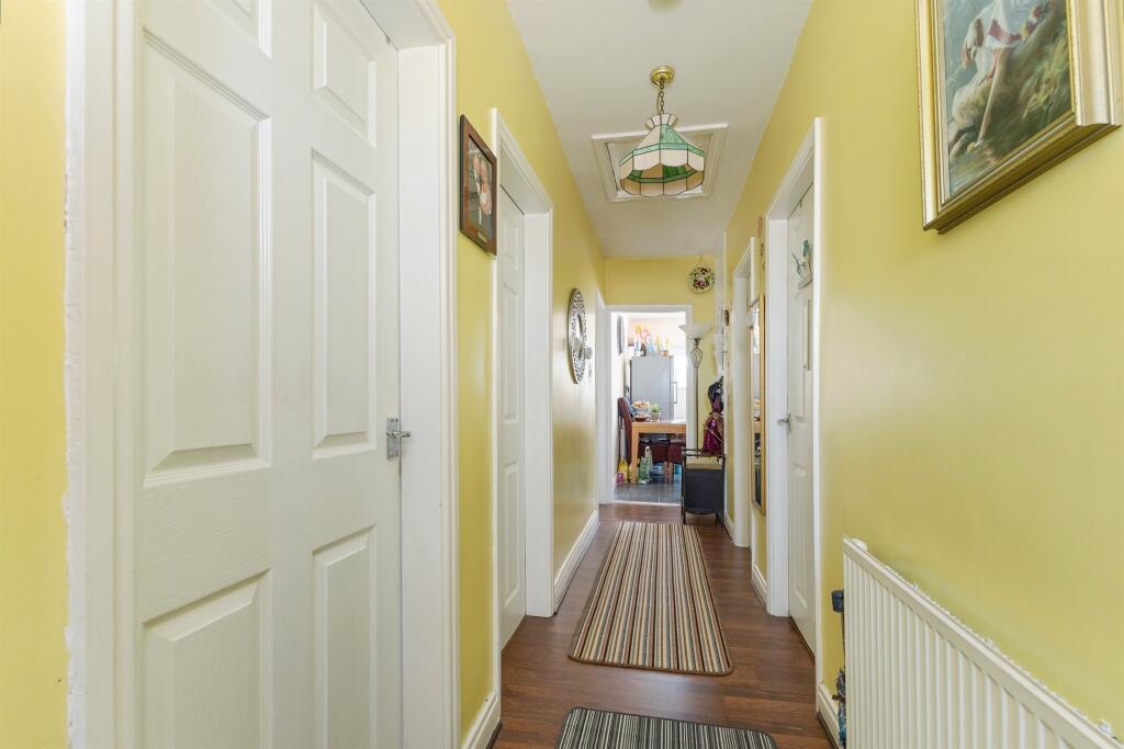
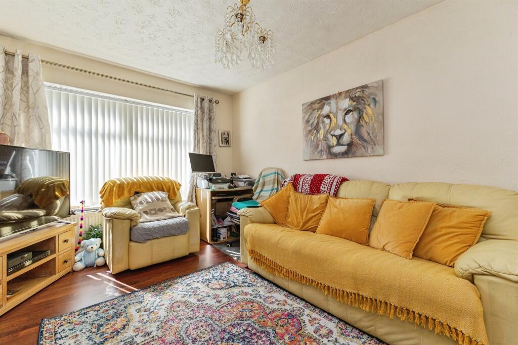
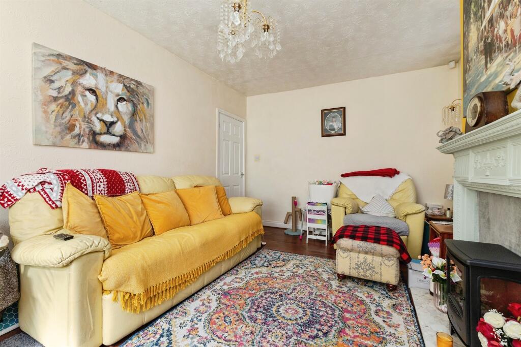
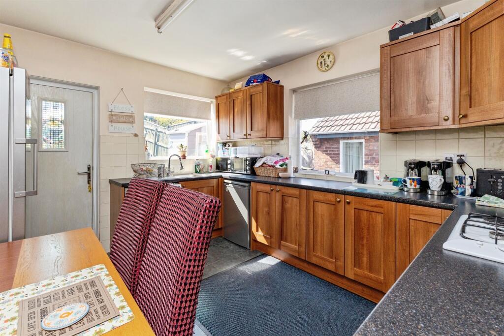
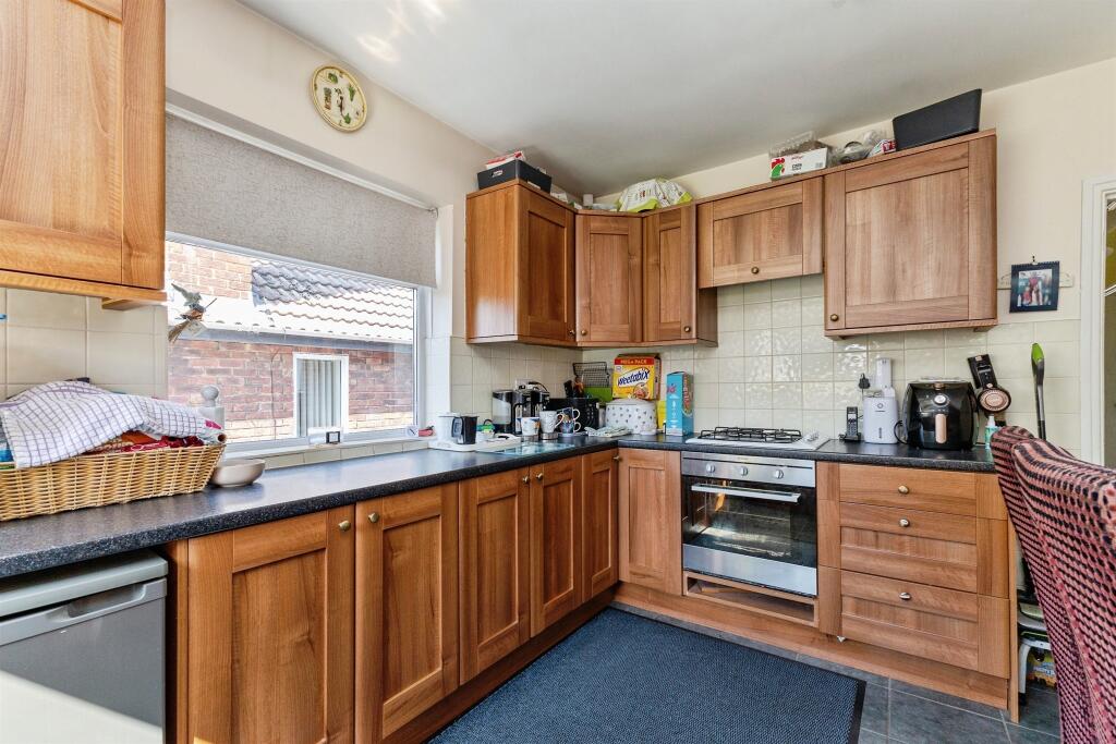
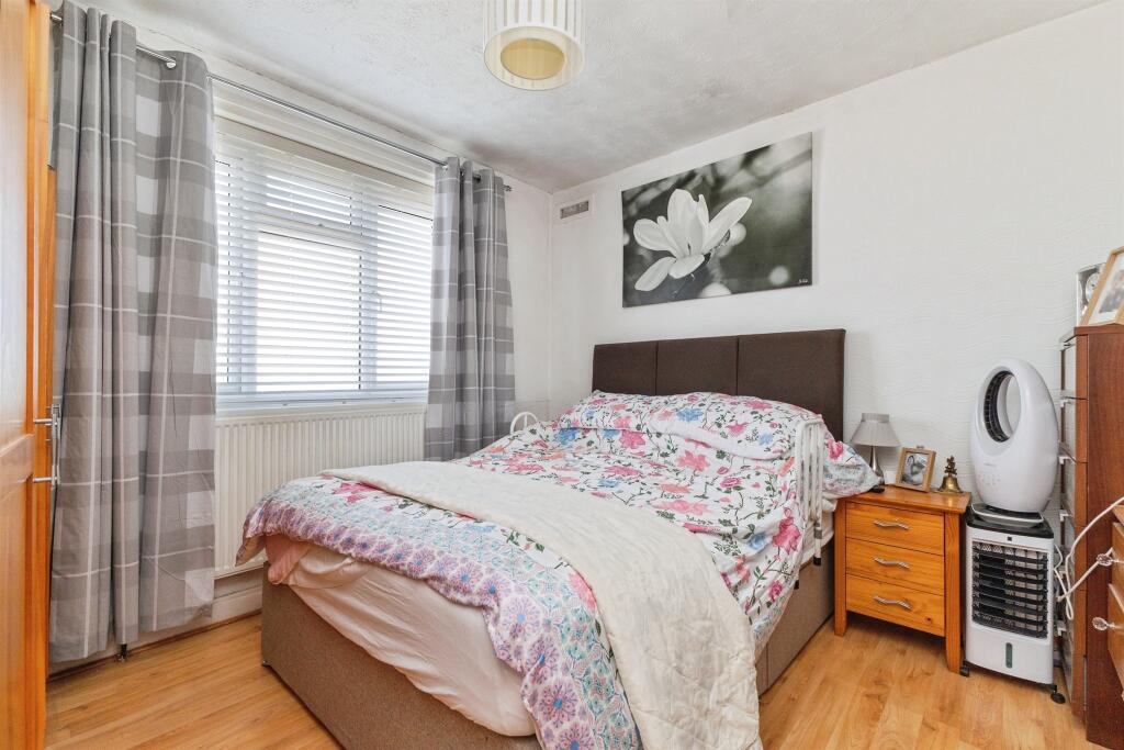
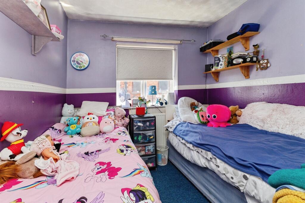
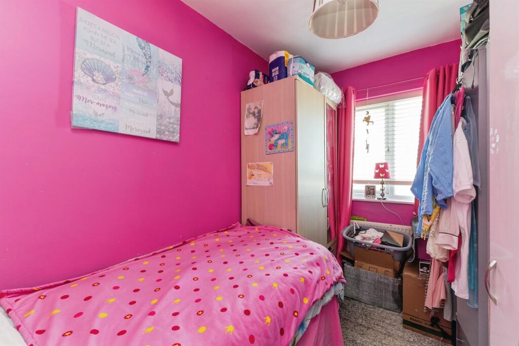
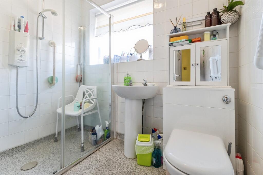
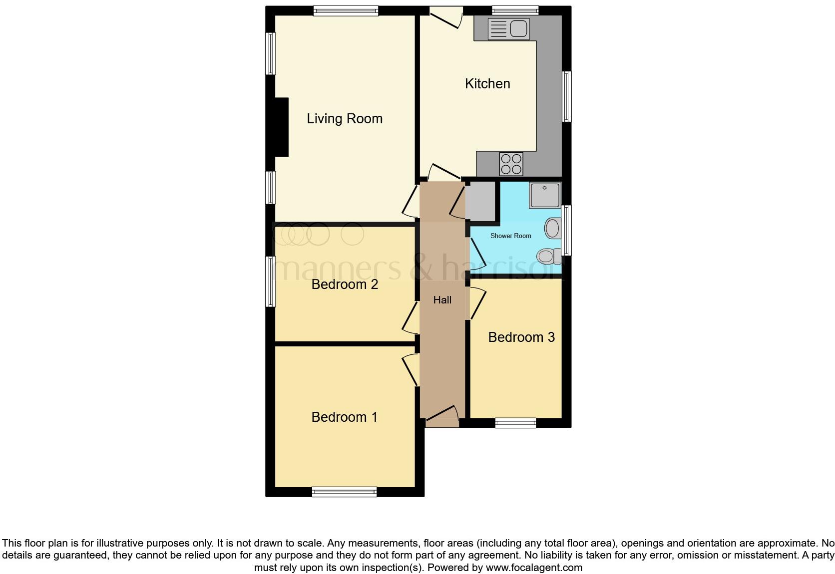
The property is a 3-bedroom detached bungalow located on Farmbank Road in Ormesby, Middlesbrough. It has 740 sqft of living space and benefits from a garden. The property appears to be in good condition, with a clean and well-maintained interior and exterior. The kitchen and bathroom appear modern and functional. The location is reasonably good, with nearby schools (Nunthorpe Primary Academy, Nunthorpe Academy, and Saint Gabriel’s Catholic Primary School) all within a 1.62 km radius. Several train stations are also within a reasonable distance, providing access to public transportation. Considering the average house price in the area is £329,750 and the average price per sqft is £270, the list price of £185,000 for this 740 sqft property seems relatively low, especially given its condition and the presence of a garden. However, nearby comparable properties show a range of prices, suggesting some variability in the market. The lack of sqft data for nearby properties makes a precise comparison difficult. Based on the available information, the property presents good value for money, given its condition, location, and the relatively low list price compared to the area average. The relatively small plot size should be noted as a potential drawback for some buyers.
Therefore, we give this property 7 / 10. *Disclaimer: This is our option and does constitute a recommendation or financial advice. Do your own research. *
- Price
- 9
- Condition
- 8
- Location
- 7
- Land
- 6
- Bedrooms
- 3
- Bathrooms
- 1
- Sqft (est)
- 740.00
The heatmap indicates the level of crime in the area. The color of the heatmap indicates the crime severity and recency.
Metrics Year-on-Year
- Average area value
- 267,273.00 £Increased by 7.48 %
- Est sale value
- 247,900.00 £Increased by 22.71 %
- Average area rental value
- 688.00 £/moDecreased by 10.30 %
- Est letting value
- 0.00 £/mo
- Est rental Yield
- 3.09 %Decreased by 16.49 %
- Crime Rate
- 6.00 %Unchanged by 0.00 %
Agent Activity
Manners & Harrison created the listing.
Nearby Schools
| Name | Type | Ofsted | Distance |
|---|---|---|---|
| Nunthorpe Primary Academy | Academy Converter | Outstanding | 1.00 KM |
| Nunthorpe Academy | Academy Converter | Good | 1.05 KM |
| Overfields Primary School | Academy Converter | 1.36 KM | |
| Ormesby Surestart Children'S Centre | Children's Centre | 1.47 KM | |
| Saint Gabriel'S Catholic Primary School | Academy Converter | Good | 1.62 KM |
Images
Nearby Streets
| Name | Average Price | Average Sqft | Distance |
|---|---|---|---|
| Forest Drive | £ 153,500 | 0 | 0.00 KM |
| Sherwood Close | £ 0 | 0 | 0.00 KM |
| Spring Garden Lane | £ 0 | 0 | 0.00 KM |
| Meadow Drive | £ 300,000 | 0 | 0.00 KM |
| Cook's Court | £ 0 | 0 | 0.00 KM |
Nearby Transport
| Name | NLC | TLC | Distance |
|---|---|---|---|
| Nunthorpe | 7946 | NNT | 1.30 KM |
| Gypsy Lane | 7930 | GYP | 1.49 KM |
| Marton | 7947 | MTO | 3.45 KM |
| James Cook University Hospital | 9507 | JCH | 4.73 KM |
| South Bank | 7953 | SBK | 5.04 KM |
Nearby Listings
| Address | Price | Type | Score | Distance |
|---|---|---|---|---|
| Farmbank Road, Ormesby, Middlesbrough | £ 185,000 | BUY | 7 / 10 | 0.00 KM |
| Brooksbank Road, Ormesby, Middlesbrough | £ 160,000 | BUY | 6 / 10 | 0.06 KM |
| Farmbank Road, Ormesby | £ 185,000 | BUY | 7 / 10 | 0.10 KM |
| Farmbank Road, Ormesby, Middlesbrough | £ 149,950 | BUY | 6 / 10 | 0.10 KM |
| Brooksbank Road, Ormesby, TS7 | £ 130,000 | BUY | 5 / 10 | 0.11 KM |
Nearby Properties
| Address | Price | Distance |
|---|---|---|
| 40 Farmbank Road | £ 110,000 | 0.00 KM |
| 15 Farmbank Road | £ 133,000 | 0.00 KM |
| 21 Farmbank Road | £ 90,000 | 0.00 KM |
| 24 Farmbank Road | £ 125,000 | 0.00 KM |
| 11a Farmbank Road | £ 195,000 | 0.00 KM |