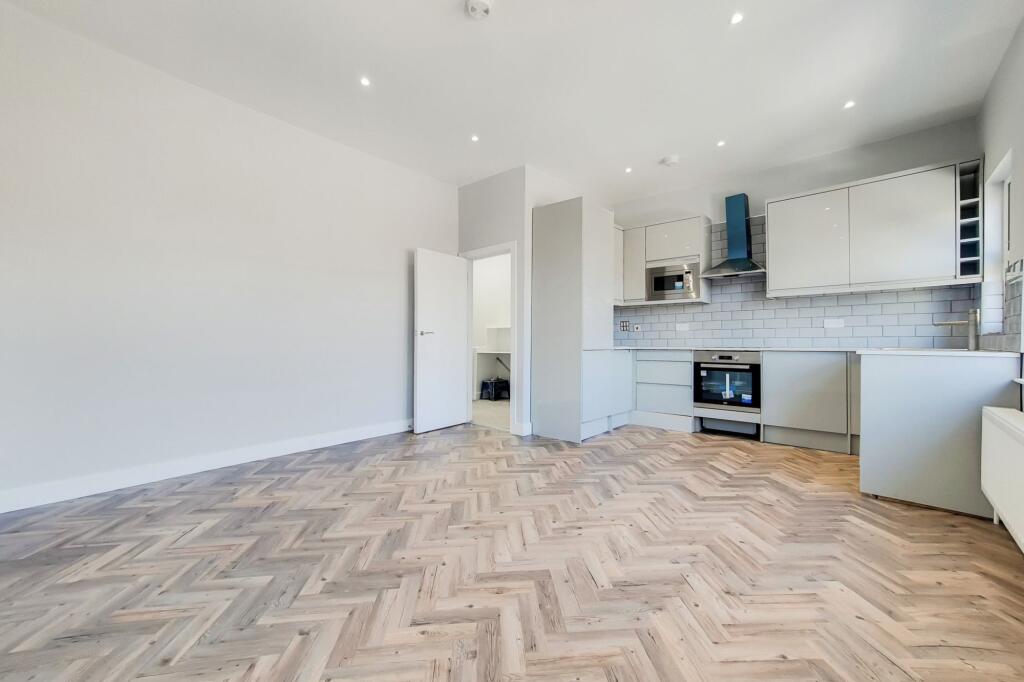

Brookbank Road, Lewisham, SE13
By Kallars
£ 2,200
Kallars says ..
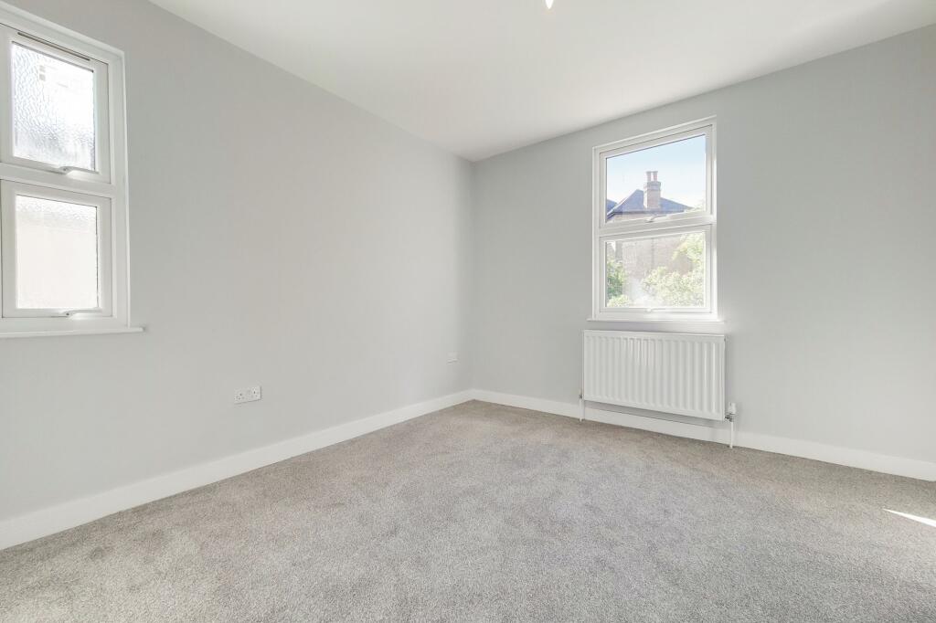
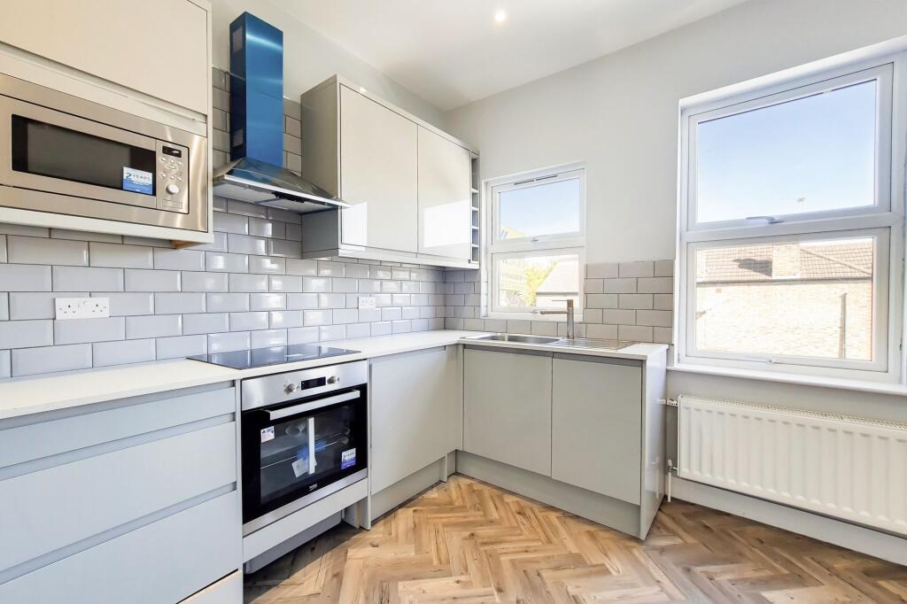
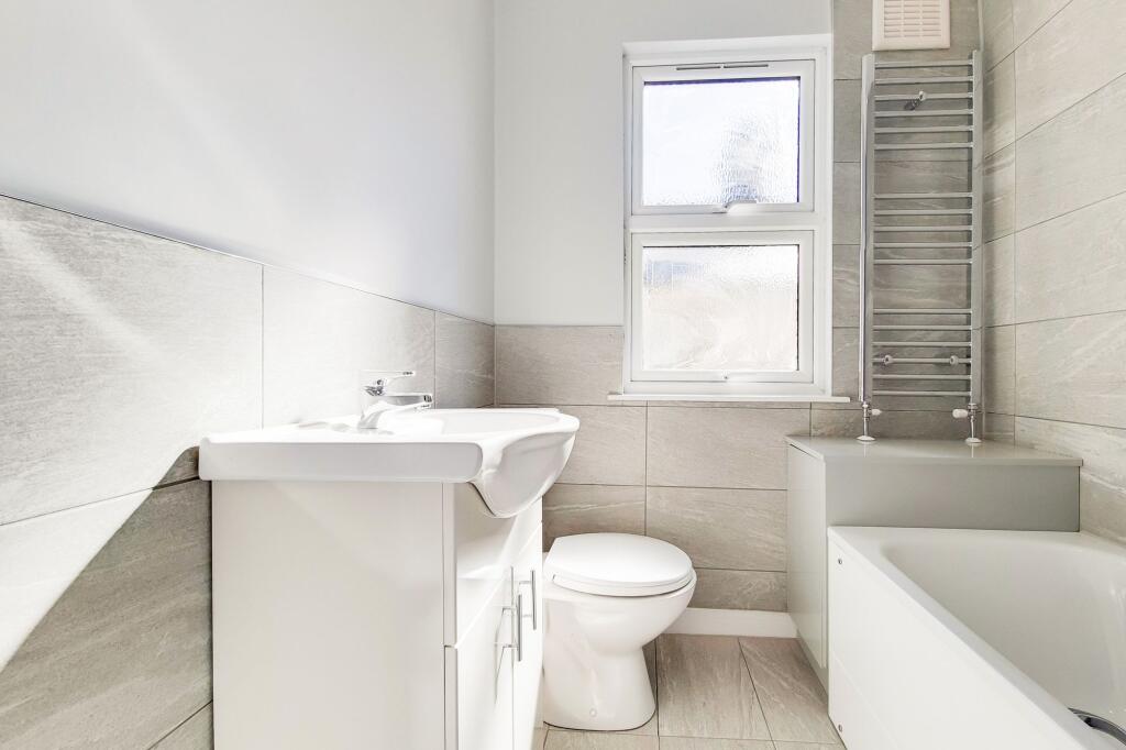
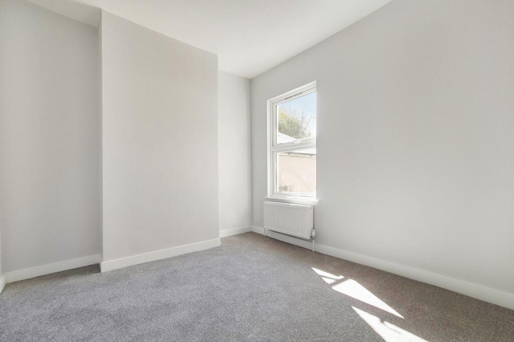
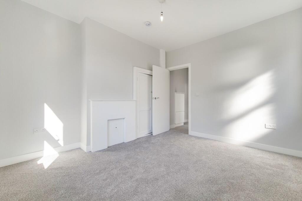
Stylish Two-Bedroom Flat Just Moments from Hilly Fields, Brockley
- Bedrooms
- 2
- Bathrooms
- 1
The heatmap indicates the level of crime in the area. The color of the heatmap indicates the crime severity and recency.
Metrics Year-on-Year
- Average area value
- 833,500.00 £Increased by 17.46 %
- Average area rental value
- 1,579.00 £/moDecreased by 30.26 %
- Est rental Yield
- 2.27 %Decreased by 40.73 %
- Crime Rate
- 1.00 %Unchanged by 0.00 %
from 709,580.00 £
from 2,264.00 £/mo
from 3.83 %
from 1.00 %
Agent Activity
Kallars created the listing.
Nearby Schools
| Name | Type | Ofsted | Distance |
|---|---|---|---|
| Prendergast School | Voluntary Aided School | Outstanding | 0.51 KM |
| Prendergast Vale School | Foundation School | Good | 0.74 KM |
| Ashmead Primary School | Community School | Good | 0.77 KM |
| St Stephen'S Cofe Primary School | Voluntary Aided School | Good | 0.90 KM |
| Tlg Lewisham | Other Independent School | Good | 0.92 KM |
Images
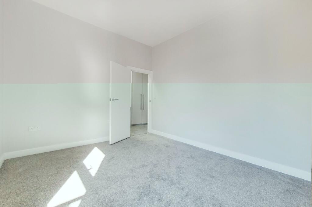
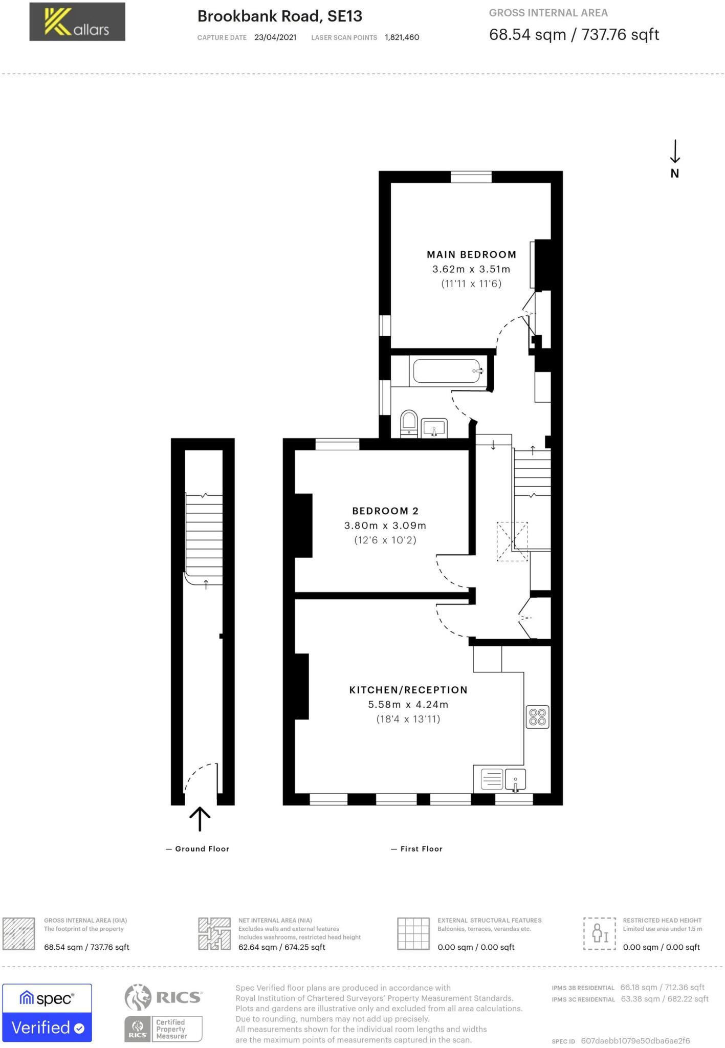
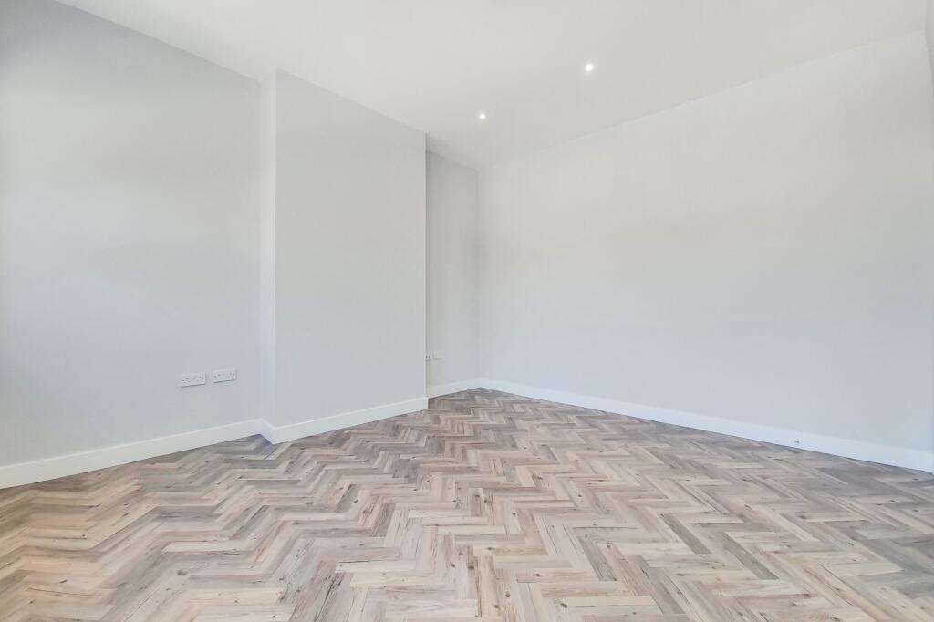
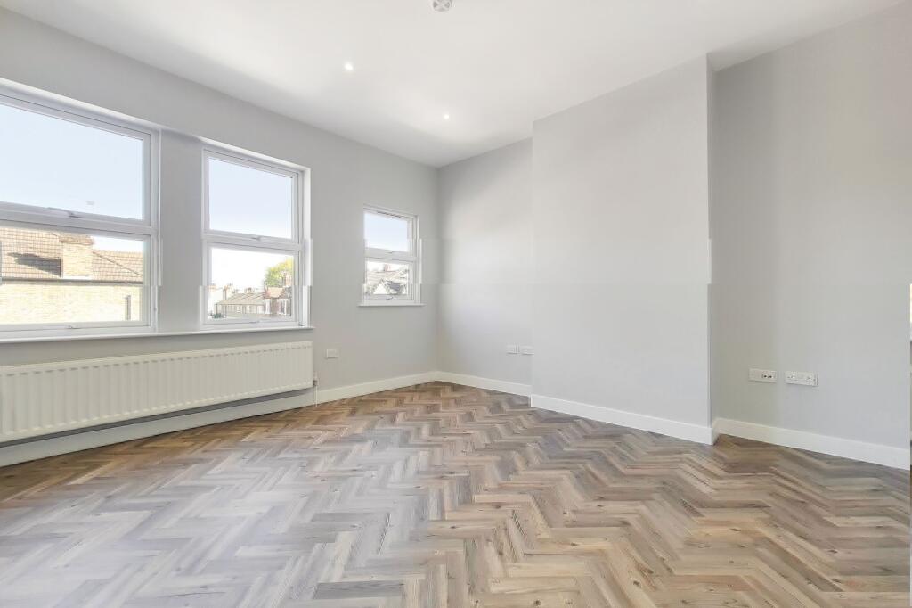
Nearby Streets
| Name | Average Price | Average Sqft | Distance |
|---|---|---|---|
| Whitepost Lane | £ 0 | 0 | 0.00 KM |
| Eastern Road | £ 1,350,000 | 0 | 0.00 KM |
| Railway Terrace | £ 245,000 | 0 | 0.00 KM |
| Breakspear Mews | £ 0 | 0 | 0.00 KM |
| Silver Road | £ 0 | 0 | 0.00 KM |
Nearby Transport
| Name | NLC | TLC | Distance |
|---|---|---|---|
| St Johns | 5059 | SAJ | 0.73 KM |
| Ladywell | 5057 | LAD | 0.85 KM |
| Lewisham | 5051 | LEW | 1.02 KM |
| Brockley | 5404 | BCY | 1.64 KM |
| Crofton Park | 5078 | CFT | 1.74 KM |
Nearby Listings
| Address | Price | Type | Score | Distance |
|---|---|---|---|---|
| Brookbank Road, Lewisham, SE13 | £ 2,200 | RENT | Unknown | 0.00 KM |
| Brookbank Road, Lewisham, SE13 | £ 1,900 | RENT | Unknown | 0.01 KM |
| Brookbank Road, Lewisham | £ 1,750 | RENT | Unknown | 0.06 KM |
| Shell Road, London | £ 3,600 | RENT | Unknown | 0.17 KM |
| Tyrwhitt Road, Lewisham, London, SE4 | £ 1,000 | RENT | Unknown | 0.20 KM |
Nearby Properties
| Address | Price | Distance |
|---|---|---|
| 82 Brookbank Road | £ 193,000 | 0.02 KM |
| 155a Brookbank Road | £ 242,500 | 0.02 KM |
| 90a Brookbank Road | £ 152,000 | 0.02 KM |
| 133b Brookbank Road | £ 475,000 | 0.02 KM |
| 129b Brookbank Road | £ 190,000 | 0.02 KM |