NO
St Andrews Close, Lancaster, LA1
By Northwood
£ 975
Northwood says ..
Ground Floor Apartment | Two Bedrooms | En Suite | Allocated Parking Space | Available Mid- August
- Bedrooms
- 2
- Bathrooms
- 1
The heatmap indicates the level of crime in the area. The color of the heatmap indicates the crime severity and recency.
Metrics Year-on-Year
- Average area value
- 216,667.00 £Increased by 6.72 %
- Average area rental value
- 634.00 £/moIncreased by 11.82 %
- Est rental Yield
- 3.51 %Increased by 4.78 %
- Crime Rate
- 3.00 %Unchanged by 0.00 %
from 203,021.00 £
from 567.00 £/mo
from 3.35 %
from 3.00 %
Agent Activity
Northwood created the listing.
Nearby Schools
| Name | Type | Ofsted | Distance |
|---|---|---|---|
| Lancaster Christ Church Church Of England Primary School | Voluntary Aided School | Good | 1.02 KM |
| Central Lancaster High School | Academy Converter | 1.18 KM | |
| Castle View Primary | Academy Sponsor Led | 1.51 KM | |
| Firbank Children'S Centre | Children's Centre | 1.65 KM | |
| Lancaster Royal Grammar School | Academy Converter | 1.74 KM |
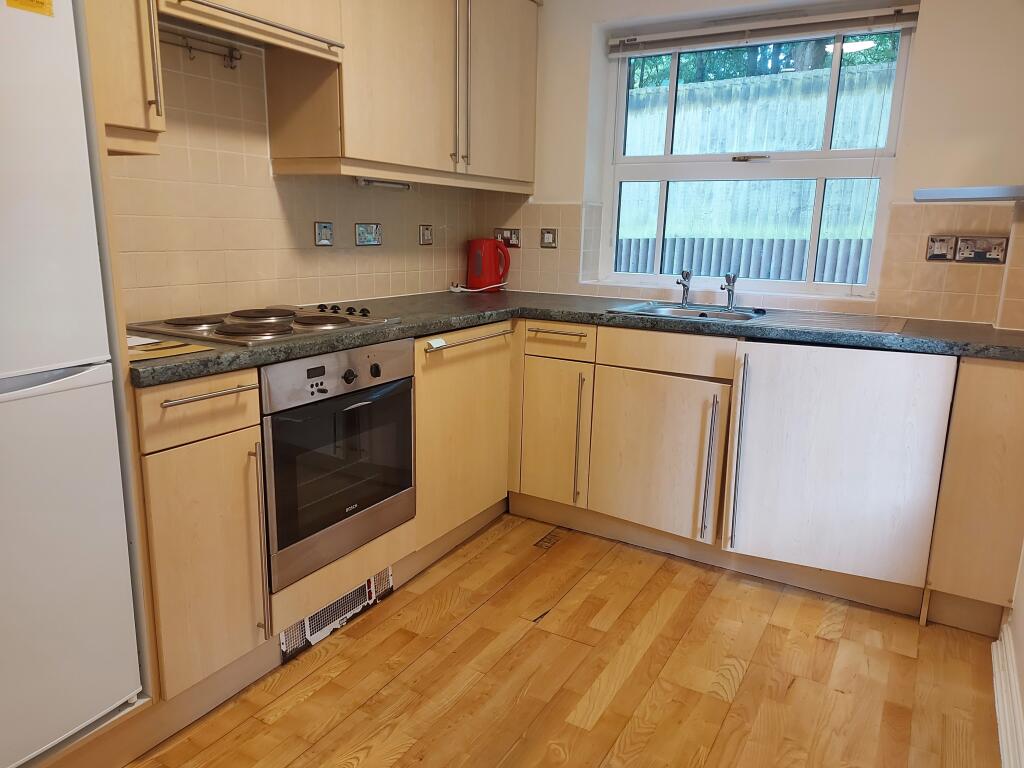
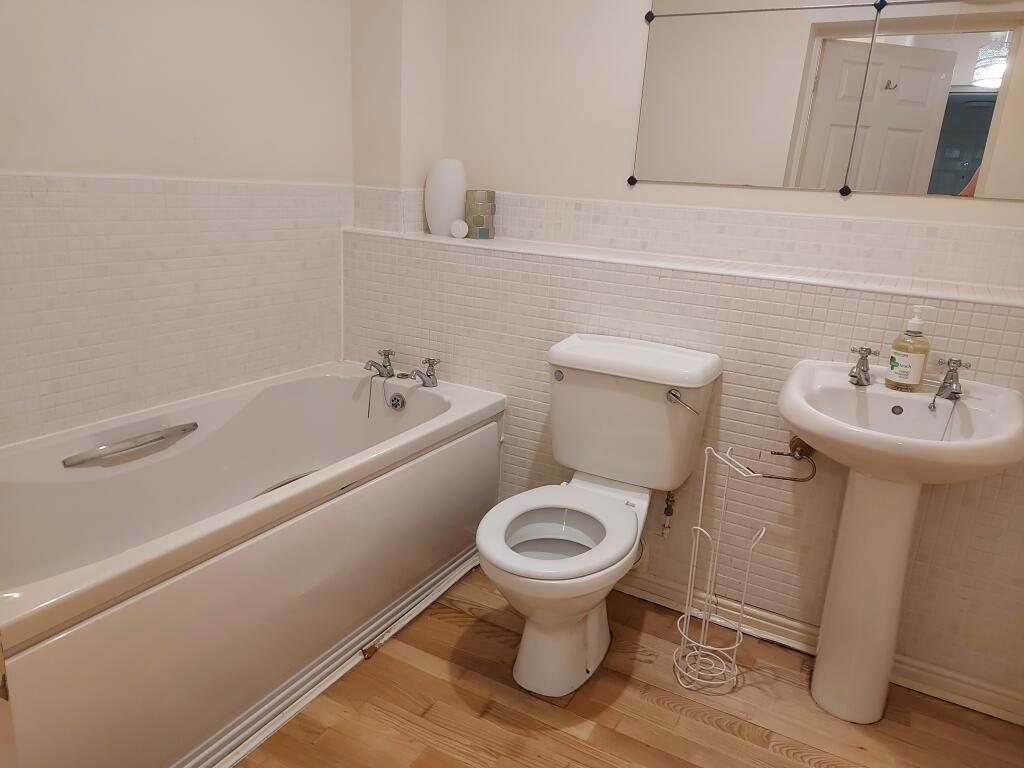
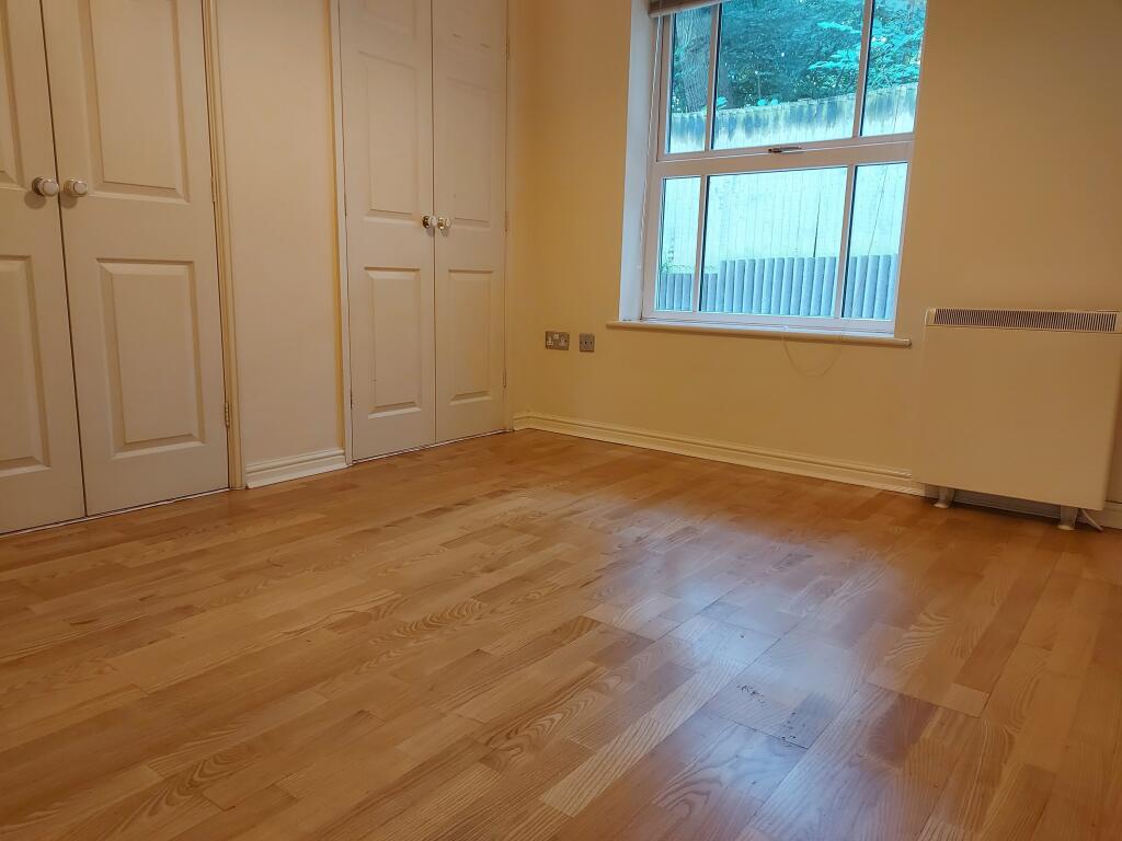
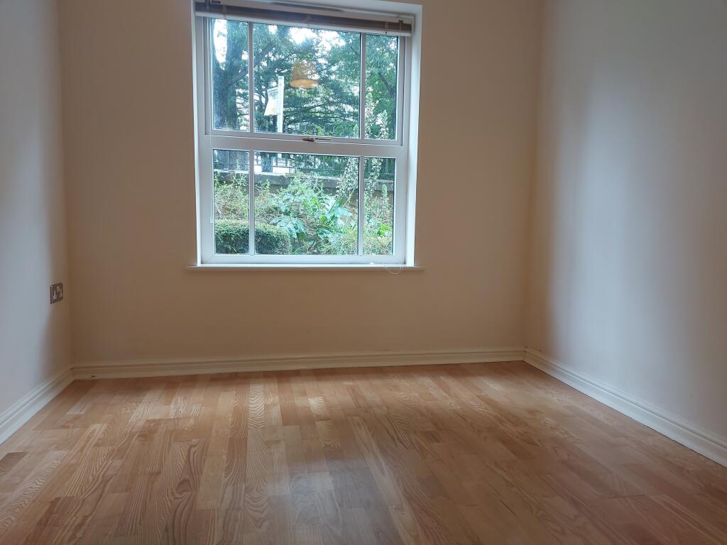
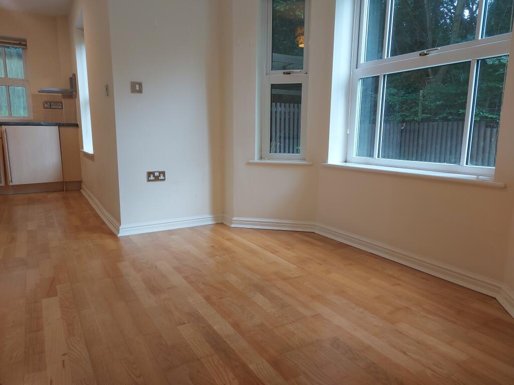
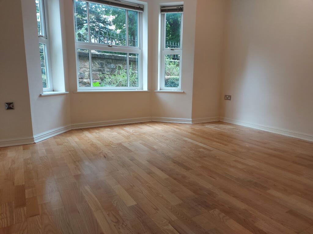
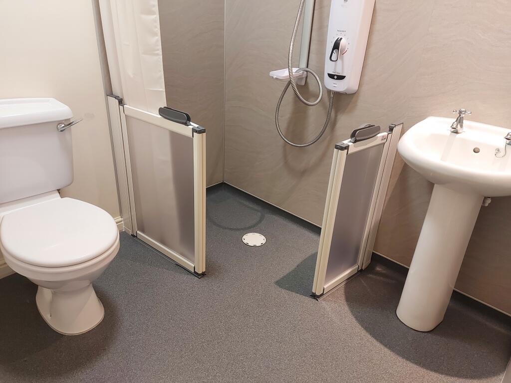
Images
Nearby Streets
| Name | Average Price | Average Sqft | Distance |
|---|---|---|---|
| Quernmore Road | £ 155,000 | 0 | 0.00 KM |
| Stone Row Head | £ 0 | 0 | 0.00 KM |
| Oakland Close | £ 0 | 0 | 0.00 KM |
| Far Moor Lane | £ 0 | 0 | 0.00 KM |
| Lowther Road | £ 0 | 0 | 0.00 KM |
Nearby Transport
| Name | NLC | TLC | Distance |
|---|---|---|---|
| Lancaster | 2685 | LAN | 3.65 KM |
| Bare Lane | 2690 | BAR | 7.35 KM |
| Carnforth | 2640 | CNF | 9.08 KM |
Nearby Listings
| Address | Price | Type | Score | Distance |
|---|---|---|---|---|
| St Andrews Close, Lancaster, LA1 | £ 975 | RENT | Unknown | 0.00 KM |
| The Residence, Kershaw Drive, Lancaster | £ 1,100 | RENT | Unknown | 0.03 KM |
| Kershaw Drive, Lancaster | £ 1,350 | RENT | Unknown | 0.20 KM |
| The Residence, Kershaw Drive, Lancaster | £ 875 | RENT | Unknown | 0.26 KM |
| Masonfield Crescent, Lancaster | £ 1,125 | RENT | Unknown | 0.28 KM |
Nearby Properties
| Address | Price | Distance |
|---|---|---|
| 4 St Andrews Close | £ 117,500 | 0.00 KM |
| 6 St Andrews Close | £ 122,500 | 0.00 KM |
| 1 St Andrews Close | £ 325,000 | 0.00 KM |
| 10 St Andrews Close | £ 145,000 | 0.00 KM |
| 12 St Andrews Close | £ 132,500 | 0.00 KM |