HA
Furlong Road, COVENTRY
By haart
£ 665
haart says ..
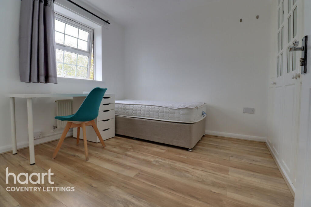
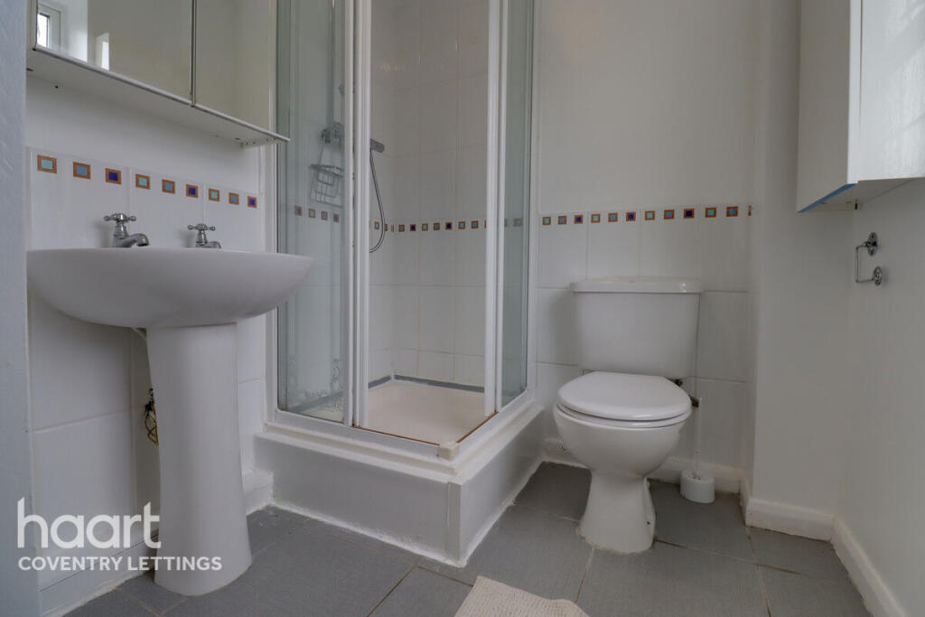
All Bills Included – Ensuite Room Available Now
- Bedrooms
- 1
- Bathrooms
- 1
The heatmap indicates the level of crime in the area. The color of the heatmap indicates the crime severity and recency.
Metrics Year-on-Year
- Average area value
- 234,977.00 £Increased by 10.88 %
- Average area rental value
- 1,065.00 £/moDecreased by 1.11 %
- Est rental Yield
- 5.44 %Decreased by 10.82 %
- Crime Rate
- 1.00 %Unchanged by 0.00 %
from 211,917.00 £
from 1,077.00 £/mo
from 6.10 %
from 1.00 %
Agent Activity
haart created the listing.
Nearby Schools
| Name | Type | Ofsted | Distance |
|---|---|---|---|
| All Saints Church Of England Primary School | Voluntary Controlled School | Good | 0.71 KM |
| Coventry University | Higher Education Institutions | Good | 0.81 KM |
| Coventry Youth Offending Service | Miscellaneous | 0.96 KM | |
| Coventry Speech And Language Service Co Manor Park Primary School | Miscellaneous | 1.21 KM | |
| Sidney Stringer Academy | Academy Sponsor Led | Outstanding | 1.22 KM |
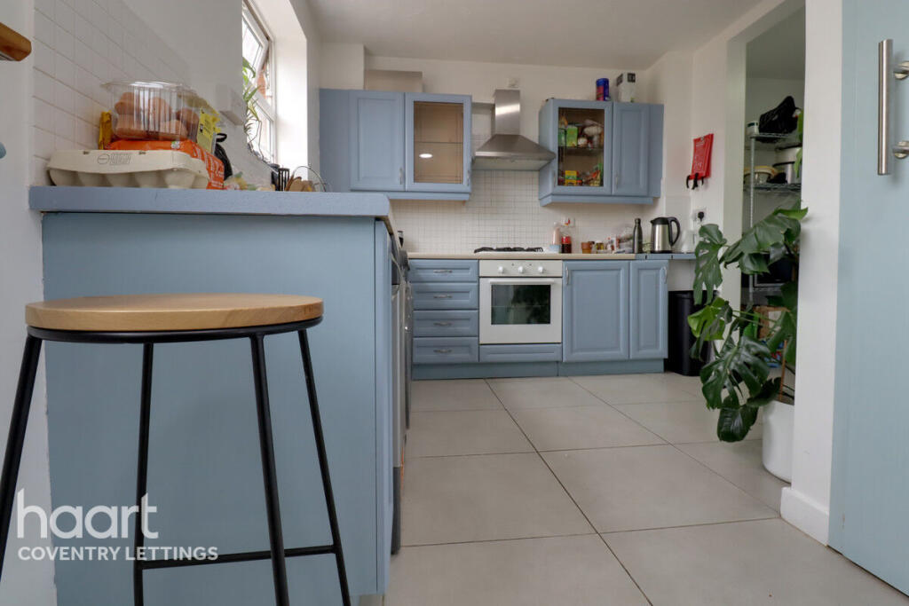
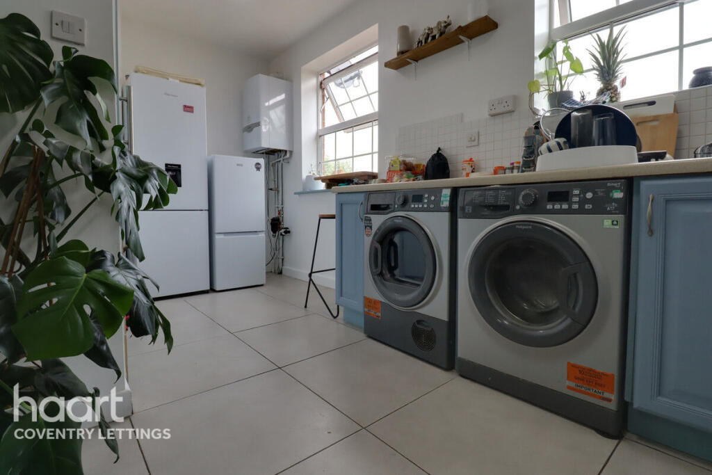
Images


Nearby Streets
| Name | Average Price | Average Sqft | Distance |
|---|---|---|---|
| Short Street | £ 0 | 0 | 0.00 KM |
| London Road | £ 180,000 | 0 | 0.00 KM |
| Ringway Whitefriars | £ 0 | 0 | 0.00 KM |
| New Union Street | £ 360,000 | 0 | 0.00 KM |
| Priory Street | £ 0 | 0 | 0.00 KM |
Nearby Transport
| Name | NLC | TLC | Distance |
|---|---|---|---|
| Coventry | 1030 | COV | 1.07 KM |
| Canley | 1129 | CNL | 4.85 KM |
| Coventry Arena | 7416 | CAA | 5.31 KM |
| Bedworth | 1165 | BEH | 9.60 KM |
Nearby Listings
| Address | Price | Type | Score | Distance |
|---|---|---|---|---|
| Furlong Road, COVENTRY | £ 665 | RENT | Unknown | 0.00 KM |
| Furlong Road, Cheylesmore, Coventry | £ 665 | RENT | Unknown | 0.01 KM |
| Furlong Road, Cheylesmore, Coventry | £ 665 | RENT | Unknown | 0.01 KM |
| Furlong Road, Coventry, CV1 | £ 1,500 | RENT | Unknown | 0.03 KM |
| Furlong Road, Cheylesmore, Coventry, CV1 | £ 1,200 | RENT | Unknown | 0.05 KM |
Nearby Properties
| Address | Price | Distance |
|---|---|---|
| 35 Furlong Road | £ 260,000 | 0.05 KM |
| 55 Furlong Road | £ 208,000 | 0.05 KM |
| 31 Furlong Road | £ 195,000 | 0.05 KM |
| 47 Furlong Road | £ 212,500 | 0.05 KM |
| 20 Furlong Road | £ 230,000 | 0.05 KM |