QU
High Street, Snodland, ME6
By Quealy & Co
£ 800
Quealy & Co says ..
| One Bedroom Apartment | Walking Distance to Town Centre | Ready to Move Into | White Goods Included |
- Bedrooms
- 1
- Bathrooms
- 1
The heatmap indicates the level of crime in the area. The color of the heatmap indicates the crime severity and recency.
Metrics Year-on-Year
- Average area value
- 259,821.00 £Increased by 8.05 %
- Average area rental value
- 1,011.00 £/moIncreased by 5.53 %
- Est rental Yield
- 4.67 %Decreased by 2.30 %
- Crime Rate
- 26.00 %Unchanged by 0.00 %
from 240,470.00 £
from 958.00 £/mo
from 4.78 %
from 26.00 %
Agent Activity
Quealy & Co created the listing.
Nearby Schools
| Name | Type | Ofsted | Distance |
|---|---|---|---|
| Valley Invicta Primary School At Holborough Lakes | Academy Sponsor Led | Good | 0.64 KM |
| Snodland Youth And Children'S Centre | Children's Centre | 1.10 KM | |
| Grow 19 Ltd | Special Post 16 Institution | 1.10 KM | |
| The Holmesdale School | Academy Sponsor Led | 1.10 KM | |
| Borough Green Children'S Centre | Children's Centre | 1.10 KM |
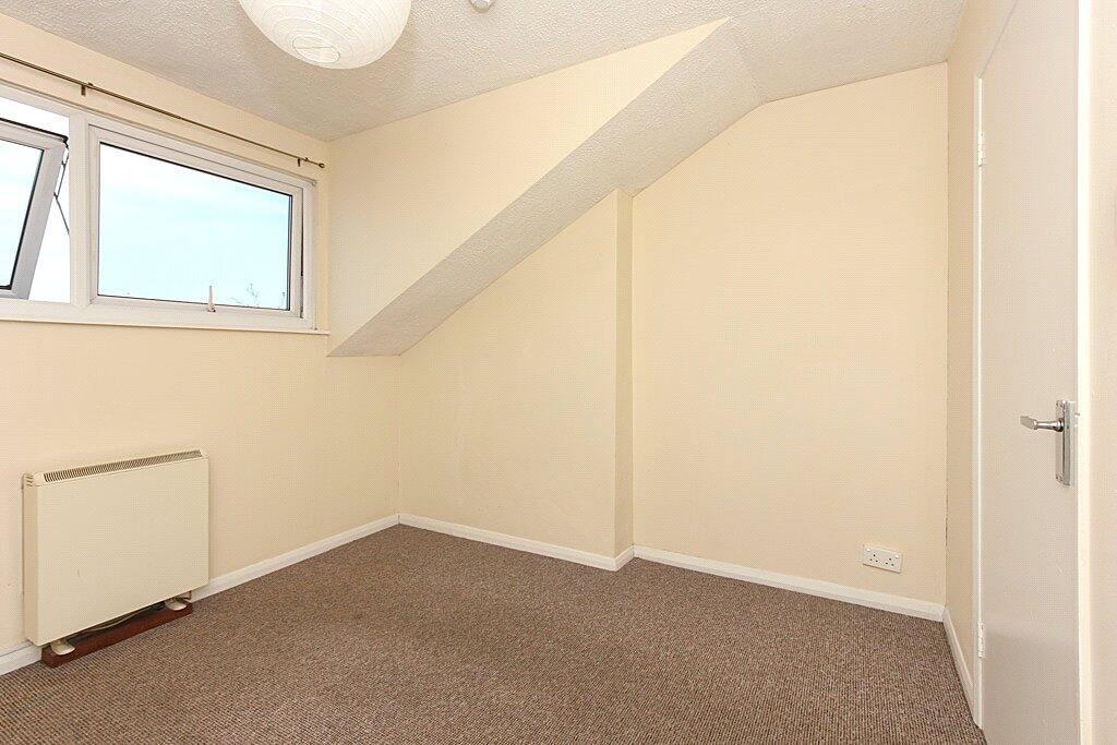
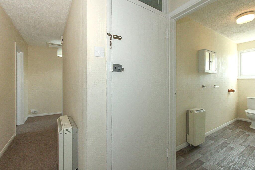
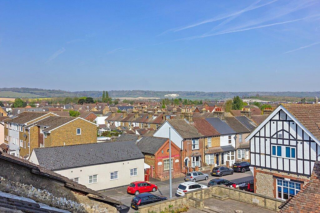
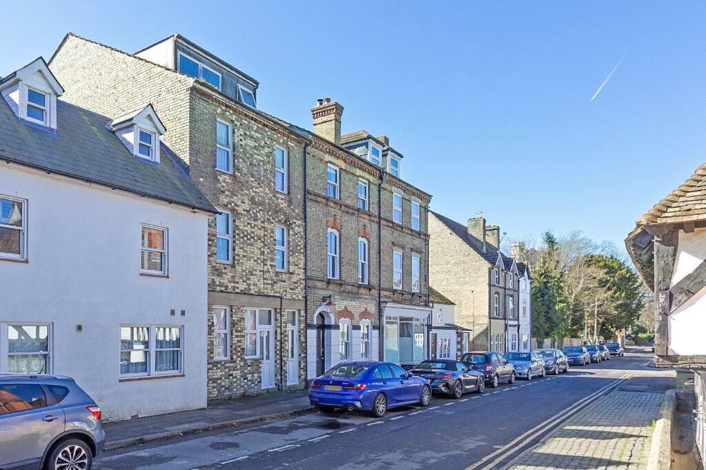
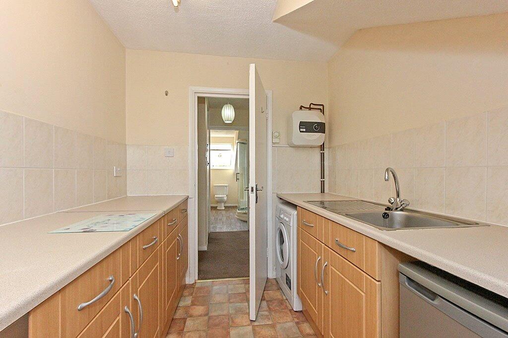
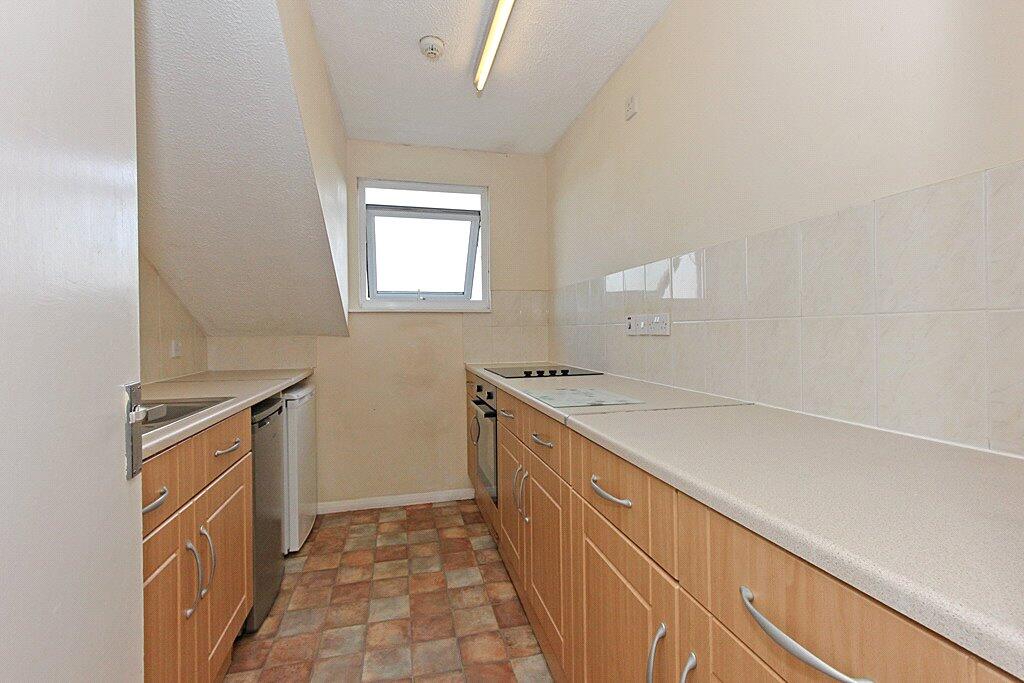
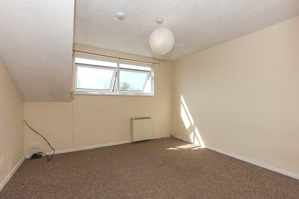
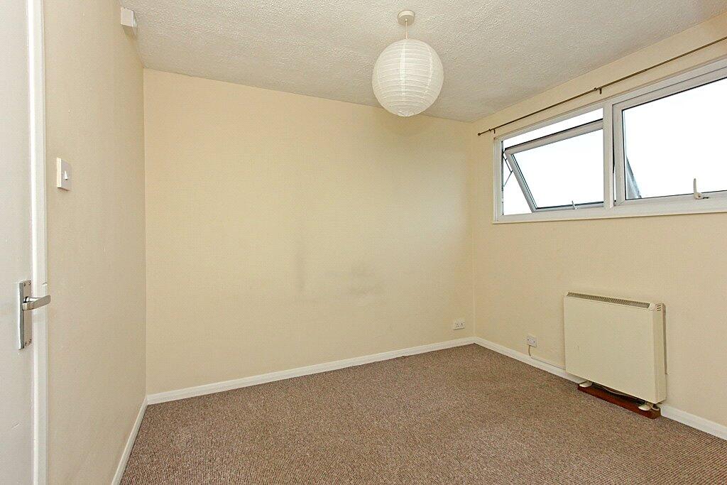
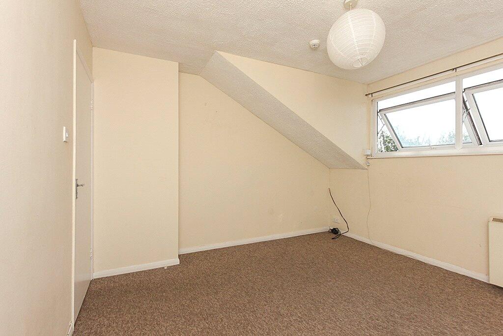
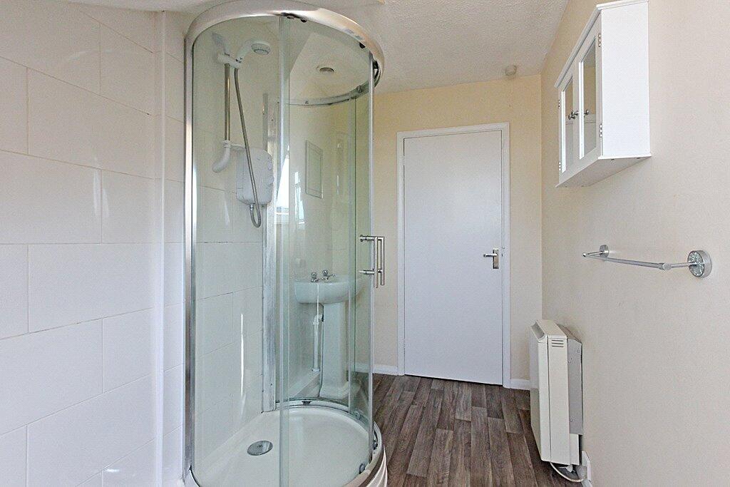
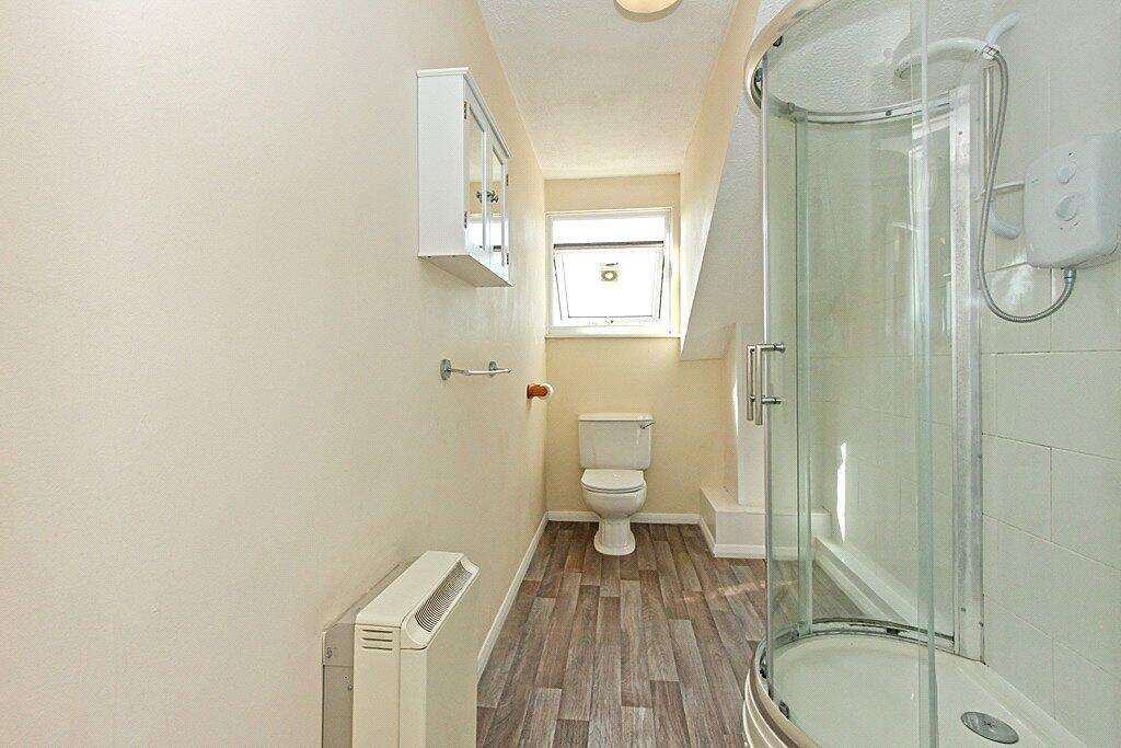
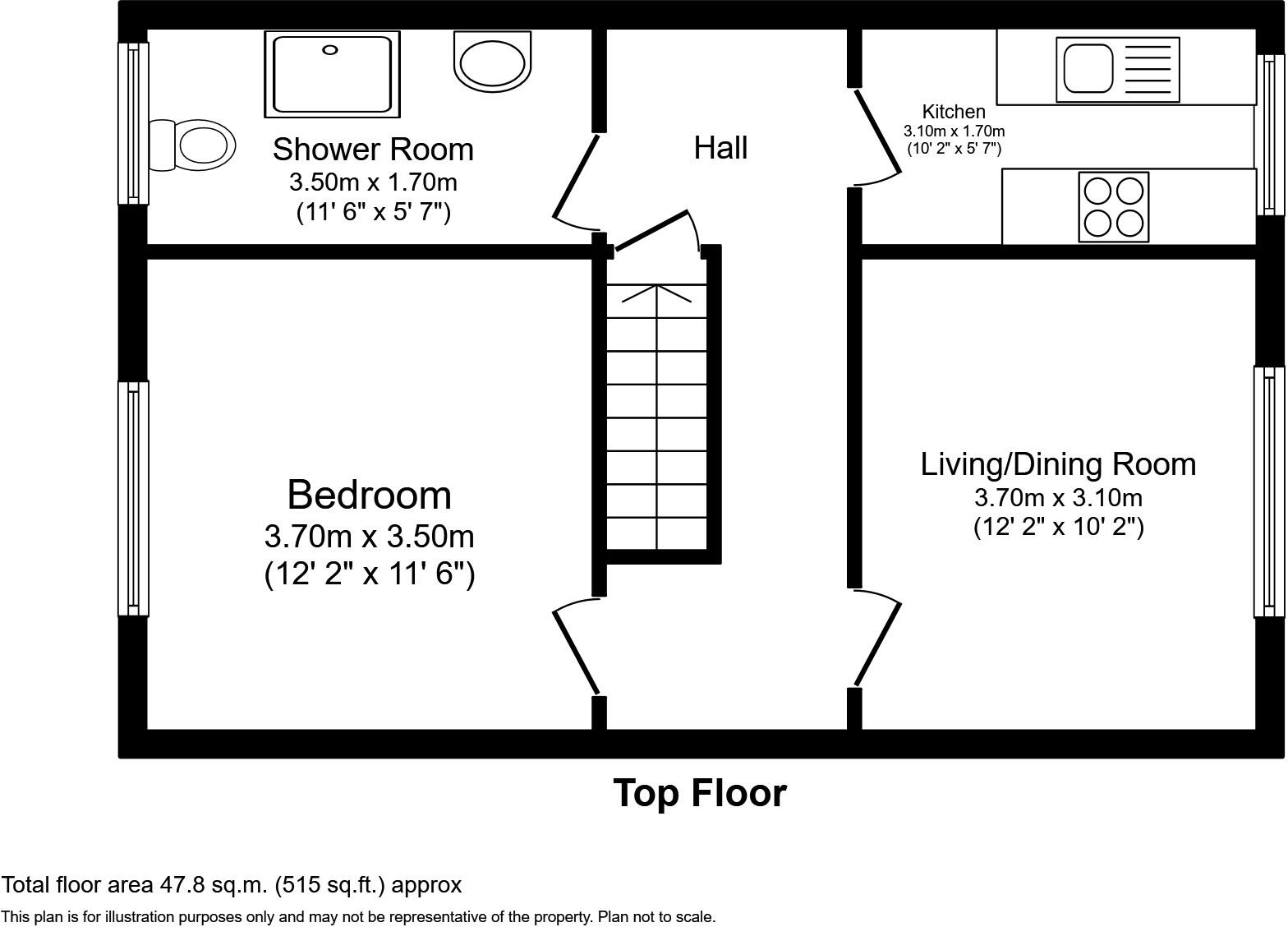
Images
Nearby Streets
| Name | Average Price | Average Sqft | Distance |
|---|---|---|---|
| Lambert Mews | £ 0 | 0 | 0.00 KM |
| Hendy Road | £ 0 | 0 | 0.00 KM |
| High Street | £ 0 | 0 | 0.00 KM |
| Bull Fields | £ 0 | 0 | 0.00 KM |
| Oxford Street | £ 0 | 0 | 0.00 KM |
Nearby Transport
| Name | NLC | TLC | Distance |
|---|---|---|---|
| Snodland | 5189 | SDA | 0.23 KM |
| New Hythe | 5238 | NHE | 2.09 KM |
| Halling | 5173 | HAI | 2.54 KM |
| Aylesford | 5162 | AYL | 3.85 KM |
| East Malling | 5134 | EML | 4.94 KM |
Nearby Listings
| Address | Price | Type | Score | Distance |
|---|---|---|---|---|
| High Street, Snodland, ME6 | £ 800 | RENT | Unknown | 0.00 KM |
| High Street, Snodland, ME6 | £ 750 | RENT | Unknown | 0.00 KM |
| High Street, Snodland, ME6 | £ 1,200 | RENT | Unknown | 0.19 KM |
| Queens Avenue, Snodland, ME6 | £ 1,500 | RENT | Unknown | 0.27 KM |
| High Street, Snodland, ME6 | £ 1,450 | RENT | Unknown | 0.28 KM |
Nearby Properties
| Address | Price | Distance |
|---|---|---|
| 88a High Street | £ 287,000 | 0.00 KM |
| 92 High Street | £ 250,000 | 0.02 KM |
| 4 Rocfort Road | £ 235,000 | 0.04 KM |
| 2 Rocfort Road | £ 225,000 | 0.04 KM |
| 31 Waghorn Road | £ 242,000 | 0.10 KM |