Black Dad Lane, Rochdale, Greater Manchester, OL11
By Banks Chartered Surveyors
£ 125,000
Reviews
2 out of 5 stars
Banks Chartered Surveyors says ..
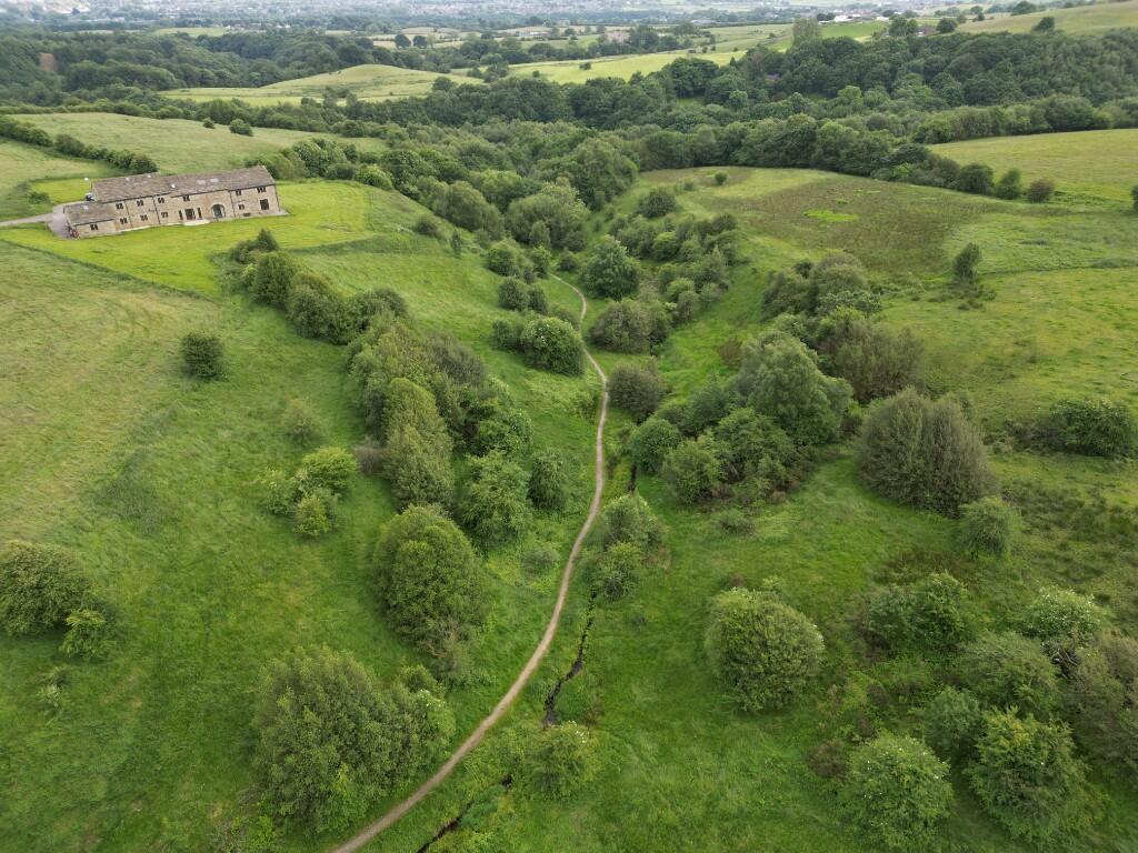
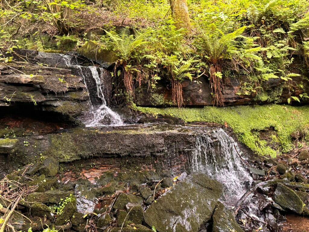
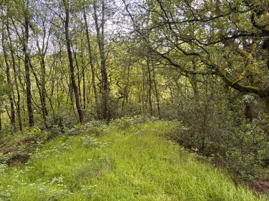
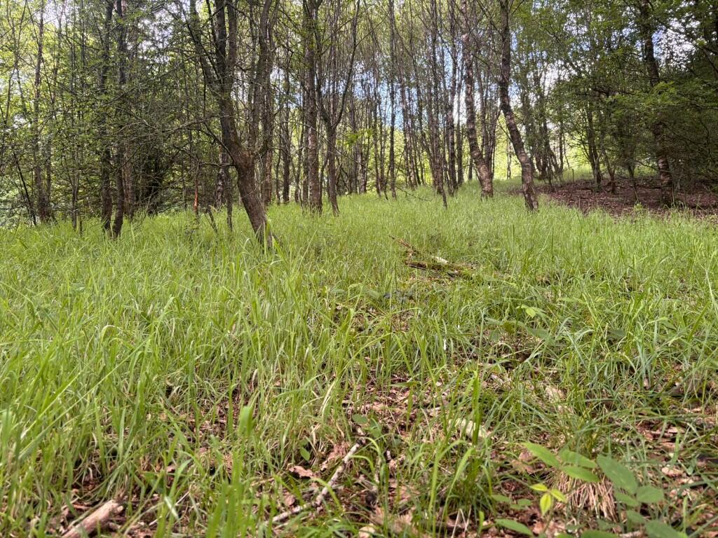
An excellent opportunity to acquire a mixture of agricultural land and woodland extending to circa 23.07 acres (9.34 hectares) or thereabouts. The Subject Property is located between the picturesque Cheesden Valley and Ashworth Valley.
Property Oracle says ..
This listing presents a unique opportunity to acquire a significant parcel of land in the Norden area of Rochdale. The property consists of approximately 23.07 acres encompassing farmland and woodland situated between the Cheesden and Ashworth Valleys. The aerial photography highlights the undeveloped nature of the land, which presents a considerable amount of potential, although the extent of any planning permissions or potential restrictions would require further investigation. The listing price of £125,000 might seem low per acre compared to other similar properties, especially in areas with more developed infrastructure. However, the lack of any existing building or infrastructure on the site, the required preparation before building, and the specific planning constraints must be accounted for. Buyers interested in this property should independently verify the legal and developmental possibilities, including potential planning consents, environmental impact assessments, and any potential infrastructure costs. The relative remoteness of the site needs to be considered, as accessibility may be limited depending on intended use and proximity to main roads or transport links. Given the size of the land, prospective buyers should be mindful of the significant financial and practical requirements associated with land ownership and development. The property is suitable for buyers seeking a large plot of land for various purposes, such as agricultural use, conservation, or potential future development after careful planning and due diligence.
Therefore, we give this property 5 / 10. *Disclaimer: This is our option and does constitute a recommendation or financial advice. Do your own research. *
- Price
- 7
- Condition
- 3
- Location
- 4
- Land
- 8
- Bedrooms
- 0
- Bathrooms
- 0
The heatmap indicates the level of crime in the area. The color of the heatmap indicates the crime severity and recency.
Metrics Year-on-Year
- Average area value
- 511,000.00 £Increased by 12.42 %
- Average area rental value
- 1,413.00 £/moDecreased by 25.47 %
- Est rental Yield
- 3.32 %Decreased by 33.73 %
- Crime Rate
- 0.00 %
Agent Activity
Banks Chartered Surveyors marked this listing as sold.
Banks Chartered Surveyors created the listing.
Nearby Schools
| Name | Type | Ofsted | Distance |
|---|---|---|---|
| Pennine House Hospital School | Other Independent School | Good | 2.83 KM |
| St Michael'S Church Of England Primary School, Bamford | Voluntary Aided School | Outstanding | 3.02 KM |
| Derby Street Children'S Centre | Children's Centre | 3.10 KM | |
| Whittaker Moss Primary School | Community School | Outstanding | 3.12 KM |
| Fairfield Community Primary School | Community School | Good | 3.40 KM |
Images


Nearby Streets
| Name | Average Price | Average Sqft | Distance |
|---|---|---|---|
| New Birtle | £ 0 | 0 | 0.00 KM |
Nearby Transport
| Name | NLC | TLC | Distance |
|---|---|---|---|
| Castleton (Manchester) | 2919 | CAS | 7.56 KM |
| Rochdale | 2924 | RCD | 9.64 KM |
Nearby Listings
| Address | Price | Type | Score | Distance |
|---|---|---|---|---|
| Black Dad Lane, Rochdale, Greater Manchester, OL11 | £ 125,000 | BUY | 5 / 10 | 0.00 KM |
| Meadow Head Lane, Rochdale, Greater Manchester, OL11 | £ 300,000 | BUY | Unknown | 0.98 KM |
| Fernises Farm, OL10 | £ 1,350,000 | BUY | Unknown | 1.27 KM |
| Fernises Farm, OL10 | £ 1,350,000 | BUY | 7 / 10 | 1.29 KM |
| Ashworth Road, Rochdale | £ 550,000 | BUY | Unknown | 1.33 KM |
Nearby Properties
| Address | Price | Distance |
|---|---|---|
| Higher Tack Lea Farm | £ 975,000 | 1.59 KM |
| 28 - 29 Spring View | £ 625,000 | 1.64 KM |
| 4 The Ormrods | £ 35,000 | 1.76 KM |
| 5 The Ormrods | £ 170,000 | 1.76 KM |
| 3 The Ormrods | £ 150,000 | 1.76 KM |