MI
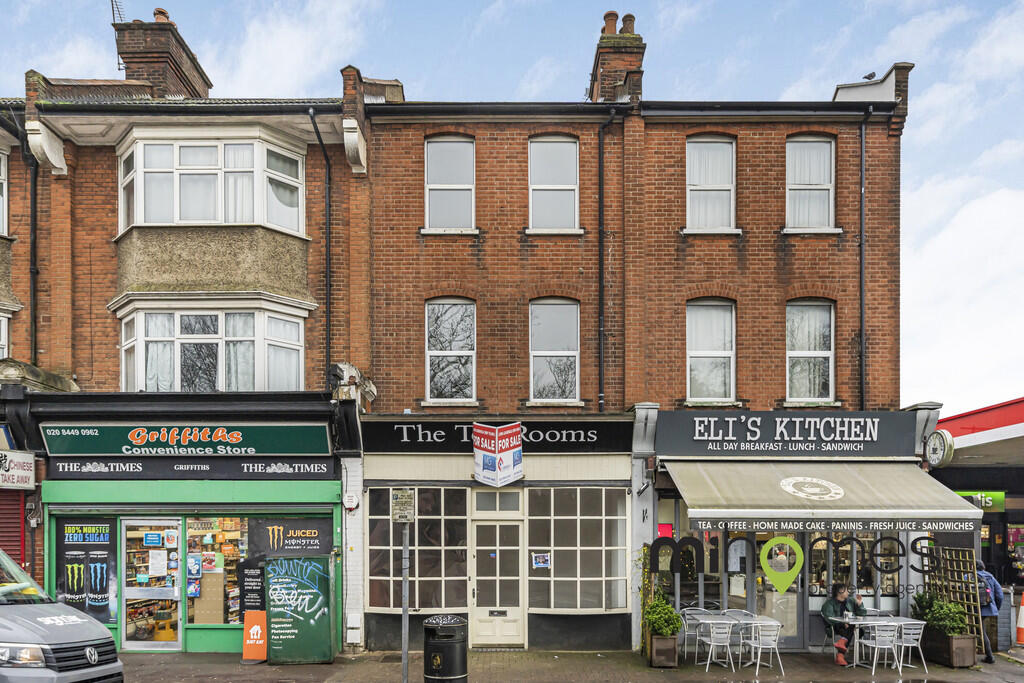
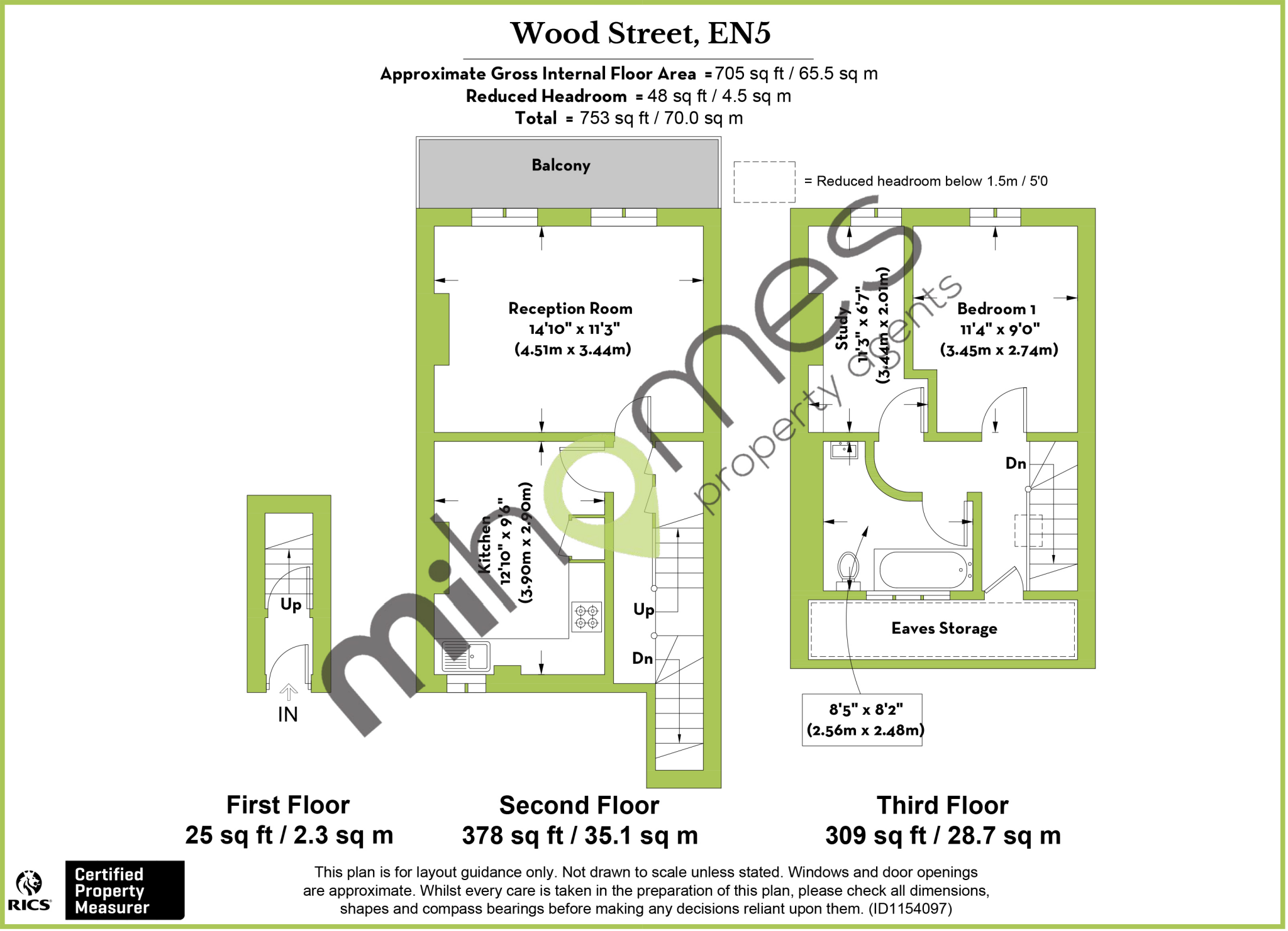
Wood Street, Barnet
By mi homes
£ 1,700
mi homes says ..
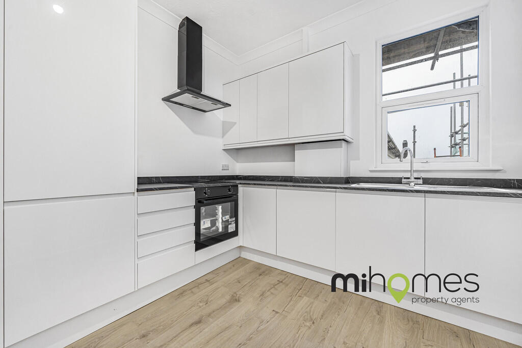
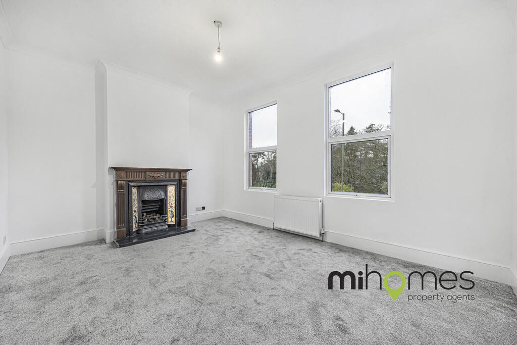
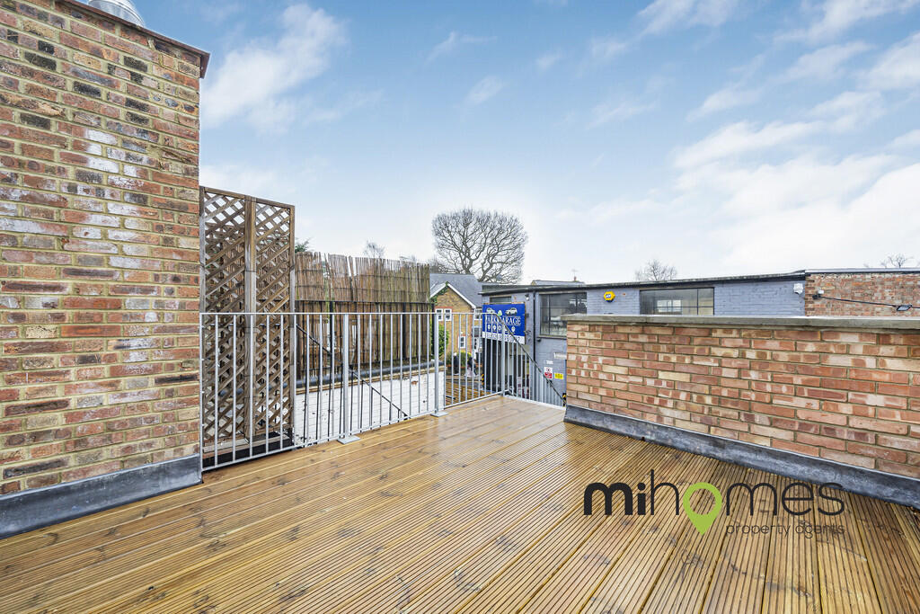
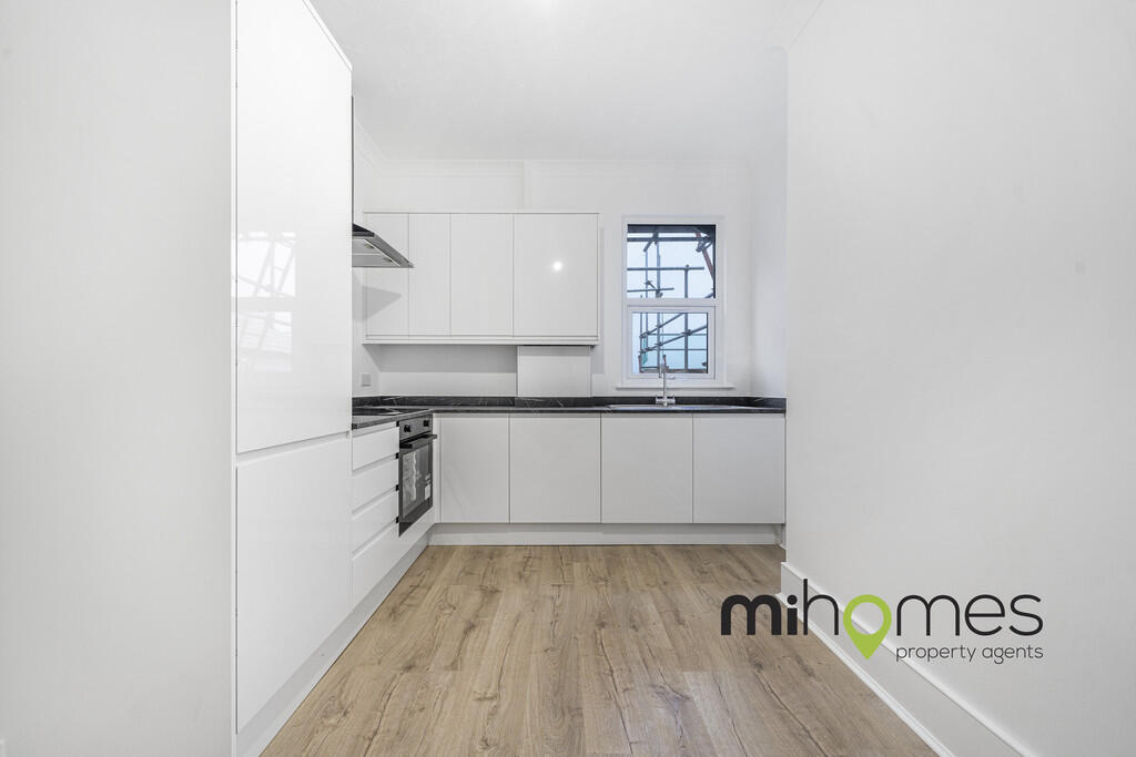
COMMUNAL OUTDOOR SPACE | 2 BEDROOM DUPLEX APARTMENT | CLOSE TO LOCAL AMENITIES
- Bedrooms
- 2
- Bathrooms
- 1
The heatmap indicates the level of crime in the area. The color of the heatmap indicates the crime severity and recency.
Metrics Year-on-Year
- Average area value
- 611,244.00 £Decreased by 15.06 %
- Average area rental value
- 2,619.00 £/moIncreased by 31.34 %
- Est rental Yield
- 5.14 %Increased by 54.82 %
- Crime Rate
- 9.00 %Unchanged by 0.00 %
from 719,645.00 £
from 1,994.00 £/mo
from 3.32 %
from 9.00 %
Agent Activity
mi homes created the listing.
Nearby Schools
| Name | Type | Ofsted | Distance |
|---|---|---|---|
| Queen Elizabeth'S School, Barnet | Academy Converter | 0.43 KM | |
| Foulds School | Community School | Good | 0.44 KM |
| Christ Church Primary School | Voluntary Aided School | Good | 0.72 KM |
| Underhill Infants School And Children'S Centre | Children's Centre | 0.92 KM | |
| Underhill School | Community School | Requires improvement | 0.97 KM |
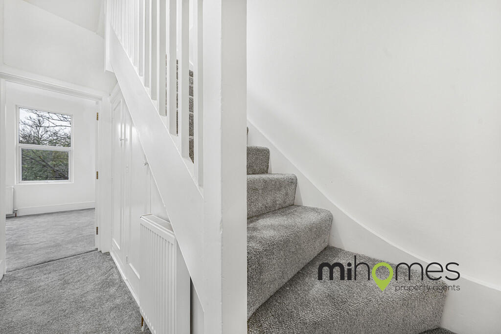
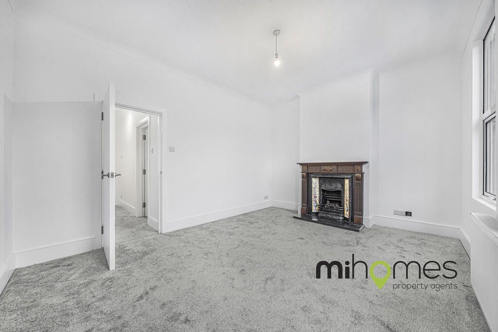
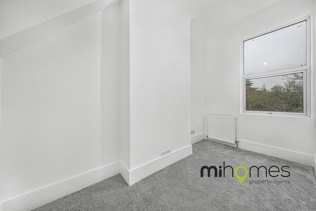
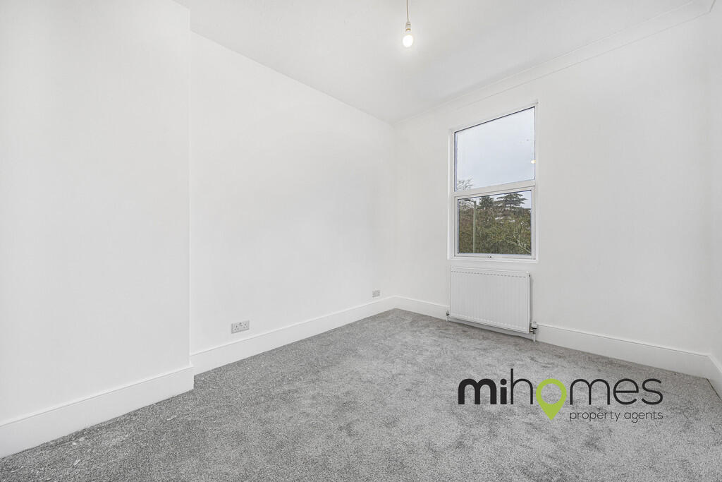
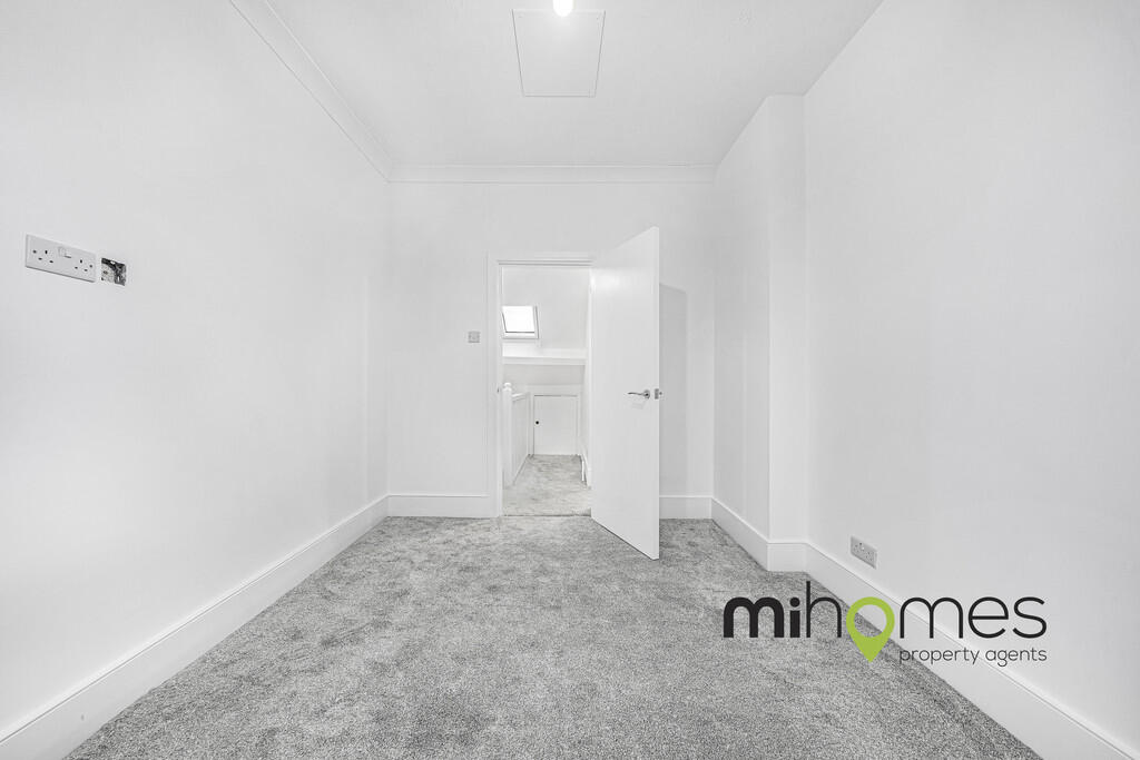
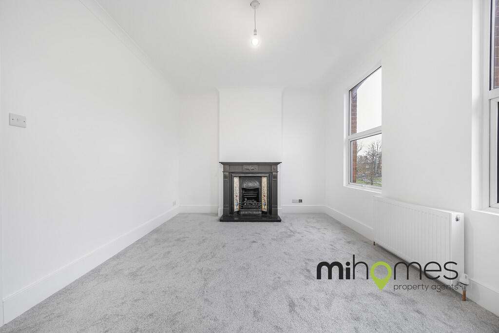
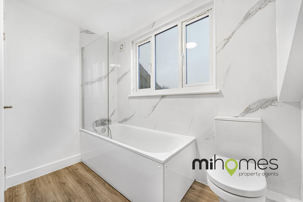
Images

Nearby Streets
| Name | Average Price | Average Sqft | Distance |
|---|---|---|---|
| Spring Close | £ 0 | 0 | 0.00 KM |
| Eleanor Gardens | £ 0 | 0 | 0.00 KM |
| Oyster Close | £ 725,000 | 0 | 0.00 KM |
| Dormer Close | £ 665,000 | 0 | 0.00 KM |
| Hill Close | £ 525,000 | 0 | 0.00 KM |
Nearby Transport
| Name | NLC | TLC | Distance |
|---|---|---|---|
| New Barnet | 6018 | NBA | 4.15 KM |
| Hadley Wood | 6075 | HDW | 4.16 KM |
| Oakleigh Park | 6020 | OKL | 5.15 KM |
| Potters Bar | 6022 | PBR | 5.32 KM |
| Mill Hill Broadway | 1527 | MIL | 6.16 KM |
Nearby Listings
| Address | Price | Type | Score | Distance |
|---|---|---|---|---|
| Wood Street, Barnet | £ 1,700 | RENT | Unknown | 0.00 KM |
| Wood Street, High Barnet, EN5 | £ 1,800 | RENT | Unknown | 0.05 KM |
| Wessex Court, West End Lane, Barnet, Hertfordshire, EN5 | £ 1,400 | RENT | Unknown | 0.14 KM |
| Bells Hill, Barnet, EN5 | £ 1,300 | RENT | Unknown | 0.18 KM |
| Barnet, null, EN5 | £ 2,000 | RENT | Unknown | 0.19 KM |
Nearby Properties
| Address | Price | Distance |
|---|---|---|
| 83a Wood Street | £ 235,000 | 0.00 KM |
| 121 Wood Street | £ 332,500 | 0.00 KM |
| 109 Wood Street | £ 402,000 | 0.00 KM |
| 105c Wood Street | £ 250,000 | 0.00 KM |
| 139 Wood Street | £ 495,000 | 0.02 KM |