Hunters says ..
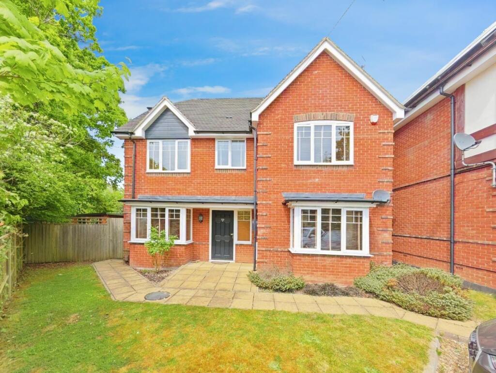
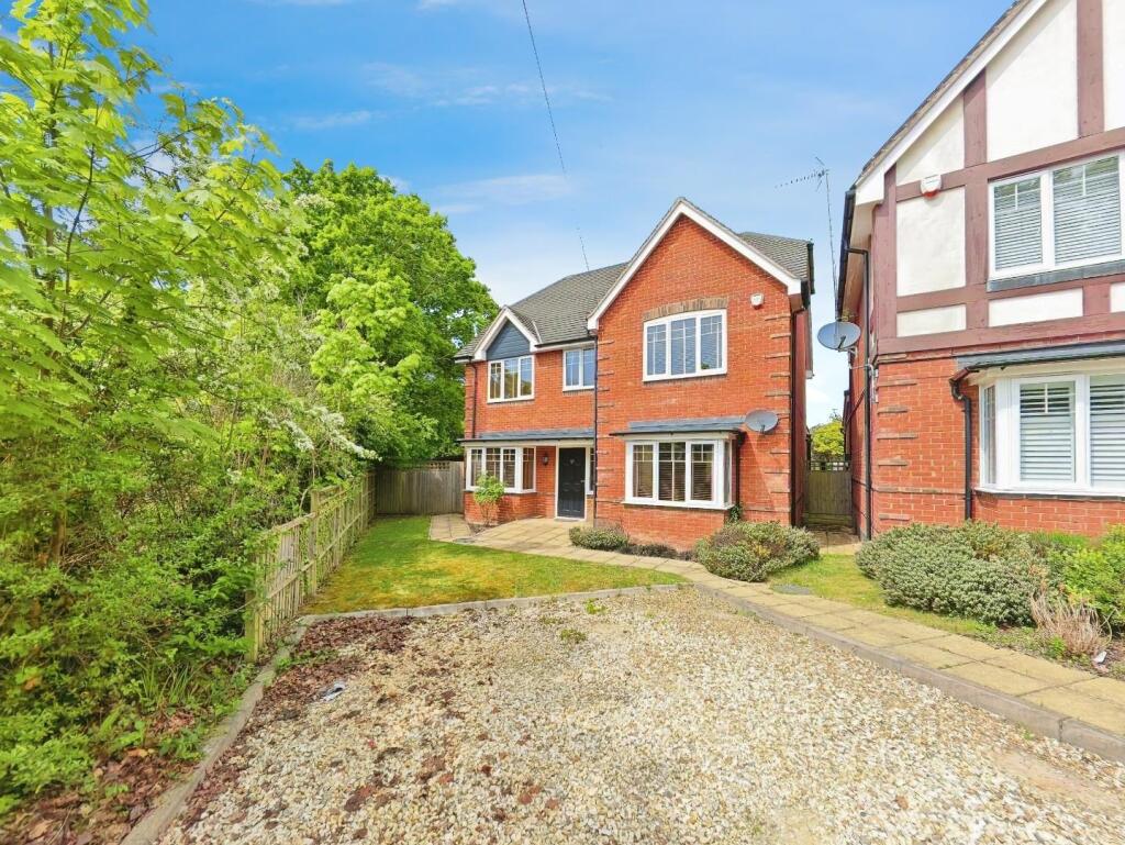
Located on one of Wokingham’s most desirable roads, this beautifully presented four double bedroom detached home delivers the perfect balance of luxurious finishes, expansive living space, and outstanding outdoor features. Tucked away on the prestigious Plough Lane, this home offers both tranquil...
Property Oracle says ..
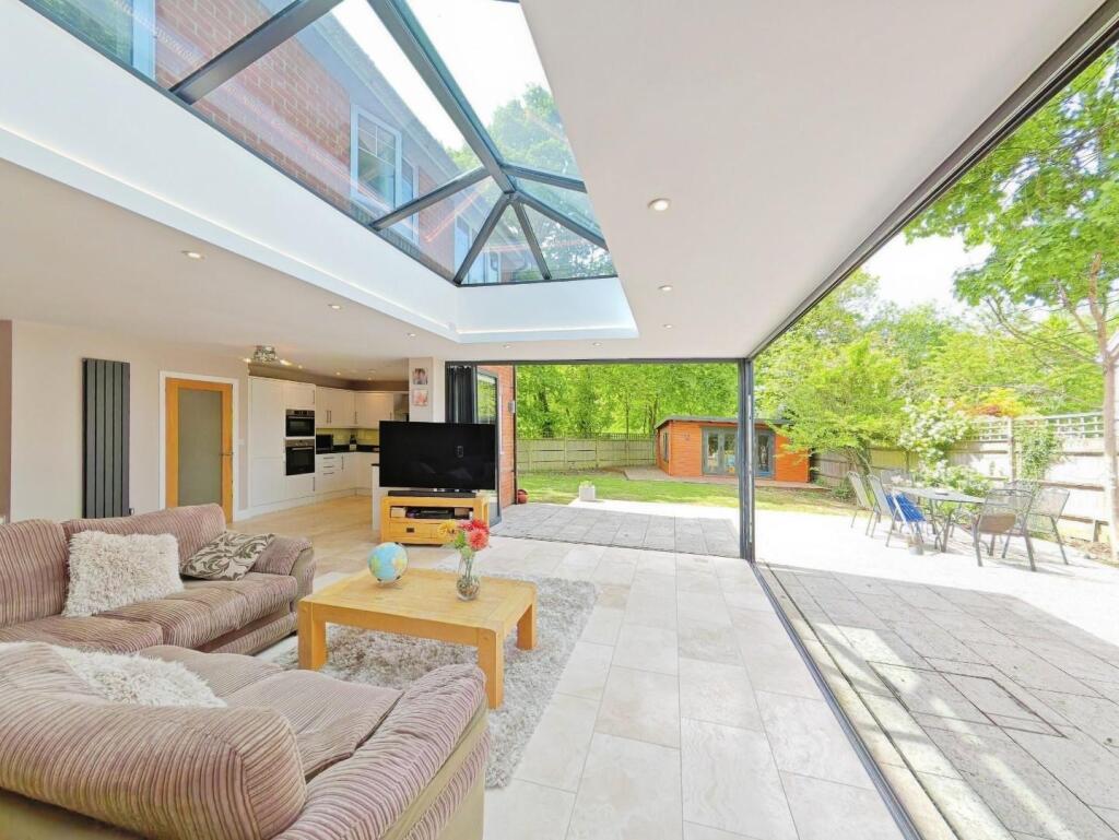
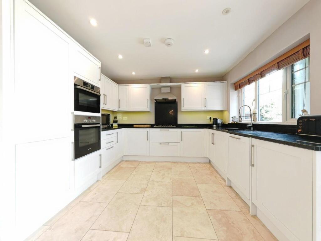
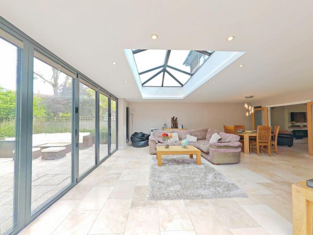
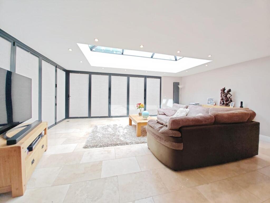
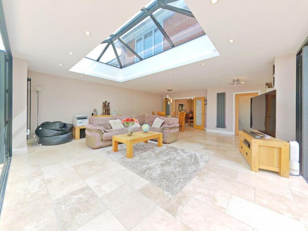
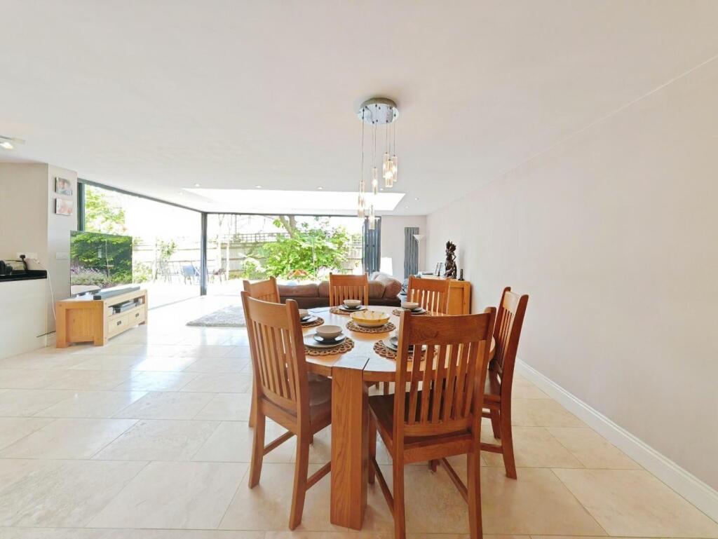
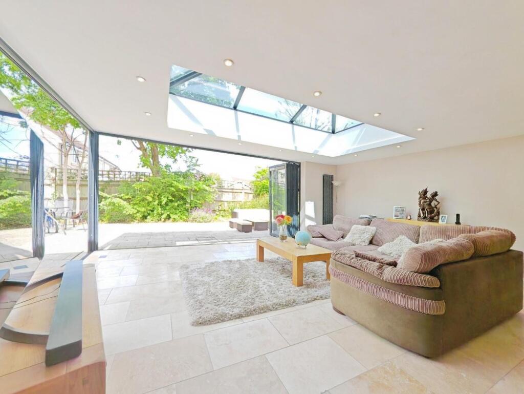
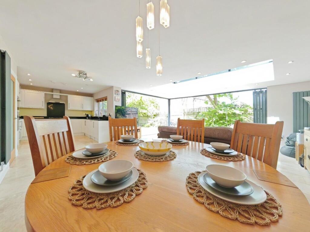
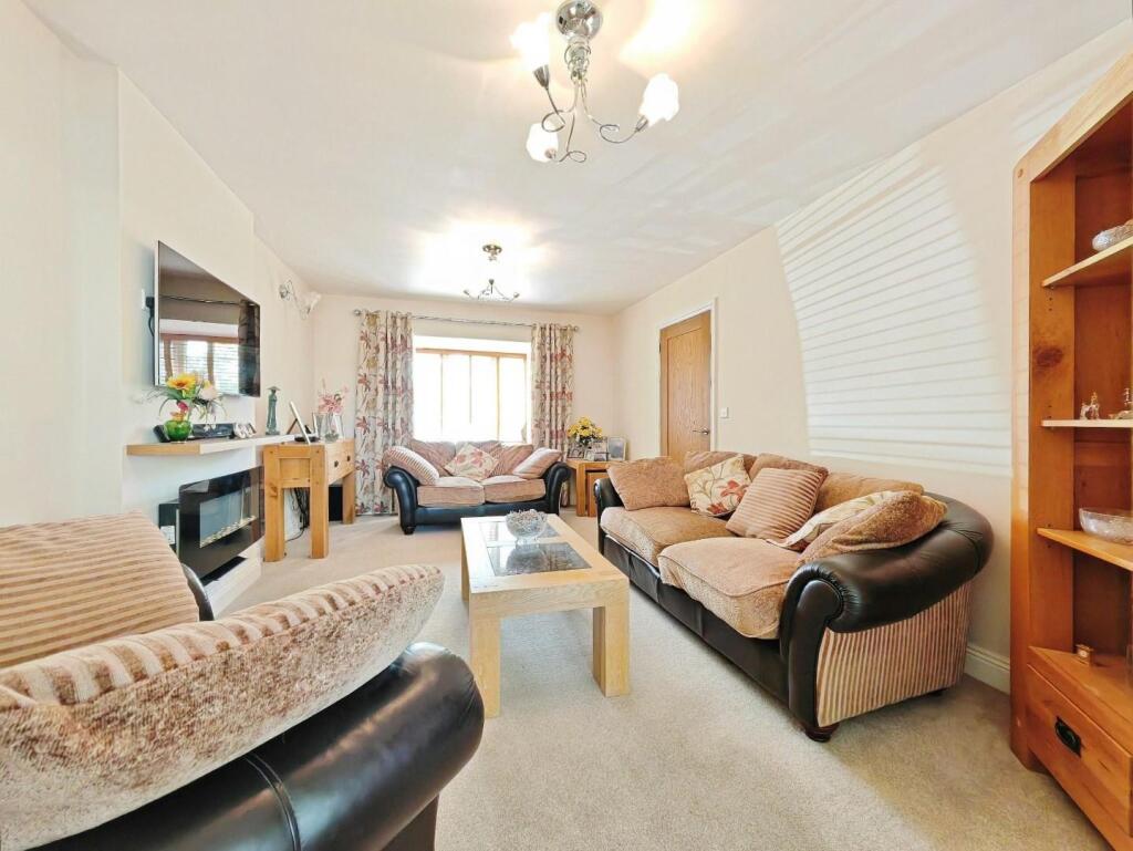
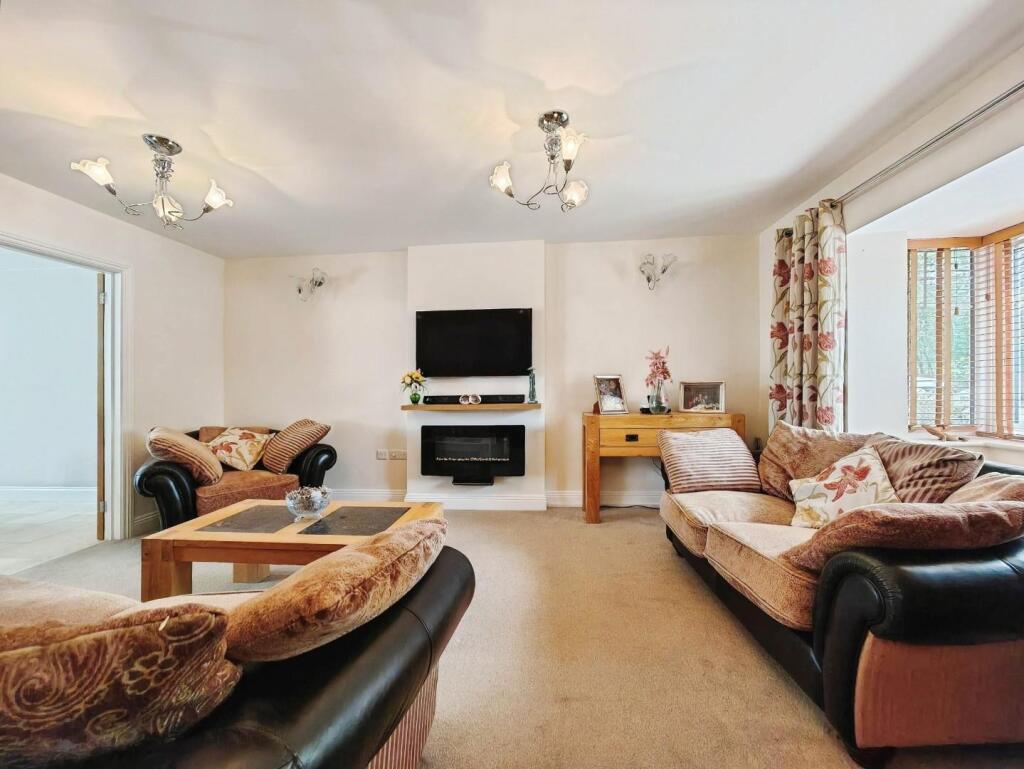
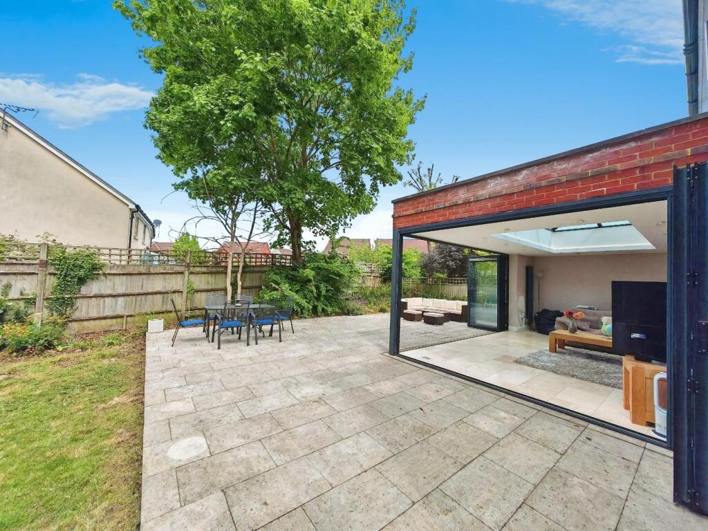
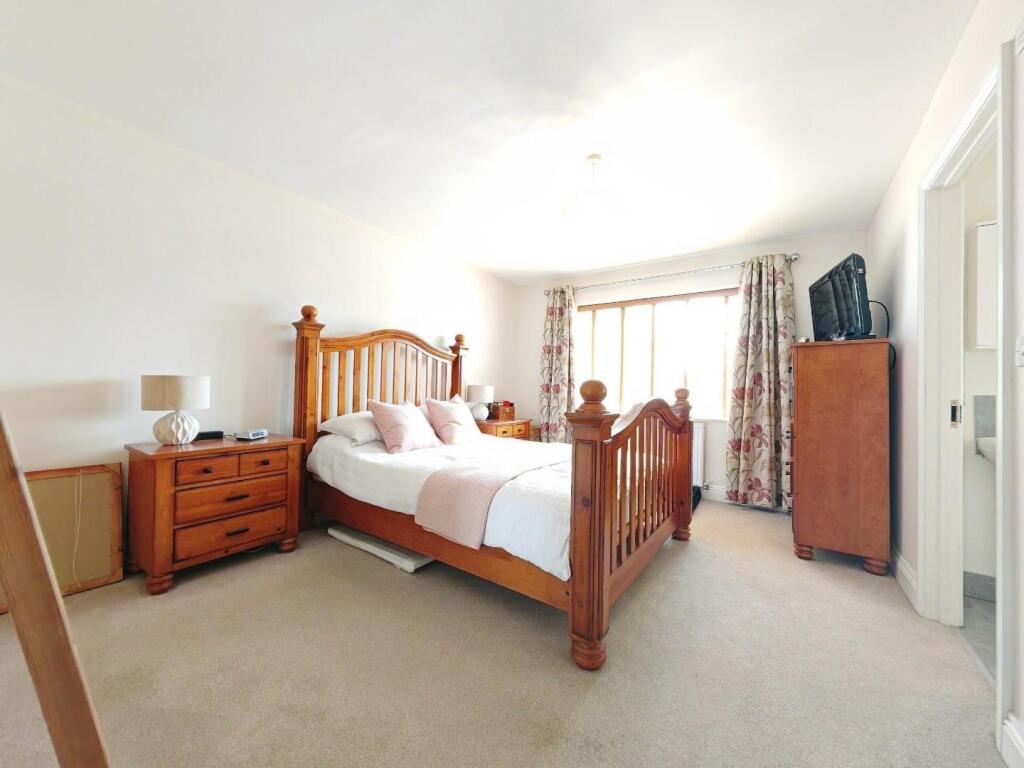
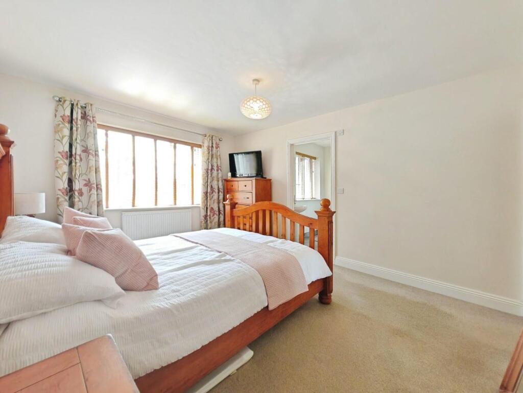
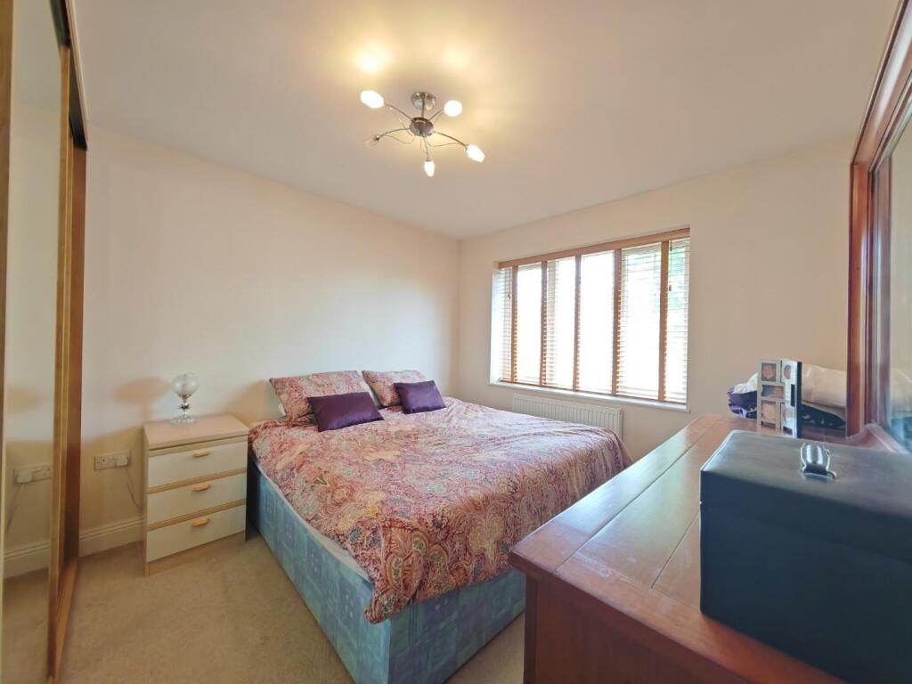
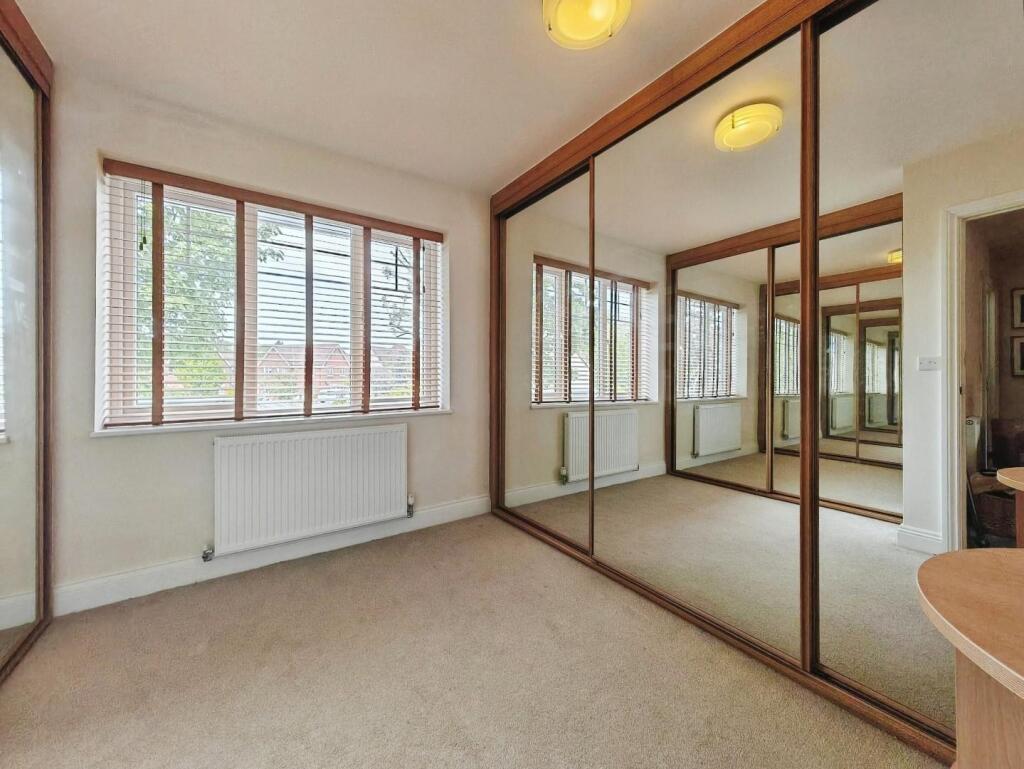
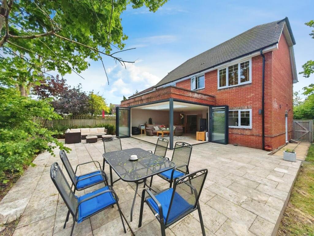
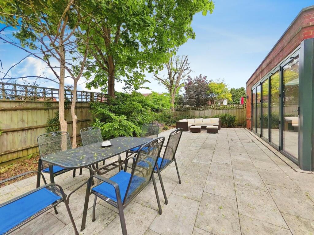
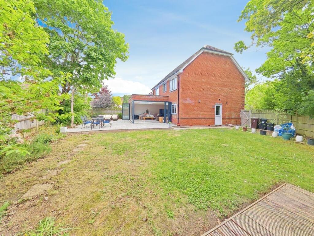
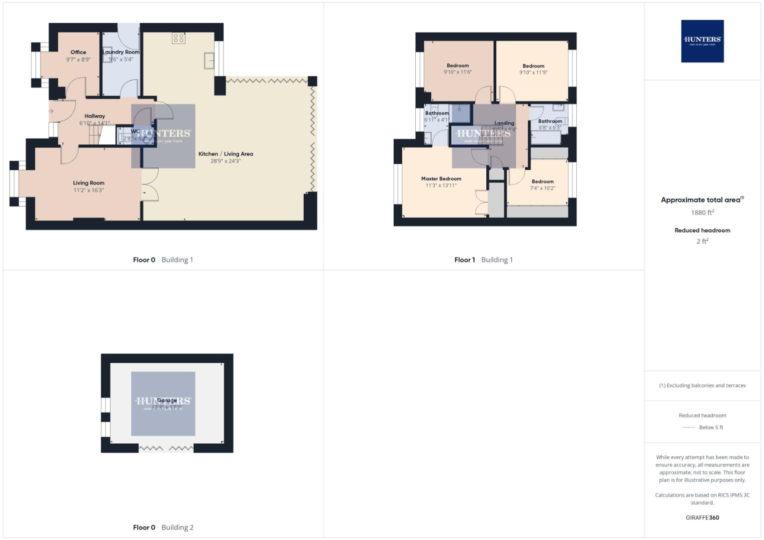
Plough Lane is located in the Norreys area of Wokingham, Berkshire. The property is a house with 4 bedrooms and 2 bathrooms, and a total area of 1,880 sqft. The list price is £900,000. The average house price in the area is £501,159, with an average size of 1,066 sqft and an average price per sqft of £470. Nearby properties range in price from £235,000 to £725,000. The property is within 8km of several train stations, including Wokingham, Crowthorne, Bracknell, Sandhurst (Berks), and Winnersh. Several schools are also within a 2km radius, including Floreat Montague Park Primary School, Brambles Children’s Centre, St Crispin’s School, Keep Hatch Primary School, and Foundry College. Based on the images, the property appears to be in excellent condition, with a modern extension to the rear incorporating a large conservatory-style living area. The kitchen appears recently updated and well-maintained. The garden is of a good size with a patio area and a separate garden building. Given the property’s size (1,880 sqft), location, condition, and the inclusion of a good-sized garden, the list price of £900,000 may be considered high compared to the average house price in the area (£501,159). However, the superior condition, modern extension, and desirable location could justify the higher price point. Further investigation into comparable properties in the immediate vicinity would be needed to definitively assess the value.
Therefore, we give this property 7 / 10. *Disclaimer: This is our option and does constitute a recommendation or financial advice. Do your own research. *
- Price
- 7
- Condition
- 9
- Location
- 8
- Land
- 7
- Bedrooms
- 4
- Bathrooms
- 2
- Sqft (est)
- 1,880.00
The heatmap indicates the level of crime in the area. The color of the heatmap indicates the crime severity and recency.
Metrics Year-on-Year
- Average area value
- 561,923.00 £Increased by 17.28 %
- Est sale value
- 1,035,880.00 £Increased by 30.57 %
- Average area rental value
- 1,746.00 £/moDecreased by 3.54 %
- Est letting value
- 1,880.00 £/moUnchanged by 0.00 %
- Est rental Yield
- 3.73 %Decreased by 17.66 %
- Crime Rate
- 10.00 %Unchanged by 0.00 %
Agent Activity
Hunters created the listing.
Nearby Schools
| Name | Type | Ofsted | Distance |
|---|---|---|---|
| Floreat Montague Park Primary School | Academy Sponsor Led | Requires improvement | 0.74 KM |
| Brambles Children'S Centre | Children's Centre | 1.43 KM | |
| St Crispin'S School | Academy Converter | 1.47 KM | |
| Keep Hatch Primary School | Academy Converter | 1.52 KM | |
| Foundry College | Pupil Referral Unit | Good | 1.55 KM |
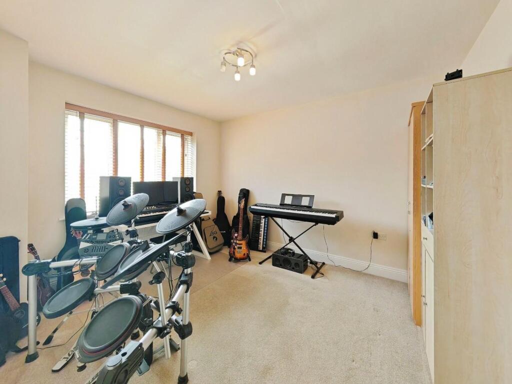
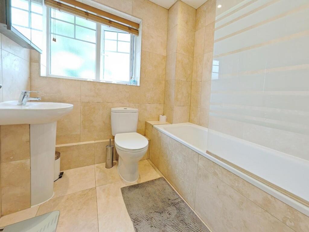
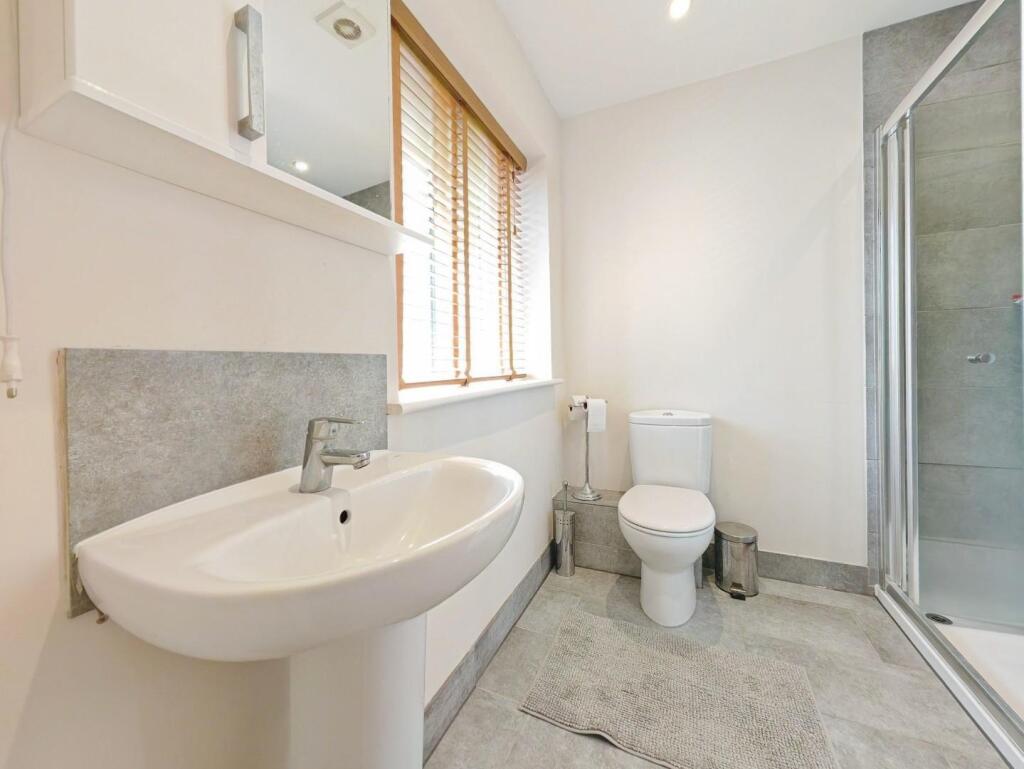
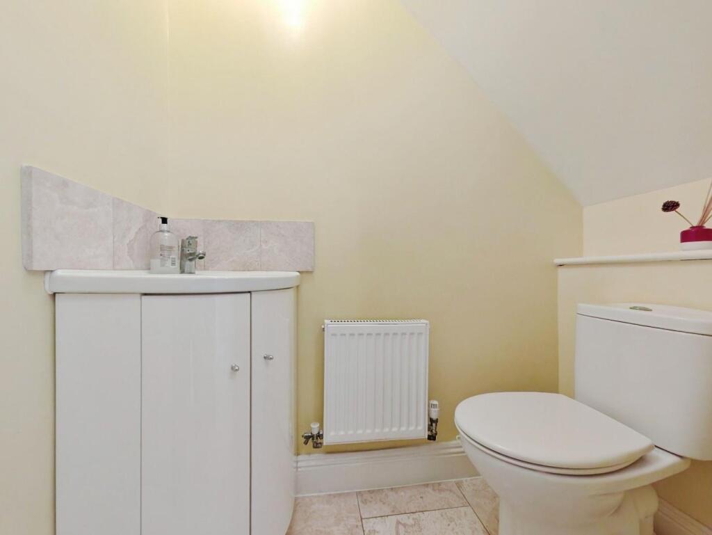
Images


Nearby Streets
| Name | Average Price | Average Sqft | Distance |
|---|---|---|---|
| Baker Crescent | £ 628,333 | 0 | 0.00 KM |
| Tudor Close | £ 0 | 0 | 0.00 KM |
| St. Anne's Drive | £ 0 | 0 | 0.00 KM |
| Sundew Close | £ 0 | 0 | 0.00 KM |
| Binfield Road | £ 0 | 0 | 0.00 KM |
Nearby Transport
| Name | NLC | TLC | Distance |
|---|---|---|---|
| Wokingham | 5696 | WKM | 3.67 KM |
| Crowthorne | 5628 | CRN | 5.38 KM |
| Bracknell | 5693 | BCE | 6.39 KM |
| Sandhurst (Berks) | 5646 | SND | 7.49 KM |
| Winnersh | 5697 | WNS | 7.67 KM |
Nearby Listings
| Address | Price | Type | Score | Distance |
|---|---|---|---|---|
| Plough Lane, Wokingham | £ 900,000 | BUY | 7 / 10 | 0.00 KM |
| Gemini Gardens, Wokingham, Berkshire, RG40 | £ 485,000 | BUY | 7 / 10 | 0.08 KM |
| Carina Drive, Wokingham | £ 245,000 | BUY | 6 / 10 | 0.10 KM |
| Carina Drive, Wokingham, Berkshire, RG40 | £ 550,000 | BUY | 7 / 10 | 0.11 KM |
| Carina Drive, Wokingham, Berkshire, RG40 | £ 275,000 | BUY | Unknown | 0.11 KM |
Nearby Properties
| Address | Price | Distance |
|---|---|---|
| 14 Gemini Gardens | £ 397,000 | 0.07 KM |
| 10 Gemini Gardens | £ 315,000 | 0.07 KM |
| 23 Gemini Gardens | £ 375,000 | 0.07 KM |
| 25 Gemini Gardens | £ 315,000 | 0.07 KM |
| 87 Carina Drive | £ 459,950 | 0.08 KM |