MY
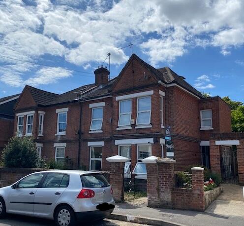
Westridge Road, Southampton, Hampshire, SO17
By MYA Property Ltd
£ 775
MYA Property Ltd says ..
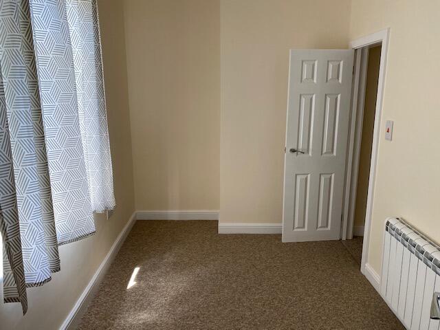
ONE BEDROOM FIRST FLOOR FLAT FOR RENT NEAR PORTSWOOD
- Bedrooms
- 1
- Bathrooms
- 1
The heatmap indicates the level of crime in the area. The color of the heatmap indicates the crime severity and recency.
Metrics Year-on-Year
- Average area value
- 319,167.00 £Increased by 2.36 %
- Average area rental value
- 1,100.00 £/moDecreased by 4.68 %
- Est rental Yield
- 4.14 %Decreased by 6.76 %
- Crime Rate
- 9.00 %Unchanged by 0.00 %
from 311,822.00 £
from 1,154.00 £/mo
from 4.44 %
from 9.00 %
Agent Activity
MYA Property Ltd created the listing.
Nearby Schools
| Name | Type | Ofsted | Distance |
|---|---|---|---|
| St Denys Primary School | Foundation School | Good | 0.80 KM |
| Portswood Primary School | Academy Converter | 0.91 KM | |
| Bevois Town Primary School | Foundation School | Good | 0.98 KM |
| Mount Pleasant Junior School | Foundation School | Requires improvement | 1.00 KM |
| The Gregg Preparatory School | Other Independent School | 1.08 KM |
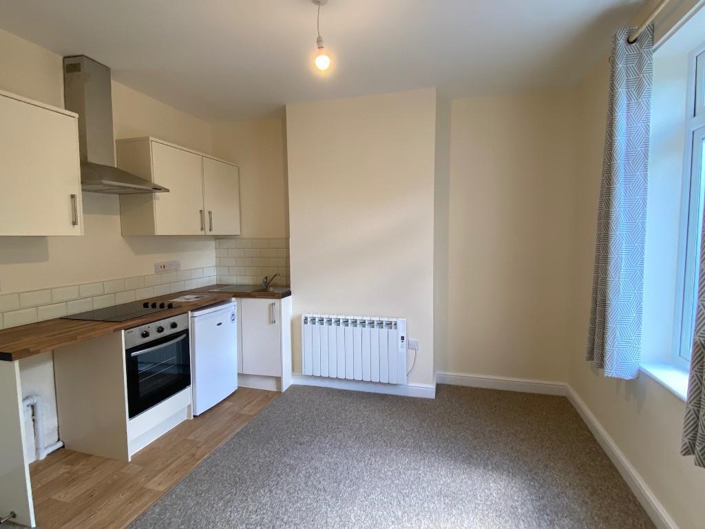
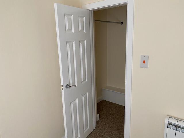
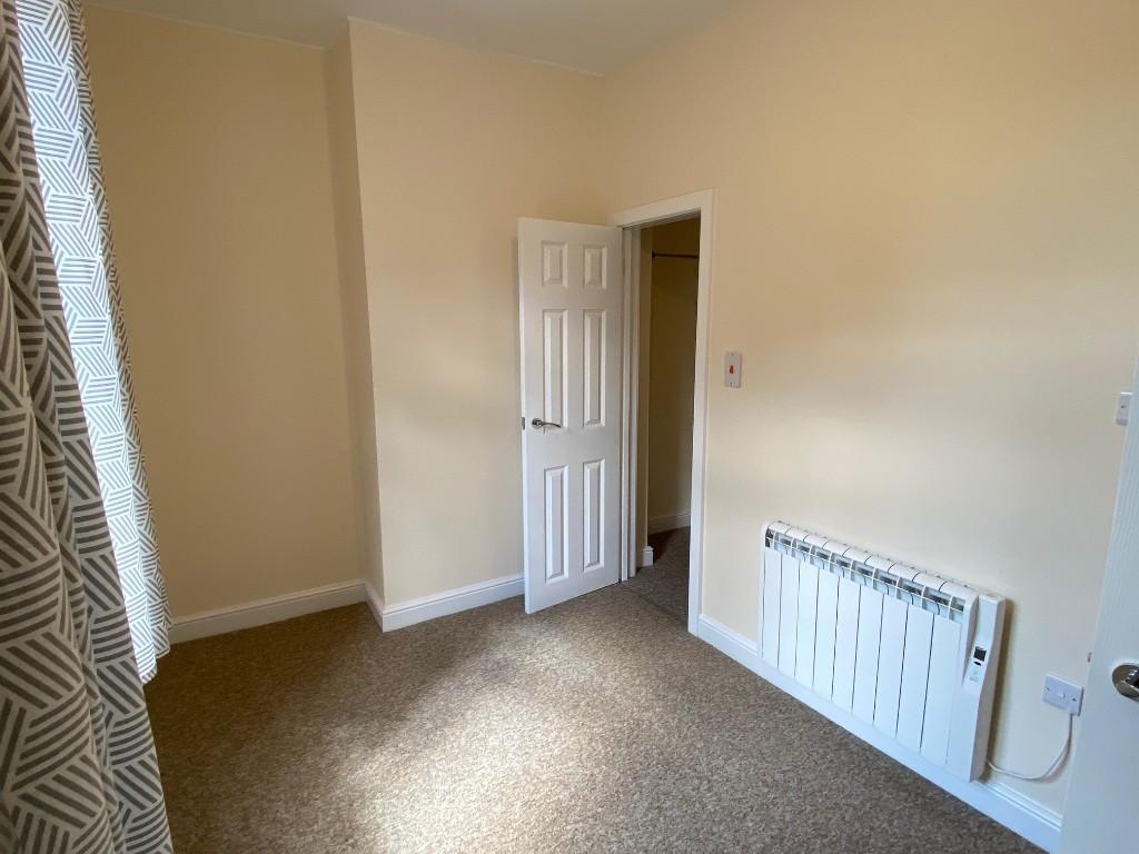
Images


Nearby Streets
| Name | Average Price | Average Sqft | Distance |
|---|---|---|---|
| Russell Place | £ 0 | 0 | 0.00 KM |
| Collier Close | £ 0 | 0 | 0.00 KM |
| Griffin Court | £ 0 | 0 | 0.00 KM |
| Northam Bridge | £ 0 | 0 | 0.00 KM |
| Raven Road | £ 0 | 0 | 0.00 KM |
Nearby Transport
| Name | NLC | TLC | Distance |
|---|---|---|---|
| St Denys | 5914 | SDN | 0.43 KM |
| Bitterne | 5945 | BTE | 1.70 KM |
| Swaythling | 5933 | SWG | 2.54 KM |
| Southampton Central | 5932 | SOU | 3.06 KM |
| Woolston | 5925 | WLS | 3.18 KM |
Nearby Listings
| Address | Price | Type | Score | Distance |
|---|---|---|---|---|
| Westridge Road, Southampton, Hampshire, SO17 | £ 775 | RENT | Unknown | 0.00 KM |
| Westridge Road, Southampton, Hampshire, SO17 | £ 600 | RENT | Unknown | 0.00 KM |
| 59 Westridge Road | £ 1,062 | RENT | Unknown | 0.01 KM |
| Westridge Road, Southampton, Hampshire, SO17 | £ 1,750 | RENT | Unknown | 0.03 KM |
| Master Gunner Place, LONDON | £ 2,000 | RENT | Unknown | 0.03 KM |
Nearby Properties
| Address | Price | Distance |
|---|---|---|
| 57 Westridge Road | £ 345,000 | 0.04 KM |
| 67a Westridge Road | £ 49,000 | 0.04 KM |
| 59 Westridge Road | £ 255,000 | 0.05 KM |
| 61 Westridge Road | £ 118,000 | 0.05 KM |
| 71 Westridge Road | £ 399,000 | 0.05 KM |