AD
Walton Village, ,
By Address Properties
£ 120
Address Properties says ..
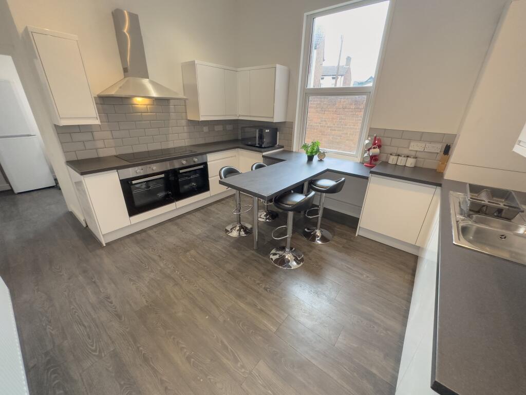
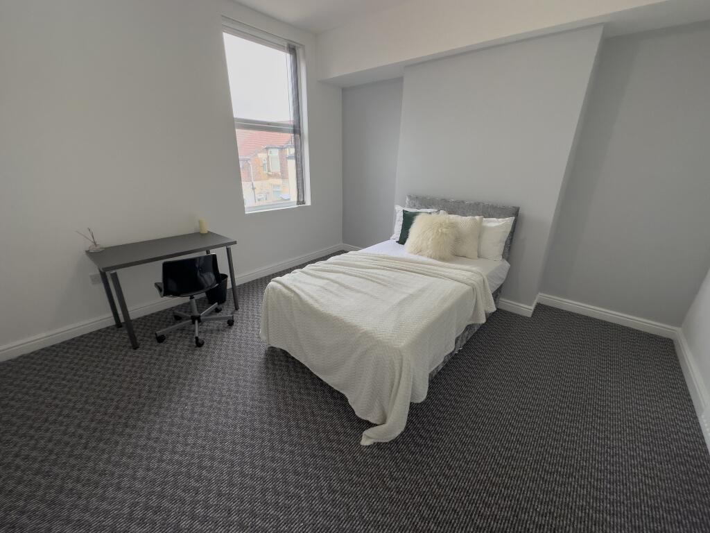
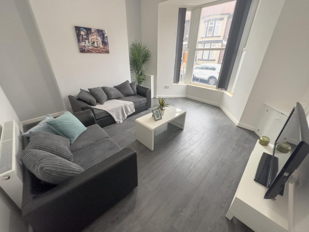
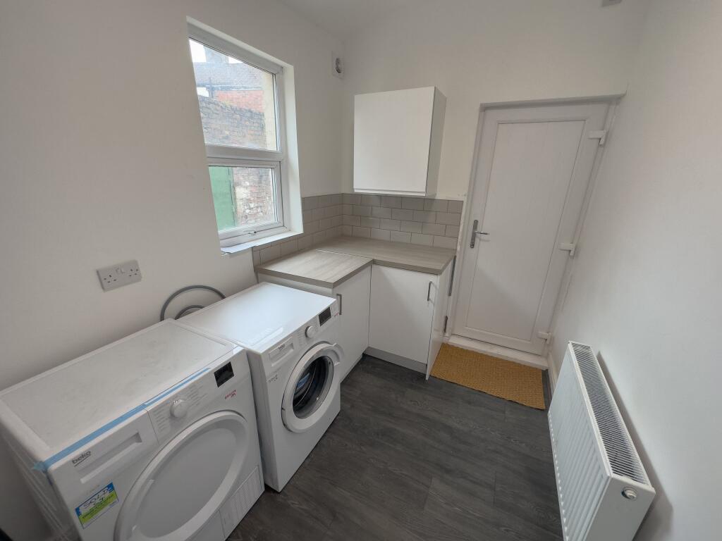
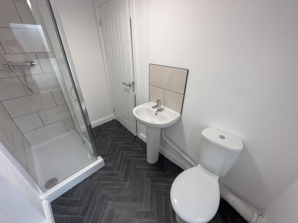
£120 pppw - 1 DOUBLE BEDROOM IN A 6 BED HOUSE SHARE - PERFECT FOR YOUNG PROFESSIONALS
- Bedrooms
- 1
- Bathrooms
- 1
The heatmap indicates the level of crime in the area. The color of the heatmap indicates the crime severity and recency.
Metrics Year-on-Year
- Average area value
- 116,250.00 £Increased by 8.73 %
- Average area rental value
- 695.00 £/moDecreased by 10.67 %
- Est rental Yield
- 7.17 %Decreased by 17.87 %
- Crime Rate
- 7.00 %Unchanged by 0.00 %
from 106,921.00 £
from 778.00 £/mo
from 8.73 %
from 7.00 %
Agent Activity
Address Properties created the listing.
Nearby Schools
| Name | Type | Ofsted | Distance |
|---|---|---|---|
| Alsop High School | Academy Sponsor Led | 0.21 KM | |
| Northcote Primary School | Community School | Good | 0.62 KM |
| Gwladys Street Primary And Nursery School | Community School | Good | 0.68 KM |
| Liverpool Progressive School | Other Independent Special School | Outstanding | 0.74 KM |
| Walton Children'S Centre | Children's Centre Linked Site | 0.75 KM |
Images
Nearby Streets
| Name | Average Price | Average Sqft | Distance |
|---|---|---|---|
| Drayton Road | £ 75,000 | 0 | 0.00 KM |
| St Mary's Avenue | £ 0 | 0 | 0.00 KM |
| Elm Road | £ 0 | 0 | 0.00 KM |
| Beech Road | £ 133,750 | 0 | 0.00 KM |
| Heathcote Road | £ 0 | 0 | 0.00 KM |
Nearby Transport
| Name | NLC | TLC | Distance |
|---|---|---|---|
| Walton (Merseyside) | 2251 | WAO | 1.27 KM |
| Rice Lane | 2131 | RIL | 1.38 KM |
| Orrell Park | 2247 | OPK | 1.84 KM |
| Kirkdale | 2245 | KKD | 2.14 KM |
| Bank Hall | 2238 | BAH | 2.92 KM |
Nearby Listings
| Address | Price | Type | Score | Distance |
|---|---|---|---|---|
| Walton Village, , | £ 120 | RENT | Unknown | 0.00 KM |
| Walton Village, L4 6TN, | £ 115 | RENT | Unknown | 0.00 KM |
| Walton Village, L4 6TN, | £ 125 | RENT | Unknown | 0.00 KM |
| Liverpool, Merseyside, L4 | £ 765 | RENT | Unknown | 0.06 KM |
| Drayton Road, Liverpool, L4 | £ 695 | RENT | Unknown | 0.07 KM |
Nearby Properties
| Address | Price | Distance |
|---|---|---|
| 13 Stoddart Road | £ 40,000 | 0.04 KM |
| 27 Stoddart Road | £ 63,000 | 0.04 KM |
| 15 Stoddart Road | £ 78,000 | 0.04 KM |
| 3 Stoddart Road | £ 26,950 | 0.04 KM |
| 25 Stoddart Road | £ 67,000 | 0.04 KM |